Train-the-Trainers 2 Workshop Overview
12
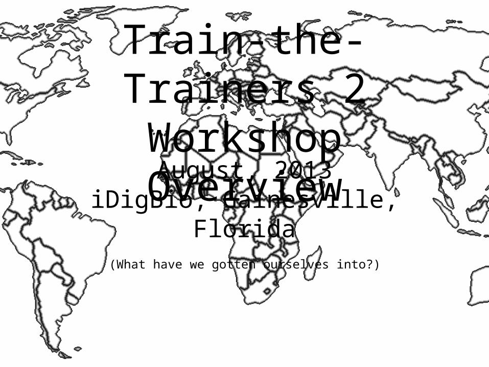
Train-the- Trainers 2 Workshop Overview August, 2013 iDigBio, Gainesville, Florida (What have we gotten ourselves into?)
-
Upload
montana-ochoa -
Category
Documents
-
view
39 -
download
0
description
Train-the-Trainers 2 Workshop Overview. August, 2013 iDigBio, Gainesville, Florida. (What have we gotten ourselves into?). Georeferencing. Collaborations. Automation. Georeferencing Concepts. Point Radius Method. Uncertainty and Best Practices. Good and Bad Locality Descriptions. - PowerPoint PPT Presentation
Transcript of Train-the-Trainers 2 Workshop Overview
Train-the-Trainers 2Workshop Overview
August, 2013iDigBio, Gainesville, Florida
(What have we gotten ourselves into?)
Georeferencing
Collaborations
Automation
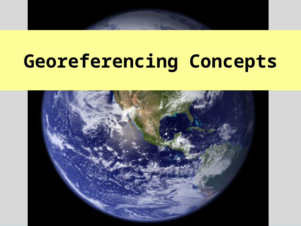
Georeferencing Concepts
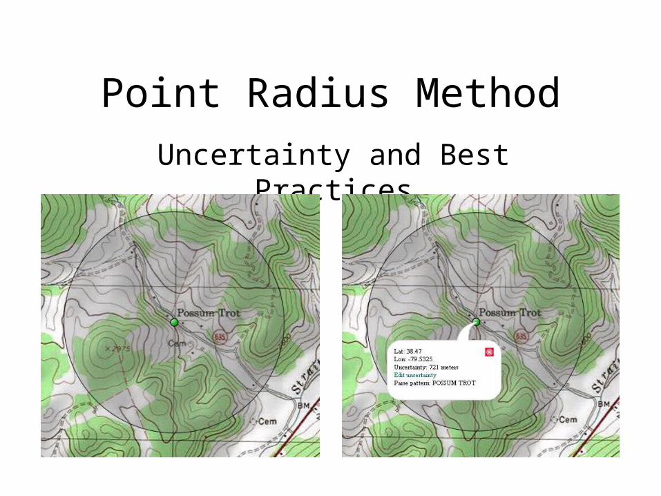
Point Radius Method
Uncertainty and Best Practices
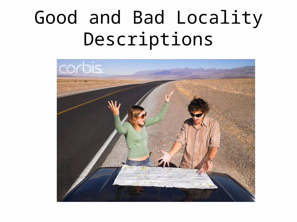
Good and Bad Locality Descriptions
Elements and Examples
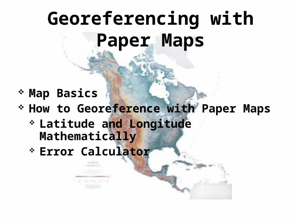
Georeferencing with Paper Maps
Map Basics How to Georeference with Paper Maps
Latitude and Longitude Mathematically
Error Calculator
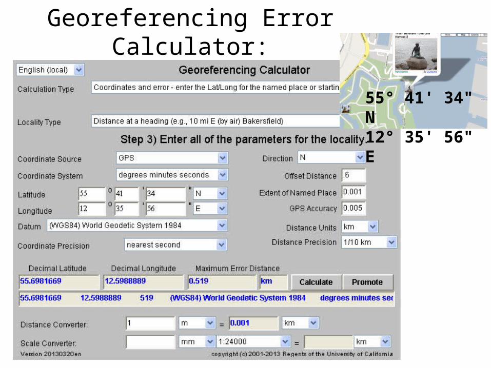
Georeferencing Error Calculator:0.6 km N of Little Mermaid, Copenhagen, DK
55° 41' 34" N12° 35' 56" E
Online Resources for Georeferencing
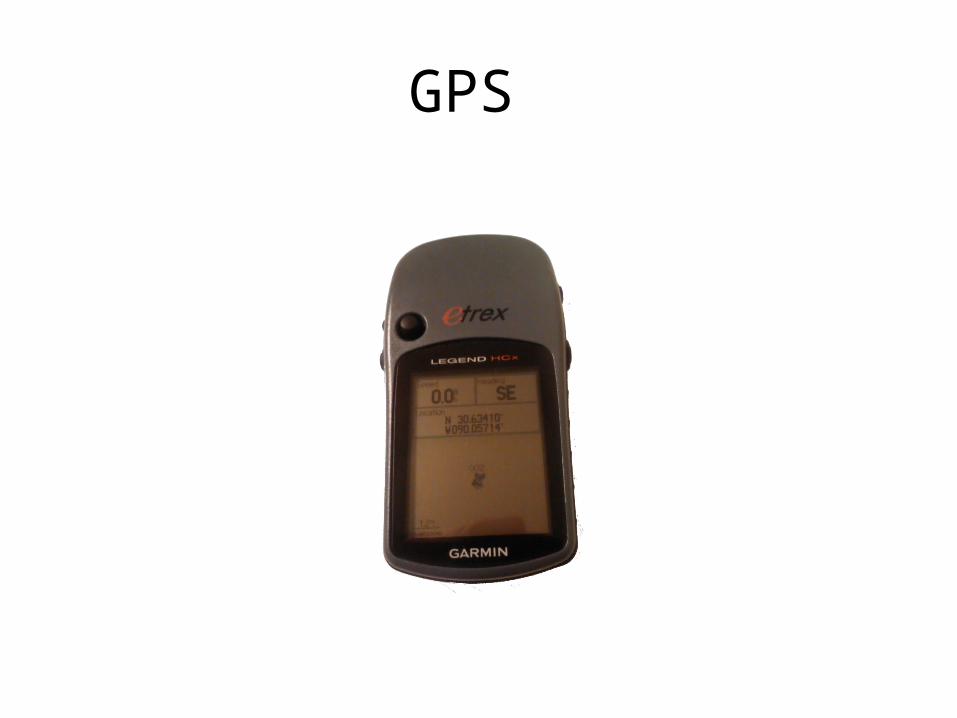
GPS
Georeferencing Natural History Collections Data:
The GEOLocate Project
Nelson E. Rios

Workflows
Data Cleaning
Becoming a Trainer
And more…
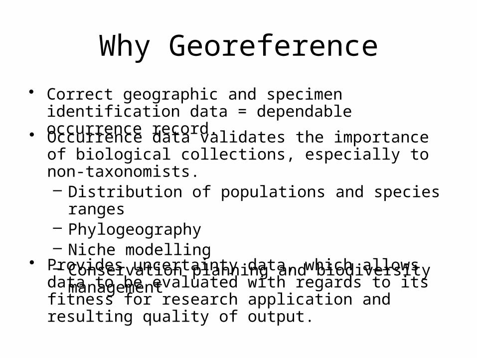
Why Georeference
• Correct geographic and specimen identification data = dependable occurrence record.
• Occurrence data validates the importance of biological collections, especially to non-taxonomists.– Distribution of populations and species ranges– Phylogeography– Niche modelling– Conservation planning and biodiversity management
• Provides uncertainty data, which allows data to be evaluated with regards to its fitness for research application and resulting quality of output.