Welcome to DEP’s GIS Workshop Series
26
Welcome to Welcome to DEP’s GIS Workshop DEP’s GIS Workshop Series Series Workshop 3 Introduction to ArcGIS Desktop 1
-
Upload
iola-norman -
Category
Documents
-
view
36 -
download
0
description
Welcome to DEP’s GIS Workshop Series. Workshop 3 Introduction to ArcGIS Desktop. What is ArcGIS Desktop? ArcGIS Desktop is a suite of GIS software products used in DEP. The components are: ArcCatalog ArcMap ArcToolbox Extensions. Introduction to ArcGIS Desktop. - PowerPoint PPT Presentation
Transcript of Welcome to DEP’s GIS Workshop Series
Welcome to Welcome to DEP’s GIS Workshop DEP’s GIS Workshop
SeriesSeries
Workshop 3Introduction to ArcGIS Desktop
1
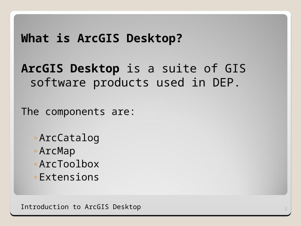
What is ArcGIS Desktop?
ArcGIS Desktop is a suite of GIS software products used in DEP.
The components are:
◦ArcCatalog◦ArcMap◦ArcToolbox◦Extensions
Introduction to ArcGIS Desktop 2
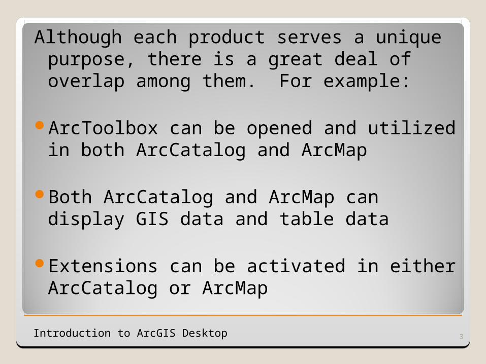
Although each product serves a unique purpose, there is a great deal of overlap among them. For example:
ArcToolbox can be opened and utilized in both ArcCatalog and ArcMap
Both ArcCatalog and ArcMap can display GIS data and table data
Extensions can be activated in either ArcCatalog or ArcMap
Introduction to ArcGIS Desktop 3
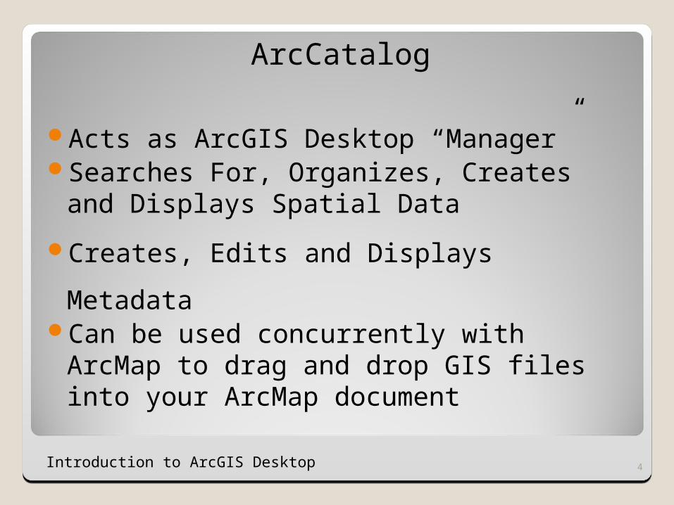
ArcCatalog
Acts as ArcGIS Desktop “Manager”Searches For, Organizes, Creates and
Displays Spatial Data
Creates, Edits and Displays MetadataCan be used concurrently with ArcMap to
drag and drop GIS files into your ArcMap document
Introduction to ArcGIS Desktop 4
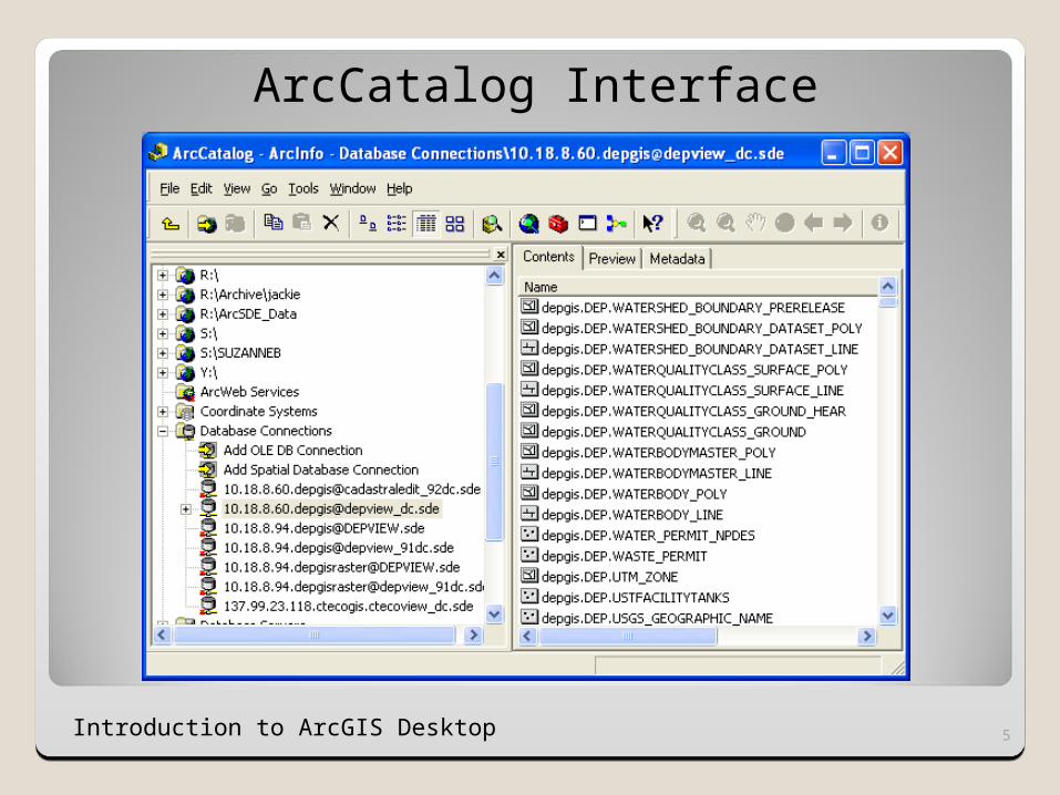
ArcCatalog Interface
Introduction to ArcGIS Desktop 5
Introduction to ArcGIS Desktop 6
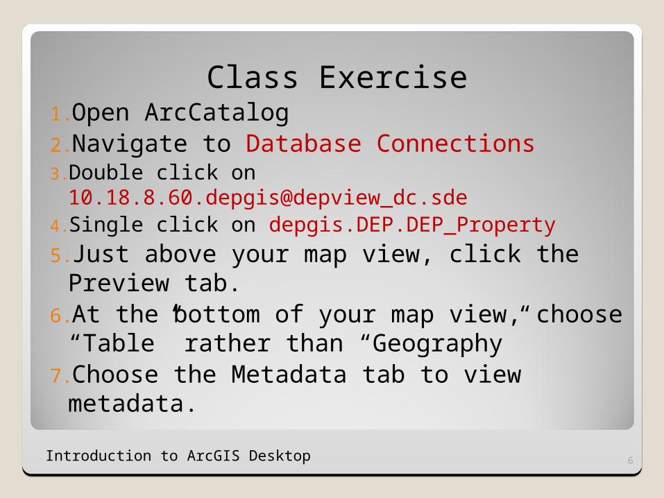
Class Exercise1.Open ArcCatalog2.Navigate to Database Connections3.Double click on
10.18.8.60.depgis@depview_dc.sde4.Single click on depgis.DEP.DEP_Property
5.Just above your map view, click the Preview tab.
6.At the bottom of your map view, choose “Table” rather than “Geography”
7.Choose the Metadata tab to view metadata.
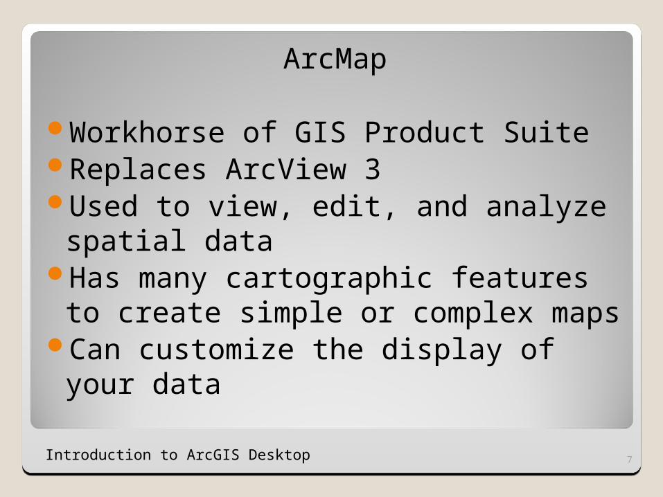
ArcMap
Workhorse of GIS Product SuiteReplaces ArcView 3Used to view, edit, and analyze
spatial dataHas many cartographic features to
create simple or complex mapsCan customize the display of your
data
Introduction to ArcGIS Desktop 7
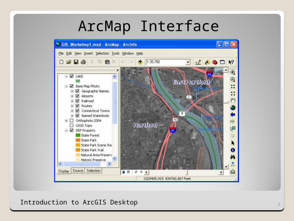
ArcMap Interface
Introduction to ArcGIS Desktop 8

Introduction to ArcGIS Desktop 9
Class Exercise
1.From ArcCatalog, navigate to C:\
ArcGIS_Training\Class3\
2.Double click on Class3_Doc1.mxd
3.What data is in your Table of Contents?
4.Where is your “Tools” toolbar located?
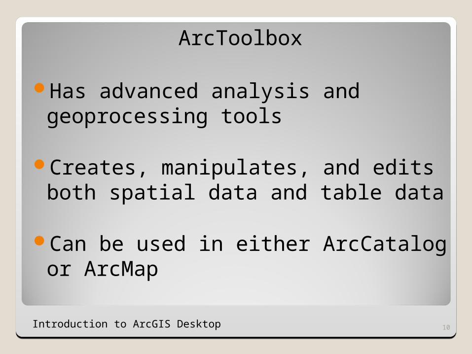
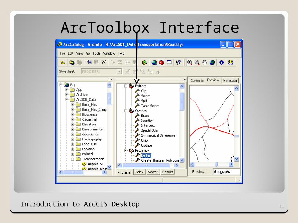
ArcToolbox
Has advanced analysis and geoprocessing tools
Creates, manipulates, and edits both spatial data and table data
Can be used in either ArcCatalog or ArcMap
Introduction to ArcGIS Desktop 10
Introduction to ArcGIS Desktop 11
ArcToolbox Interface
Introduction to ArcGIS Desktop 12
Class Exercise
1.From ArcCatalog or ArcMap, single click on the red toolbox.
2.Scroll down to Data Management and expand this category.
3.Click on “General”. What tools are available to you?
4.To expand all the tools in one category, hold down the Control key while you click.
Introduction to ArcGIS Desktop 13
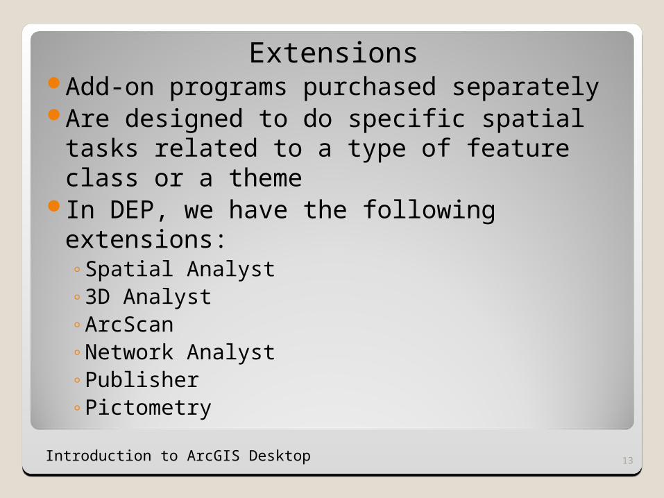
ExtensionsAdd-on programs purchased separatelyAre designed to do specific spatial tasks
related to a type of feature class or a theme
In DEP, we have the following extensions:◦Spatial Analyst◦3D Analyst◦ArcScan◦Network Analyst◦Publisher◦Pictometry
Introduction to ArcGIS Desktop 14
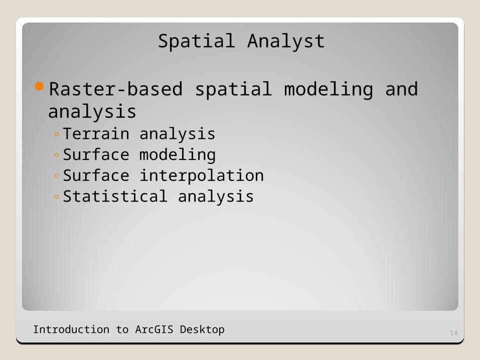
Spatial Analyst
Raster-based spatial modeling and analysis◦Terrain analysis◦Surface modeling◦Surface interpolation◦Statistical analysis
Introduction to ArcGIS Desktop 15
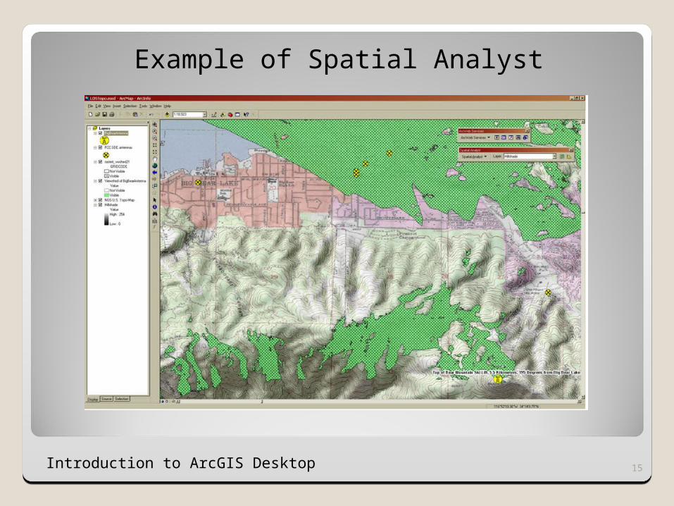
Example of Spatial Analyst
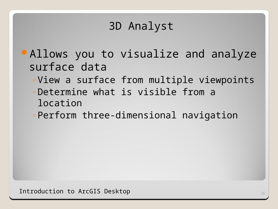
3D Analyst
Allows you to visualize and analyze surface data◦View a surface from multiple viewpoints◦Determine what is visible from a location◦Perform three-dimensional navigation
16Introduction to ArcGIS Desktop
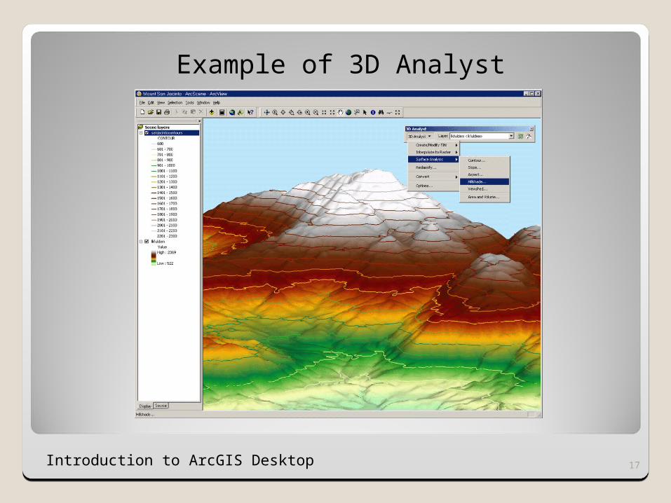
Example of 3D Analyst
17Introduction to ArcGIS Desktop
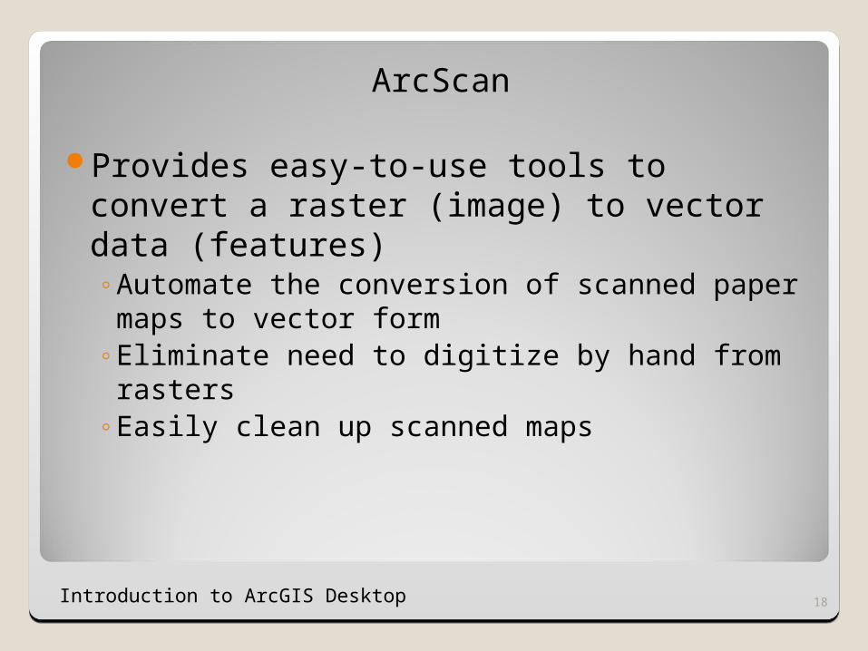
ArcScan
Provides easy-to-use tools to convert a raster (image) to vector data (features)◦Automate the conversion of scanned paper
maps to vector form◦Eliminate need to digitize by hand from rasters◦Easily clean up scanned maps
18Introduction to ArcGIS Desktop
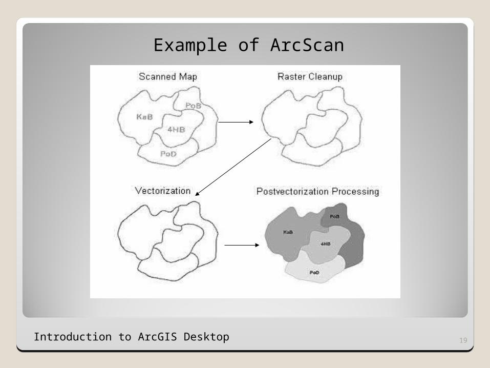
Example of ArcScan
19Introduction to ArcGIS Desktop
Network Analyst
Provides network-based analysis such as routing, travel directions, closest facility and service area analysis◦Drive-time analysis◦Point to point routing◦Route directions◦Shortest path◦Optimum route◦Closest facility
20Introduction to ArcGIS Desktop
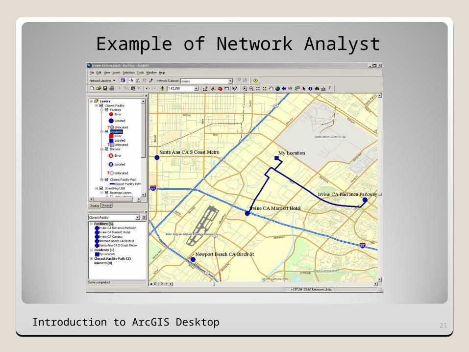
Example of Network Analyst
21Introduction to ArcGIS Desktop
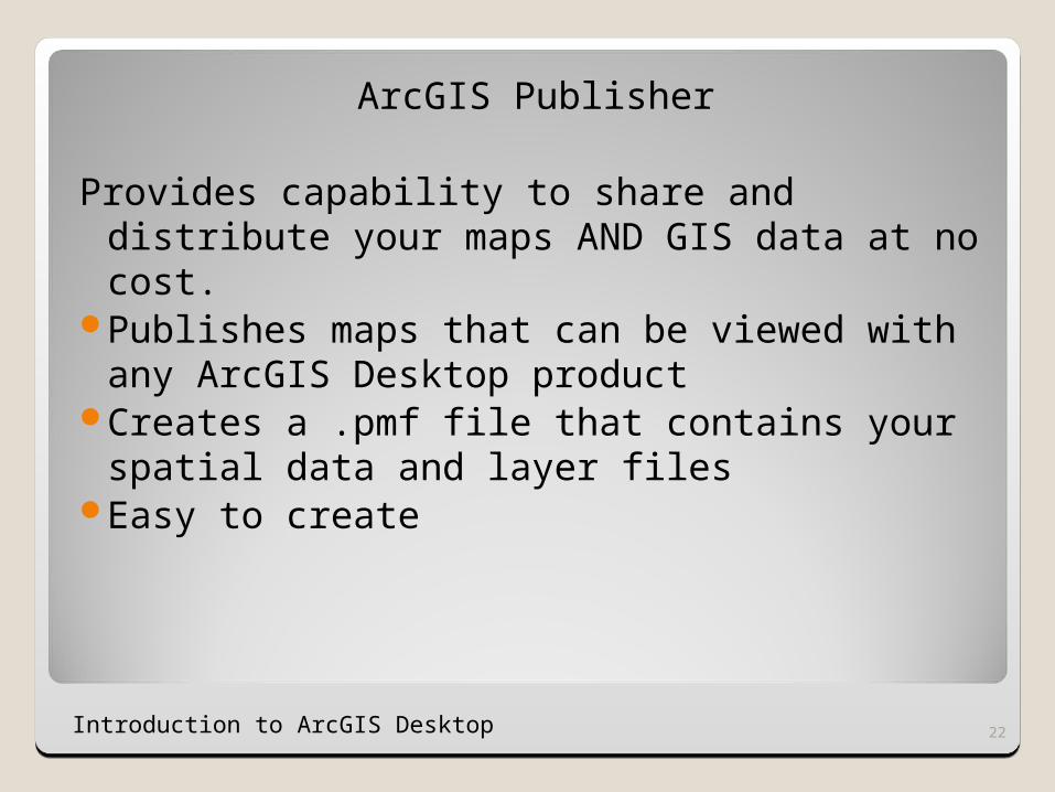
ArcGIS Publisher
Provides capability to share and distribute your maps AND GIS data at no cost.
Publishes maps that can be viewed with any ArcGIS Desktop product
Creates a .pmf file that contains your spatial data and layer files
Easy to create
22Introduction to ArcGIS Desktop
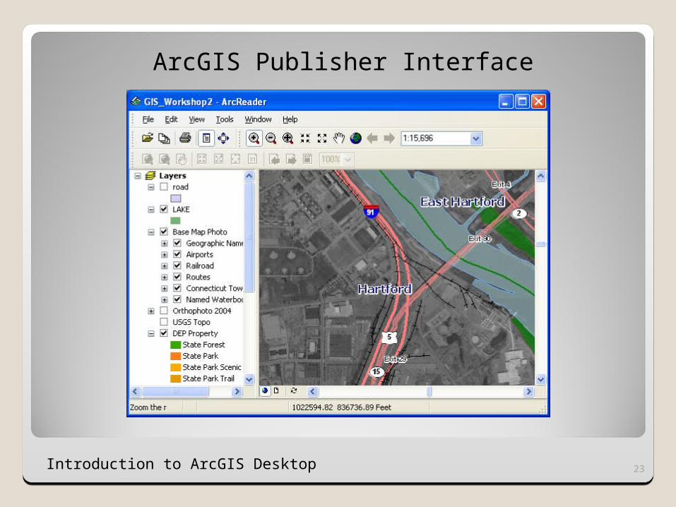
ArcGIS Publisher Interface
23Introduction to ArcGIS Desktop
Introduction to ArcGIS Desktop 24
Class Exercise
1.From ArcMap, choose Tools, Extensions. 2.Check the Spatial Analyst extension and
click “Close”. 3.Right click anywhere in the toolbar area at
the top of your screen. Choose the “Spatial Analyst” toolbar.
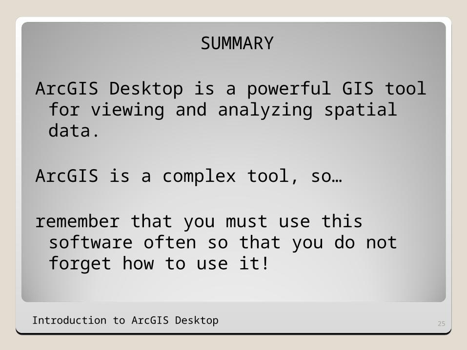
SUMMARY
ArcGIS Desktop is a powerful GIS tool for viewing and analyzing spatial data.
ArcGIS is a complex tool, so…
remember that you must use this software often so that you do not forget how to use it!
25Introduction to ArcGIS Desktop
End of Workshop 3End of Workshop 3
26