Unit 2 The United States and Canada - Marlboro County...
26
Unit 2 The United States and Canada Chapter 5 A Land of Contrasts Page 117
Transcript of Unit 2 The United States and Canada - Marlboro County...
Unit 2The United States and Canada
Chapter 5
A Land of Contrasts
Page 117
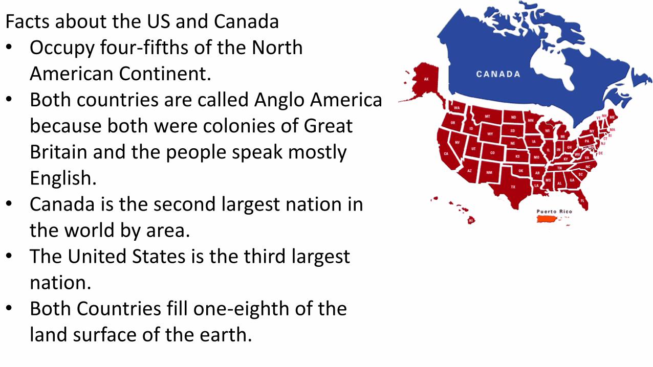
Facts about the US and Canada• Occupy four-fifths of the North
American Continent.• Both countries are called Anglo America
because both were colonies of Great Britain and the people speak mostly English.
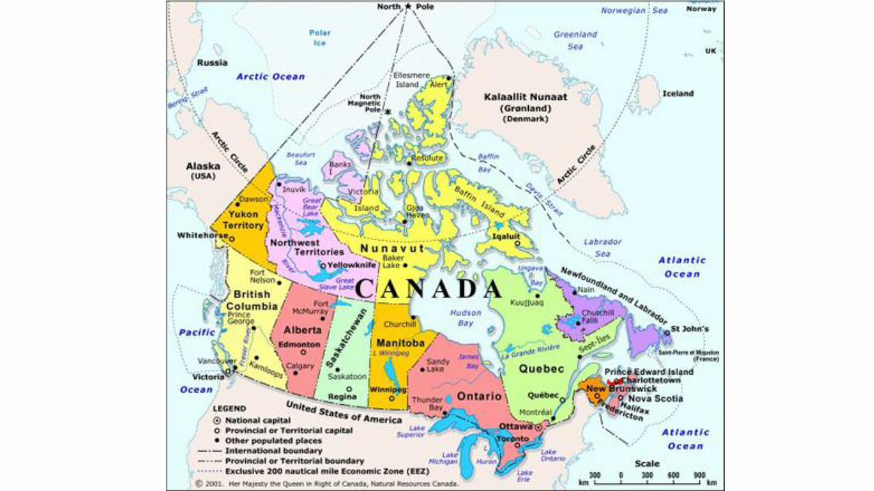
• Canada is the second largest nation in the world by area.
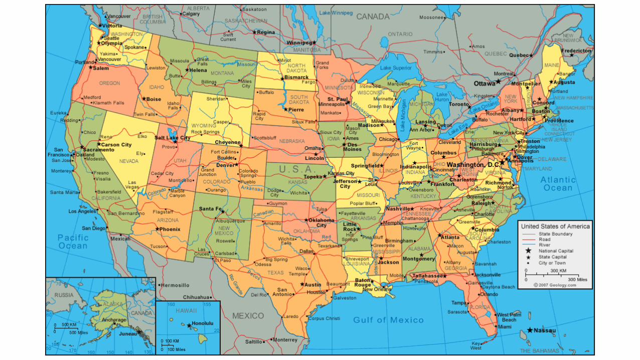
• The United States is the third largest nation.
• Both Countries fill one-eighth of the land surface of the earth.
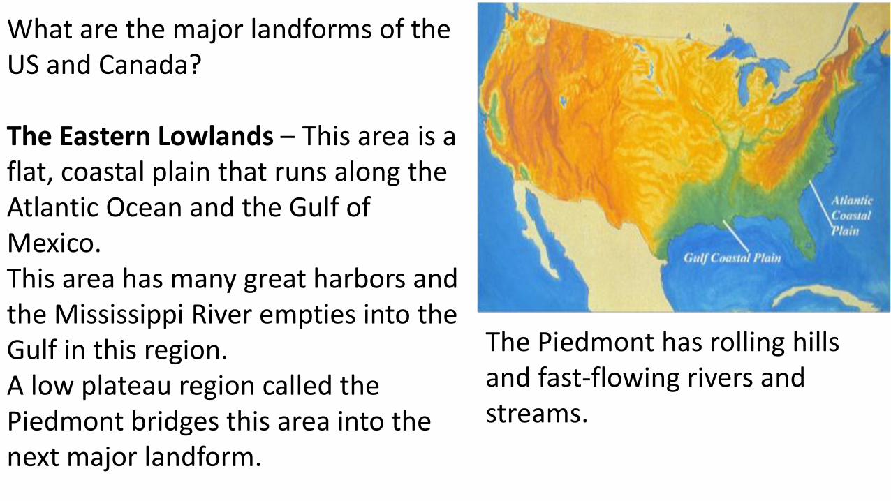
What are the major landforms of the US and Canada?
The Eastern Lowlands – This area is a flat, coastal plain that runs along the Atlantic Ocean and the Gulf of Mexico.This area has many great harbors and the Mississippi River empties into the Gulf in this region. A low plateau region called the Piedmont bridges this area into the next major landform.
The Piedmont has rolling hills and fast-flowing rivers and streams.
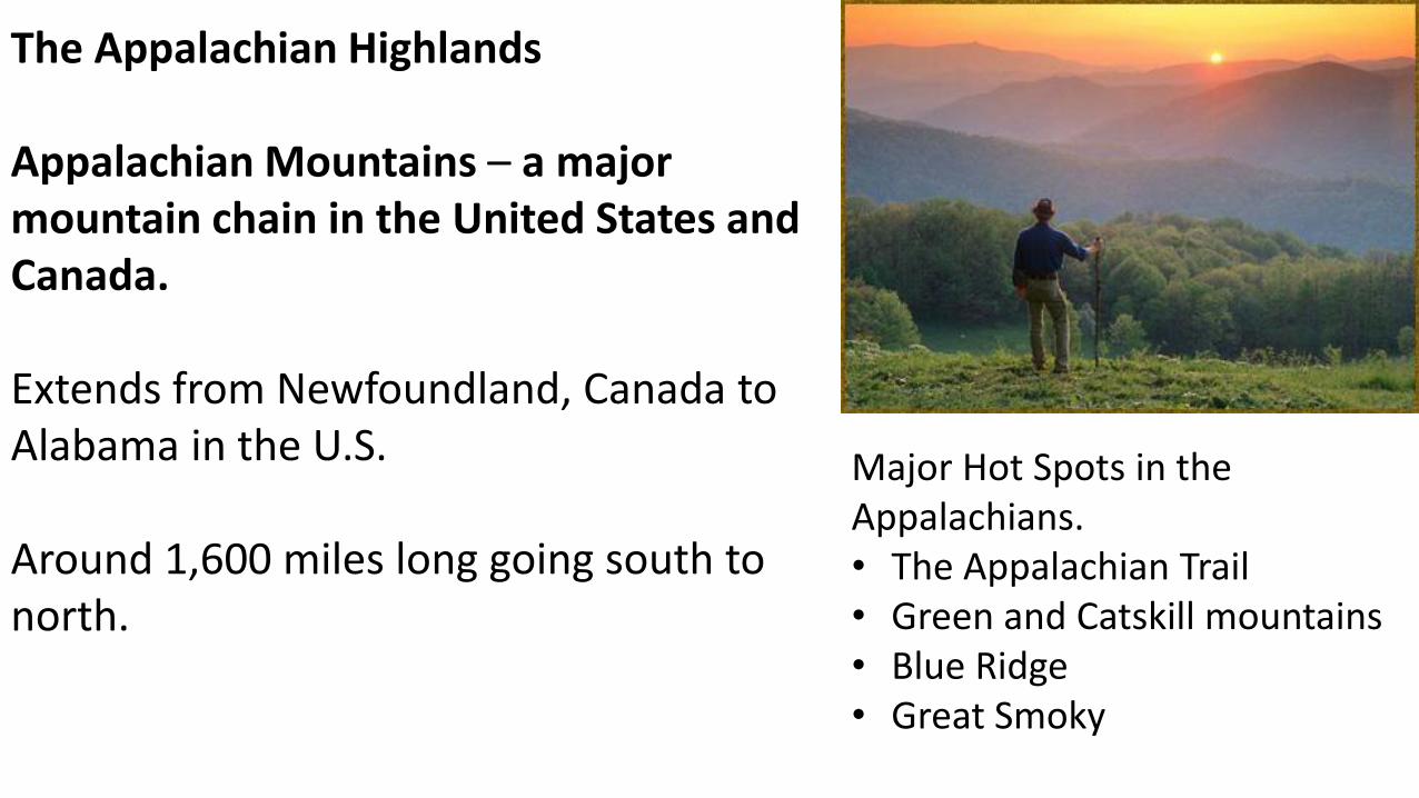
The Appalachian Highlands
Appalachian Mountains – a major mountain chain in the United States and Canada.
Extends from Newfoundland, Canada to Alabama in the U.S.
Around 1,600 miles long going south to north.
Major Hot Spots in the Appalachians.• The Appalachian Trail• Green and Catskill mountains• Blue Ridge• Great Smoky
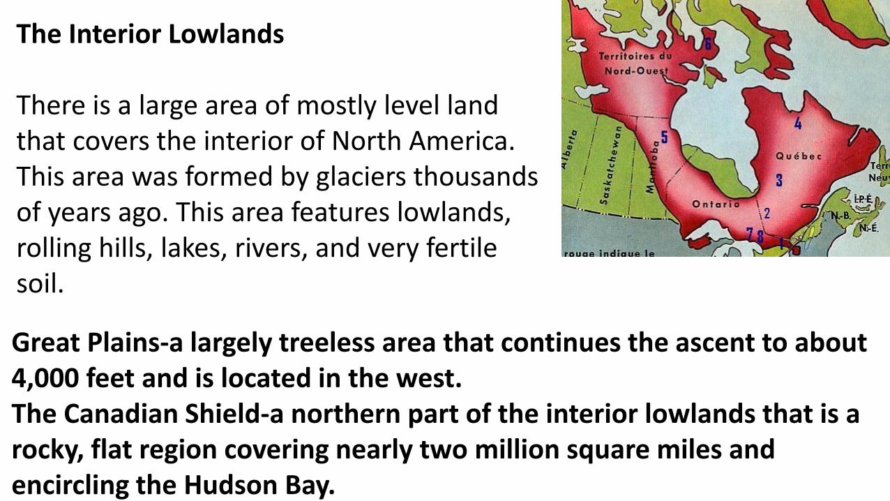
The Interior Lowlands
There is a large area of mostly level land that covers the interior of North America. This area was formed by glaciers thousands of years ago. This area features lowlands, rolling hills, lakes, rivers, and very fertile soil.
Great Plains-a largely treeless area that continues the ascent to about 4,000 feet and is located in the west.The Canadian Shield-a northern part of the interior lowlands that is a rocky, flat region covering nearly two million square miles and encircling the Hudson Bay.
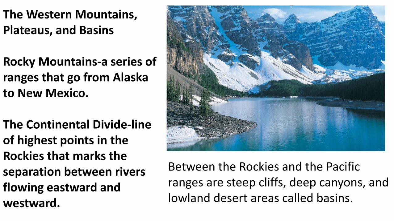
The Western Mountains, Plateaus, and Basins
Rocky Mountains-a series of ranges that go from Alaska to New Mexico.
The Continental Divide-line of highest points in the Rockies that marks the separation between rivers flowing eastward and westward.
Between the Rockies and the Pacific ranges are steep cliffs, deep canyons, and lowland desert areas called basins.
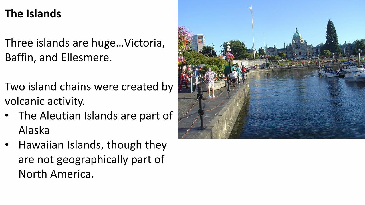
The Islands
Three islands are huge…Victoria, Baffin, and Ellesmere.
Two island chains were created by volcanic activity.• The Aleutian Islands are part of
Alaska• Hawaiian Islands, though they
are not geographically part of North America.
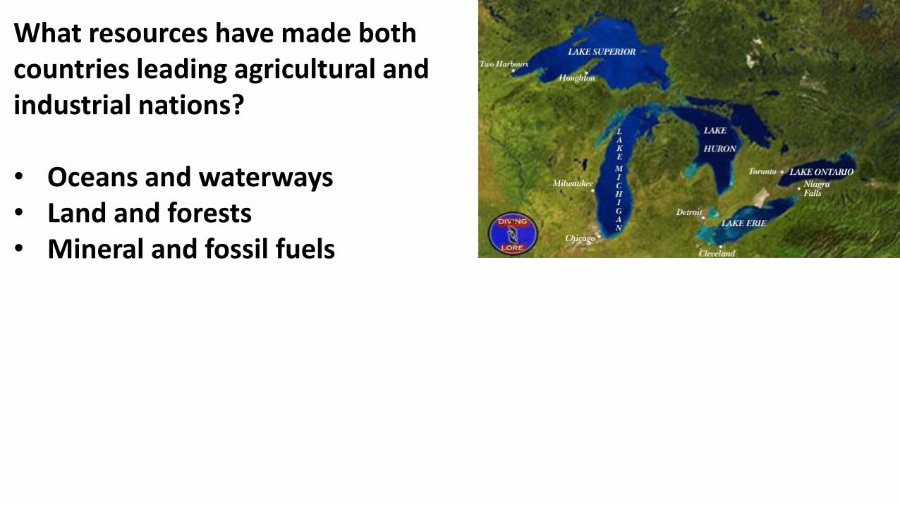
What resources have made both countries leading agricultural and industrial nations?
• Oceans and waterways• Land and forests• Mineral and fossil fuels
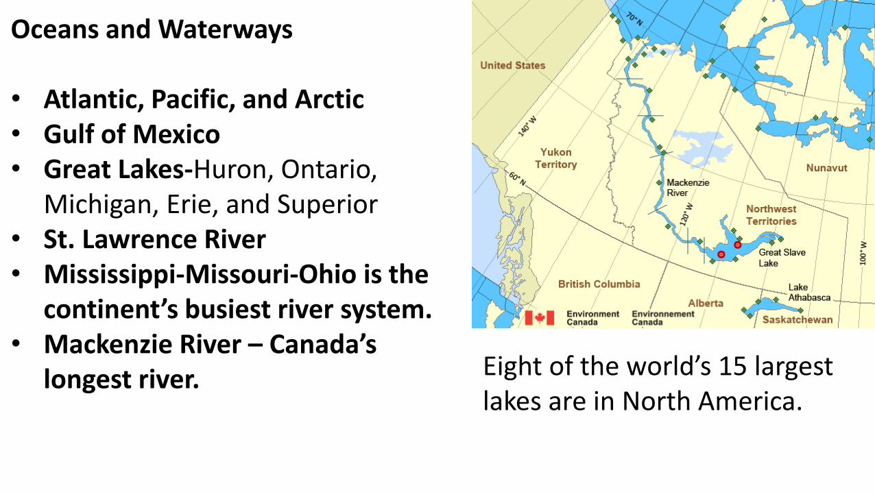
Oceans and Waterways
• Atlantic, Pacific, and Arctic• Gulf of Mexico• Great Lakes-Huron, Ontario,
Michigan, Erie, and Superior• St. Lawrence River• Mississippi-Missouri-Ohio is the
continent’s busiest river system.• Mackenzie River – Canada’s
longest river. Eight of the world’s 15 largest lakes are in North America.
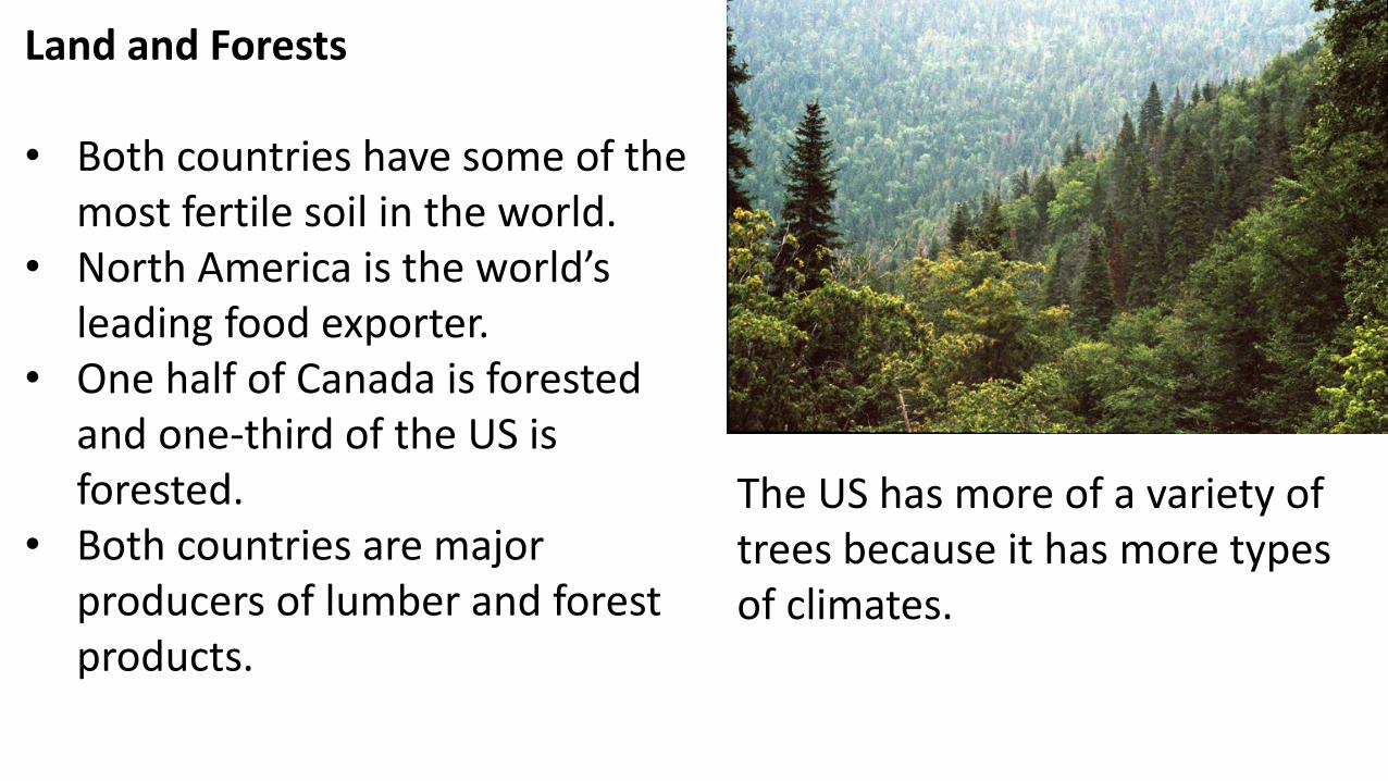
Land and Forests
• Both countries have some of the most fertile soil in the world.
• North America is the world’s leading food exporter.
• One half of Canada is forested and one-third of the US is forested.
• Both countries are major producers of lumber and forest products.
The US has more of a variety of trees because it has more types of climates.
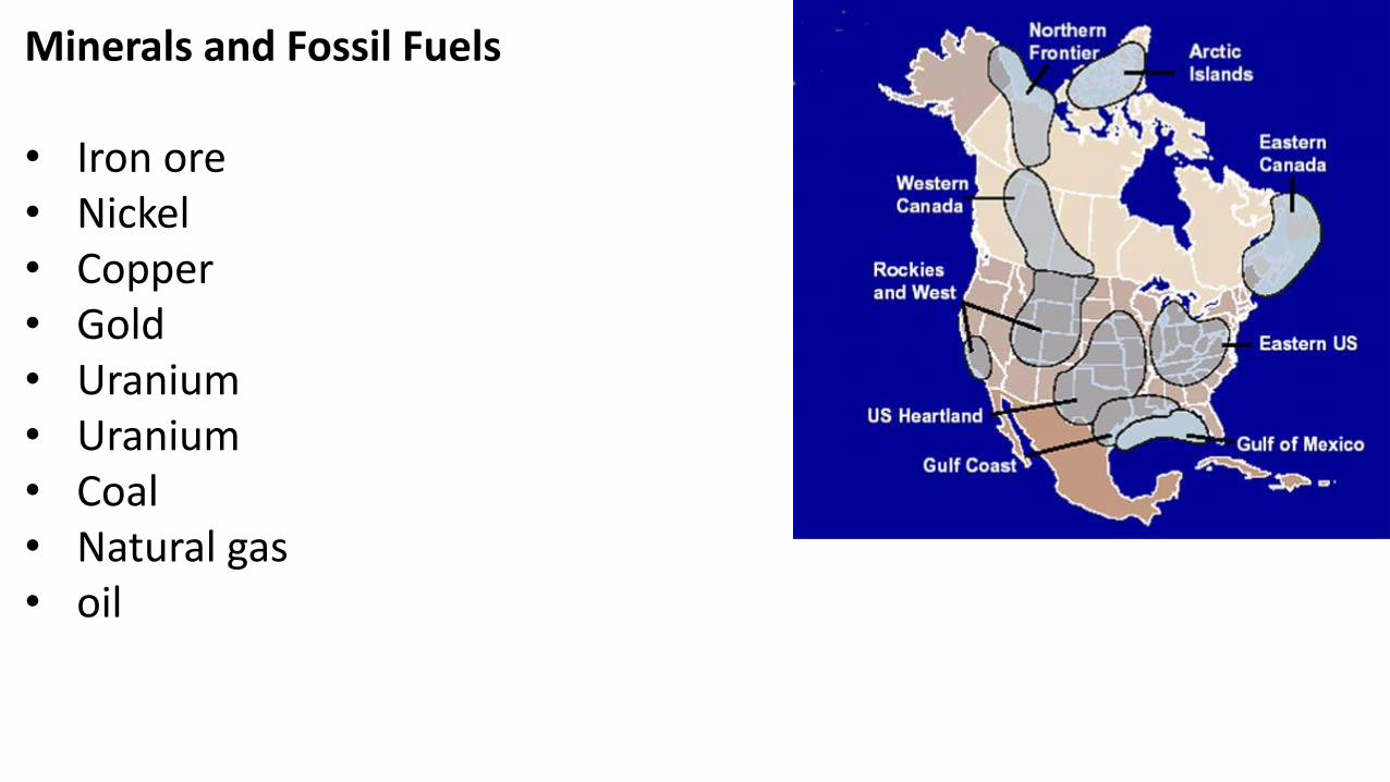
Minerals and Fossil Fuels
• Iron ore• Nickel• Copper• Gold• Uranium• Uranium• Coal• Natural gas• oil
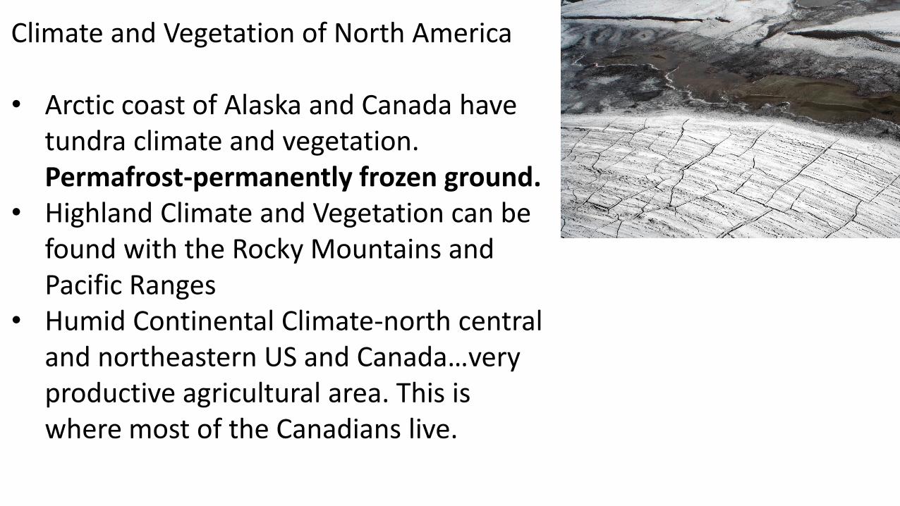
Climate and Vegetation of North America
• Arctic coast of Alaska and Canada have tundra climate and vegetation. Permafrost-permanently frozen ground.
• Highland Climate and Vegetation can be found with the Rocky Mountains and Pacific Ranges
• Humid Continental Climate-north central and northeastern US and Canada…very productive agricultural area. This is where most of the Canadians live.
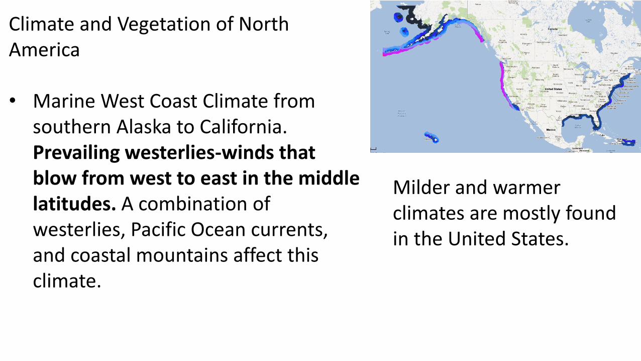
Climate and Vegetation of North America
• Marine West Coast Climate from southern Alaska to California. Prevailing westerlies-winds that blow from west to east in the middle latitudes. A combination of westerlies, Pacific Ocean currents, and coastal mountains affect this climate.
Milder and warmer climates are mostly found in the United States.
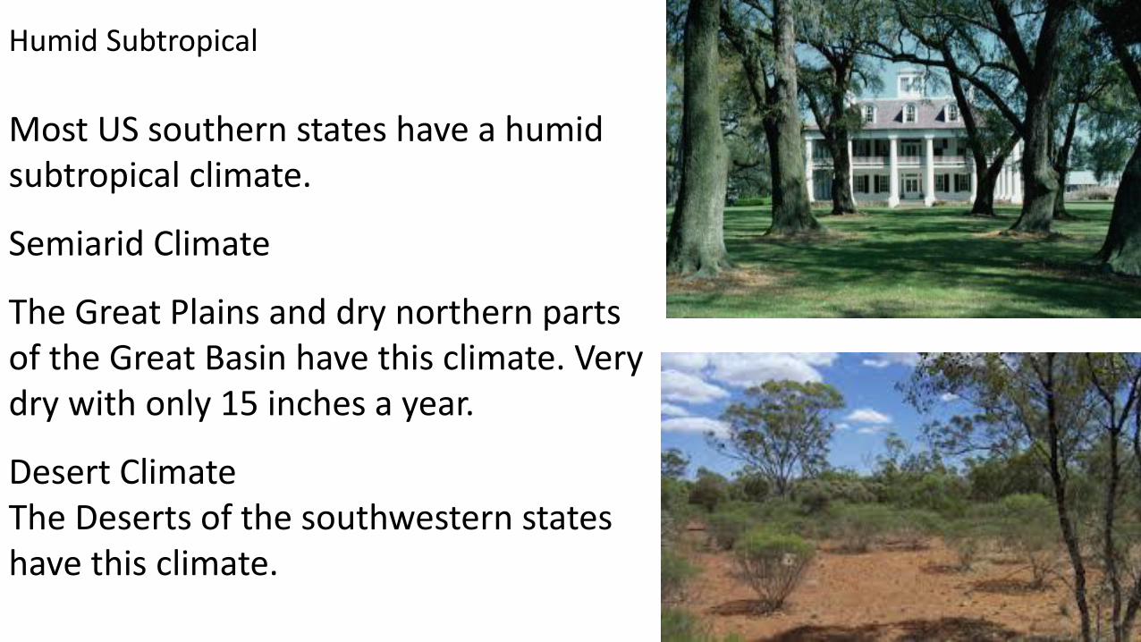
Humid Subtropical
Most US southern states have a humid subtropical climate.
Semiarid Climate
The Great Plains and dry northern parts of the Great Basin have this climate. Very dry with only 15 inches a year.
Desert ClimateThe Deserts of the southwestern states have this climate.
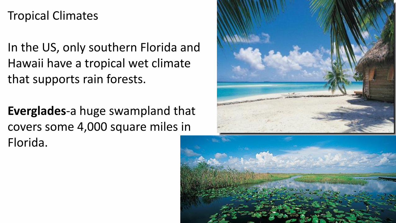
Tropical Climates
In the US, only southern Florida and Hawaii have a tropical wet climate that supports rain forests.
Everglades-a huge swampland that covers some 4,000 square miles in Florida.

Human-Environment Interaction
The first people to come to the U.S. and Canada were nomads-people who move from place to place.
It is believed these first people came via
Beringia-a land bridge that once connected Siberia and Alaska
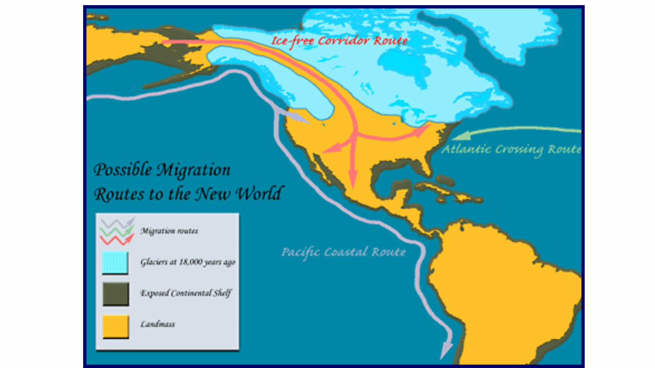
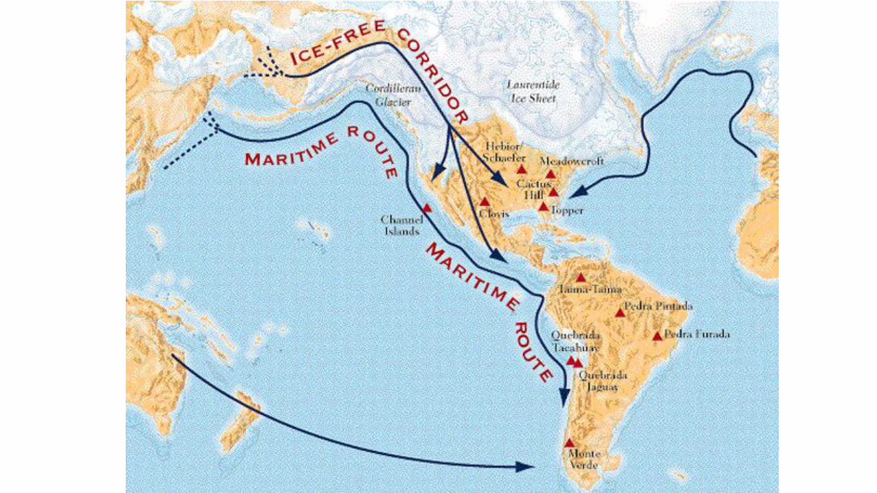
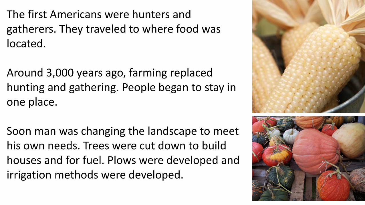
The first Americans were hunters and gatherers. They traveled to where food was located.
Around 3,000 years ago, farming replaced hunting and gathering. People began to stay in one place.
Soon man was changing the landscape to meet his own needs. Trees were cut down to build houses and for fuel. Plows were developed and irrigation methods were developed.
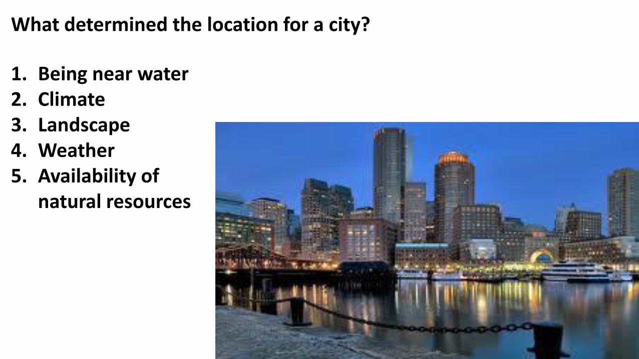
What determined the location for a city?
1. Being near water2. Climate3. Landscape4. Weather5. Availability of
natural resources
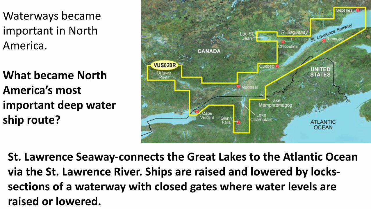
Waterways became important in North America.
What became North America’s most important deep water ship route?
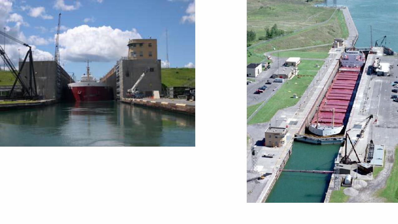
St. Lawrence Seaway-connects the Great Lakes to the Atlantic Ocean via the St. Lawrence River. Ships are raised and lowered by locks-sections of a waterway with closed gates where water levels are raised or lowered.
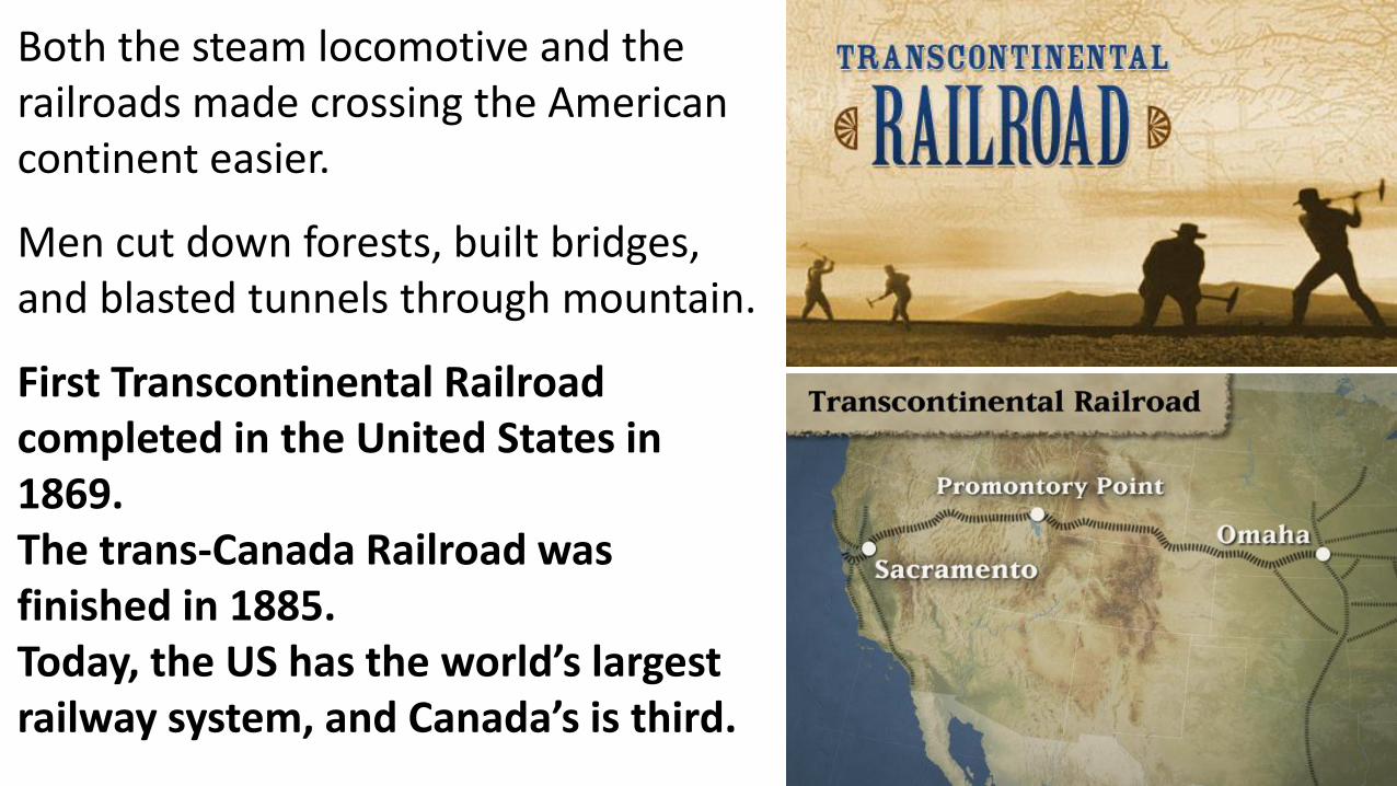
Both the steam locomotive and the railroads made crossing the American continent easier.
Men cut down forests, built bridges, and blasted tunnels through mountain.
First Transcontinental Railroad completed in the United States in 1869.The trans-Canada Railroad was finished in 1885.Today, the US has the world’s largest railway system, and Canada’s is third.
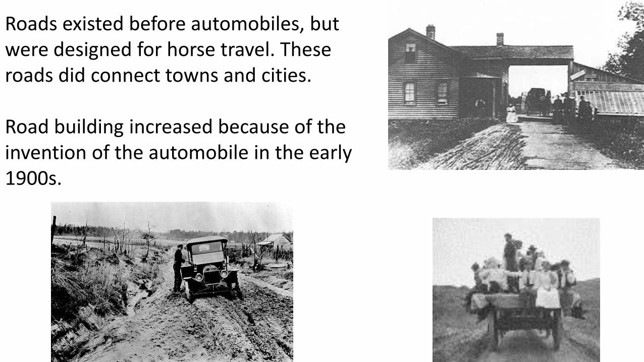
Roads existed before automobiles, but were designed for horse travel. These roads did connect towns and cities.
Road building increased because of the invention of the automobile in the early 1900s.