Precision Irrigation Management: What’s Now and ... - Almond
Upload
andra-millsCategory
view
220download
1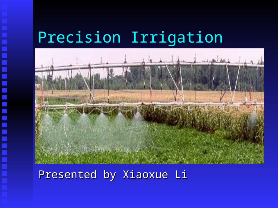
Precision Irrigation
Presented by Xiaoxue LiPresented by Xiaoxue Li

Precision irrigation
DefinitionDefinition Also called site-specific irrigation A tool of precision farming that involves the
delivery of irrigation water in optimum amount over an entire field
New generation of innovative systems to monitor and control soil moisture deficiency and irrigation

Why PI?
Internal reasons Very few fields are uniform, the need for
irrigation may differ between different zones of a particular field
Most currently used irrigation systems apply water at constant rates, therefore some
areas of a field may receive too much water and other areas of a field may not receive enough
water
Why PI
Driving forces Excessive water application could contribute to
surface water runoff or leaching of nutrients and chemicals to groundwater
Precision irrigation systems would have the ability to apply water directly where it is needed, therefore saving water and preventing excessive water runoff and leaching
Systems having potential for PI
Center pivot and and the similar linear-move system have higher potential Provide an outstanding platform on which to
mount sensors for real time monitoring of plant and soil conditions
Interact with a control system for optimal environmental benefits
Systems having potential for PI
Drip irrigation system also offers precision irrigation technology However, drip irrigation represents only a small
share of total irrigation High costs limit this kind of equipment to
mainly higher-value crops like fruits and vegetables
Precision irrigation scheduling
Irrigation scheduling is the heart of precision irrigation, which simply knows where, when to irrigate and how much irrigation water to apply
An effective irrigation schedule helps to maximize profit while minimizing water and energy use
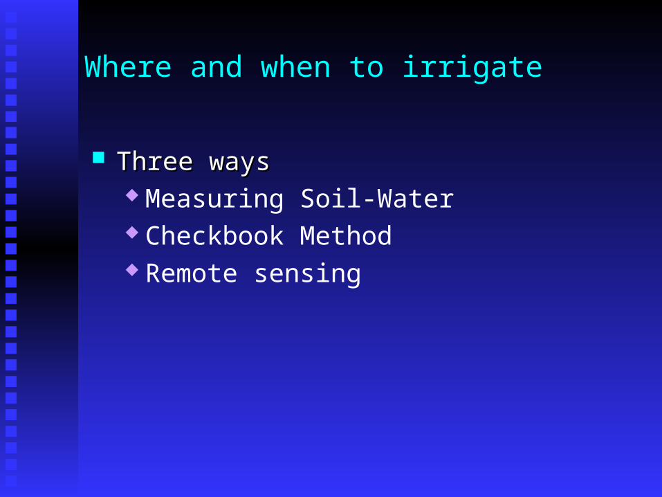
Where and when to irrigate
Three ways Three ways Measuring Soil-Water Checkbook Method Remote sensing
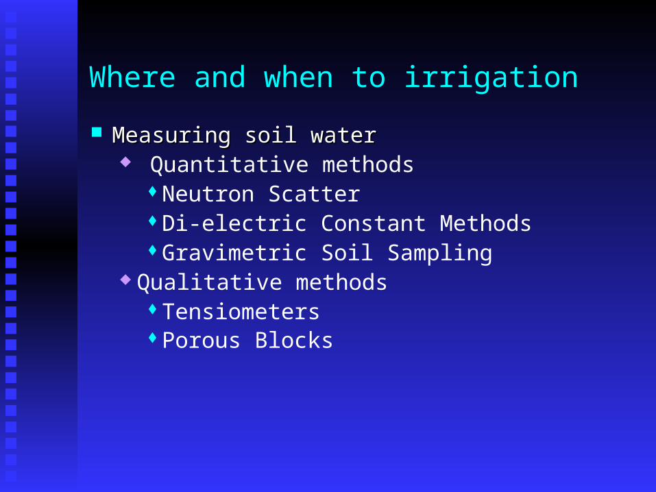
Where and when to irrigation Measuring soil waterMeasuring soil water
Quantitative methods Neutron Scatter Di-electric Constant MethodsGravimetric Soil Sampling
Qualitative methodsTensiometers Porous Blocks
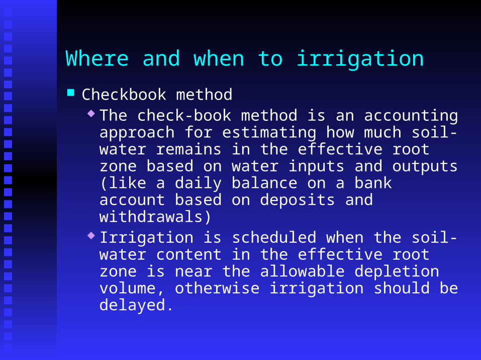
Where and when to irrigation Checkbook method
The check-book method is an accounting approach for estimating how much soil-water remains in the effective root zone based on water inputs and outputs (like a daily balance on a bank account based on deposits and withdrawals)
Irrigation is scheduled when the soil-water content in the effective root zone is near the allowable depletion volume, otherwise irrigation should be delayed.
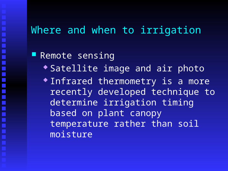
Where and when to irrigation
Remote sensing Satellite image and air photo Infrared thermometry is a more recently
developed technique to determine irrigation timing based on plant canopy temperature rather than soil moisture
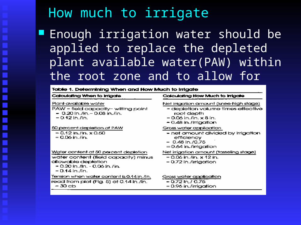
How much to irrigate Enough irrigation water should be applied to
replace the depleted plant available water(PAW) within the root zone and to allow for irrigation inefficiencies
PI application example
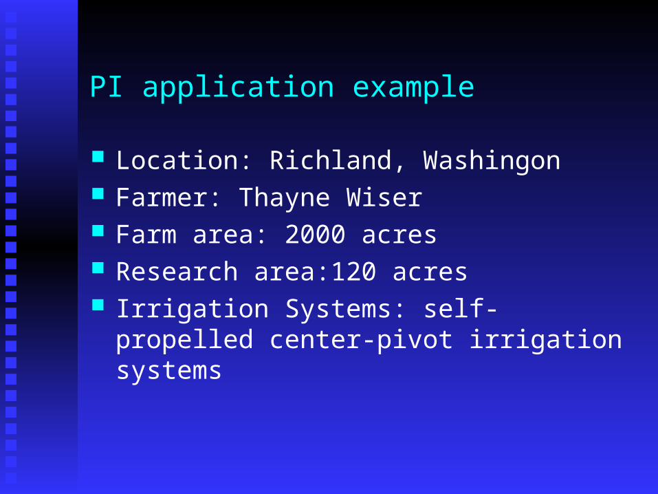
Location: Richland, Washingon Farmer: Thayne Wiser Farm area: 2000 acres Research area:120 acres Irrigation Systems: self-propelled center-pivot
irrigation systems
PI application example
Research team Washington State University USDA-ARS A sprinkler manufacturer
Objectives Characterize soil water spatial variations Develop water-application prescriptions to meet the
often-conflicting needs for discrete areas in the field
Engineer a variable-rate sprinkler system to deliver water in precise amounts based on prescriptions
PI application example
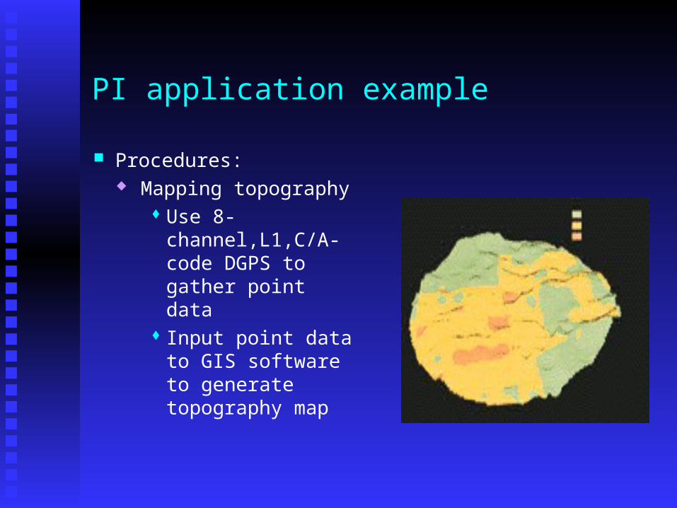
Procedures: Mapping topography
Use 8-channel,L1,C/A-code DGPS to gather point data
Input point data to GIS software to generate topography map
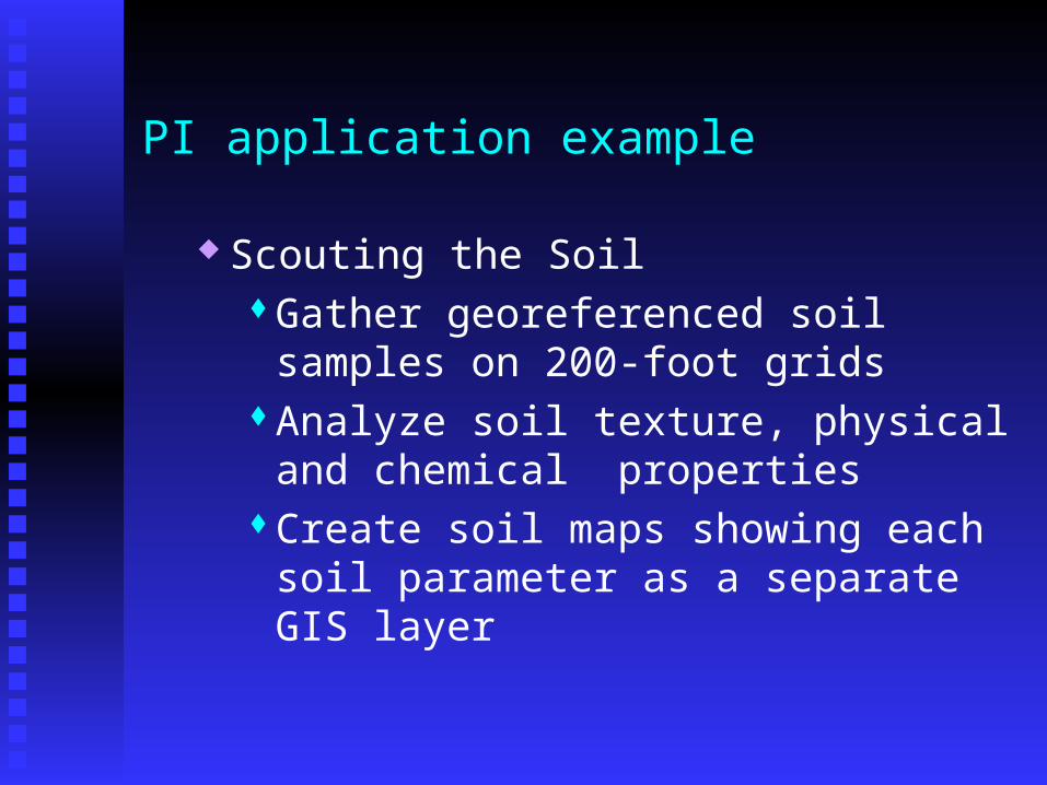
PI application example
Scouting the SoilGather georeferenced soil samples on 200-
foot gridsAnalyze soil texture, physical and chemical
propertiesCreate soil maps showing each soil
parameter as a separate GIS layer

PI application example Prescription Preparation
Determine management zones• 20 per field with the smallest area about one
acre• 100 management zones in 120 acres
Access GIS data layers using computer models, integrate climatic data, irrigation system characterization data, and irrigation scheduling procedures based on current soil-moisture levels
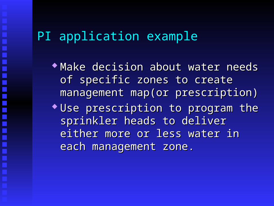
PI application example
Make decision about water needs of specific Make decision about water needs of specific zones to create management map(or zones to create management map(or prescription)prescription)
Use prescription to program the sprinkler heads Use prescription to program the sprinkler heads to deliver either more or less water in each to deliver either more or less water in each management zone.management zone.
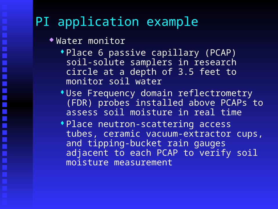
PI application example Water monitor
Place 6 passive capillary (PCAP) soil-solute samplers in research circle at a depth of 3.5 feet to monitor soil water
Use Frequency domain reflectrometry (FDR) probes installed above PCAPs to assess soil moisture in real time
Place neutron-scattering access tubes, ceramic vacuum-extractor cups, and tipping-bucket rain gauges adjacent to each PCAP to verify soil moisture measurement

PI application example
Determine actual water use in each management zone and judge the effectiveness of the precision irrigation applications
Install an automated agricultural weather Install an automated agricultural weather station to collect climatic data every 15 station to collect climatic data every 15 minutesminutes
Connect all the monitoring devices to the Connect all the monitoring devices to the dataloggers dataloggers

PI application example
Water delivery systemDivided the length of the test pivot into 30
zones, having two to four sprinkler heads apiece. Each zone had its own programmable controller
Cycled the sprinklers on and off at selected intervals over a period of time to achieve the prescribed irrigation amount in a management zone
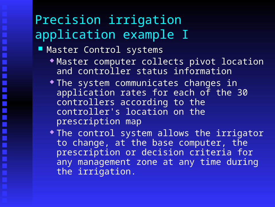
Precision irrigation application example I
Master Control systems Master computer collects pivot location and
controller status information The system communicates changes in
application rates for each of the 30 controllers according to the controller's location on the prescription map
The control system allows the irrigator to change, at the base computer, the prescription or decision criteria for any management zone at any time during the irrigation.
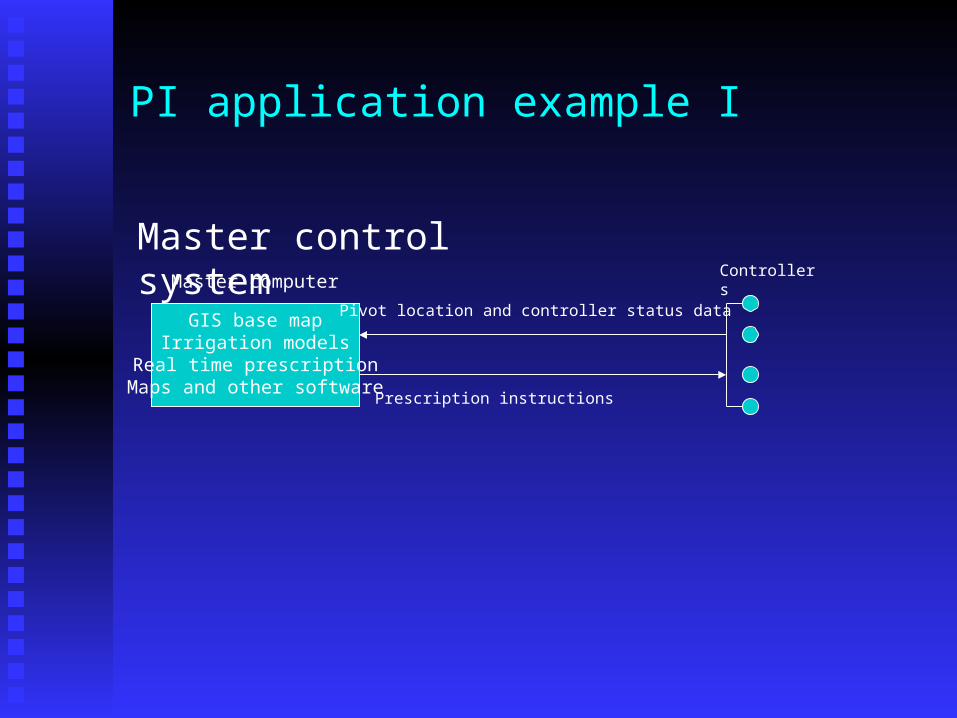
PI application example I
Master control system
GIS base mapIrrigation models
Real time prescriptionMaps and other software
Master computer
Pivot location and controller status data
Prescription instructions
Controllers

Questions ?