Oregon Institute of Technology Dt tfG tiDepartment …...Oregon Institute of Technology Dt tfG...
18
Oregon Institute of Oregon Institute of Technology Technology D t t fG ti D t t fG ti Department of Geomatics Department of Geomatics A GIS Degree That Merges A GIS Degree That Merges GIS with Surveying GIS with Surveying GIS with Surveying GIS with Surveying Presented By Presented By John A. Ritter, Ph.D. Oregon Institute of Technology
Transcript of Oregon Institute of Technology Dt tfG tiDepartment …...Oregon Institute of Technology Dt tfG...

Oregon Institute of Oregon Institute of TechnologyTechnology
D t t f G tiD t t f G tiDepartment of GeomaticsDepartment of Geomatics
A GIS Degree That Merges A GIS Degree That Merges GIS with SurveyingGIS with SurveyingGIS with SurveyingGIS with Surveying
Presented ByPresented ByJohn A. Ritter, Ph.D.
Oregon Institute of Technology

Presentation ObjectivesPresentation ObjectivesPresentation ObjectivesPresentation Objectives
A i i h h O A i i h h O 1.1. Acquaint you with the Oregon Acquaint you with the Oregon Institute of Technology and Institute of Technology and
f ll h h df ll h h dspecifically with the GIS degree specifically with the GIS degree options within the Geomatics options within the Geomatics Department at OITDepartment at OIT
2.2. Discuss the uniqueness of these Discuss the uniqueness of these 2.2. Discuss the uniqueness of these Discuss the uniqueness of these degree offeringsdegree offerings
33 Outline the ‘Next Steps’ intended Outline the ‘Next Steps’ intended 3.3. Outline the Next Steps intended Outline the Next Steps intended for the programfor the program

Timeliness of GIS Degree OptionTimeliness of GIS Degree OptionTimeliness of GIS Degree OptionTimeliness of GIS Degree OptionGIS is one of 127 occupations cited for GIS is one of 127 occupations cited for GIS is one of 127 occupations cited for GIS is one of 127 occupations cited for demonstrated growth potential by the US demonstrated growth potential by the US Department of Labor/Employment and Training Department of Labor/Employment and Training Ad i i t ti (A il 2009)Ad i i t ti (A il 2009)Administration (April, 2009)Administration (April, 2009)
•• GIS emphasis areas of interest:GIS emphasis areas of interest:GIS emphasis areas of interest:GIS emphasis areas of interest:Geospatial database creation/maintenanceGeospatial database creation/maintenanceRemote sensingRemote sensingPrecision agriculturePrecision agricultureggHomeland securityHomeland securityUrban planningUrban planningResource managementResource management
http://www.onetcenter.org/overview.htmlhttp://www.onetcenter.org/overview.html

Timeliness of GIS Degree OptionTimeliness of GIS Degree OptionTimeliness of GIS Degree OptionTimeliness of GIS Degree Option
Th ll l t f Th ll l t f The overall employment of surveyors, The overall employment of surveyors, cartographers, photogrammetrists, and cartographers, photogrammetrists, and surveying and mapping technicians is surveying and mapping technicians is surveying and mapping technicians is surveying and mapping technicians is expected to increase by 21 percent from expected to increase by 21 percent from 2006 to 2016, which is 2006 to 2016, which is much faster than much faster than the averagethe averagethe averagethe averageOccupational Outlook Handbook, 2008Occupational Outlook Handbook, 2008--2009 Edition2009 Edition2009 Edition2009 Edition•• Opportunities will be best for surveyors, Opportunities will be best for surveyors,
cartographers, and photogrammetrists who cartographers, and photogrammetrists who h b h l ’ d d t t h i l h b h l ’ d d t t h i l have a bachelor’s degree and strong technical have a bachelor’s degree and strong technical skills. skills.
http://www.bls.gov/oco/ocos040.htm#emplyhttp://www.bls.gov/oco/ocos040.htm#emplyhttp://www.bls.gov/oco/ocos040.htm#emplyhttp://www.bls.gov/oco/ocos040.htm#emply

About OITAbout OITAbout OITAbout OITOIT is one of 7 Schools in OIT is one of 7 Schools in OIT is one of 7 Schools in OIT is one of 7 Schools in the Oregon University the Oregon University System (OUS).System (OUS).•• Eastern Oregon University Eastern Oregon University •• Eastern Oregon University Eastern Oregon University •• Oregon Institute of Oregon Institute of
TechnologyTechnology•• Oregon State UniversityOregon State University•• Portland State UniversityPortland State University•• Southern Oregon Southern Oregon
UniversityUniversityU i it f OU i it f O•• University of OregonUniversity of Oregon
•• Western Oregon UniversityWestern Oregon University
OIT is located in Klamath OIT is located in Klamath OIT is located in Klamath OIT is located in Klamath Falls, OR; within the Falls, OR; within the Klamath hydrologic basin Klamath hydrologic basin ––an environmentally an environmentally a o a ya o a ysignificant locationsignificant location

About OITAbout OITAbout OITAbout OIT
Student body of approximately 3200Student body of approximately 3200Only public institution of technology Only public institution of technology Only public institution of technology Only public institution of technology in the Pacific Nortwestin the Pacific NortwestA t d t t f lt ti f A t d t t f lt ti f Average student to faculty ratio of Average student to faculty ratio of 15:115:198% graduate placement rate98% graduate placement rate
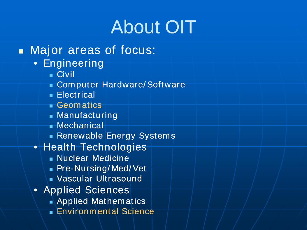
About OITAbout OITAbout OITAbout OITMajor areas of focus:Major areas of focus:•• EngineeringEngineering
CivilCivilComputer Hardware/SoftwareComputer Hardware/SoftwareComputer Hardware/SoftwareComputer Hardware/SoftwareElectricalElectricalGeomaticsGeomaticsManufacturingManufacturingManufacturingManufacturingMechanicalMechanicalRenewable Energy SystemsRenewable Energy Systems
H lth T h l iH lth T h l i•• Health TechnologiesHealth TechnologiesNuclear MedicineNuclear MedicinePrePre--Nursing/Med/VetNursing/Med/Vetg/ /g/ /Vascular UltrasoundVascular Ultrasound
•• Applied SciencesApplied SciencesApplied MathematicsApplied MathematicsApplied MathematicsApplied MathematicsEnvironmental ScienceEnvironmental Science
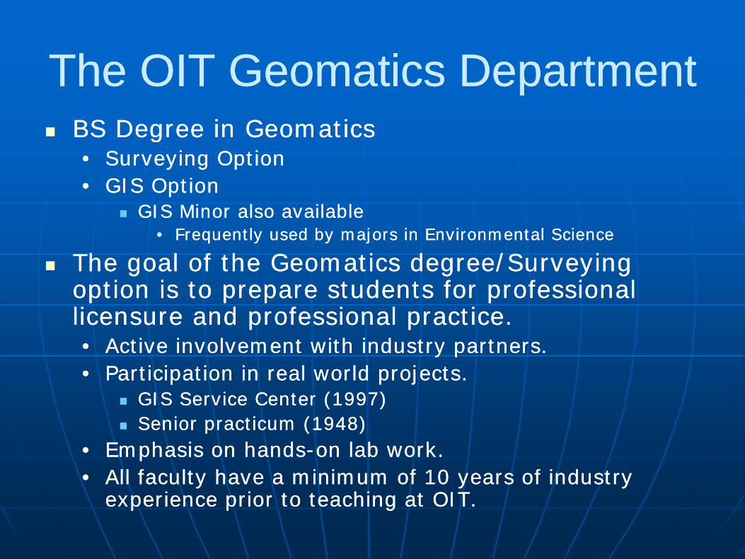
The OIT Geomatics DepartmentThe OIT Geomatics DepartmentThe OIT Geomatics Department The OIT Geomatics Department BS Degree in GeomaticsBS Degree in Geomaticsgg•• Surveying OptionSurveying Option•• GIS OptionGIS Option
GIS Minor also available GIS Minor also available GIS Minor also available GIS Minor also available •• Frequently used by majors in Environmental ScienceFrequently used by majors in Environmental Science
The goal of the Geomatics degree/Surveying The goal of the Geomatics degree/Surveying d f f ld f f loption is to prepare students for professional option is to prepare students for professional
licensure and professional practice.licensure and professional practice.•• Active involvement with industry partnersActive involvement with industry partners•• Active involvement with industry partners.Active involvement with industry partners.•• Participation in real world projects.Participation in real world projects.
GIS Service Center (1997)GIS Service Center (1997)S i ti (1948)S i ti (1948)Senior practicum (1948)Senior practicum (1948)
•• Emphasis on handsEmphasis on hands--on lab work.on lab work.•• All faculty have a minimum of 10 years of industry All faculty have a minimum of 10 years of industry
experience prior to teaching at OIT.experience prior to teaching at OIT.

The OIT Geomatics DepartmentThe OIT Geomatics DepartmentThe OIT Geomatics DepartmentThe OIT Geomatics Department
The OIT Geomatics Department is The OIT Geomatics Department is the only ABET accredited the only ABET accredited yyprofessional surveying degree professional surveying degree program in Oregon and Washingtonprogram in Oregon and Washingtonprogram in Oregon and Washingtonprogram in Oregon and Washington•• 60% of cadastral surveyors for U.S. 60% of cadastral surveyors for U.S.
Bureau of Land Management are Bureau of Land Management are Bureau of Land Management are Bureau of Land Management are graduates of OIT’s surveying programgraduates of OIT’s surveying program

OIT GIS Degree OptionOIT GIS Degree OptionOIT GIS Degree OptionOIT GIS Degree OptionC h b t i / l i C h b t i / l i Courses have been maturing/evolving Courses have been maturing/evolving since 1996; initially part of Environmental since 1996; initially part of Environmental Sciences programSciences programSciences programSciences program
C t f d t G ti C t f d t G ti Courses transferred to Geomatics Courses transferred to Geomatics Department in 2006 to form GIS degree Department in 2006 to form GIS degree optionoptionoptionoption
ESRI Vi t l C l d ESRI Vi t l C l d ESRI Virtual Campus courses employed as ESRI Virtual Campus courses employed as focused segments within coursesfocused segments within courses

OIT GIS Degree OptionOIT GIS Degree OptionOIT GIS Degree OptionOIT GIS Degree Option
Uniqueness of the OIT GIS OptionUniqueness of the OIT GIS Option•• The OIT GIS option provides graduates with a strong The OIT GIS option provides graduates with a strong
fundamental background in surveying fundamental background in surveying fundamental background in surveying fundamental background in surveying technology/methods/theorytechnology/methods/theory
•• Provides a symbiotic relationship between surveying and Provides a symbiotic relationship between surveying and GIS options. GIS options.
•• Integration of surveying and GIS more fully prepares Integration of surveying and GIS more fully prepares students for the expanding discipline students for the expanding discipline

OIT GIS Degree OptionOIT GIS Degree OptionOIT GIS Degree OptionOIT GIS Degree Option
Uniqueness of the OIT GIS OptionUniqueness of the OIT GIS Option•• Course work/examples closely related to Course work/examples closely related to Course work/examples closely related to Course work/examples closely related to
recent, and/or current contract workrecent, and/or current contract workFire District tax assessment mappingFire District tax assessment mappingFire District tax assessment mappingFire District tax assessment mappingRoad Atlas constructionRoad Atlas constructionCity Sewer CAD/GIS conversion and City Sewer CAD/GIS conversion and City Sewer CAD/GIS conversion and City Sewer CAD/GIS conversion and attributionattribution911 applications911 applicationspppp

OIT GIS OptionOIT GIS Option Student ProjectsStudent ProjectsOIT GIS Option OIT GIS Option –– Student ProjectsStudent Projects
OIT is located in close OIT is located in close i it t l i it t l proximity to several proximity to several
local, state, and local, state, and federal agencies federal agencies federal agencies federal agencies desiring GIS productsdesiring GIS products•• This close proximity This close proximity p yp y
and working and working relationship results in relationship results in several opportunities several opportunities several opportunities several opportunities for student GIS for student GIS projectsprojects

OIT GIS OptionOIT GIS Option Student ProjectsStudent ProjectsOIT GIS Option OIT GIS Option –– Student ProjectsStudent Projects
Individual and/or Individual and/or i j t i j t senior projects senior projects
enable students to enable students to delve into complex delve into complex delve into complex delve into complex issues and analysis issues and analysis techniquestechniquesqq

OIT GIS OptionOIT GIS Option Map CompetitionMap CompetitionOIT GIS Option OIT GIS Option –– Map CompetitionMap Competition
First place in ‘Student/Cartography’ division at First place in ‘Student/Cartography’ division at First place in Student/Cartography division at First place in Student/Cartography division at 2009 InterMountain GIS Conference2009 InterMountain GIS Conference

OIT GIS OptionOIT GIS Option Map CompetitionMap CompetitionOIT GIS Option OIT GIS Option –– Map CompetitionMap Competition
First place in ‘Student Division’ at 2009 GIS In First place in ‘Student Division’ at 2009 GIS In First place in Student Division at 2009 GIS In First place in Student Division at 2009 GIS In Action ConferenceAction Conference

The OIT Geomatics DepartmentThe OIT Geomatics DepartmentThe OIT Geomatics DepartmentThe OIT Geomatics Department
‘Next Steps’ for the OIT GIS option‘Next Steps’ for the OIT GIS option•• Intent to offer Master’s degree in GIS, Intent to offer Master’s degree in GIS, Intent to offer Master s degree in GIS, Intent to offer Master s degree in GIS,
beginning in the Fall term of 2010beginning in the Fall term of 2010Eventual ‘tracks’ availableEventual ‘tracks’ availableEventual tracks availableEventual tracks available
•• Quantitative analysisQuantitative analysis•• Database development/Mobile GISDatabase development/Mobile GIS•• Programming/Web ApplicationsProgramming/Web Applications

OIT GIS OptionOIT GIS Option –– Curriculum MapCurriculum MapOIT GIS Option OIT GIS Option Curriculum MapCurriculum MapIntro to GIS
Geog Info Sys Map & Compass/GPS VB Programming
Programming IRaster Analy I Vector Analy I GPS/GIS DataInteg
Vector Analy II
Integ
Mobile GISLinear Algebra
Programming IIMS AccessRaster Analy II
Geodatabases
Photogrammetry
Web Appl
GIS MgmtQuantitative Analy
Web Appl