Midlothian Virginia Topography Map
1
Swi f t Cre ek R es e r v o i r Falling Creek Reservoir Swift Creek Lake Chesterfield County, VA O 0 2 4 1 Miles Created by Chesterfield County GIS Section, January 2011 DISCLAIMER: CHESTERFIELD COUNTY ASSUMES NO LEGAL RESPONSIBILITY FOR THE INFORMATION CONTAINED ON THIS MAP. THIS MAP IS NOT TO BE USED FOR LAND CONVEYANCE. HORIZONTAL DATA IS BASED ON THE VA STATE PLANE COORDINATE SYSTEM, NAD83. TOPOGRAPHIC INFORMATION IS BASED ON 1989 PHOTOGRAMMETRY, NAV29. Topography 1:215,000 Contour Lines
description
Topography map of Midlothian, VA and Chesterfield County Virginia
Transcript of Midlothian Virginia Topography Map
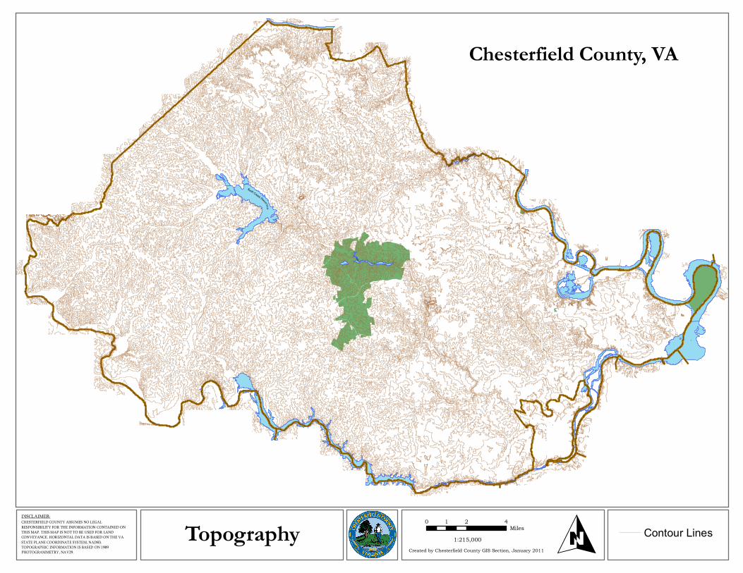
Swift Creek Reservoir
Falling
CreekReservoir
Swift
Creek Lake
Chesterfield County, VA
O0 2 41
Miles
Created by Chesterfield County GIS Section, January 2011
DISCLAIMER: CHESTERFIELD COUNTY ASSUMES NO LEGAL RESPONSIBILITY FOR THE INFORMATION CONTAINED ON THIS MAP. THIS MAP IS NOT TO BE USED FOR LAND CONVEYANCE. HORIZONTAL DATA IS BASED ON THE VA STATE PLANE COORDINATE SYSTEM, NAD83. TOPOGRAPHIC INFORMATION IS BASED ON 1989 PHOTOGRAMMETRY, NAV29.
Topography 1:215,000 Contour Lines


![VIRGINIA CHESS · Dr, Midlothian VA 23113, hshinshaw@verizon.net Tournaments: Mike Atkins, PO Box 6138, Alexandria VA, ... approach to the Benko Gambit!] 12 ...](https://static.fdocuments.us/doc/165x107/5b879d357f8b9a28238d304f/virginia-dr-midlothian-va-23113-hshinshawverizonnet-tournaments-mike-atkins.jpg)