GIS and Spatial Analysis Michael F. Goodchild University of California Santa Barbara.
62
GIS and Spatial Analysis Michael F. Goodchild University of California Santa Barbara
-
date post
22-Dec-2015 -
Category
Documents
-
view
228 -
download
1
Transcript of GIS and Spatial Analysis Michael F. Goodchild University of California Santa Barbara.
GIS and Spatial AnalysisGIS and Spatial Analysis
Michael F. Goodchild
University of California
Santa Barbara
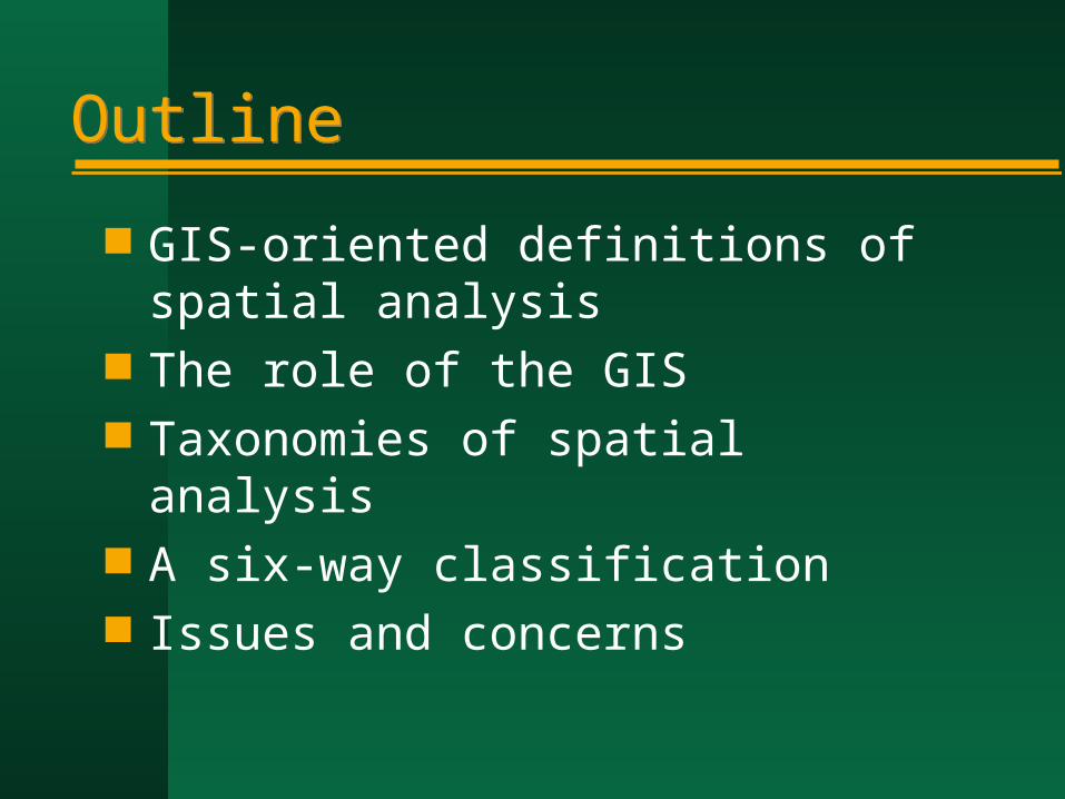
OutlineOutline
GIS-oriented definitions of spatial analysis
The role of the GIS Taxonomies of spatial analysis A six-way classification Issues and concerns
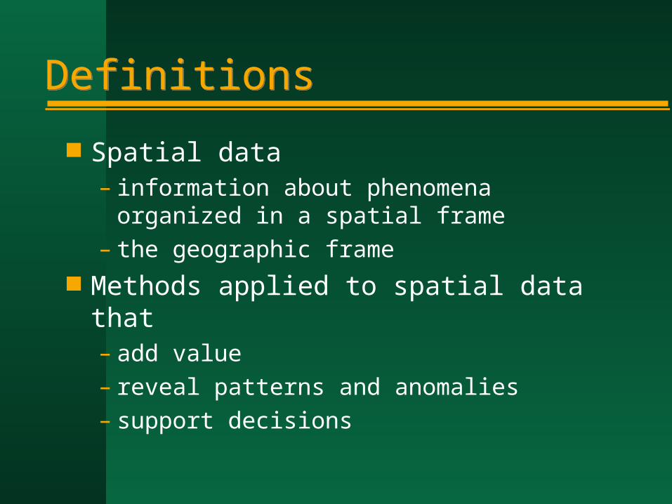
DefinitionsDefinitions
Spatial data– information about phenomena organized in
a spatial frame– the geographic frame
Methods applied to spatial data that– add value– reveal patterns and anomalies– support decisions

Spatial analysisSpatial analysis
Methods whose results depend on the locations of phenomena in the frame– are not invariant under relocation
Some types of relocation may not affect social processes– rotation– relocation– inversion

The geographic frameThe geographic frame
The atomic form <x,z> Location abstracted
– distance matrix– adjacency matrix– invariance under rotation, inversion,
relocation
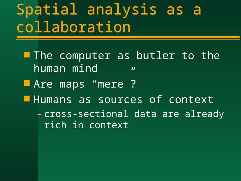
Spatial analysis as a collaborationSpatial analysis as a collaboration
The computer as butler to the human mind
Are maps “mere”? Humans as sources of context
– cross-sectional data are already rich in context

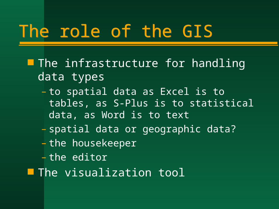
The role of the GISThe role of the GIS
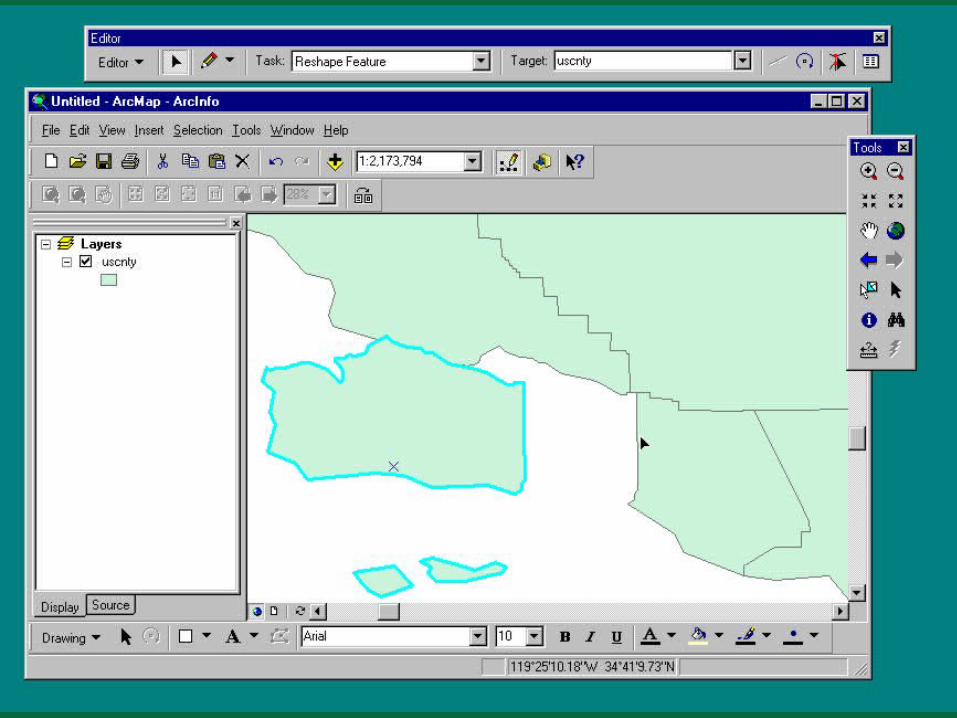
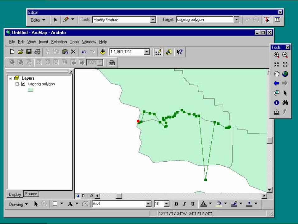
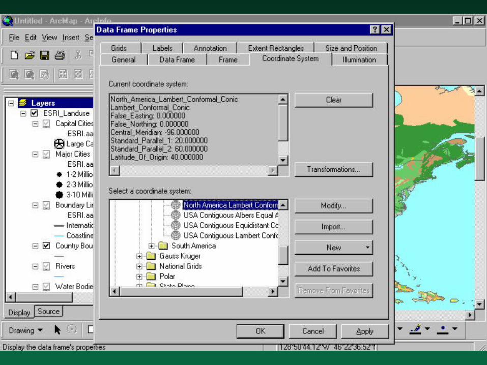
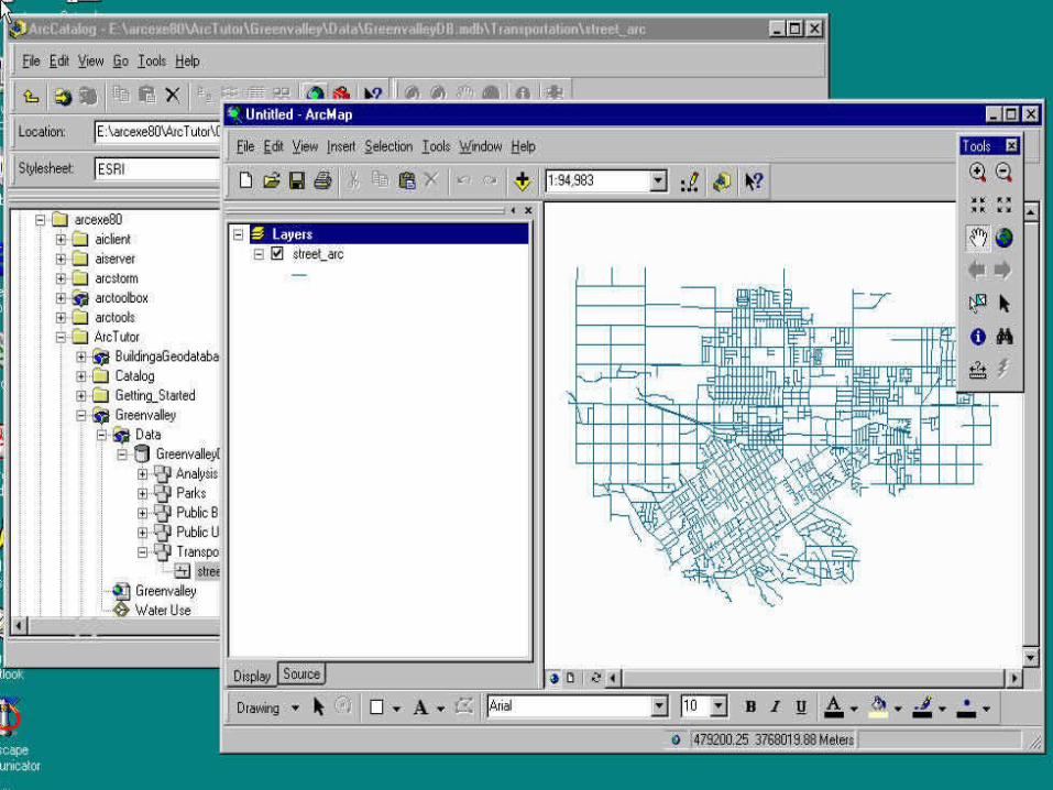
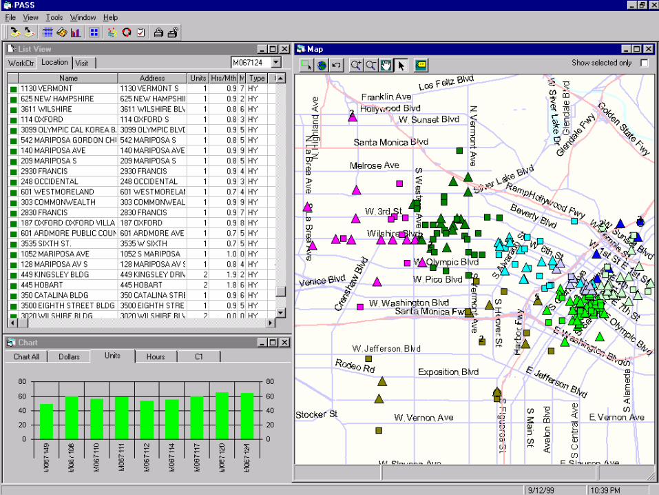
The infrastructure for handling data types– to spatial data as Excel is to tables, as S-
Plus is to statistical data, as Word is to text– spatial data or geographic data?– the housekeeper– the editor
The visualization tool
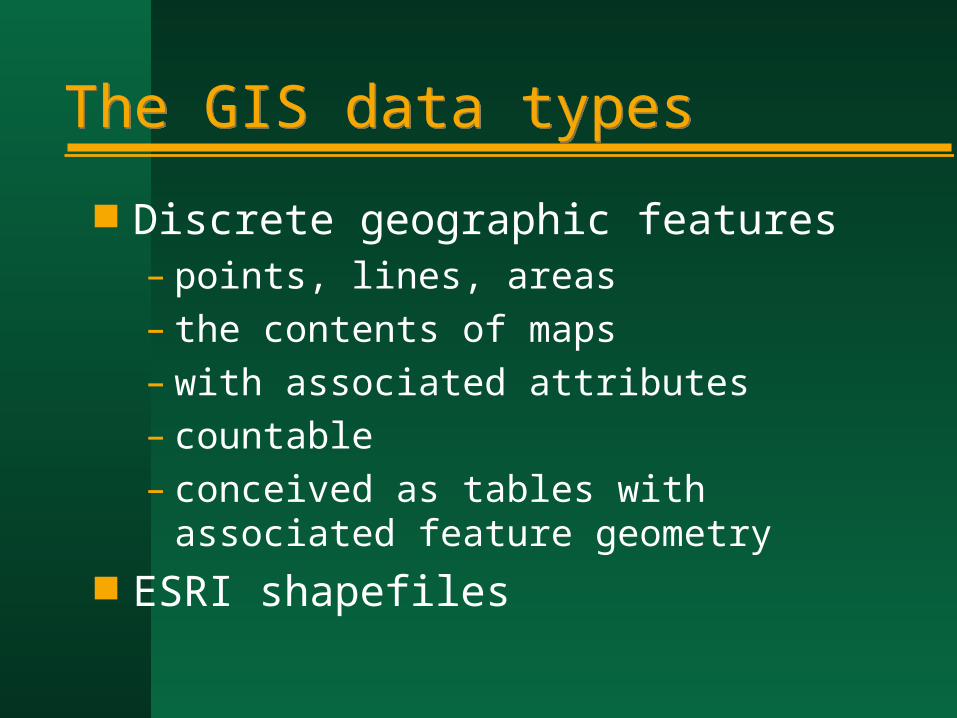
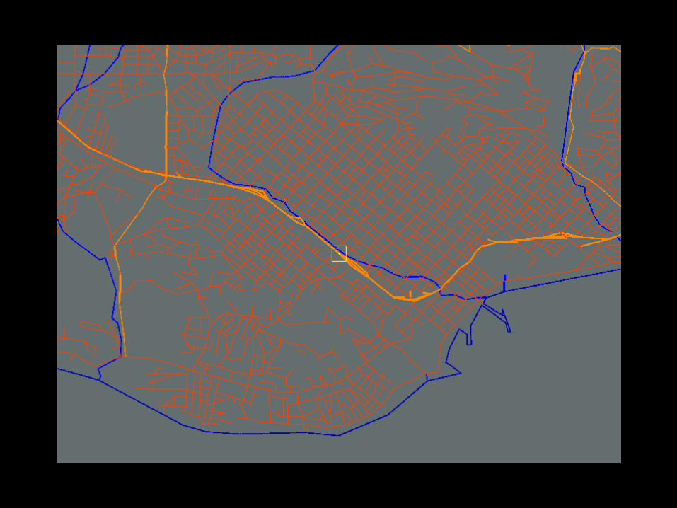
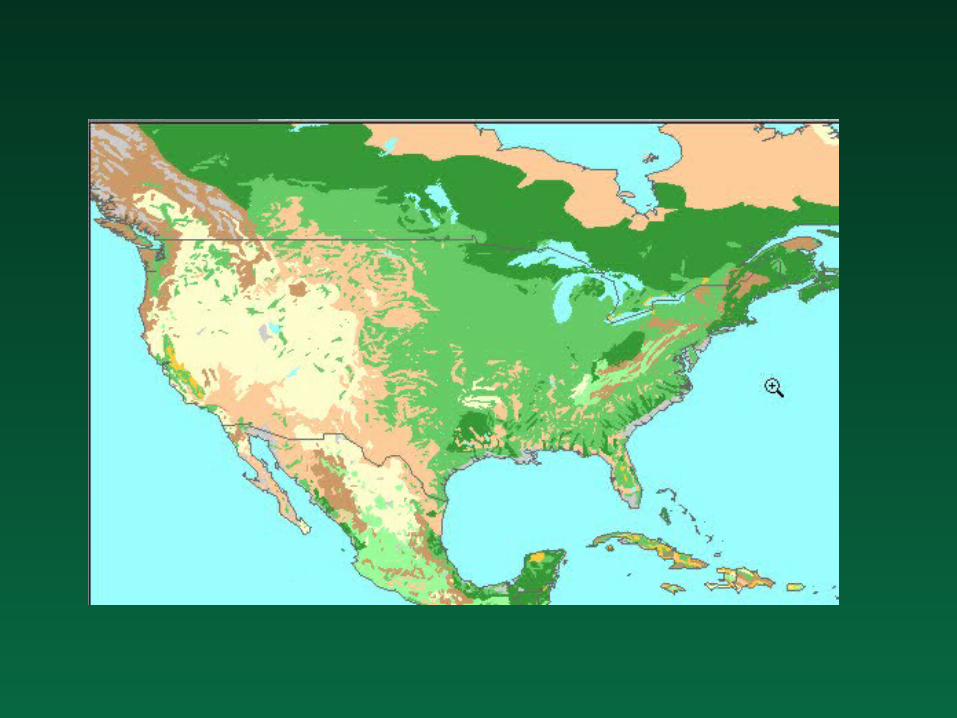
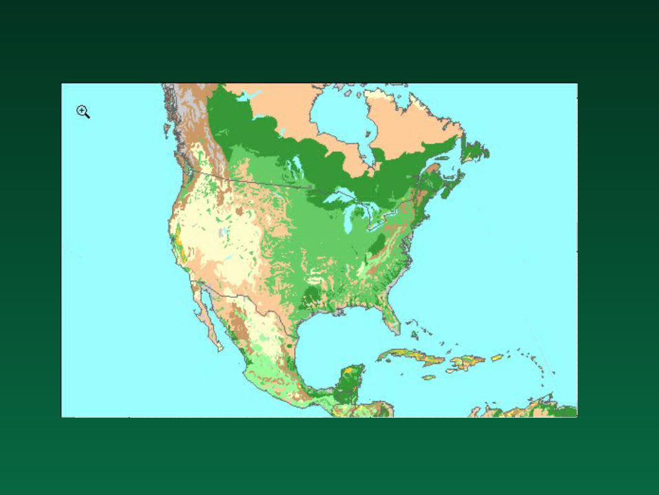
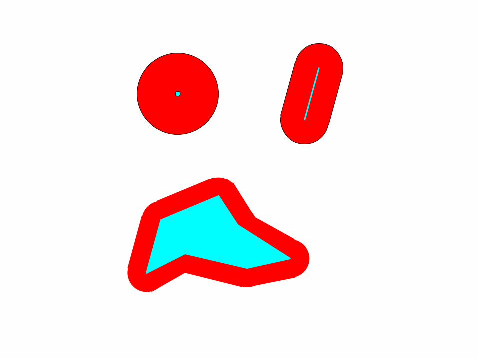
The GIS data typesThe GIS data types
Discrete geographic features– points, lines, areas– the contents of maps– with associated attributes– countable– conceived as tables with associated
feature geometry ESRI shapefiles


FieldsFields
Geography as a collection of continuous variables– measured on nominal, ordinal, interval,
ratio scales– vector fields of direction and magnitude– exactly one value per point– z=f(x)– population density, land ownership, zoning
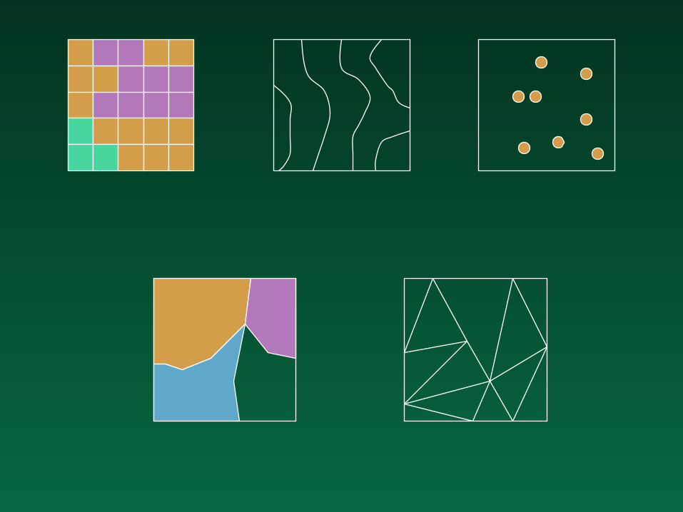
Field representationsField representations
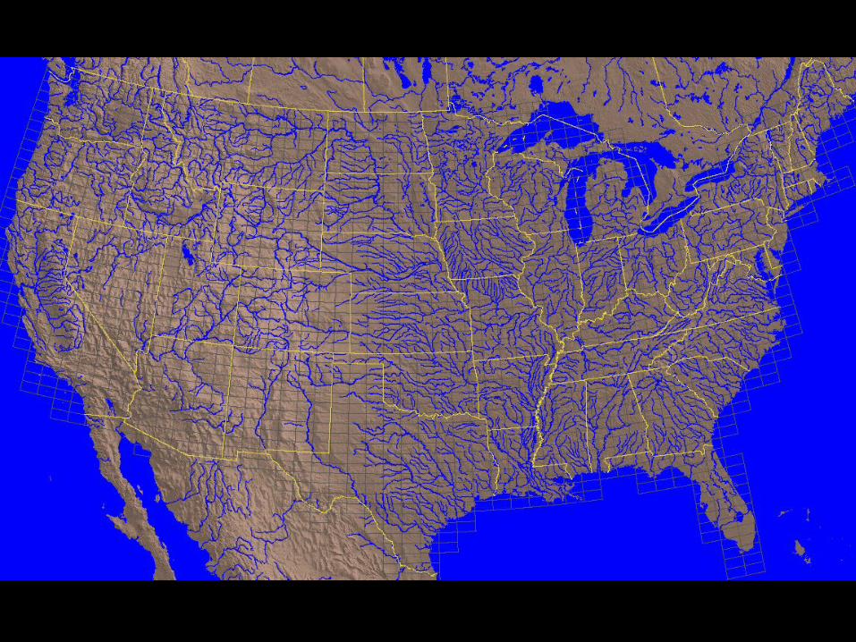
Raster of rectangular cells Raster of uniformly spaced points Irregularly spaced points Irregular areas (polygons) Digitized contours Triangular mesh (triangulated irregular
network or TIN) ESRI coverages
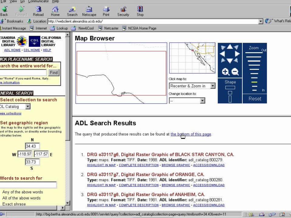
GIS as a data access mechanismGIS as a data access mechanism
The geolibrary– place-based search– integrating information about a place– making access transparent

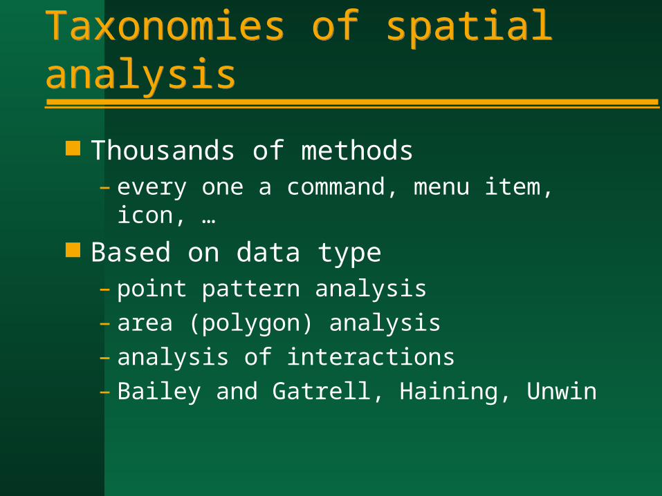
Taxonomies of spatial analysisTaxonomies of spatial analysis
Thousands of methods– every one a command, menu item, icon, …
Based on data type– point pattern analysis– area (polygon) analysis– analysis of interactions– Bailey and Gatrell, Haining, Unwin
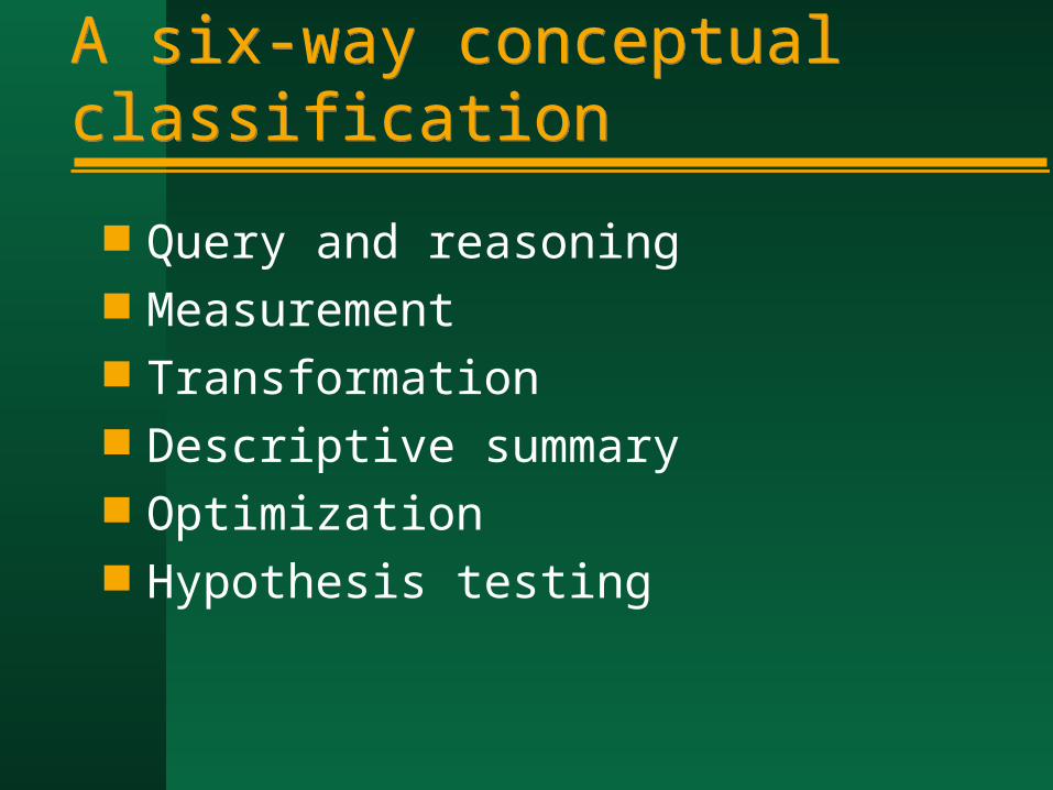
A six-way conceptual classificationA six-way conceptual classification
Query and reasoning Measurement Transformation Descriptive summary Optimization Hypothesis testing
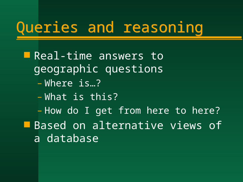
Queries and reasoningQueries and reasoning
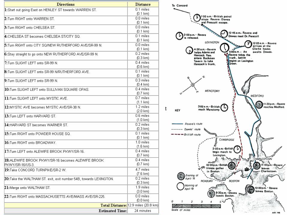
Real-time answers to geographic questions– Where is…?– What is this?– How do I get from here to here?
Based on alternative views of a database

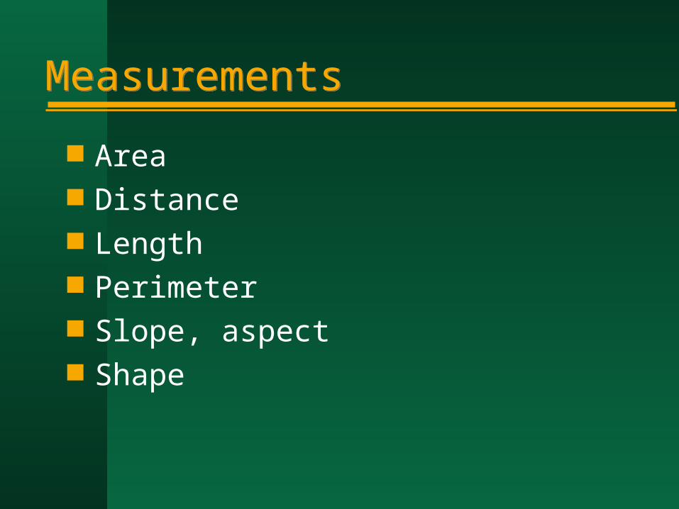
MeasurementsMeasurements
Area Distance Length Perimeter Slope, aspect Shape

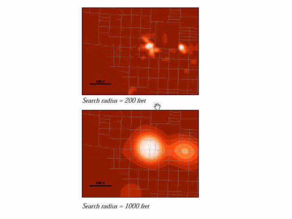
TransformationsTransformations
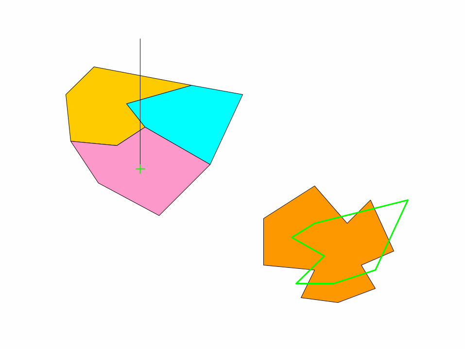
Buffering Points in polygons Polygon overlay Spatial interpolation Density estimation
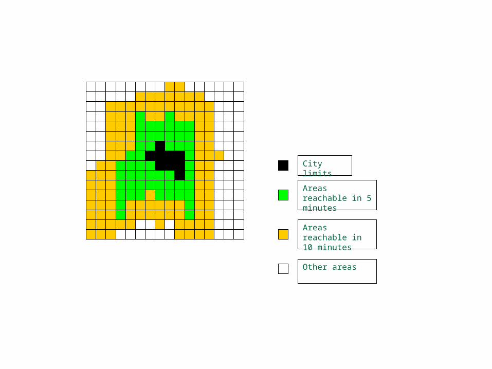
City limits
Areas reachable in 5 minutes
Areas reachable in 10 minutes
Other areas

Courtesy of Dick Block
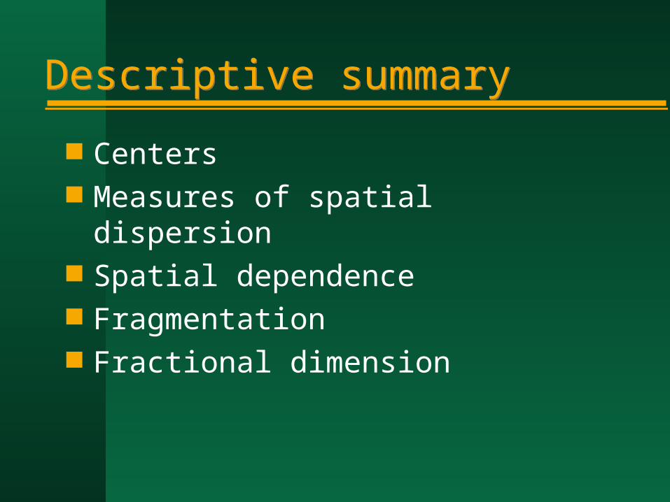
Descriptive summaryDescriptive summary
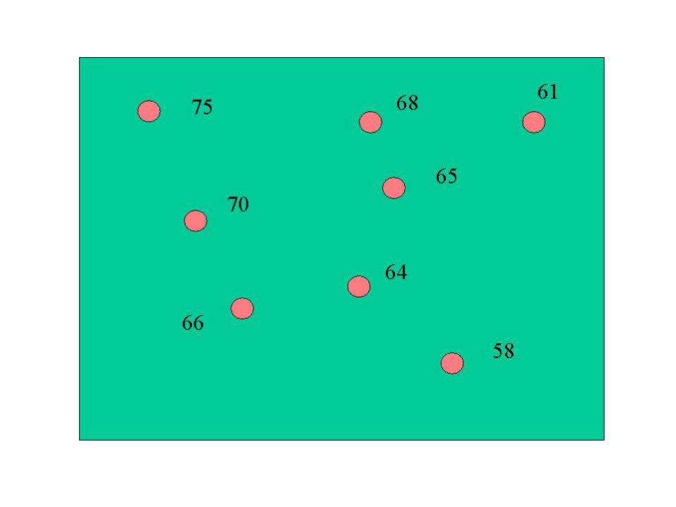
Centers Measures of spatial dispersion Spatial dependence Fragmentation Fractional dimension
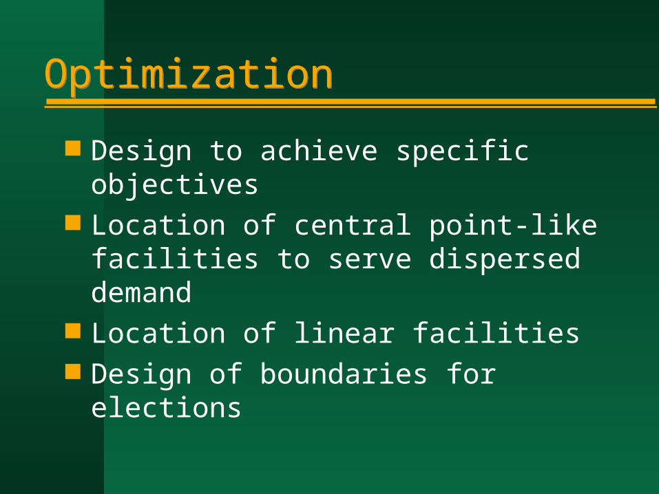
OptimizationOptimization
Design to achieve specific objectives Location of central point-like facilities to
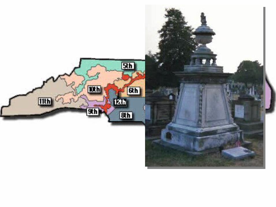
serve dispersed demand Location of linear facilities Design of boundaries for elections

Hypothesis testingHypothesis testing
Geographic objects as a sample from a population– what is the population?
The independence assumption– the First Law of Geography– failure to find spatial dependence is always
a Type II error– hell is a place with no spatial dependence
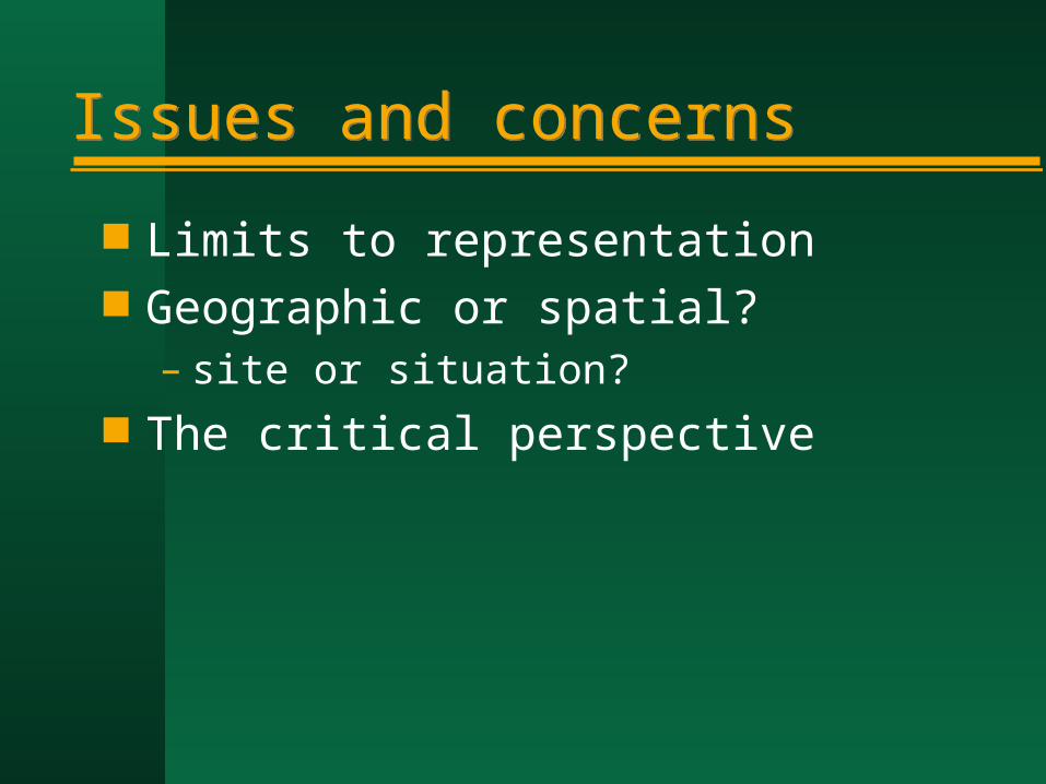
Issues and concernsIssues and concerns
Limits to representation Geographic or spatial?
– site or situation? The critical perspective
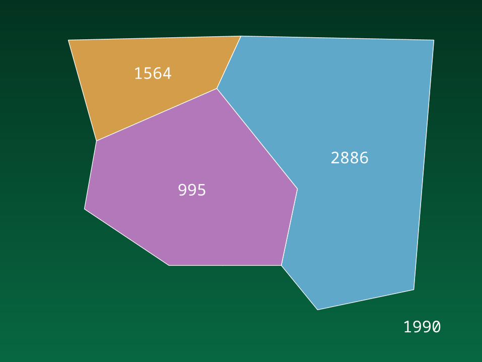
1990
1564
2886
995
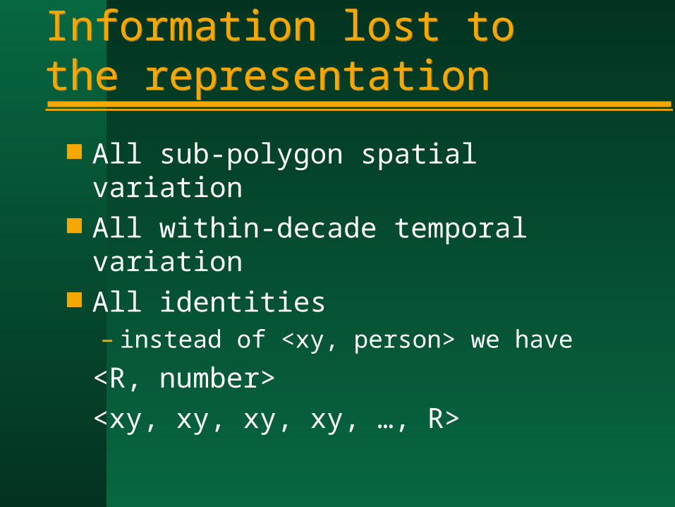
Information lost to the representationInformation lost to the representation
All sub-polygon spatial variation All within-decade temporal variation All identities
– instead of <xy, person> we have
<R, number>
<xy, xy, xy, xy, …, R>
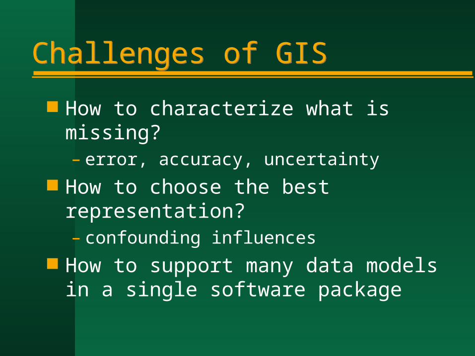
Challenges of GISChallenges of GIS
How to characterize what is missing?– error, accuracy, uncertainty
How to choose the best representation?– confounding influences
How to support many data models in a single software package
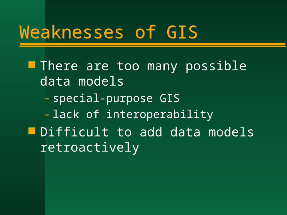
Weaknesses of GISWeaknesses of GIS
There are too many possible data models– special-purpose GIS– lack of interoperability
Difficult to add data models retroactively
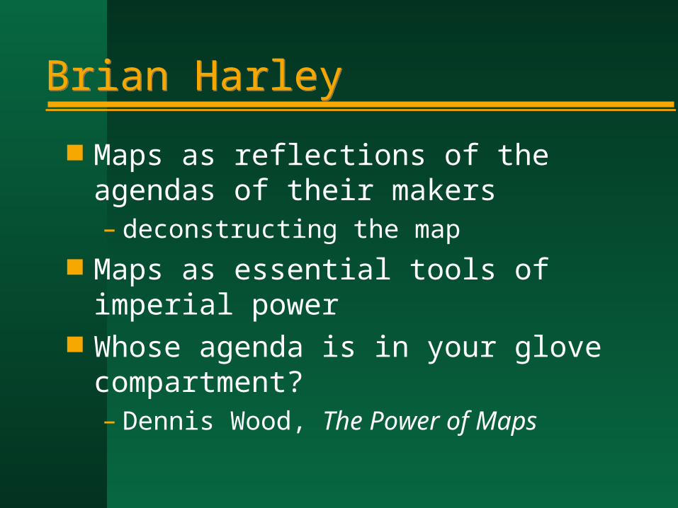
Brian HarleyBrian Harley
Maps as reflections of the agendas of their makers– deconstructing the map
Maps as essential tools of imperial power
Whose agenda is in your glove compartment?– Dennis Wood, The Power of Maps
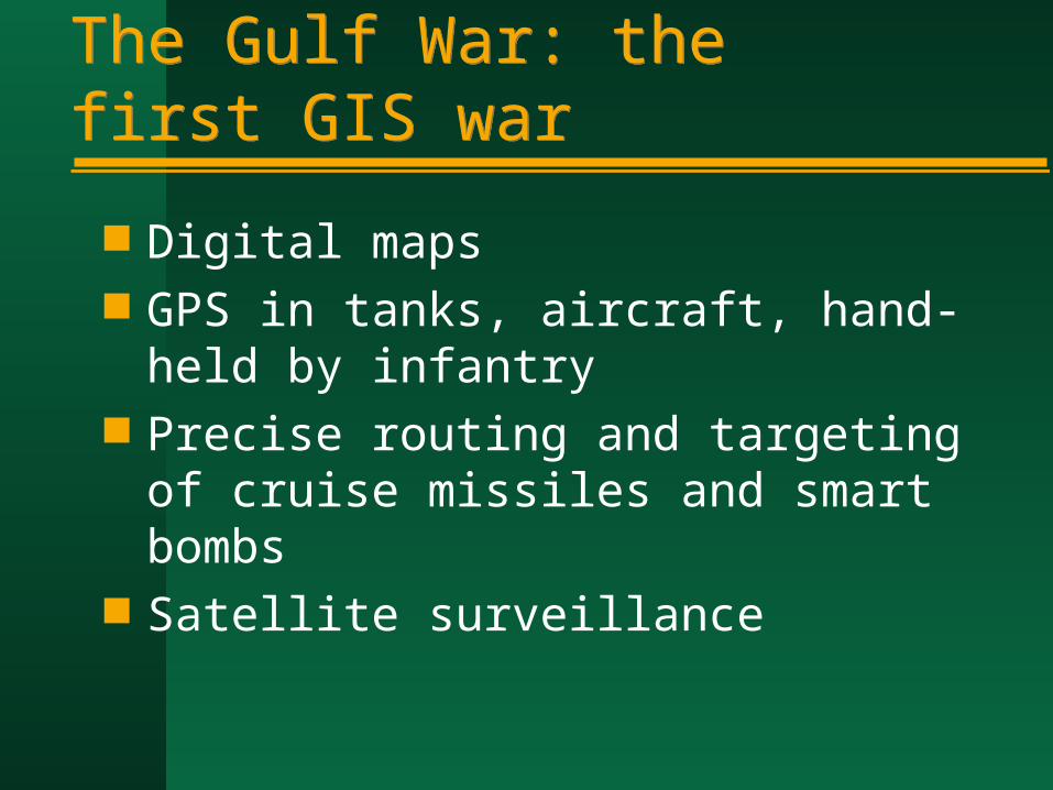
The Gulf War: the first GIS warThe Gulf War: the first GIS war
Digital maps GPS in tanks, aircraft, hand-held by
infantry Precise routing and targeting of cruise
missiles and smart bombs Satellite surveillance
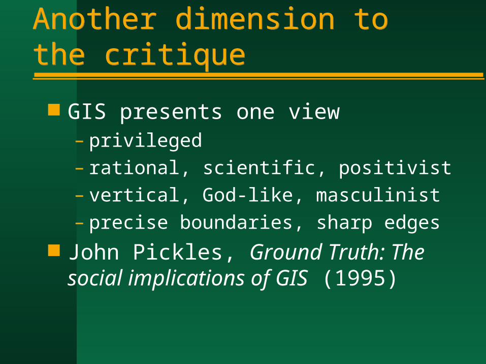
Another dimension to the critiqueAnother dimension to the critique
GIS presents one view– privileged– rational, scientific, positivist– vertical, God-like, masculinist– precise boundaries, sharp edges
John Pickles, Ground Truth: The social implications of GIS (1995)
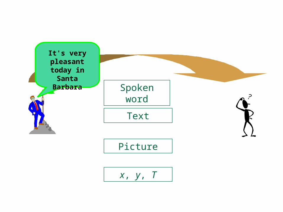
Spoken word
Text
Picture
x, y, T
It's very pleasant
today in Santa Barbara

The GIS-2 agendaThe GIS-2 agenda
A reinvented technology– more humanistic in approach– reflecting multiple views of the world– human complexity and vagueness
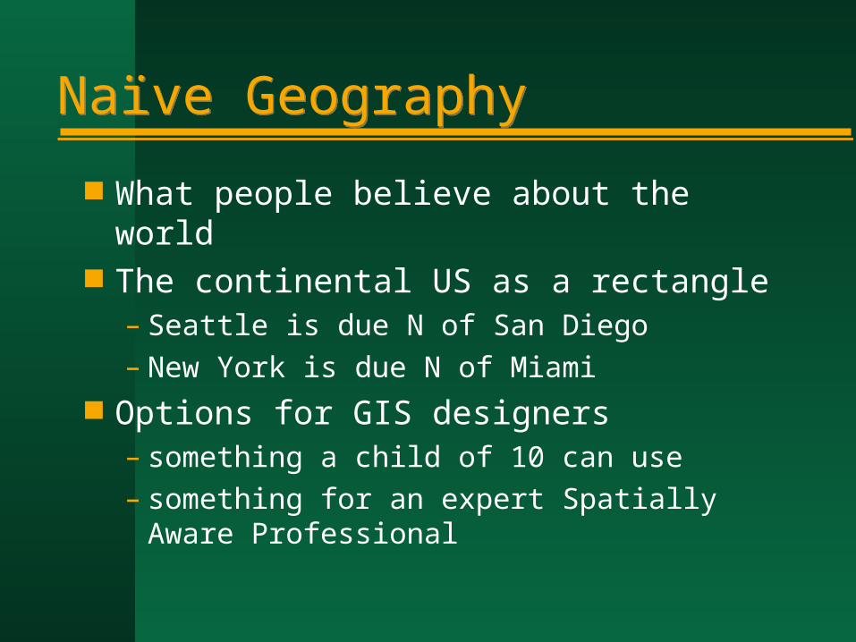
Naïve GeographyNaïve Geography
What people believe about the world The continental US as a rectangle
– Seattle is due N of San Diego– New York is due N of Miami
Options for GIS designers– something a child of 10 can use– something for an expert Spatially Aware
Professional