Conservation Corridor Base and Thematic Maps
23
Conservation Corridor Base and Thematic Maps August 20, 2010 This project is funded in part by the Virginia Coastal Zone Management Program at the Department of Environmental Quality through Grant #NAO9NOS4190163 of the U.S. Department of Commerce, National Oceanic and Atmospheric Administration, under the Coastal Zone Management Act of 1972, as amended.
Transcript of Conservation Corridor Base and Thematic Maps

GREEN INFRASTRUCTURE
Conservation Corridor Base and Thematic
Maps
August 20, 2010
This project is funded in part by the Virginia Coastal Zone Management Program at the Department of Environmental Quality through Grant #NAO9NOS4190163 of the U.S. Department of Commerce, National Oceanic and Atmospheric
Administration, under the Coastal Zone Management Act of 1972, as amended.

GREEN INFRASTRUCTURE
Overview
Recap of Past Meetings
Map Development Method
Base Map
Thematic Maps
Map Review

GREEN INFRASTRUCTURE
Recap May 21, 2010 – Information Session
– Green Infrastructure 101– Conservation Corridor Planning in NoVA

GREEN INFRASTRUCTURE
Conservation Corridor Planningin Northern Virginia
– Refine state analyses using local data and priorities.– Identify & map high value cores and corridors across
the region.– Highlight opportunities for regional connections.– Quantify benefits of these areas.– Develop draft model language for potential
incorporation of GI/CC into local planning efforts.– Develop communication products and strategy for
promoting conservation opportunities to elected officials and the public.

GREEN INFRASTRUCTURE
1) Asset Mapping (what are the existing ecological, cultural and economic assets)
2) Risk Assessment (which of the assets above are at risk)
3) Opportunities (what kind of community do we want? what projects, programs, policies to ensure assets conserved?)
4) Policy Implementation (adoption of asset maps, strategy maps, integrate into comprehensive plans, park plans etc.)
Overview of GI Planning Steps

GREEN INFRASTRUCTURE
Recap July 8, 2010 – First Work Session& Individual Meetings with Jurisdictions
– Crash Course on Green Infrastructure Planning Applications
– Review Draft Base Map (Unprotected Resources)

GREEN INFRASTRUCTURE
Park and open space planning
Identify lands for PDR or TDR programs
Tree canopy surveys and management
Transportation planning: roads and trails
New ordinance development
Species protection
Heritage tourism and viewshed protection
Green Infrastructure Planning Applications
Public
Private
Regulatory Voluntary

GREEN INFRASTRUCTURE

GREEN INFRASTRUCTURE

GREEN INFRASTRUCTURE

GREEN INFRASTRUCTURE

GREEN INFRASTRUCTURE

GREEN INFRASTRUCTURE
BaseGreen Infrastructure
Network

GREEN INFRASTRUCTURE
Length of Streams in
Interior Forest
Ecological Integrity
Variety of Unmodified Wetlands
Depth of Interior
Total Area
Conservation Site B-rank
IndexArea of Wildlife
Action Plan Tier 1
Essential Habitats
Topographic Relief Index
Core Isolation Index
SCU and T&E Waters Index
Image: VA Dept. of Conservation and Recreation
GREEN INFRASTRUCTURE
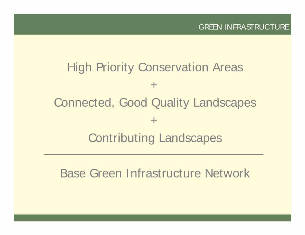
High Priority Conservation Areas+
Connected, Good Quality Landscapes+
Contributing Landscapes
Base Green Infrastructure Network
GREEN INFRASTRUCTURE
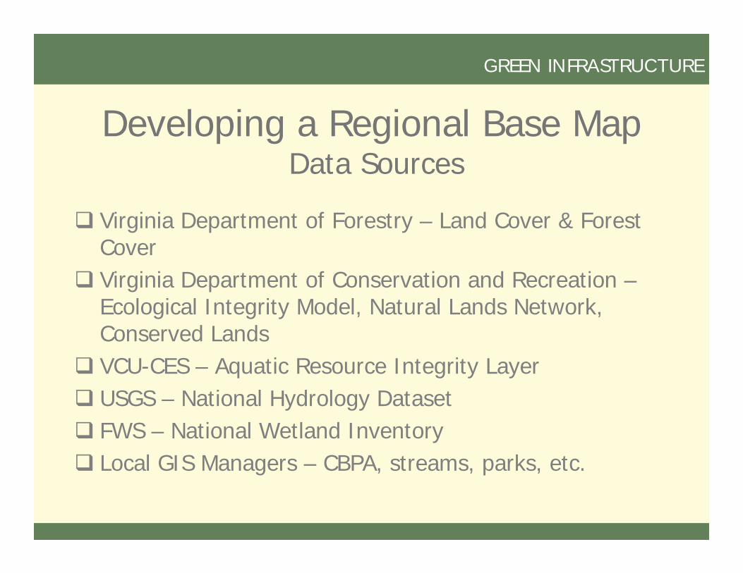
Developing a Regional Base MapData Sources
Virginia Department of Forestry – Land Cover & Forest Cover
Virginia Department of Conservation and Recreation –Ecological Integrity Model, Natural Lands Network, Conserved Lands
VCU-CES – Aquatic Resource Integrity Layer USGS – National Hydrology Dataset FWS – National Wetland Inventory Local GIS Managers – CBPA, streams, parks, etc.

GREEN INFRASTRUCTURE
– Identify and incorporate water resources conservation assets
– Identify and incorporate wildlife habitat conservation assets
– Identify and incorporate other supplementary criteria

GREEN INFRASTRUCTURE

GREEN INFRASTRUCTURE
Where are there opportunities for new or to expand existing nature-based recreation?

GREEN INFRASTRUCTURE
Opportunities to expand buffer along conserved lands?
High value resources currently unprotected?

GREEN INFRASTRUCTURE
Enhancing & Protecting Water Quality
– Streams– Drinking Water
Sources– Wells

GREEN INFRASTRUCTURE
Conserving Our Cultural Heritage
– Historic Sites & Districts
– Battlefields

GREEN INFRASTRUCTURE