A Satellite View
21
Transcript of A Satellite View


A Satellite View

Africa’s Size
# Second largest continent ���� 11,700,000 sq. mi.
# 10% of the world’s population.
# 2 ½ times the size of the U. S.
5000
MILES
4 6 0 0 M I L E S

Bodies
Of
Water
Nile River
Zambezi River
Orange River
Mediterranean Sea
Atlantic Ocean
Pacific Ocean
Indian Ocean
L. Victoria
L. Albert-->
L. Chad-->
L. Tanganyika->

The Mighty Nile River“Longest River in the World”

The Nile River
• Regarded as the “longest river in the world”
• 4,132 miles long
• “International" river as its water resources are shared by eleven countries (Tanzania, Uganda, Rwanda, Burundi, Democratic Republic of the Congo, Kenya, Ethiopia, Eritrea, South Sudan, Sudan and Egypt)

∆ Mt. Kenya
∆ Mt. Kilimanjaro
Mountains
&
Peaks

Mt. KilimanjaroSnow on the Equator?

Mt. Kilimanjaro
• Dormant volcanic mountain
• Tallest mountain in Africa
• Tallest free standing mountain in the World
• 19,341 feet above sea level
• One of the world’s most accessible summits– Most people just walk

Deserts Sahara Desert
Sahel
Libyan Desert
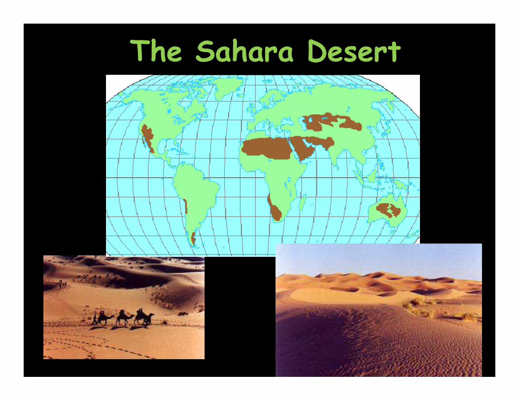
The Sahara Desert


The Sahara Desert
• World’s hottest desert
• World’s 3rd largest desert
• 3,600,000 square miles– Covers most of North Africa
– Almost as large as the USA in size
• Sand dunes can reach up to 560 ft. in height

Valley

Great Rift Valley
• 3,000 miles long
• Divergent tectonic plates
• Splitting African into two
• Increased seismic activity

Seismic Activity in Africa

Africa:
The“Tropical”Continent
Tropic of Cancer 20° N
Tropic of Capricorn20° S
Equator 0°

Vegetation Zones

The African Savannah:13 million sq. mi.

African Rain Forest
# Annual rainfall of up to 17 ft.
# Rapid decomposition (very humid).
# Covers 37 countries.
# 15% of the land surface of Africa.

Natural Resources