Welcome Rob Rash CEO/Chief Engineer St. Francis Levee District of Arkansas.
22
Welcome Rob Rash CEO/Chief Engineer St. Francis Levee District of Arkansas
-
Upload
marybeth-harrell -
Category
Documents
-
view
234 -
download
0
Transcript of Welcome Rob Rash CEO/Chief Engineer St. Francis Levee District of Arkansas.

Welcome
Rob Rash CEO/Chief EngineerSt. Francis Levee District
of Arkansas

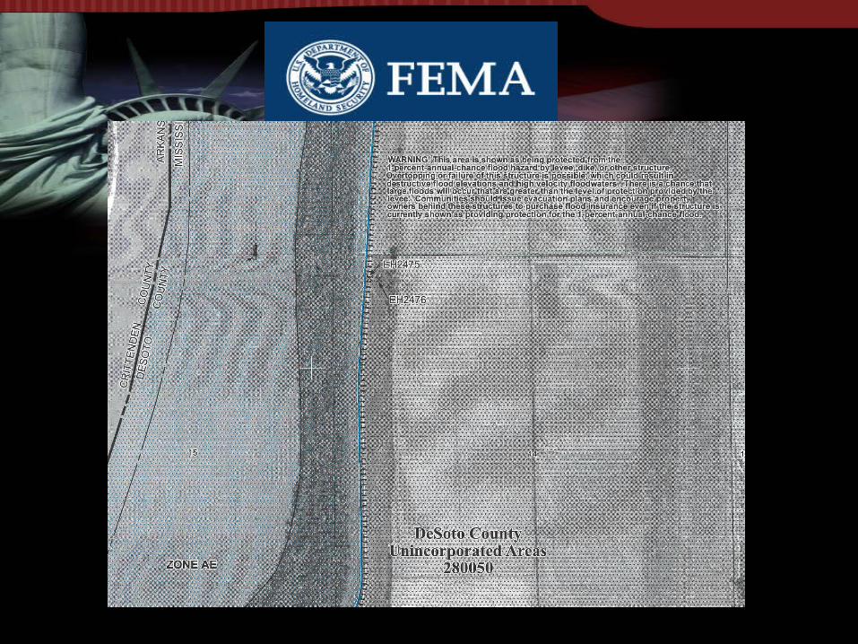

• WARNING! This area is shown as being protected from the 1-percent-annual-chance flood hazard by levee, dike, or other structure. Overtopping or failure of this structure is possible, which could result in destructive flood elevations and high velocity floodwaters. There is a chance that large floods will occur that are greater than the level of protection provided by the levee. Communities should issue evacuation plans and encourage property owners behind these structures to purchase flood insurance even if the structure is currently shown as providing protection for the 1-percent-annual-chance flood.

Mississippi River Basin
• 41% of the Continental United States• Drainage from Colorado (West) and New York (East)• Ohio River contributes 68% and Mississippi River
contributes 32%.

1928 Flood Control Act
• Government became involved– 1928 Flood Control Act
• Authorized Mississippi River & Tributaries Project (MR&T)
• Improved existing Levees• Levee District Sponsored, Operated &
Maintained

1928 Flood Control Act
• “The flood used in the design of this plan is that predicted by the Weather Bureau as the “maximum possible” and by the Mississippi River Commission as the “maximum probable.” The stages predicted by these two bodies were practically the same. When there was a difference the higher stage was used. This resulted in a project flood with stages, if confined, of 66 feet at Cairo. The Weather Bureau obtained its “maximum possible” flood at Cairo by using the maximum Ohio flood with “the Mississippi, Cumberland, and Tennessee Rivers contributing their tides at just the proper time to insure the greatest effect at Cairo, an improbable occurrence it is admitted but nevertheless a remotely possible one.” The predicted stage at Arkansas City, 74 feet, is the result of the above stage at Cairo and the Arkansas and White at their maximum predicted stage. Below the Red the same flood reduced by river channel reservoir capacity and with flow from the Yazoo and Red added gives the project flood, which is taken as 3,000,000 second-feet.”

Changes to 1928 FC Act
• Mississippi River Levees modified after 1937 & 1950 floods
• Current Project Design based on modifications for 1973 flood
• Numerous Flood Control reservoirs have been constructed on the Ohio, Missouri, Cumberland, Tennessee and numerous other Tributaries to the Mississippi River

Pecan Point Seepage Control Project
• Includes Installation of 100 Relief Wells.• Project completed in October 2005.

Lime/Fly-Ash InjectionGoal: Lime/Fly-Ash Slurry fills voids and reacts with Clay
minerals
5’ Center Spacing (Primary & Secondary)10-15’ Deep Injection Depths
Mix – 1 part lime / 3 parts fly-ash 6-8 lbs of mix / gallon water
Primary Injection – 1 lb/ft3
Secondary Injection – 0.5 lb/ft3

Slope Flattening
Procedure Advantages Disadvantages
1. Excavate Existing Material 1. Low Cost 1. Borrow Required
2. Locate Additional Borrow 2. Permanent fix 2. ROW Issues
3. Mix new material with existing 3. Environmental Issues
4. Construct to Stable Slope 4. Potential for Bad Borrow
Failure Surface
Original Slope
Flattened Slope(1V on 4.5 H)
1.5
5’
Excavation Line
1

LANDSIDE
RIVERSIDE
Tree/Woody Growth
BLOCKS EMERGENCY ACCESSUNCONTROLLED PIPING THROUGH
AND ALONG ROOT CAVITIES

Maintenance Items

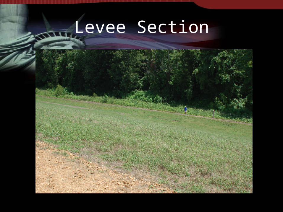
Levee Section

Flood of 1927
Levee Section

Level of ProtectionMississippi River LeveeRiver Mile 734.6-LMP 150
205.0
210.0
215.0
220.0
225.0
230.0
235.0
240.0
245.0
Distance from Toe to Toe
Ele
vati
on
Ft.
-NG
VD
Landside
Riverside
235.0 500 Year Flood234.0 1937 Flood
230.0 1927 and 100 Year Floods
224.0 1973 Flood
242.0 Top of Levee
238.0 Project Design Flood


Level of ProtectionMississippi River LeveeRiver Mile 734.6-LMP 150
205.0
210.0
215.0
220.0
225.0
230.0
235.0
240.0
245.0
100 150 200 250 300 350 400 450 500
Distance from Toe to Toe
Ele
vati
on
Ft.
-NG
VD
Landside
Riverside
231.0 500 Year Flood
230.0 1937 Flood
226.0 1927 and 100 Year Floods
224.0 1973 Flood
242.0 Top of Levee
238.0 Project Design Flood

In Summary
• MR&T Project extends from Cape Girardeau, MO to the Gulf of Mexico
• Protects 35,000 square miles
• 15 Million People
• Authorized in 1928 Flood Control Act
• 15.0 Billion dollars of Federal Investments and untold Billions of dollars in local investments over 150 years

In Summary
• “Recommendation” to purchase flood insurance is taken by the Bankers and Mortgage Lenders as a regulation
• FEMA actions will create an economic disaster for both businesses and individuals
• Negate Billions of dollars spent federally and locally to protect the most productive and fasting growing area in the country