The South Pacific Sea Level and Climate Monitoring Project (SPSLCMP) Developing into the future...
24
The South Pacific Sea Level and Climate Monitoring Project (SPSLCMP) Developing into the future Geoff Crane Australian Tsunami Warning System Development Team Bureau of Meteorology Melbourne/Brisbane
-
Upload
beatrix-bennett -
Category
Documents
-
view
214 -
download
0
Transcript of The South Pacific Sea Level and Climate Monitoring Project (SPSLCMP) Developing into the future...

The South Pacific Sea Level and
Climate Monitoring Project(SPSLCMP)
Developing into the future
Geoff CraneAustralian Tsunami Warning System
Development TeamBureau of Meteorology
Melbourne/Brisbane

Geoff CraneMeteorologistAustralian Bureau of Meteorology
National Manager Tsunami Warning Services – now Ocean Services Section Weather and Ocean Services Branch Australian Bureau of Meteorology
Warning Systems Specialist – ATWS Project 2005-2010Regional Director NSW 2004-2005Deputy Regional Director Qld 1989-2003Head – Brisbane TCWC 1977-1989WMO consultant – established RA V TCC SP 1984-1986

Chair of WG 5 (Warning Systems) (2005-2010)UNESCO IOC ICG/IOTWS IOC Intergovernmental Oceanographic CommissionICG Intergovernmental Coordination GroupIOTWS Indian Ocean Tsunami Warning and Mitigation System
WG 1 SeismologyWG 2 Sea level monitoringWG 3 Risk assessmentWG 4 Tsunami scenario modellingWG 5 Tsunami Warning SystemsWG 6 Outreach – public education and awareness

Australian Government intends to continuethe SPSLCMP - details being discussed.
Phase 4 formally ends 31 December 2010but likely to be extended depending on progress on formulating Phase 5.
Phase 5 is likely to resemble the sea level monitoring and related data/tidal services provided by Phase 4.
SPSLCMP
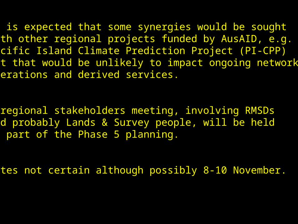
It is expected that some synergies would be sought with other regional projects funded by AusAID, e.g. Pacific Island Climate Prediction Project (PI-CPP) but that would be unlikely to impact ongoing networkoperations and derived services.
A regional stakeholders meeting, involving RMSDs and probably Lands & Survey people, will be held as part of the Phase 5 planning.
Dates not certain although possibly 8-10 November.

The refurbishment of the sea level observing network (12+1 stations) is committed and funded and is progressing. Will be implemented over the next 2 years.
The additional station (Suva) is to be designated as a training site for the project and provide ongoing maintenance skill building in the region in the longer term.
/\ / \ \ / \/

Development of Tsunami Warningsfor Australia and the Indian Ocean
Geoff Crane National Manager Tsunami Warning Services
Australian Bureau of Meteorology Melbourne / Brisbane

Replacement of some sea level monitoring stations and a few additional stations
Installation of real time communications
Further improvement to comms required withinthe next 12 months – change to frequencies
Synergies between the ATWS Projectand the SPSLCMP
Installation of tsunameter network

Sea level monitoring stations – 42 operating, 1 not operating (Port Stanvac, SA)

DEEP OCEAN TSUNAMETERS - 2 in IO, 2 in Coral Sea, 2 in Tasman Sea, 1 demo


TsunametersLeading edge technology. Verysensitive sensors – detect 2cmchange in 5km depth.
Operate in harsh environment.Extraordinary challenge tokeep the network operating.
Provide very good signal of the tsunami but requireexpert interpretation.
They are part of an integratedsystem and augment info fromother sources.
Recent critical report in USpress about unreliability.

XXX
X
X
X
Non-op on14-10-2010
X
Others - allunserviceable


Raleigh waves (seismic)
Positive tsunami arrived maybe a few minutes before
predicted arrival time
0.12 m crest to trough0.06 m amplitude
0523UTC

How to use Tsunameter information
Cannot translate directly to a coastal amplitudeMust compare with model scenario amplitude at the tsunameter site
to determine tsunamigenic efficiencyThen modify model scenario predictions along the coast
Why can’t we simply use Green’s Law to determine coastal amplitude?
Assumes uniform very gentle slope so no reflected energy.
Reflectedenergy
Transmitted energy
5km
1km
Need to consider effects of Continental Shelf.

1 Prior to the earthquake The lower (subducting) plate drags down against the upper (over-riding) plate, causing it to bend down at the toe and to flex upwards further along.
2 The earthquake Increasing stress causes the plate boundary to rupture and the upper plate to rebound to its initial unflexed position, displacing the sea surface both up and down.
3 10 minutes after the earthquakeThe displaced sea surface propagates outward left as a positive tsunami (leading crest) and right as a negative tsunami (leading trough).
+veLeadingcrest
- ve Leadingtrough
from: „Surviving a tsunami“,U.S. Geological Survey, 1999

Sea way out
The IOTMag 9.2Dec 2004

Sea right in
The IOTMag 9.2Dec 2004

Scenario for Macran Trench event Mw 9.0

Scenario for Sumatra Trench event Mw 8.5

The Chile Tsunami27 Feb 2010
Mag 8.8Main focus was
to the NW

Geoff CraneBureau of Meteorology
Melbourne/Brisbane