kissthatfrog-1334938865249-phpapp01-120420112250-phpapp01 (1)
Upload
university-of-delhCategory
view
1.193download
0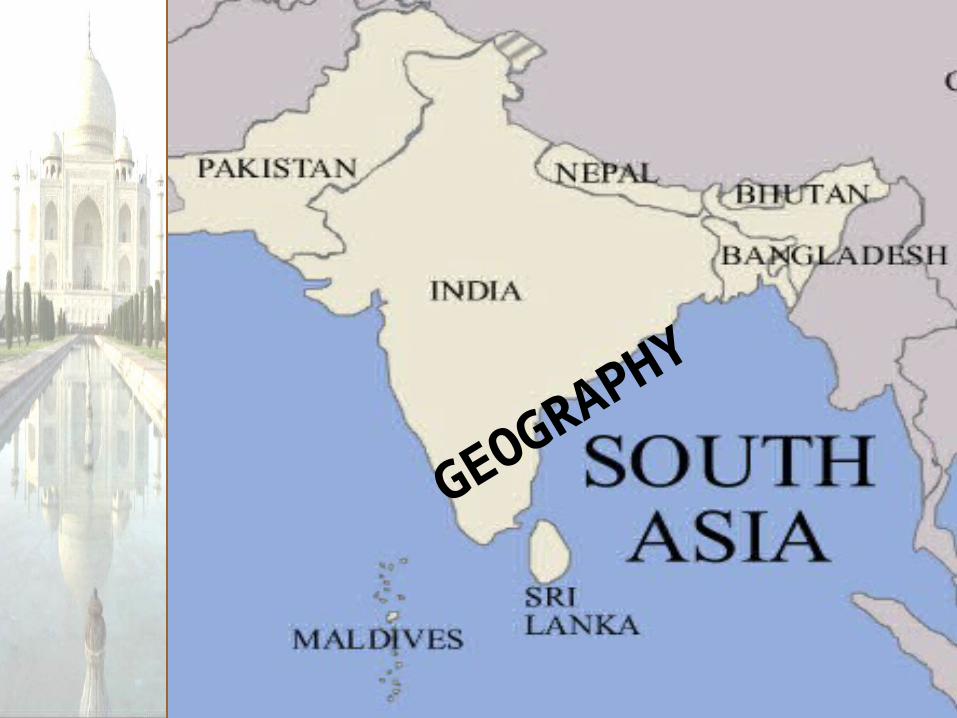
GEOGRAPHY
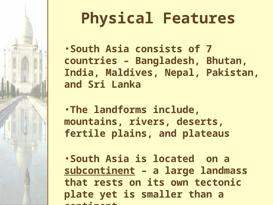
Physical Features
•South Asia consists of 7 countries – Bangladesh, Bhutan, India, Maldives, Nepal, Pakistan, and Sri Lanka
•The landforms include, mountains, rivers, deserts, fertile plains, and plateaus
•South Asia is located on a subcontinent – a large landmass that rests on its own tectonic plate yet is smaller than a continent

Physical Features
•Scientists believe that over 60 million years ago the South Asian subcontinent was a part of Africa
•It broke away, and began to drift north until it “hit” Asia
•When the tectonic plates collided, mountains were formed
•South Asia is divided into three regions: Northern Mountains, Northern Plains, & Southern Region

Physical REgions
Northern Mountains
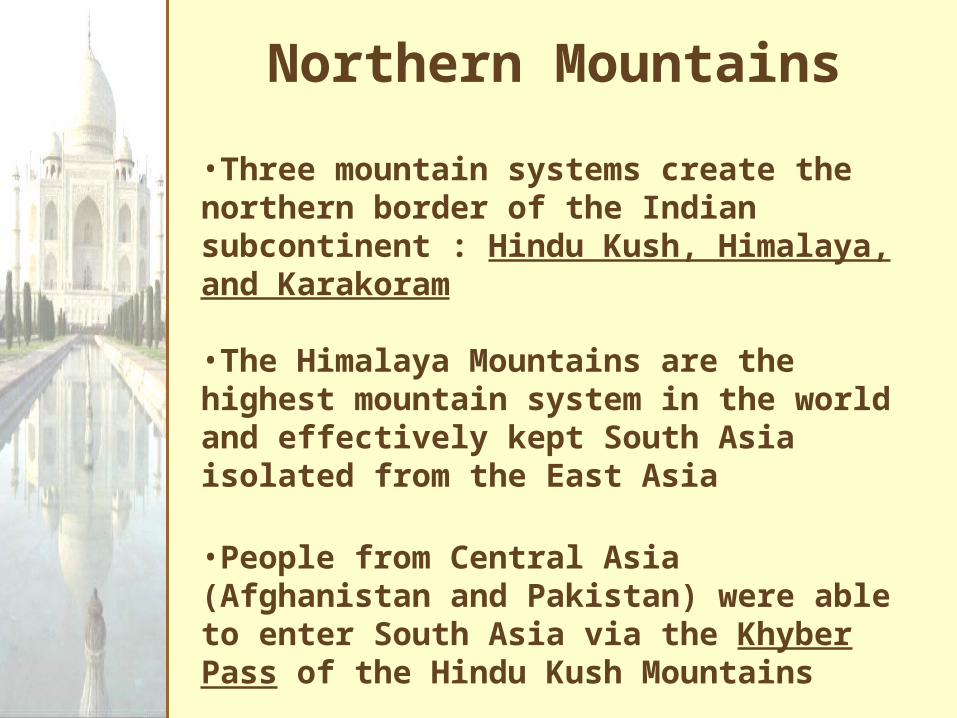
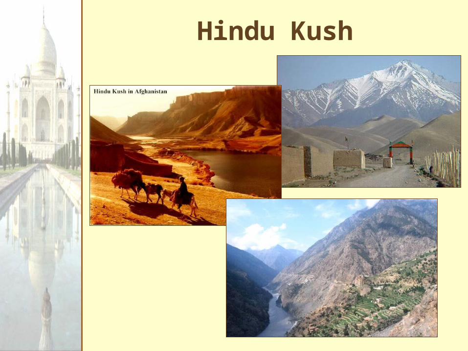
•Three mountain systems create the northern border of the Indian subcontinent : Hindu Kush, Himalaya, and Karakoram
•The Himalaya Mountains are the highest mountain system in the world and effectively kept South Asia isolated from the East Asia
•People from Central Asia (Afghanistan and Pakistan) were able to enter South Asia via the Khyber Pass of the Hindu Kush Mountains

Mt. Everest
Karakoran Mts.
Hindu Kush
Khybe
r
Pass
Northern Mountains
▲
▲
Himalayas
Hindu Kush

The Khyber Pass
Kyber Pass

“him” [snow]
“aalaya” [home]
Mt. Everest is 29,035 feet. It is the highest mt. peak in the world.
The Himalayas

Northern Plain
•Wide fertile plains lie south of the mountains and are fed by three rivers
•The Indus River begins in the Himalayas and flows southwest through Pakistan into the Arabian Sea
•The Ganges River begins in the Himalayas and flows southeast through Bangladesh and eventually connects with the Brahmaputra River
•The Ganges Plain has India’s richest soil and is home to about 40% of India’s population

Indus R
.
Ganges R.
Brahmaputra R.
Arabian Sea
Indian Ocean
Bay ofBengal
Northern Plain Rivers

Southern Region•At the base of the sub-continent are two mountain chains – the Eastern Ghats and the Western Ghats
•Between the mountains is a highland area known as the Deccan Plateau
•The Western Ghats block seasonal rains and area is extremely dry
•South of the Deccan Plateau is the Karnataka Plateau – this area receives seasonal rains and has fertile soil

Deserts / Plateaus
Thar
Desert
DeccanPlateau
TibetanPlateau
Deserts & Plateaus

The Deccan Plateau
31,800 square miles in size.
Elevation range: 2,000 – 8,000 feet high.
From the Sanskrit word, “dakshina” [“the south”].

The Tibetan Plateau
The “Roof of the World.”
average elevation is 16,400 feet.
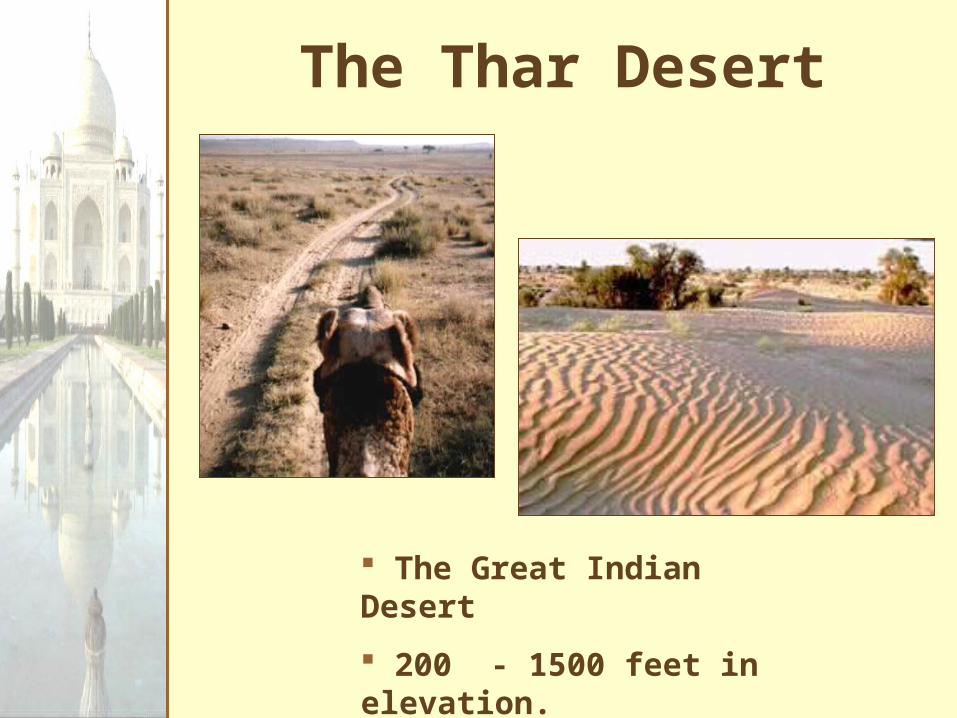
The Thar Desert
The Great Indian Desert
200 - 1500 feet in elevation.
up to 127ºF in July.

Climate•Much of the subcontinent has 3 seasons: dry, wet, and cool – the seasons are influenced by the rainfall•Dry season – the land heats up, ground becomes hard, vegetation shrivels (M, A, M)•Wet season – (monsoon season) southwest wind brings heavy rain (J, J, A)•One of the wettest places on earth is Cherrapunji with 450 in. a year•Cool season – winds reverse blow from the northeast cooling the land down (S – F)

Climate Regions of South Asia