Pacific Region Satellite Ground Stations Satellite Reception & Applications within Pacific Region...
9
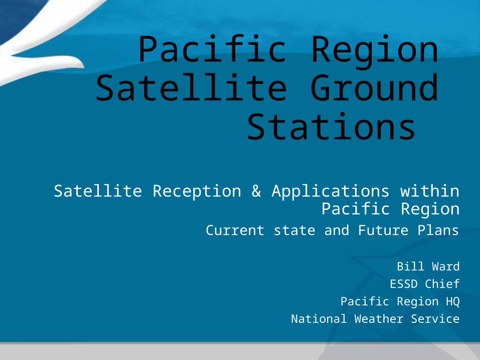
Pacific Region Satellite Ground Stations Satellite Reception & Applications within Pacific Region Current state and Future Plans Bill Ward ESSD Chief Pacific Region HQ National Weather Service
-
Upload
elisabeth-knight -
Category
Documents
-
view
218 -
download
0
Transcript of Pacific Region Satellite Ground Stations Satellite Reception & Applications within Pacific Region...
Pacific Region Satellite Ground
Stations
Satellite Reception & Applications within Pacific RegionCurrent state and Future Plans
Bill WardESSD Chief
Pacific Region HQNational Weather Service
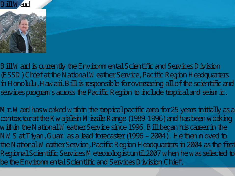
Bill Ward
Bill Ward is currently the Environmental Scientific and Services Division (ESSD) Chief at the National Weather Service, Pacific Region Headquarters in Honolulu, Hawaii. Bill is responsible for overseeing all of the scientific and services programs across the Pacific Region to include tropical and seismic. Mr. Ward has worked within the tropical pacific area for 25 years initially as a contractor at the Kwajalein Missile Range (1989-1996) and has been working within the National Weather Service since 1996. Bill began his career in the NWS at Tiyan, Guam as a lead forecaster (1996 – 2004). He then moved to the National Weather Service, Pacific Region Headquarters in 2004 as the first Regional Scientific Services Meteorologist until 2007 when he was selected to be the Environmental Scientific and Services Division Chief.
3
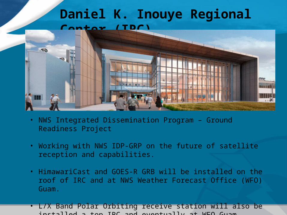
Daniel K. Inouye Regional Center (IRC)
• NWS Integrated Dissemination Program – Ground Readiness Project
• Working with NWS IDP-GRP on the future of satellite reception and capabilities.
• HimawariCast and GOES-R GRB will be installed on the roof of IRC and at NWS Weather Forecast Office (WFO) Guam.
• L/X Band Polar Orbiting receive station will also be installed a top IRC and eventually at WFO Guam.

Pacific Region NWS
4

Satellite Farm at Pacific Tsunami Warning Center(PTWC)
5
HRPT
MTSATGOES SPARE NOAAPORT SBN
EMWINIRIS VSAT
OPSnet VSAT
NWWS
Satellite Dish - DiameterNOAA Weather Wire Service – 14 feetOPSnet VSAT – 4 feetEMWIN – 5 feetMTSAT/SPARE – 15 feetGOES – 12 feetIRIS VSAT – 15 feetNOAAPORT SBN – 24 feetHRPT – Polar Tracking – 5 feet in Radome

Honolulu Community College
6
Orbital Systems 2.4 meter X/L band Polar Tracking
Suomi NPP VIIRSAqua TerraNOAA POESMETOPFeng Yun
7
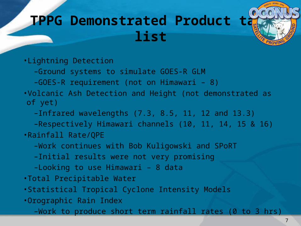
•Lightning Detection –Ground systems to simulate GOES-R GLM–GOES-R requirement (not on Himawari – 8)
•Volcanic Ash Detection and Height (not demonstrated as of yet)–Infrared wavelengths (7.3, 8.5, 11, 12 and 13.3)–Respectively Himawari channels (10, 11, 14, 15 & 16)
•Rainfall Rate/QPE–Work continues with Bob Kuligowski and SPoRT–Initial results were not very promising–Looking to use Himawari – 8 data
•Total Precipitable Water•Statistical Tropical Cyclone Intensity Models•Orographic Rain Index
–Work to produce short term rainfall rates (0 to 3 hrs)
TPPG Demonstrated Product task list

8
•Tropical Pacific Proving Ground•Visiting Science Program•Aimed at forecasters within the PR WFOs•Presenters are SMEs on proposed and accepted VSP projects
–Can be GOES-R or JPSS data sets–Himawari – 8
TPPG VSP Program