DC GIS Steering Committee - DC Department of Motor Vehicles · When calling in, right click on list...
48
DC GIS Steering Committee February 12, 2015 10:00 AM – 12:00 PM 200 I Street SE, 5 th Floor Washington, DC 20003 Conference Room: 5009 Please Enter your: name – agency When calling in, right click on list to change
Transcript of DC GIS Steering Committee - DC Department of Motor Vehicles · When calling in, right click on list...

DC GIS Steering Committee
February 12, 2015
10:00 AM – 12:00 PM200 I Street SE, 5th FloorWashington, DC 20003Conference Room: 5009
Please Enter your: name – agency When calling in, right click on list to change

Agenda
Introductions and Establish Quorum Approve Minutes 11/9/2014 DC GIS News OCTO GIS News Systems Update Data Report Training Report Development Report Agency Roundtable Adjourned

Meeting called to Order
IntroductionsEstablish a QuorumApprove Minutes

Quorum – 8 of 161. District Department of Transportation2. Office of the Chief Technology Officer3. Office of the City Administrator4. Office of Planning5. Department of Consumer and Regulatory Affairs6. Department of Health7. Department of Public Works8. District Department of the Environment9. Department of Fire and Emergency Medical Services10. Homeland Security and Emergency Management Agency11. Metropolitan Police Department12. Office of the Deputy Mayor for Planning and Economic Development13. Office of Tax and Revenue14. Office of Unified Communications15. Office of Zoning16. DC Water and Sewer Authority
Approve Minutes 11/9/2014

DC GIS News
Tim Abdella
https://public.govdelivery.com/accounts/DCWASH/subscriber/new?qsp=1784

2015 Sensor Flight• High Precision multispectral data (3 inch pixel raster)
– True Ortho on Downtown, IR full city
• Oblique Imagery• LiDAR – Light Detection And Ranging
– Captured at 8 points per meter
• New 1:100 Planimetric Mapping• Vendor Selected / Flight Waiver in‐process

Fall 2014 Oblique Flight
• Sanborn Map Company Captured• 2.5” resolution imagery• Data to be delivered to District, public domain• Waiting on USSS to finish redaction process• Software includes tools and API• Images will have “Sanborn” Watermark


VALARM – Kick off March 3rd
• Air Quality Index data– Presence and concentration of Volatile Organic Compounds as a group
– Temperature, Humidity, Barometric Pressure– CO2 concentration
http://www.valarm.net

Data Catalog
• http://Data.dc.gov• Esri ArcGIS for Open Data Portal• Single Data Catalog for City• Working with Esri to improve functionality
Central Database Review
• Esri in House December 10‐11• Industry experts reviewing current production
– Performance tuning
• Recommendations for future– Maintenance workflows
• Working on ETL Model:– Production ArcGIS for Local Government Info Model
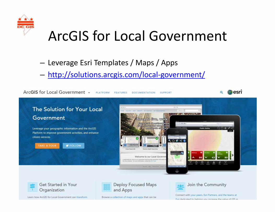
ArcGIS for Local Government
– Leverage Esri Templates / Maps / Apps– http://solutions.arcgis.com/local‐government/

Quantifying Infrastructure Risk from Climate Change
• Case Study: Army Corps of Engineers Naval Station Norfolk
• Presentation from the team leader on a recently released US Army Corps of Engineers case study analysis for Norfolk, VA Naval Station which has potential applicability to the National Capital Region.
• The study is helping the Navy protect infrastructure by mapping interdependencies (energy, water, communications, buildings, and other assets) and analyzing impacts from coastal storms, sea level rise, precipitation and resulting groundwater levels and flood elevations.
Friday, December 12, 201410am – 12:30pm
Metropolitan Washington Council of Governments

OCTO GIS News
Tim Abdella

Staffing Updates
• FTE Updates ‐ 3 positions posted and closed:– Public Safety Liaison– GIS Analyst– GIS UX Designer
• Contractor updates:– Srikanth Avirneni – ETL Specialist– Dave Cook – Public Safety Coordinator– Project Coordinator – Interviewing– Planning & Economic Dev coordinator / PM

OCTO GIS FY’15 Projects
• 2015 Derived LiDAR Products• 3D Building Update• DC Info USA Business Data
Maintenance• Regional Routable Centerline data• ArcGIS Server Architecture• Google "Stack" Project• OpenGeo Stack• Hadoop or similar big data• Strategic / Business Plan refresh• dcgis.dc.gov website design
• Street Level Imagery Integration• 3D Design Review application• Central Database modeling effort• VPM update – Migration• MAR 2.0* History, R&H, Geocoder• Establish Source Code Control
dimensions• Data maintenance tools• Valarm environmental data• AGO for DCPS and Charter Schools

Highlights: OCTO GIS Team to Cover
Migrations / updates:• Systems• Development• Data• Training

Systems Report
Frank Wang

GIS Server Updates
• Finalizing System Architecture• Continuing the Migration to New Oracle Grid• Migrating all servers running Windows Server 2003 servers to Windows Server 2012 R2
• Updating ArcGIS License Server to 10.3• Improving ArcGIS Server Security• Installing ESRI System Testing and Monitoring tools

Citrix Updates
• Deployment of ArcGIS 10.2.2, 10.3 and ArcGIS Pro on the Staging Citrix test farm .
• Deployment of upgraded DCGISToolbar on Citrix staging test farm on both 10.2.2 and 10.3.
• Planning for Citrix XenApp 7.6 upgrade.• Updated Citrix Farm data stores on both production and test to support Replication across data centers

Development Report(migrations, migrations, migrations)
Julie Kanzler

Source Control Migration• Priority #1, here’s why…
– Protects applications resources
– Change tracking– Easy rollback– Increases productivity– Supports a collaborative
coding model• The facts
– Serena Dimensions– 85% complete
• Still some issues to resolve Next step ‐ Automated deployment!

Web Apps Server Migration
• ^^ !• Win 2012 R2 / IIS 8.5 test server is ready to receive automated
deployments• Staging will follow after test passes internal testing and vulnerability
scans• Developing project document for ECIS, working with Frank on
security and other systems considerations• Target date for rollout is now April, but depends upon several
factors not yet fully accounted for

Application Platform Migration• Why?
– Distribute application deployment and configuration to agencies
– Common look and feel– Economies of scale– Collaborative model
• ArcGIS Online Platform‐based application deployment model– Full‐featured templates with DC‐
specific data and capabilities– e.g., Detailed DC basemap and MAR‐
based address searching• Individual widgets & themes
– Extending WebApp Builder– E.g., MAR Geocoder
• Progress – 5% complete• Your input, please
http://tomwayson.com/2014/06/30/generating‐custom‐widgets‐for‐esris‐webapp‐builder‐with‐yeoman/

Documentation & Help
• Help, for sustainability and usability– Sharable Product Documentation
• Dependencies and process flow– Participating in OCTO‐wide Application Topology project to discover, map, and document system interdependencies
• Targets – managers, developers and technologists– Assistance for implementers, power users, developers
• New web site pages, shared documentation (^^), one‐on‐one as needed
– UI‐integrated help and strong UI/UX design for end users

Other
• Yes, CORS enabled for * on open web services is on its way, but need to wait for robust architecture to support it
• Esri DevSummitDC – well attended by OCTO developers and agency developers (over 10 total)– Anyone interested in attending our follow up meeting?

Data Report
Mario Field

Updated Datasets• Bank• Bicycle Lane• Boys and Girls Club• Business (60k)• CAMA – Residential (GBA)• CAMA – Commercial• CAMA – Condo• DC Agency• Federal Office• Gas Station• Golf Course• Great Street• ITSPE_FACTS• ITSPE_VACANT_PROPERTY• ITSPE_PROPERTY_SALES
• Hospital • Hospital Grounds• Military• Neighborhood Planning Area (DDOT)• Notary Public• Single Member District• Street Tree (automate)• Street Centerline ((automate)• Street Segment ((automate)• Street Light ((automate)• Trail• Triangle and Median (DDOT)• Ward

ITSPE Summary Tables
• ITSPE_FACTS – Shorter, more lite version of ITSPE
• ITSPE_VACANT_PROPERTY – records for vacant properties
• ITSPE_PROPERTY_SALES – records for property sales where sales price is not NULL

Data Catalog
• 1,512 total records • Work in Progress• Two parts – data catalog ‐ online catalog• Links opendata.dc.gov to data source

Next Data Load• Basemap Annotation• Basemap Cartographic Layer(s)• Business• Certificate of Occupancy• Critical Facility (Group layer)• Recreation Facility• DPR Park• Street Centerline• Street Roadway Segment• UFA Tree• Street Light

Training Report
Eva Stern

CLD Courses
• Overview (ArcGIS), ArcGIS, Google DC
• Phasing out Google DC course
• Workshops

ArcGIS Online ‐ New
• 3‐hour seminar w/ hands‐on experience
• December and January classes
• Next class: February 18th (Full)

Round Table
Open Forum

Round Table
• FedUC 2015:– Majority – 92 .dc.gov– 12 to Dev Summit
• 550 total– 350 from State and Local– 4,300 total – Plenary recordings on‐line
• O'Malley killed it– Young Professional Group – New
• Look for more in the future (less then 5 years exp)
Round Table
• FedUC 2015:– Feedback – [email protected]– Julie – Please keep doing it! – Dev Summit– Dito from others– Gov hard travel approval– Fei needs a machine to replicate himself– Dev summit content will go online from Palm Springs– Would like to see cross pollination with TRB…..
• Target the September GIS spin‐off

Round Table
• FedUC 2015:– Emergent summits great
• National Security– Plenary good
• Great presentations– Streamline dev sessions from day 1 & 2– PRO 1.0 out, PRO 1.1 soon with SDK
• SDK will do what Charlie needs…• PRO 64 BIT OS… 8 GB RAM
– Mansor Raad ‐ presentations are great

Round Table
• MOOC coming – Free– Early March
• TUGIS Preconference Workshop– March 16th
– Conference is the 17th ‐ $60.00

Round Table
• Follow‐ups– GRID Migration– COO permit data– Updated OTR Data– Air Rights Lots?
• Data incomplete? – Lindsley to work with Rasheed– 3D Design review application…
• Need sub committee, Create.io– CORS enabled

Round Table
• Charlie– CORS Clarification– Julie – internal test server– *.dc.gov host externally– End goal is world wide CORS– Frank working towards architecture– Need approval from CWITS (working towards this)– Timeframe: September 30, 2015….. (goal)

Round Table
• David– DDOT requires visitor parking verified with MAR– A few new units a week– DDOT has website, if no MAR, then to MAR unit submission David Fix
– http://Vpp.ddot.dc.gov– Manly rental units, need to validate “legality”
• Illegal should not get a VPP• COO could be used to validate this

Round Table
• Roger– MD DOE conversation – 2,400 scale NHD– DDOE is looking at 2,400 – maybe 1,200– MoCo funded 26 million for BMP’s – DC?– Sandy Supplemental LiDAR
• Collection Finished December 2014• November 2015 for delivery – mid Atlantic• One single release (Greater COG)• Lessons learned from re‐work (overpasses, bridges)

Round Table• Kate
– DCRA efforts:– Office of Data Innovation (ie Kate)– Request data
• Mario ALL!– Kate needs data need priority– Innovation – how tied to policy
• If not collecting data, should we be– Outreach with institutes
• Urban institute and Apple Seed• McCort School – Georgetown• Public policy schools working with DMPED• AU focused on Public policy, data and Health• Reach out to GW….

Round Table
• Benito– Research branch (park, planning)
• Data WiKi for traffic studies• Centralize data to remove duplication• Neighborhood parking plans
– Dupont, Georgetown– Using Cyclomedia, Google
• Refine Parking to the block level• RPP vehicles registered to which blocks• Start at desktop moving to field verification

Adjourned
Thank you
Links to past DC GIS Steering Committee Meeting Agendas and Presentations are available at: http://dcgis.dc.gov click on DC GIS Steering Committee Link on the bottom of the page.