
Tiles, material, architecture, roof tiles, floor tiles, pebble tiles, ceiling tiles, wall tiles

Creating Vector Tiles in
ArcGIS Pro
Barbara Seje
Remmy Kesis
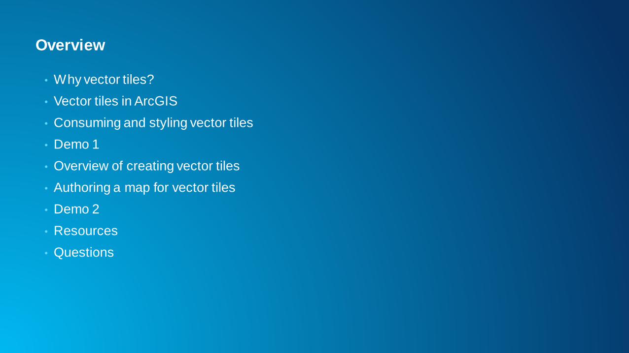
Overview
• Why vector tiles?
• Vector tiles in ArcGIS
• Consuming and styling vector tiles
• Demo 1
• Overview of creating vector tiles
• Authoring a map for vector tiles
• Demo 2
• Resources
• Questions
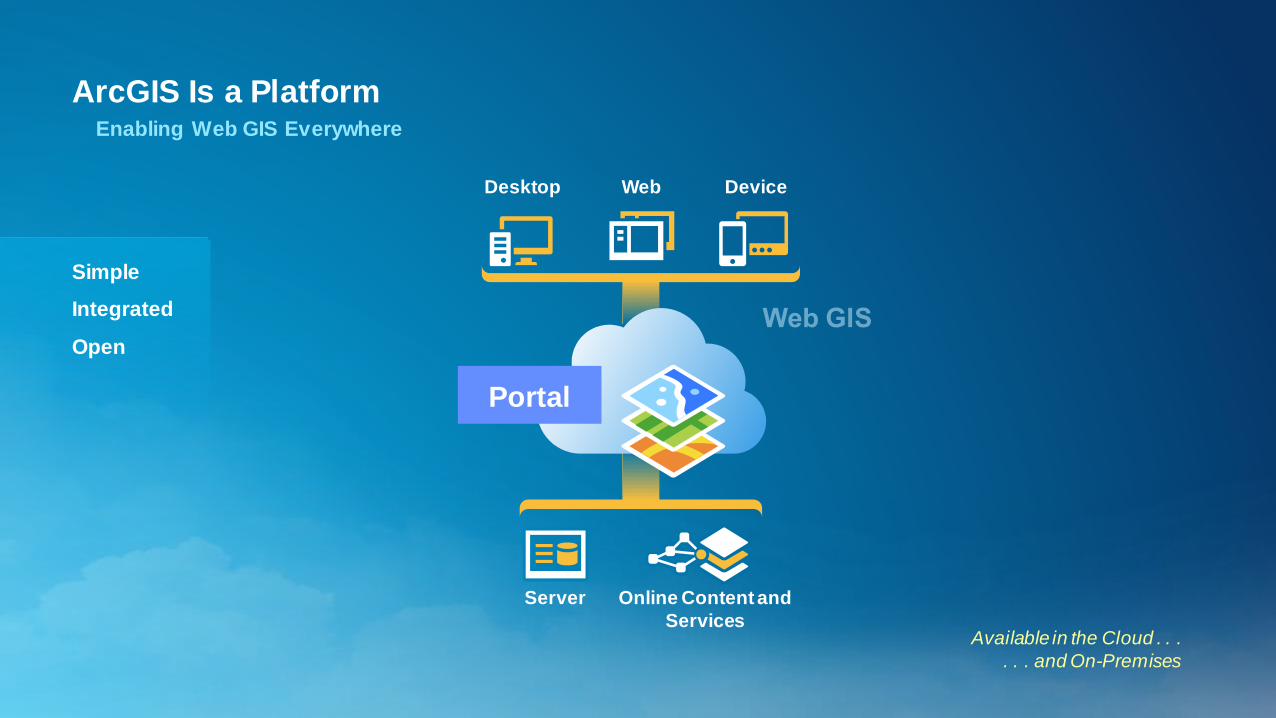
ArcGIS Is a PlatformEnabling Web GIS Everywhere
Available in the Cloud . . .
. . . and On-Premises
Simple
Integrated
Open
Server Online Content and
Services
Portal
Desktop Web Device
Web and mobile mapping over the last 10+ years
• Typically vector content
• Displaying on top of basemaps
• Since ~ 2005, basemaps usually been raster tiles
• Dynamic updates of the map consist of 2 things:
-Updating overlay content as drawn in client
-Changing the basemap
• Paradigm is changing due to new high dpi devices
Why vector tiles?
• GPUs have changed the landscape
- Mobile devices (OpenGLES2)
- Browsers (WebGL)
- Desktop (DirectX, OpenGL)
- Virtualized systems (vGPU)
• Vector data can remain vector, draw at native resolution
• Unlike raster tiles, they can adapt to the resolution of their display device
• Can be restyled
• Raster data still best served as raster in most circumstances

Advantages of vector tiles
• Display Quality
- Best possible resolutions for retina displays
- Small efficient format
• Dynamic Labelling
- Clearer, more readable text
- On the fly labelling for heads up display
• Map Styling
- Streets, topo, canvas from one tileset
- Day and night mode
- Restyling
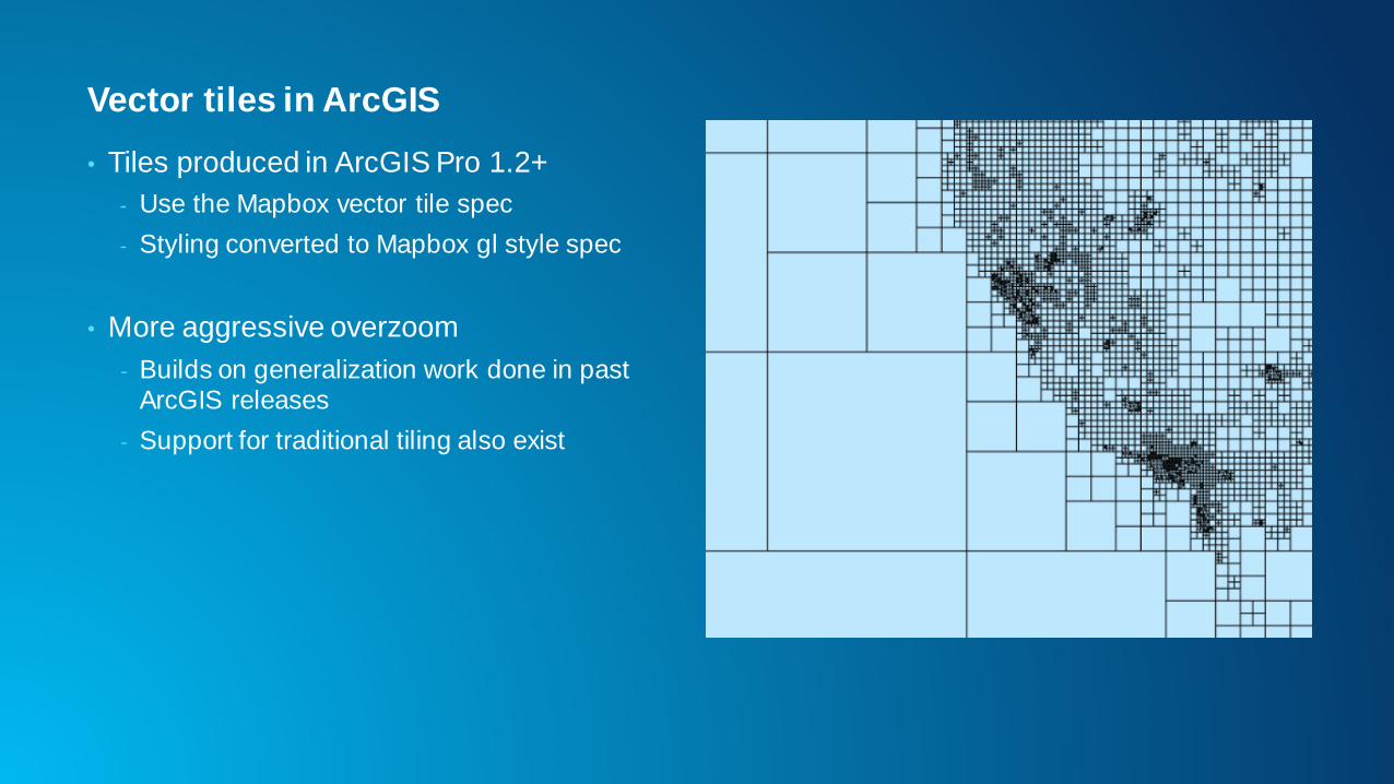
Vector tiles in ArcGIS
• Tiles produced in ArcGIS Pro 1.2+
- Use the Mapbox vector tile spec
- Styling converted to Mapbox gl style spec
• More aggressive overzoom
- Builds on generalization work done in past ArcGIS releases
- Support for traditional tiling also exist
Vector tile format
• Stored using protocol buffers
- Compact binary format for transferring data
- Data is organized into layers of geometry with key pairs of attributes
• A style file defines
- The layer order
- Definition query for each symbol layer
- Symbol information for each symbol layer
- Pro maps are converted to this model
Tile creation process: ArcGIS basemaps
• Vector tiles
- ~ 8 hours on a machine
- Tiles ~ 13GB
- Multiple styles can use the same tiles
• Raster tiles
- Many weeks on a server cluster per map tile
- Tiles ~ 20TB
Entire World
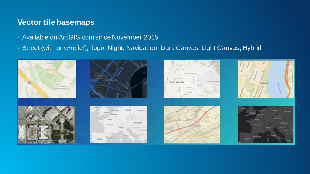
Vector tile basemaps
• Available on ArcGIS.com since November 2015
• Street (with or w/relief), Topo, Night, Navigation, Dark Canvas, Light Canvas, Hybrid
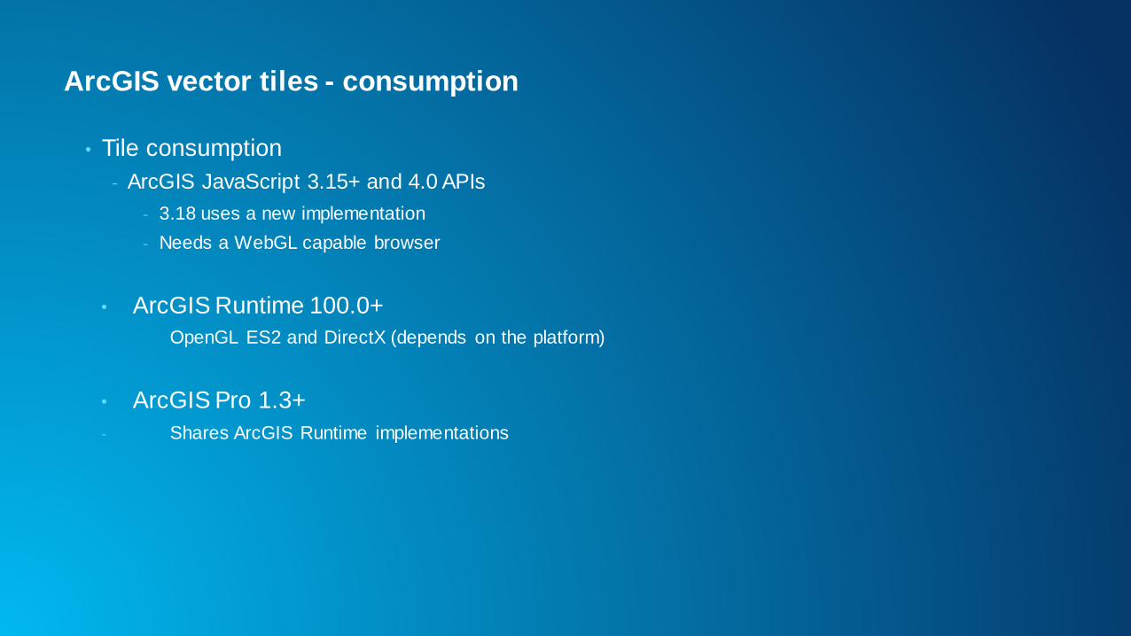
ArcGIS vector tiles - consumption
• Tile consumption
- ArcGIS JavaScript 3.15+ and 4.0 APIs
- 3.18 uses a new implementation
- Needs a WebGL capable browser
• ArcGIS Runtime 100.0+
OpenGL ES2 and DirectX (depends on the platform)
• ArcGIS Pro 1.3+
- Shares ArcGIS Runtime implementations
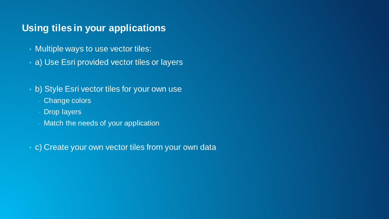
Using tiles in your applications
• Multiple ways to use vector tiles:
• a) Use Esri provided vector tiles or layers
• b) Style Esri vector tiles for your own use
- Change colors
- Drop layers
- Match the needs of your application
• c) Create your own vector tiles from your own data
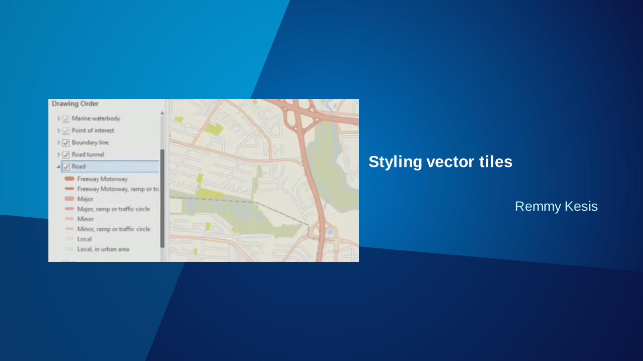
Remmy Kesis
Styling vector tiles
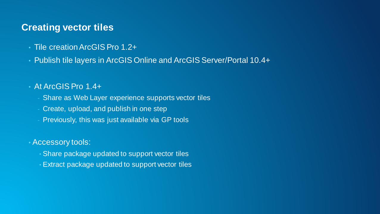
Creating vector tiles
• Tile creation ArcGIS Pro 1.2+
• Publish tile layers in ArcGIS Online and ArcGIS Server/Portal 10.4+
• At ArcGIS Pro 1.4+
- Share as Web Layer experience supports vector tiles
- Create, upload, and publish in one step
- Previously, this was just available via GP tools
• Accessory tools:
• Share package updated to support vector tiles
• Extract package updated to support vector tiles
Authoring maps for vector tile
• Only feature layers with simple, unique value, graduated, or class breaks
symbology supported
• Maps should be re-authored for vector tiles
• ArcGIS Pro improvements to to assist map re-authoring
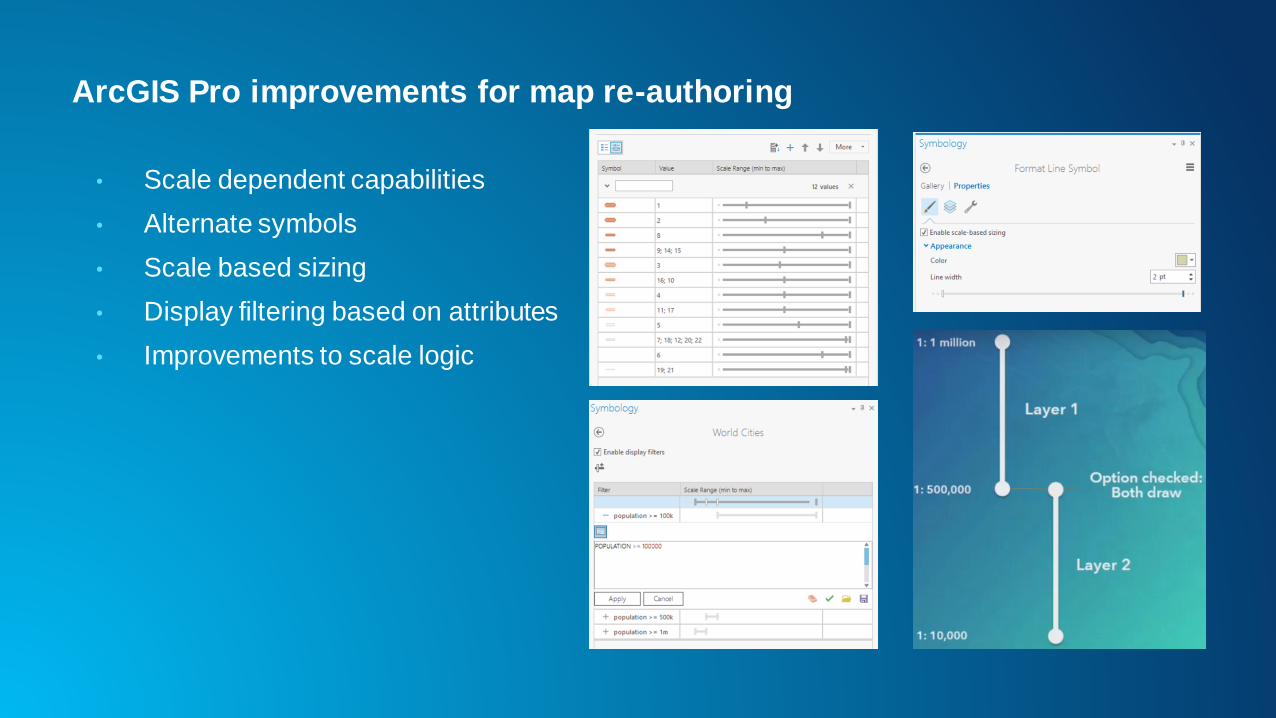
ArcGIS Pro improvements for map re-authoring
• Scale dependent capabilities
• Alternate symbols
• Scale based sizing
• Display filtering based on attributes
• Improvements to scale logic
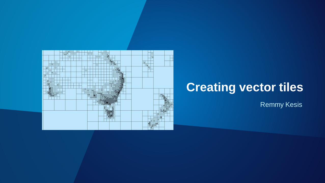
Remmy Kesis
Creating vector tiles
Resources
Esri blog
• https://blogs.esri.com/esri/arcgis/2015/11/18/introducing-esri-vector-basemaps-beta/
Author map for vector tile
• http://pro.arcgis.com/en/pro-app/help/mapping/map-authoring/author-a-map-for-vector-tile-
creation.htm
Training
ArcGIS Pro Essential Workflows