Civil GPS Service Interface Committee International Sub Committee Meeting Melbourne, Victoria 10 th...
23
Civil GPS Service Interface Committee International Sub Committee Meeting Melbourne, Victoria 10 th -11 th February 2003
-
Upload
whitney-watkins -
Category
Documents
-
view
216 -
download
1
Transcript of Civil GPS Service Interface Committee International Sub Committee Meeting Melbourne, Victoria 10 th...
Civil GPS Service Interface Committee
International Sub Committee Meeting
Melbourne, Victoria
10th-11th February 2003
GPS Augmentation
- A Commercial View -
Presented by
OmniSTAR Pty Ltd

OverviewOverview
• History Lesson
• Current Systems
• Future Directions
In Brief:
HistoryHistory
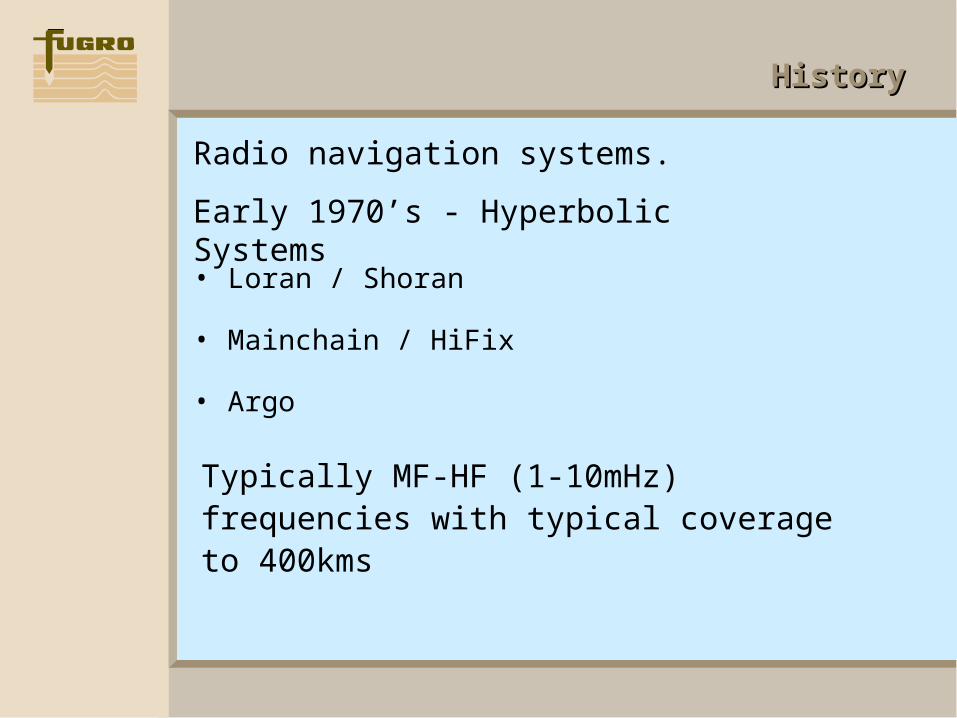
• Loran / Shoran
• Mainchain / HiFix
• Argo
Radio navigation systems.
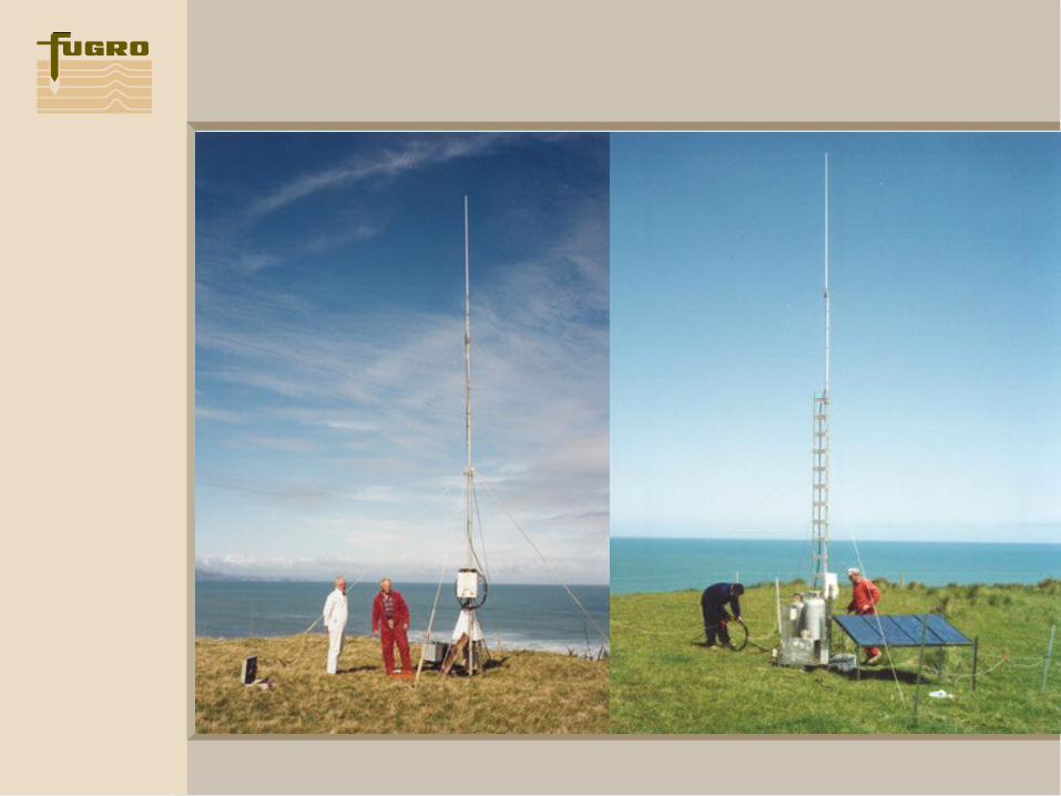
Early 1970’s - Hyperbolic Systems
Typically MF-HF (1-10mHz) frequencies with typical coverage to 400kms
HistoryHistory
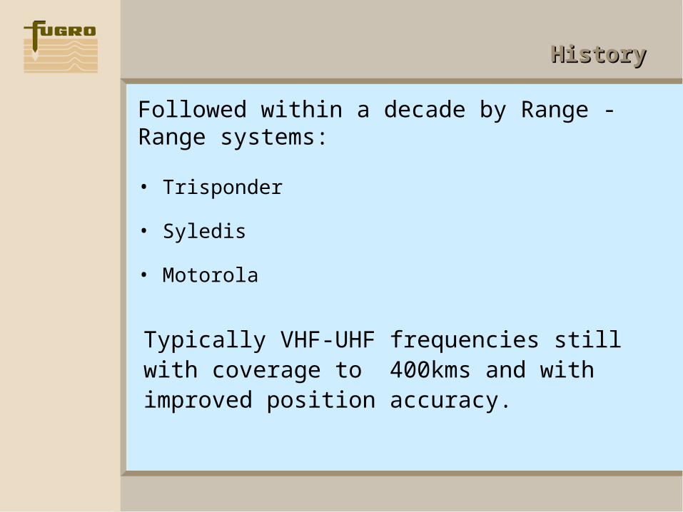
• Trisponder
• Syledis
• Motorola
Followed within a decade by Range - Range systems:
Typically VHF-UHF frequencies still with coverage to 400kms and with improved position accuracy.
HistoryHistory
• Long range radio systems 2000kms developed
• Spot - Offshore Navigation Inc
Also developed were:
Private four satellite positioning system
• STARFIX - John E. Chance
• Gulf of Mexico
• Exploration for oil

HistoryHistory
• Startrack UDI- Marconi
• Skyfix Racal (Thales Navigation)
• Georef Geoteam
• SARGAS Western Geophysical
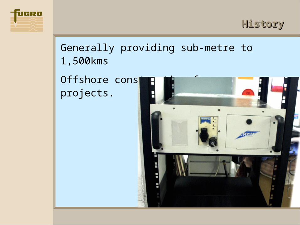
• ORION Wimpol
• Veripos HF / Satellite
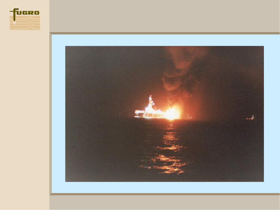
The next decade saw the development of GPS augmentation systems. These systems were point to multipoint and conceived by Walter Blanchard.
HistoryHistory
Generally providing sub-metre to 1,500kms
Offshore construction for resource projects.
HistoryHistory
• Rack mounted mobile equipment
• Sophisticated operators
• Regional availability
• Offshore exploration and construction dependent
These systems were characterised by:

HistoryHistory
• SkyFix - Thales Navigation
• STARFIX II - Fugro
In the past decade this industry has further developed the GPS Augmentation systems available today.
Development has been in two streams.
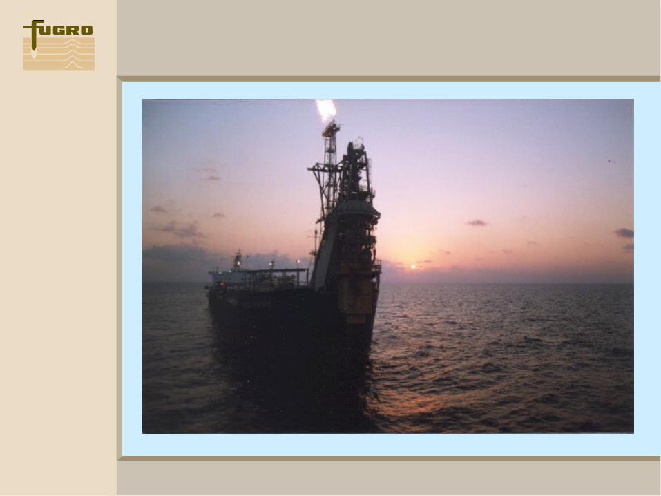
Firstly, Offshore exploration and construction users

HistoryHistory
Characterised by:
• Very high reliability and system redundancy
• Immediate disaster recovery systems
• Sophisticated user defined parameters for the position solution
• System quality assurance indications available to the user
CurrentCurrent
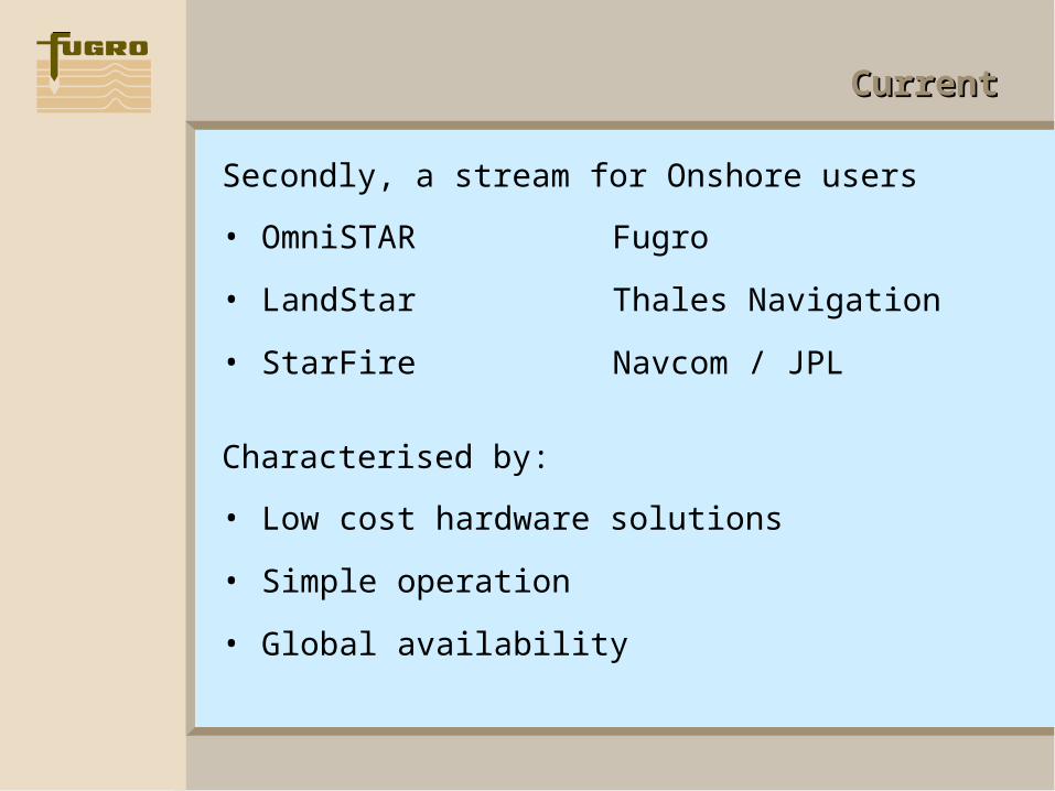
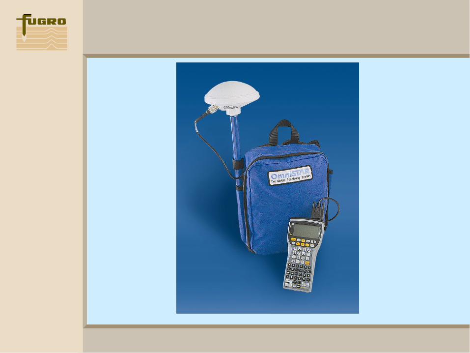
Secondly, a stream for Onshore users
• OmniSTAR Fugro
• LandStar Thales Navigation
• StarFire Navcom / JPL
Characterised by:
• Low cost hardware solutions
• Simple operation
• Global availability

BenefitsBenefits
The Commercial GPS Augmentation industry provides significant benefits to the wider Australian community.
• Funding academic research
• Provides a “user benefit - user pays” environment for users in Australia
• Created an umbrella environment for Australian innovation
• Financial support to industry innovators
BenefitsBenefits
Examples of Australian Innovation:
• Satellite antenna design
• Visual guidance system in Agriculture
• GPS assisted steering for broadacre
• Rapid field asset mapping systems
These research and development projects are now Australian exports.

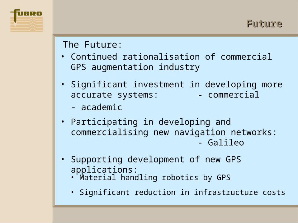
FutureFuture
The Future:• Continued rationalisation of commercial GPS
augmentation industry
• Significant investment in developing more accurate systems: - commercial
- academic
• Participating in developing and commercialising new navigation networks: - Galileo
• Supporting development of new GPS applications:
• Material handling robotics by GPS
• Significant reduction in infrastructure costs