CITY OF HOUSTON SURVEY RECORDS PAST PRESENThoustontx.gov/planning/DevelopRegs/docs_pdfs/2015... ·...
14
CITY OF HOUSTON SURVEY RECORDS PAST & PRESENT 2015 City of Houston Platting and “Retrospect” Workshop Presented by: Summer Chandler, RPLS Chief Surveyor (a.k.a. the City Surveyor)
Transcript of CITY OF HOUSTON SURVEY RECORDS PAST PRESENThoustontx.gov/planning/DevelopRegs/docs_pdfs/2015... ·...

CITY OF HOUSTON SURVEY RECORDS PAST & PRESENT
2015 City of Houston Platting and “Retrospect” Workshop
Presented by: Summer Chandler, RPLS Chief Surveyor (a.k.a. the City Surveyor)
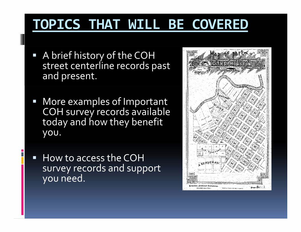
TOPICS THAT WILL BE COVERED
A brief history of the COH street centerline records past and present.
More examples of Important COH survey records available today and how they benefit you.
How to access the COH survey records and support you need.
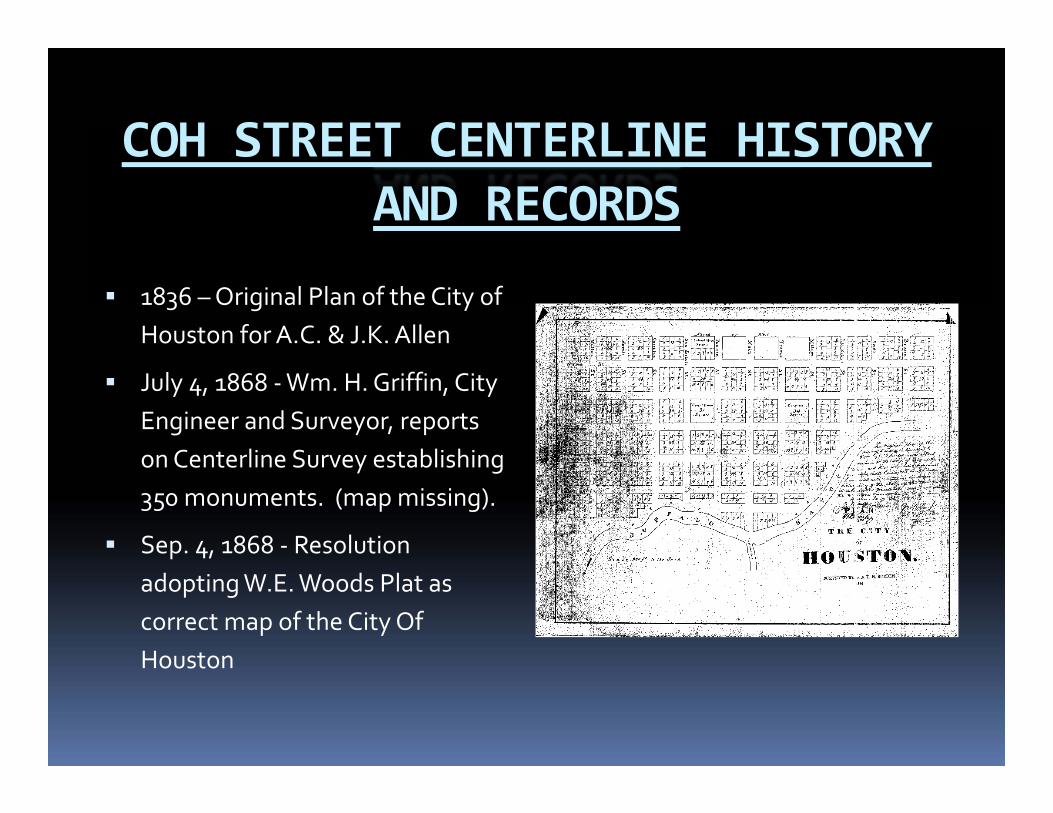
COH STREET CENTERLINE HISTORY AND RECORDS
1836 –Original Plan of the City of Houston for A.C. & J.K. Allen
July 4, 1868 ‐Wm. H. Griffin, City Engineer and Surveyor, reports on Centerline Survey establishing 350 monuments. (map missing).
Sep. 4, 1868 ‐ Resolution adopting W.E. Woods Plat as correct map of the City Of Houston
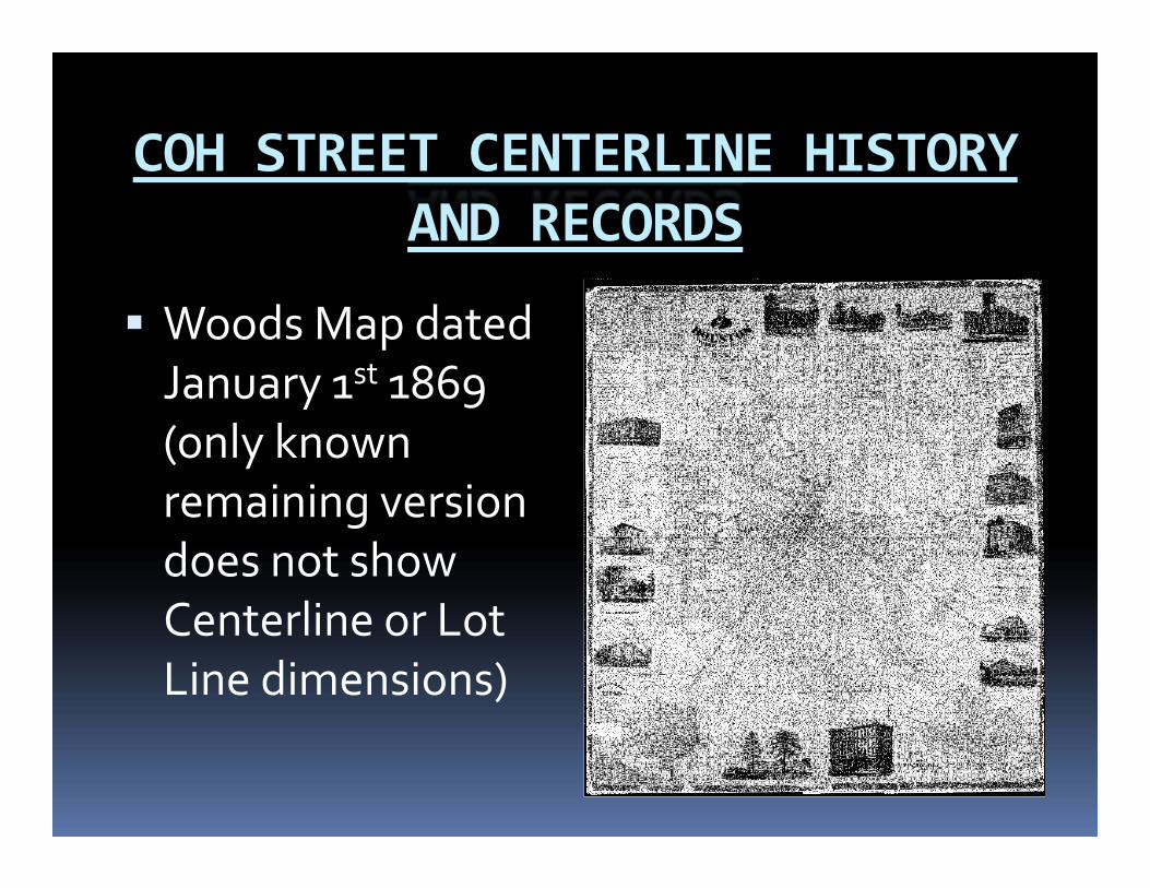
COH STREET CENTERLINE HISTORY AND RECORDS
Woods Map dated January 1st 1869 (only known remaining version does not show Centerline or Lot Line dimensions)
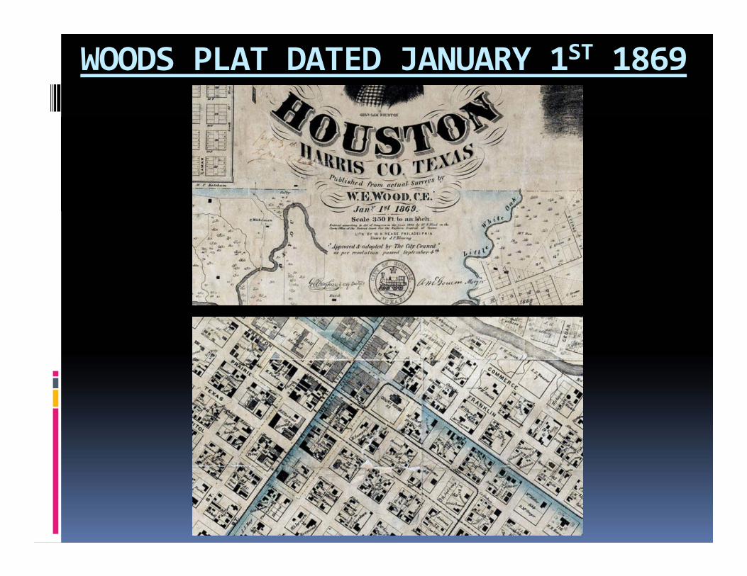
WOODS PLAT DATED JANUARY 1ST 1869
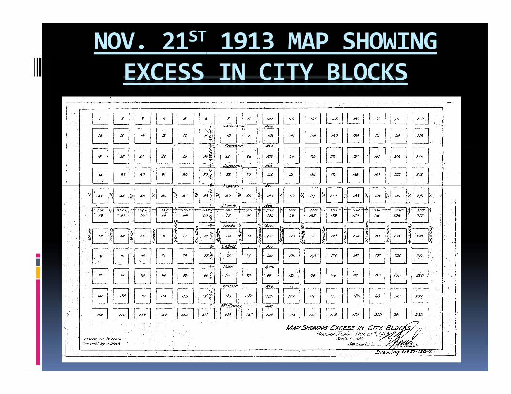
NOV. 21ST 1913 MAP SHOWING EXCESS IN CITY BLOCKS

CENTERLINE REFERENCE ROD SYSTEMREVITALIZATION SURVEY ‐ MARCH 2008
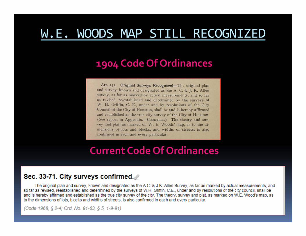
W.E. WOODS MAP STILL RECOGNIZED
1904 Code Of Ordinances
Current Code Of Ordinances
WHAT DOES THIS MEAN TO YOU?
All Surveyors locating boundaries within the areas shown on the W.E. Woods map must reference our Centerline Reference Monuments.
It is strongly recommended that Surveyors performing work within the city check with our office for Centerline Reference Monuments outside the limits of the W.E. Woods Map.
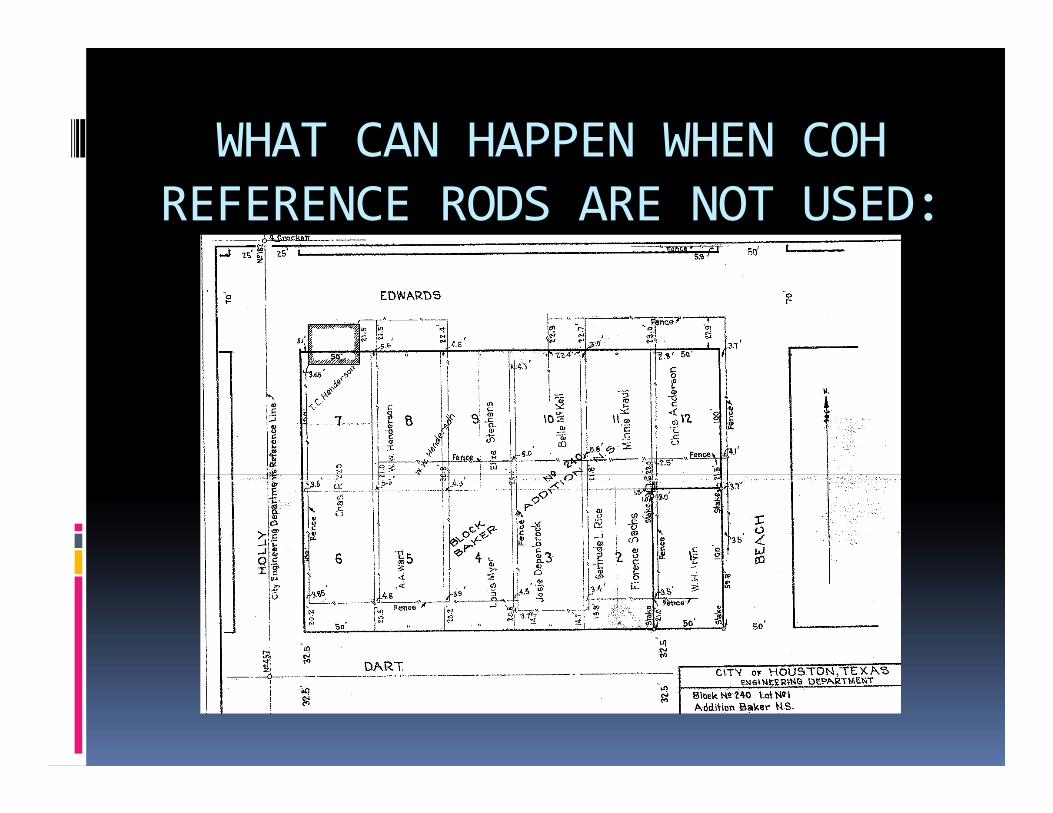
WHAT CAN HAPPEN WHEN COH REFERENCE RODS ARE NOT USED:

AVAILABLE COH SURVEY RECORDS
The Survey Section has a wealth of information available to the public. Right of Way Maps Reference Rod
Recovery sketches Site Monument Data Original Field Books Historic Surveys

AVAILABLE COH SURVEY RECORDS
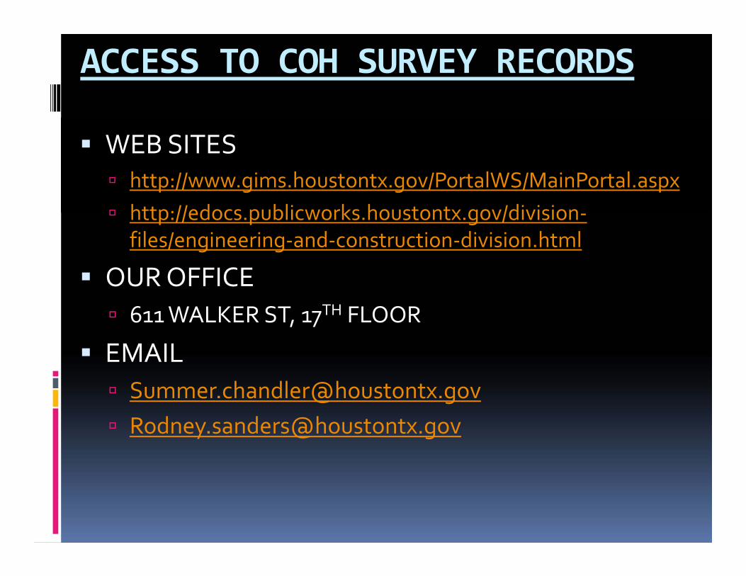
ACCESS TO COH SURVEY RECORDS
WEB SITES http://www.gims.houstontx.gov/PortalWS/MainPortal.aspx http://edocs.publicworks.houstontx.gov/division‐
files/engineering‐and‐construction‐division.html
OUR OFFICE 611 WALKER ST, 17TH FLOOR

Thank you for allowing us the opportunity to make this presentation. Should you have questions about
the information presented, contact
Summer Chandler, RPLS Chief Surveyor (a.k.a. the City Surveyor),
Survey Section, Construction BranchEngineering and Construction Division
Department of Public Works & [email protected]
(832) 395-2383Texas Board of Professional Land Surveying Firm License Number: 10168900 (government exclusion)