


Languages
Pages
Legal

ECONOMIC DEVELOPMENT SUMMIT
April 16, 2015
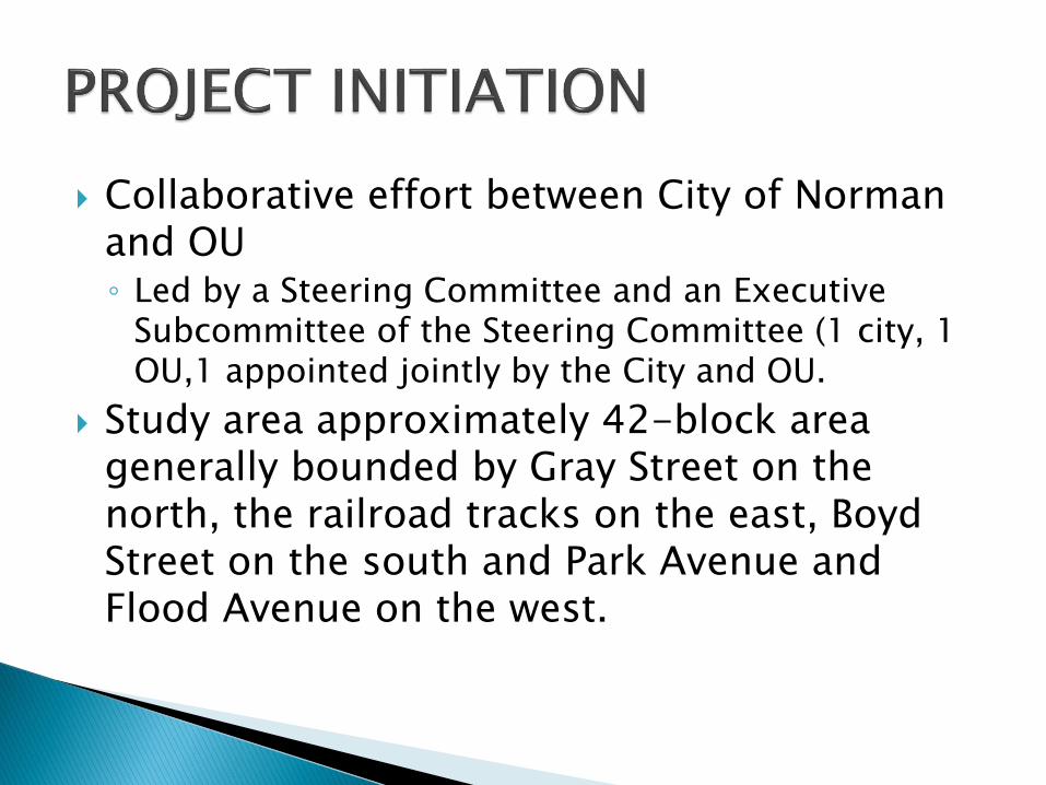
Collaborative effort between City of Norman and OU◦ Led by a Steering Committee and an Executive
Subcommittee of the Steering Committee (1 city, 1 OU,1 appointed jointly by the City and OU.
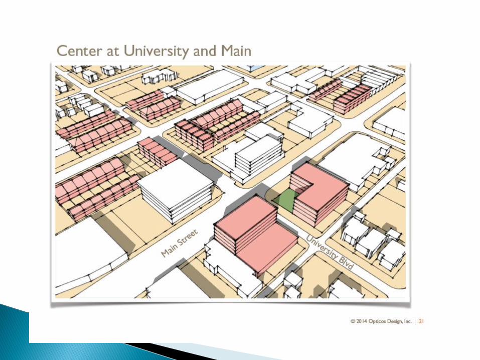
Study area approximately 42-block area generally bounded by Gray Street on the north, the railroad tracks on the east, Boyd Street on the south and Park Avenue and Flood Avenue on the west.

What Did We Hope to Achieve? Over a six-month period, host several public meetings
and use diverse, hands-on techniques to gather community input on a vision for the future of Norman’s Center City area.
Host intensive, week-long visioning charrette to maximize hands-on participation, opinion polling, and relationship-building around the future of the Center City.
Community input becomes foundation for an illustrated, well-articulated, community-supported vision for the future of the Center City area.
Vision lays groundwork to develop land use regulations that allows the vision to be built.

Primary Goal: Make this area walkable


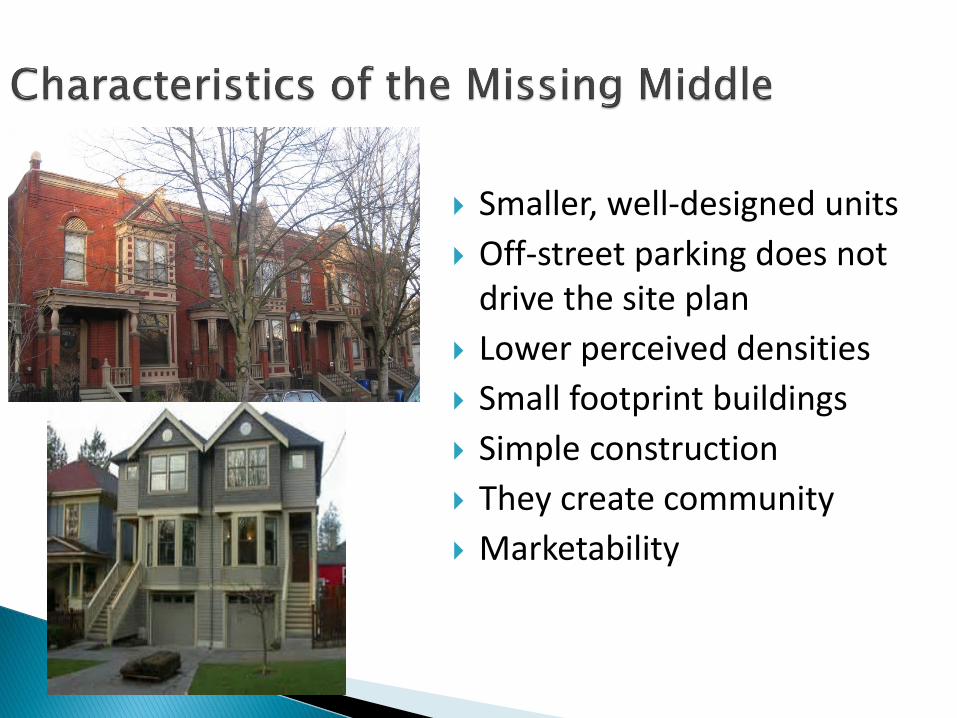
Smaller, well-designed units
Off-street parking does not drive the site plan
Lower perceived densities
Small footprint buildings
Simple construction
They create community
Marketability


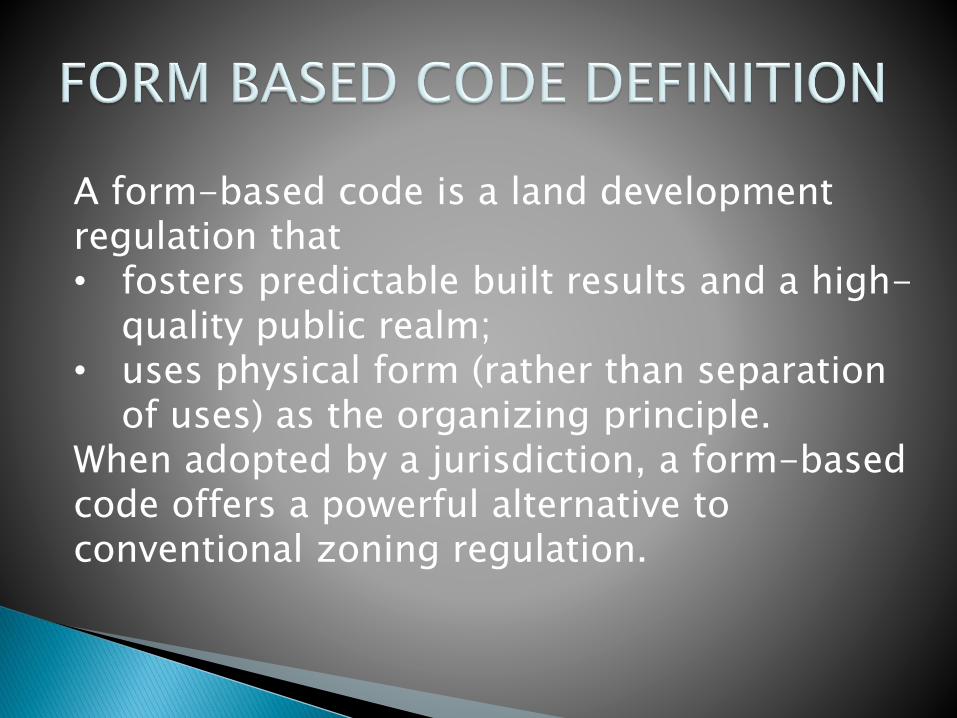
A form-based code is a land development regulation that • fosters predictable built results and a high-
quality public realm;• uses physical form (rather than separation
of uses) as the organizing principle.When adopted by a jurisdiction, a form-based code offers a powerful alternative to conventional zoning regulation.

Conventional
ZoningDensity use, FAR
(floor area ratio),
setbacks, parking
requirements,
maximum building
heights specified
Zoning
Design
GuidelinesConventional
zoning
requirements, plus
frequency of
openings and
surface articulation
specified
Form-Based
CodesStreet and building
types (or mix of types),
build-to lines, number of
floors, and percentage
of built site frontage
specified.


Top Related