Projections: Maps and Globes
Maps vs. Globes
The Evolution of MapsHekataios Map c.500 BC
The Evolution of MapsAl Idrisi Mapc. 200
The Evolution of MapsCatholic Mapc. 1300
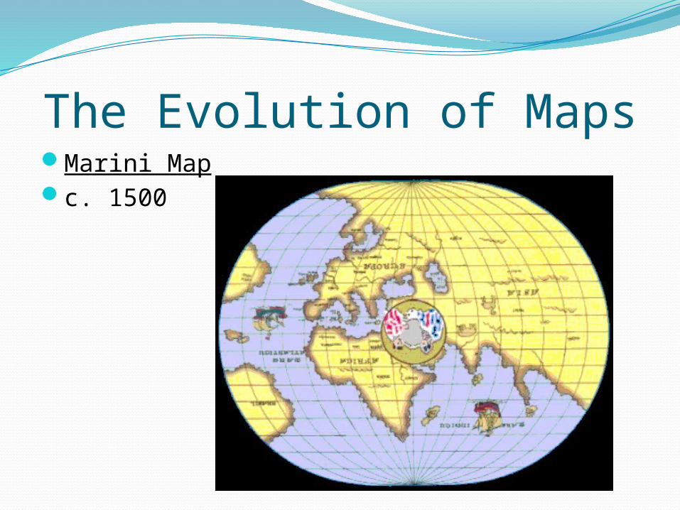
The Evolution of MapsMarini Mapc. 1500
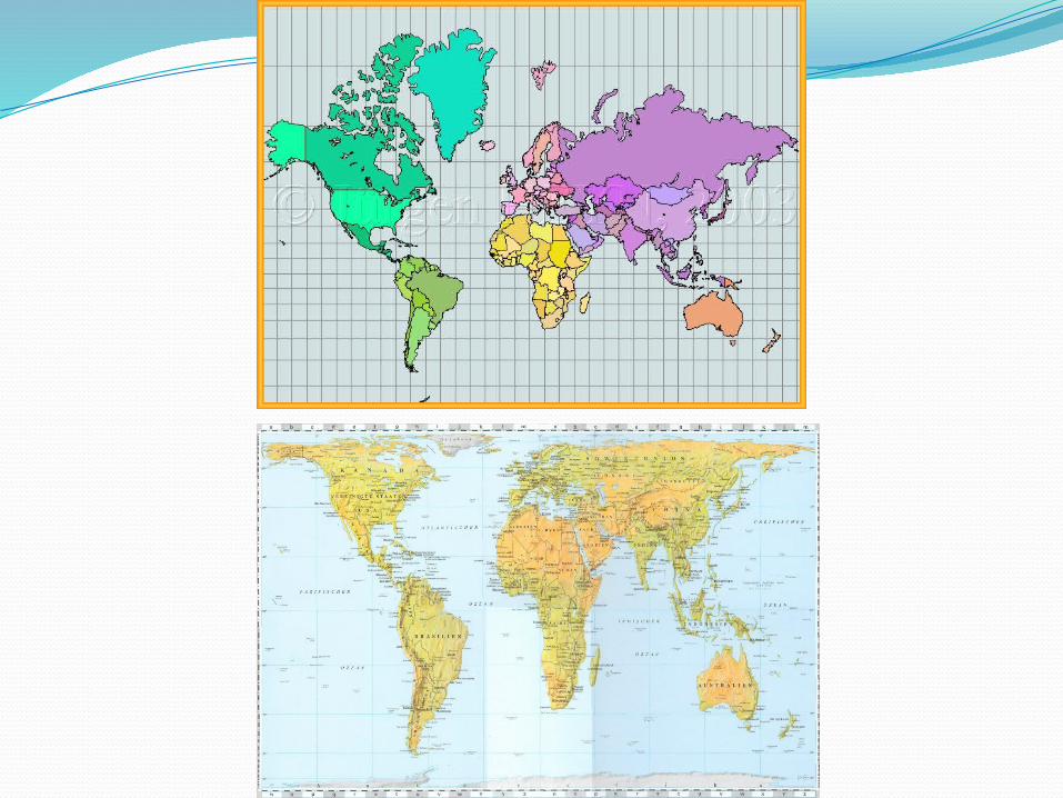
Mercator Map
Peters Map
Maps are political?http://
www.upworthy.com/we-have-been-mislead-by-an-erroneous-map-of-the-world-for-500-years?g=3
http://www.economist.com/blogs/dailychart/2010/11/cartography
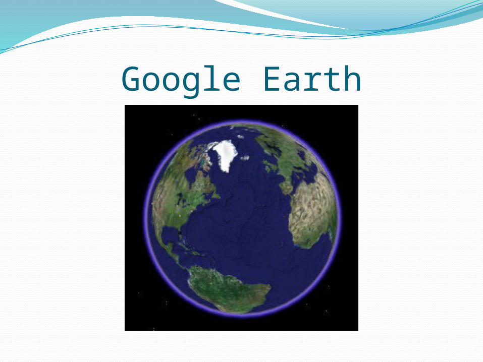
Google Earth
Top Related
Maps and Globes
Using Maps and Globes. Elements of Maps and Globes Title Symbols Labels Color Latitude Lines Longitude Line Compass Rose Scale Legend or key Locator Globe.
posters,maps and globes
Maps and Globes Test - Weeblydperryresgmsd.weebly.com/.../maps_and_globes_test.pdf · 2018-09-10 · Maps and Globes Test Geography 2.13: Compare how maps and globes depict geographical
Map Projectionswhslgrigg.weebly.com/uploads/1/3/1/5/13158546/map... · Why do we use maps vs. globes? Brainstorm advantages that maps have over globes and write them below. Distortions
Maps and Globes in Virtual Realitydwyer/papers/vrglobe.pdfY. Yang et al. / Maps and Globes in Virtual Reality globes are the best way to show global geographic data in immer-sive environments
Lines on Maps and Globes Social Studies Map: Chart/Globe The learner will be able to use maps, charts, graphs, and globes to acquire and report information.
WikiHistoriki Intro to Maps & Globes