


![Python and ArcGIS Enterprise - static.packt-cdn.com€¦ · Python and ArcGIS Enterprise [ 2 ] ArcGIS enterprise Starting with ArcGIS 10.5, ArcGIS Server is now called ArcGIS Enterprise.](https://static.fdocuments.us/doc/165x107/5ecf20757db43a10014313b7/python-and-arcgis-enterprise-python-and-arcgis-enterprise-2-arcgis-enterprise.jpg)

Languages
Pages
Legal

Tips and Tricks for Using ArcGIS Online at 9.3.1Tips and Tricks for Using ArcGIS Online at 9.3.1
Rachel Weeden and Drew KinneyRachel Weeden and Drew Kinney
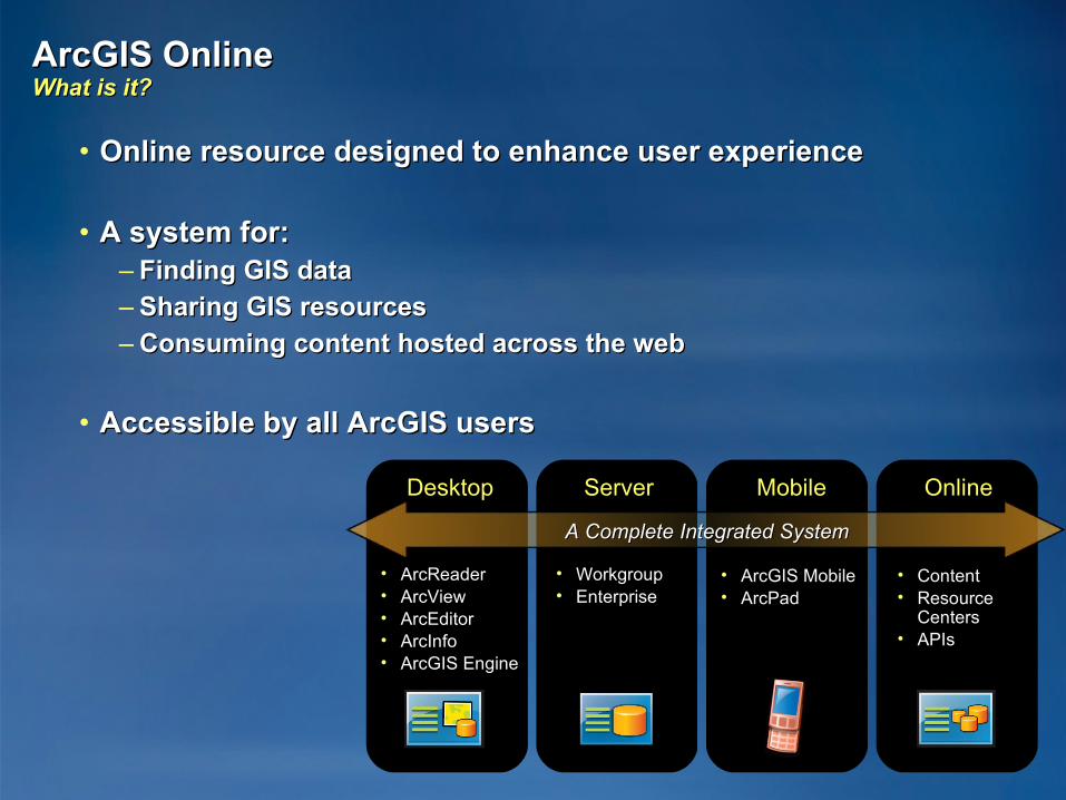
ArcGIS Online ArcGIS Online What is it?What is it?
• Online resource designed to enhance user experienceOnline resource designed to enhance user experience
• A system for:A system for:– Finding GIS dataFinding GIS data– Sharing GIS resourcesSharing GIS resources– Consuming content hosted across the webConsuming content hosted across the web
• Accessible by all ArcGIS usersAccessible by all ArcGIS users
DesktopDesktop ServerServer MobileMobile OnlineOnline
• ArcReaderArcReader• ArcViewArcView• ArcEditorArcEditor• ArcInfoArcInfo• ArcGIS EngineArcGIS Engine
• WorkgroupWorkgroup• EnterpriseEnterprise
• ArcGIS Mobile ArcGIS Mobile • ArcPadArcPad
• ContentContent• ResourceResource
CentersCenters• APIsAPIs
A Complete Integrated SystemA Complete Integrated System
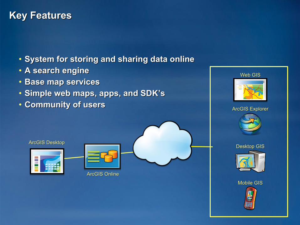
Key FeaturesKey Features
• System for storing and sharing data onlineSystem for storing and sharing data online• A search engineA search engine• Base map servicesBase map services• Simple web maps, apps, and SDK’sSimple web maps, apps, and SDK’s• Community of usersCommunity of users
ArcGIS OnlineArcGIS Online
ArcGIS DesktopArcGIS Desktop
Mobile GISMobile GIS
Desktop GISDesktop GIS
ArcGIS ExplorerArcGIS Explorer
Web GISWeb GIS
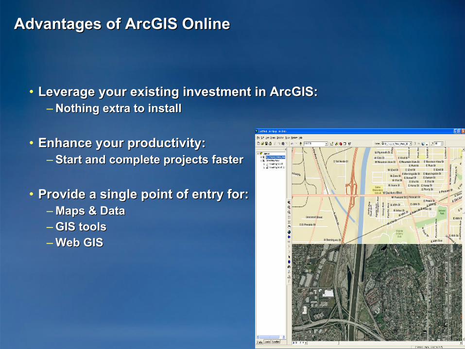
Advantages of ArcGIS OnlineAdvantages of ArcGIS Online
• Leverage your existing investment in ArcGIS:Leverage your existing investment in ArcGIS:– Nothing extra to installNothing extra to install
• Enhance your productivity:Enhance your productivity:– Start and complete projects fasterStart and complete projects faster
• Provide a single point of entry for:Provide a single point of entry for:– Maps & DataMaps & Data– GIS toolsGIS tools– Web GISWeb GIS
What can you share?What can you share?
• MapsMaps– ArcMap (mxd), ArcGlobe (3dd), ArcGIS Explorer (nmf), ArcReader ArcMap (mxd), ArcGlobe (3dd), ArcGIS Explorer (nmf), ArcReader
(pmf)(pmf)
• ToolsTools– Explore tools (eaz), Network Analyst services, Geoprocessing Explore tools (eaz), Network Analyst services, Geoprocessing
services, Locator services services, Locator services
• LayersLayers– Layer packages (lpk), Layer files(lyr), Explore layers (nmc), and ArcGIS Layer packages (lpk), Layer files(lyr), Explore layers (nmc), and ArcGIS
Server map servicesServer map services

Sharing Your WorkSharing Your Work――Layer PackagesLayer PackagesA new method for sharing ArcGIS dataA new method for sharing ArcGIS data
• Easily createdEasily created
• Multiple dissemination methodsMultiple dissemination methods
• Directly usableDirectly usable
ArcGISArcGISDesktopDesktop
ArcGISArcGISOnlineOnline
SharedSharedFilesFiles
E-mailE-mail
CDCD
Packages data and symbologyPackages data and symbology
Encapsulates Your Data and Cartography Encapsulates Your Data and Cartography
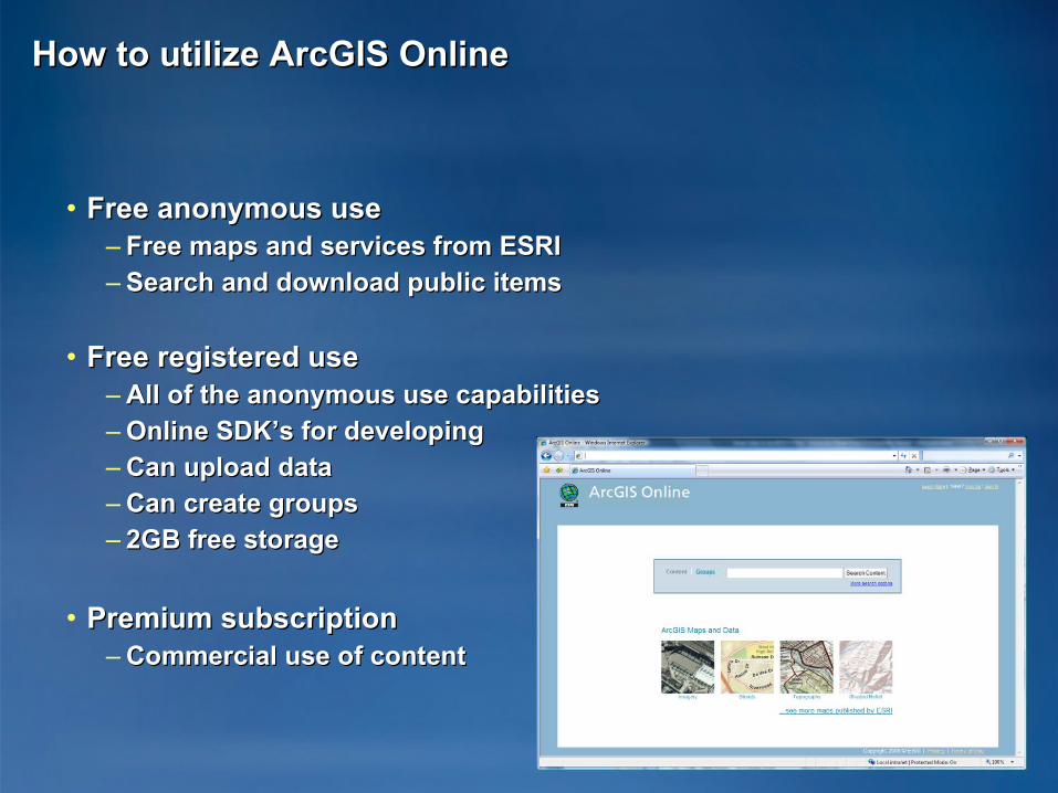
How to utilize ArcGIS OnlineHow to utilize ArcGIS Online
• Free anonymous useFree anonymous use– Free maps and services from ESRIFree maps and services from ESRI– Search and download public itemsSearch and download public items
• Free registered useFree registered use– All of the anonymous use capabilitiesAll of the anonymous use capabilities– Online SDK’s for developingOnline SDK’s for developing– Can upload dataCan upload data– Can create groupsCan create groups– 2GB free storage2GB free storage
• Premium subscriptionPremium subscription– Commercial use of content Commercial use of content
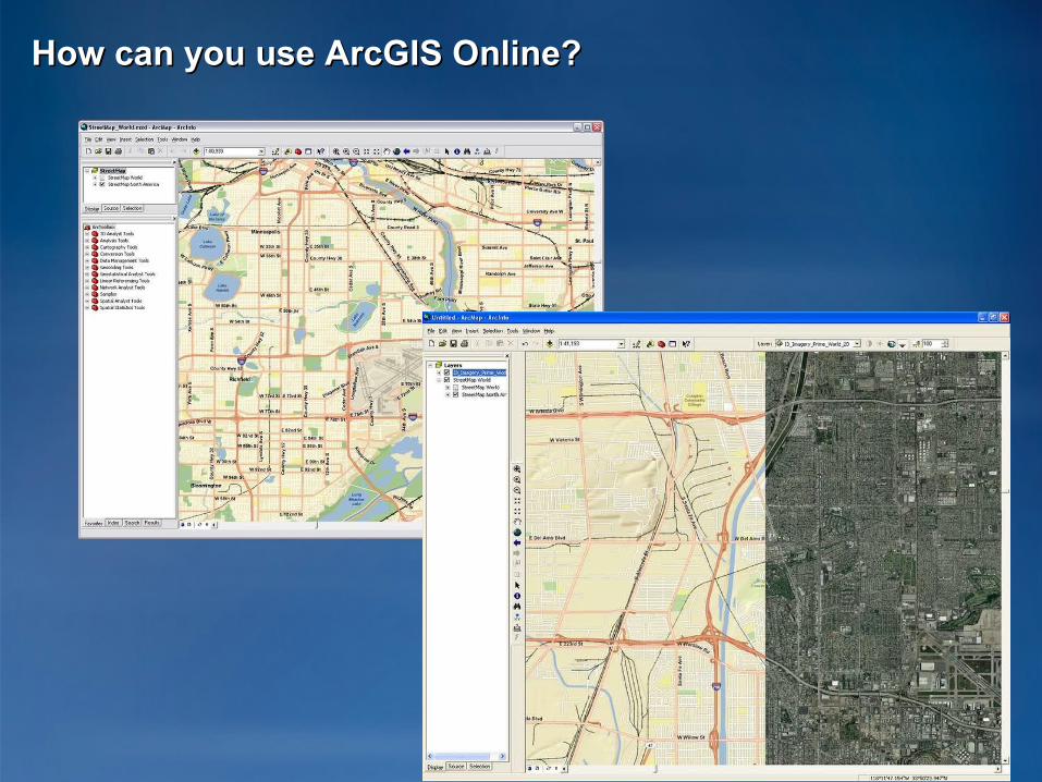
How can you use ArcGIS Online?How can you use ArcGIS Online?
Top Related