Where In Canada? - York Region District School...
27
Where In Canada? Exploring Canada’s Landform Regions – CGC1P
Transcript of Where In Canada? - York Region District School...

Where In Canada?
Exploring Canada’s Landform Regions – CGC1P

The big questions…
� Why does Canada’s geography look the way it does?
� How has what we have learned about plate tectonics connect to Canada’s physical geography?

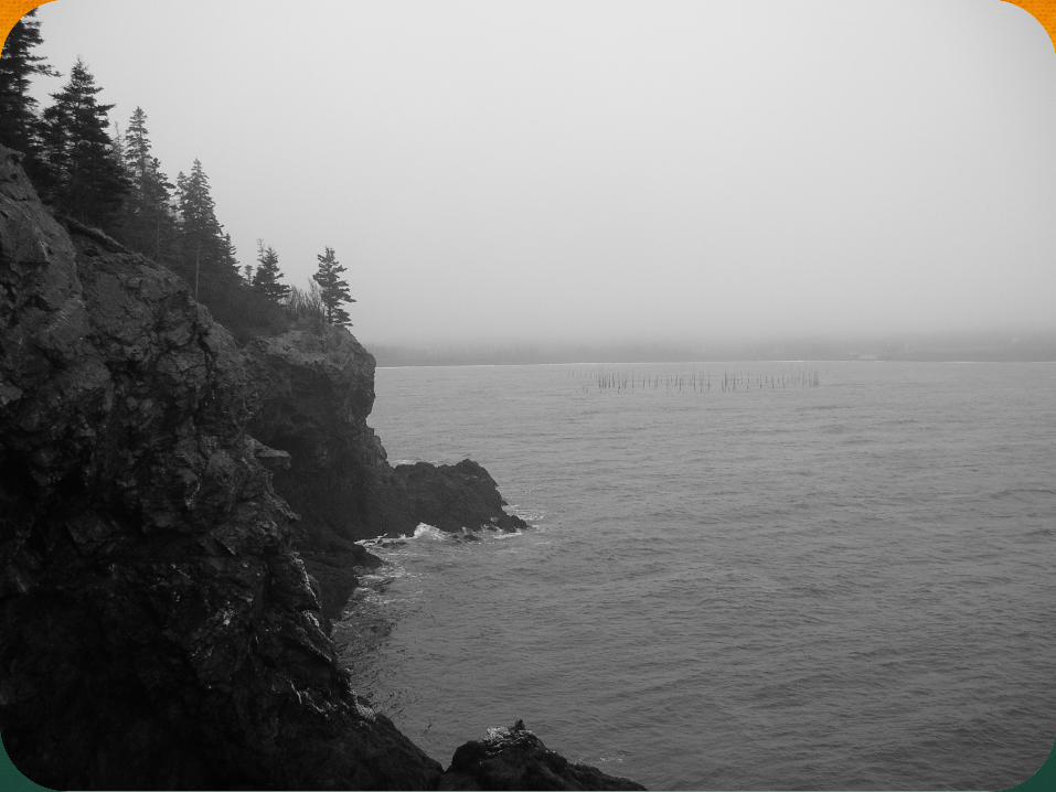
For each picture, write the region you think it is showing. Use “N” for northern Canada, “S” for southern Canada, “E” for the east coast and “W” for
the west coast.


CANADA’S LANDFORM REGIONS CGC1P – Ms. Percy

Canada’s Physical Diversity
� Canada has many different types of landforms
� Some of the landforms in Canada include:
- islands - prairies - mountains - shield - lowlands

Canada’s Physical Diversity
� There are THREE things we look at when we group landform regions:
1) Surface Shape – what does the shape of the land look like
2) Rock Type – what types of rock are in the region
3) Geologic Age – when the landforms were created

Canada’s Landform Regions
� Canada is made up of THREE main types of landforms:
1) Shield: The Canadian Shield is the LARGEST and OLDEST landform region
2) Highlands: Mountainous regions
3) Lowlands: Low lying regions

Canada’s Landform Regions
� Place the picture cards on the jumbo map based on what you think the land looks like in each region of the country.
� Compare your placement to the map on the next slide


Map Analysis
� Which region is the largest?
� What is our landform region called? How do you think it got its name?
� Which is the most northern landform? Western? Eastern?
� Why are the Rocky Mountains on the west coast jagged and sharp while the Appalachians on the east coast are round and smooth?
� Why are there no mountains in the middle of the country?

Profile of Southern Canada

Sketch It!
� Sketch the cross-section of southern Canada, as seen in Fig.1.22 on page 17, into your notebook
� You will use this for reference throughout the course

Landform Names
1. Look at activity 2.2 on pages 12-13 in the workbook. Make the same chart in your notebook.
2. Identify how each landform region got its name
3. Complete the landform region map. Use page 13 and follow these instructions:
1- Shade and label each landform region a different colour 2- Add symbols that show what landforms are found in each area. 3. Make a legend to show what the symbols mean. 4. Add a title, north arrow and your name