What is GIS? CONS 340 Lecture 1. Abstract concepts Goals Understand basic concepts of GIS design...
30
What is GIS? CONS 340 Lecture 1
-
date post
19-Dec-2015 -
Category
Documents
-
view
223 -
download
3
Transcript of What is GIS? CONS 340 Lecture 1. Abstract concepts Goals Understand basic concepts of GIS design...

What is GIS?
CONS 340Lecture 1

Abstract concepts Goals
Understand basic concepts of
GIS design Database
Development Cartographic
Modeling Prepared for
future coursework
Application Goals
Introduction, not GIS proficiency
Application of broader issues in lecture, through the software
Software utilized ArcGIS 10.1
ArcCatalog ArcMap ArcScene ArcGlobe
Lectures Labs
Course Organization

EvaluationTwo exams Final Exam is cumulative but
emphasizes the last half of class Lab Attendance is mandatory! Don’t fall behind – we have a lot of
ground to cover


Today’s Learning Objectives By the end of today’s class you
should be able to: Accept that GIS data is NOT reality Explain the five components of a GIS List the three main components of
geographic data Summarize what a GIS should be able
to do
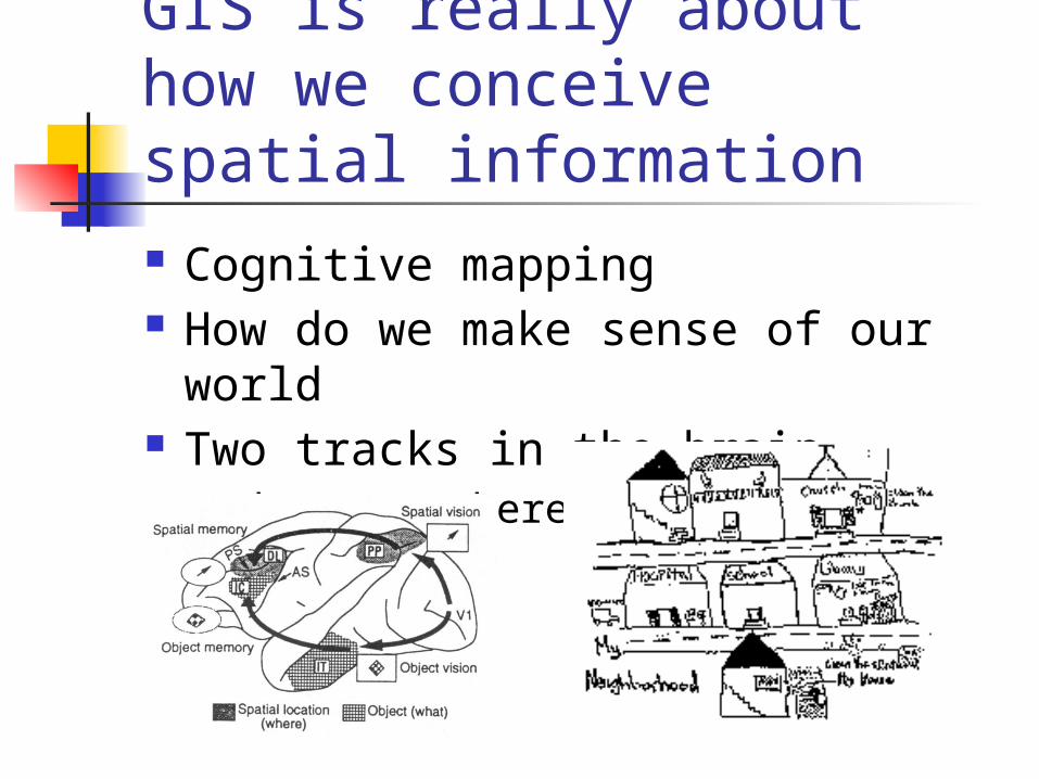
GIS is really about how we conceive spatial information Cognitive mapping How do we make sense of our
world Two tracks in the brain
What vs. Where

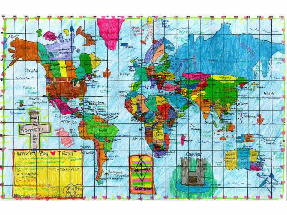


This include concepts as well
Coursesenroll inStudents
Programs
have
consist of

GIS concepts are not new!
In the London Cholera epidemic of 1854 Dr. John Snow was able to locate the source of a cholera outbreak by plotting the locations of fatal cases in relationship to nearby wells.
Cholera death
Water pump
+

The five components of GIS
People
Data
Hardware
Software
Procedures
www.esri.com

People Business
Banking and Insurance Media Real Estate Retail and Commercial Business
Communications Location Services Telecommunications
Defense and Intelligence Educators
Universities and Colleges K-12, Primary and Secondary Libraries and Museums
Engineering Pipeline Surveying
Environmental Management Archaeology Cave and Karst
Government Federal Government Homeland Security Law Enforcement Public Safety Local Government
Health and Human Services Natural Resources
Agriculture ESRI Conservation Program Forestry Marine and Coast Mining and Earth Sciences Petroleum
Sustainable Development and Humanitarian Affairs
Transportation Utilities
Electric and Gas Water/Wastewater

Hardware & Software
Hard
ware
Soft
ware

Procedures GIS analysis requires well-defined,
consistent methods to produce correct and reproducible results.
We will spend much of this course learning procedures

Data This is by far the most important
aspect of GIS Without data we can’t do anything! Approximate time breakdown of
most GIS projects: 80% = Database development 10% = Data analysis 10% = Cartographic production

The five components of GIS
www.esri.com

There are three main components to geographic data:
www.esri.com

GIS data is organized in Layers
www.esri.com

Database“ Not Easy to Interpret”

Visualization “Worth a Thousand Words”

What can a GIS do? A GIS should be able to:
Capture data Store data Query data Analyze data Display data Output data

Capturing Data Digitizing
Heads up Tablet
Scanning Tabular GPS Downloading

Storing Data

Querying Data
SELECT CntryName, PopCntry
FROM Countries WHERE
Landlocked=No ORDER BY
CntryName

Analyzing Data Proximity Overlay Etc.

Displaying Data Graphs Charts Tables Maps Etc.

Outputting Data
Sharing the results of your geographic labor is one of the primary justifications for spending resources on a GIS.

Questions?