What Is GIS?
44
What is GIS? AL – the GIS guy
-
Upload
allan-laframboise -
Category
Technology
-
view
34.620 -
download
2
description
This is presentation is intended for middle school students. It provides a short introduction to GIS and how to use GIS in the real-world. ArcGIS Explorer is the software used to demonstrate concepts. 45 minutes + 15 minutes demo Download ArcGIS Explorer here... http://www.esri.com/software/arcgis/explorer/
Transcript of What Is GIS?
What is GIS?
AL – the GIS guy
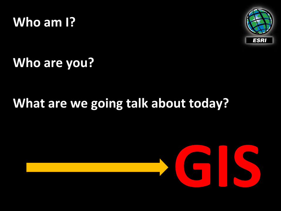
Who am I?
Who are you?
What are we going talk about today?
GIS
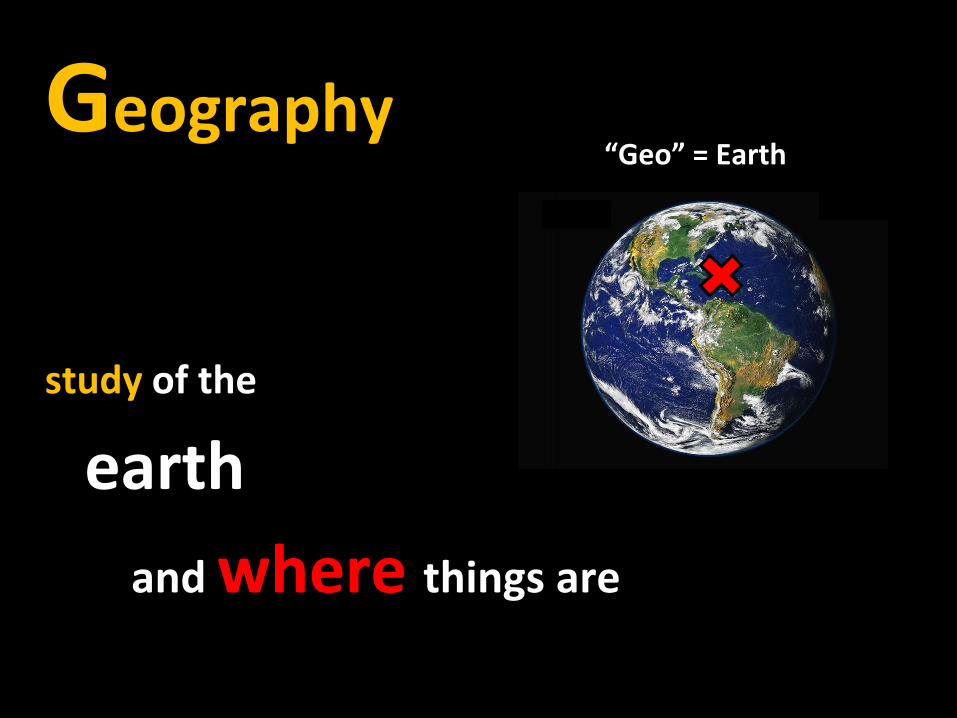
Geography
study of the
earth
and where things are
“Geo” = Earth

What is GIS?
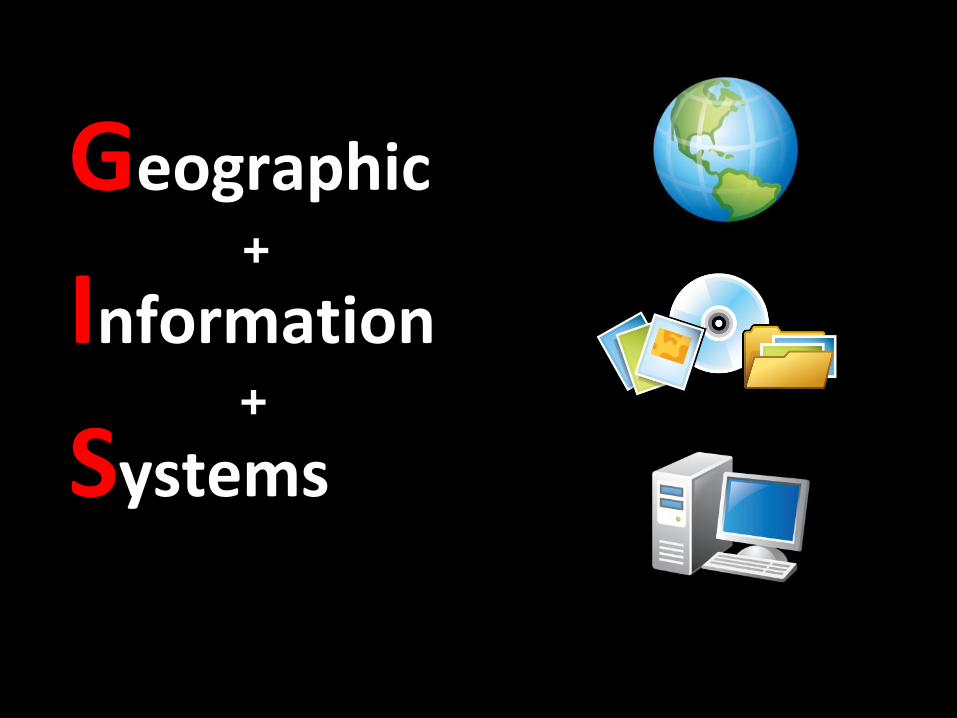
Geographic
Information
Systems
+
+
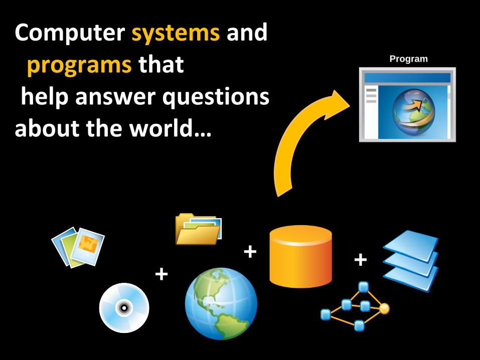
Computer systems and programs thathelp answer questionsabout the world…
++ +
Program

GIS
try to model
things on the
Earth

Use a process to build these models
Map
Decision
Making
Plan
Collect
More
Analyze
Store
Information
Visualize
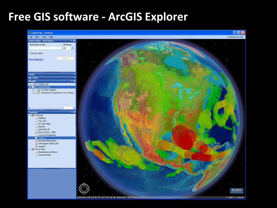
Free GIS software - ArcGIS Explorer
What can
we do
with GIS?
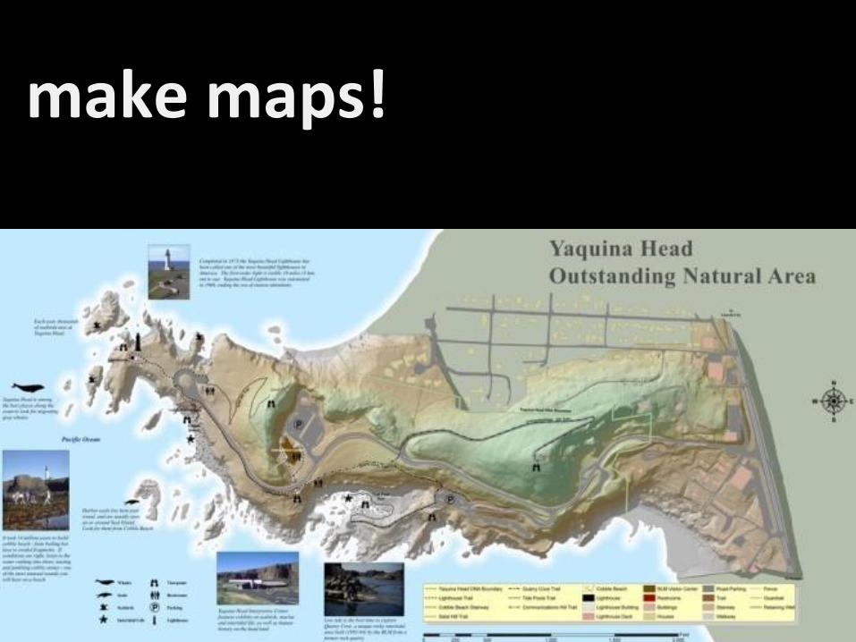
make maps!
UC 2008 Plenary 12
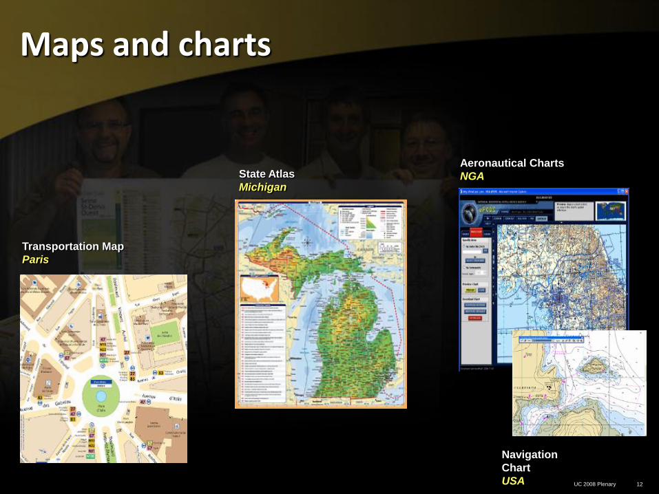
Maps and charts
Aeronautical Charts
NGAState Atlas
Michigan
Navigation
Chart
USA
Transportation Map
Paris
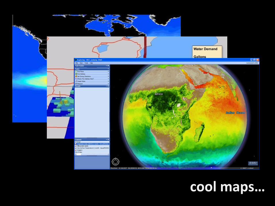
cool maps…
What else
can a
GIS do?
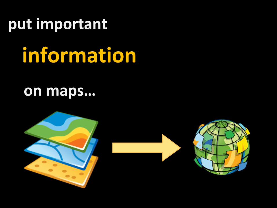
put important
information
on maps…

information = things in the real-world
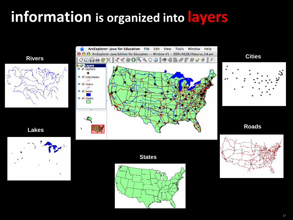
17
information is organized into layers
Rivers
Lakes
States
Roads
Cities

What else
can a
GIS do?
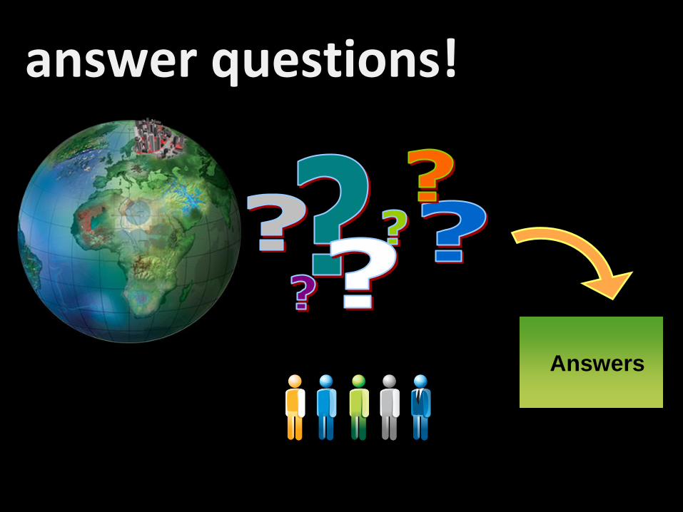
answer questions!
Answers
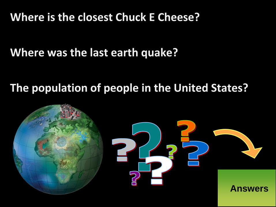
Where is the closest Chuck E Cheese?
Where was the last earth quake?
The population of people in the United States?
Answers
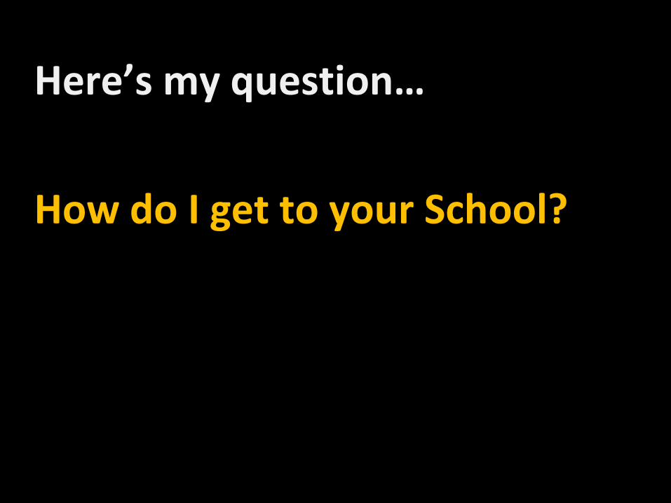
Here’s my question…
How do I get to your School?
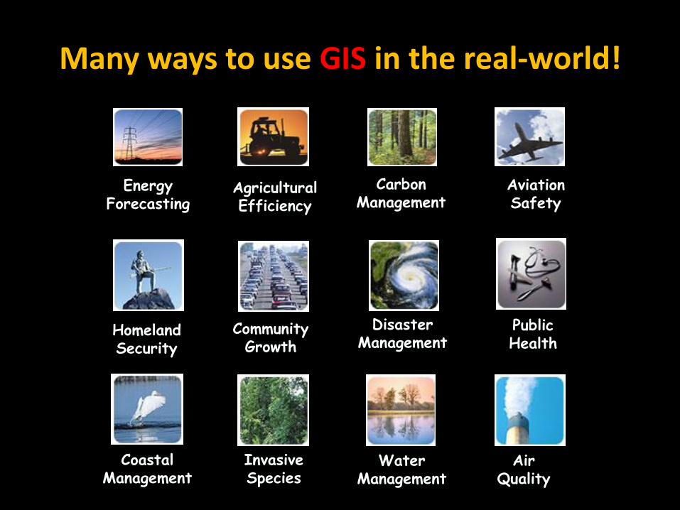
Many ways to use GIS in the real-world!
Disaster Management
Public Health
Community Growth
Homeland Security
Energy Forecasting
Agricultural Efficiency
Carbon Management
Aviation Safety
Coastal Management
Invasive Species
Water Management
Air Quality

What else
can a
GIS do?

UC 2008 Plenary 24
Help us plan
Land Use Suitability
Montana
Virtual City
BangkokCity & Urban Planning
California

UC 2008 Plenary 25
Manage the land
Native Land Selection
Alaska
Property Evaluation
Germany
Tax Mapping
Connecticut
Canada
Integrated Land Management
BLM
UC 2008 Plenary 26
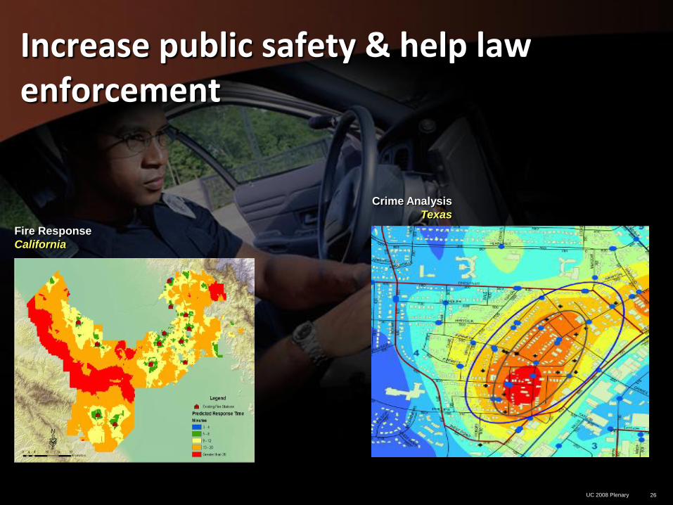
Increase public safety & help law enforcement
Fire Response
California
Crime Analysis
Texas
UC 2008 Plenary 27
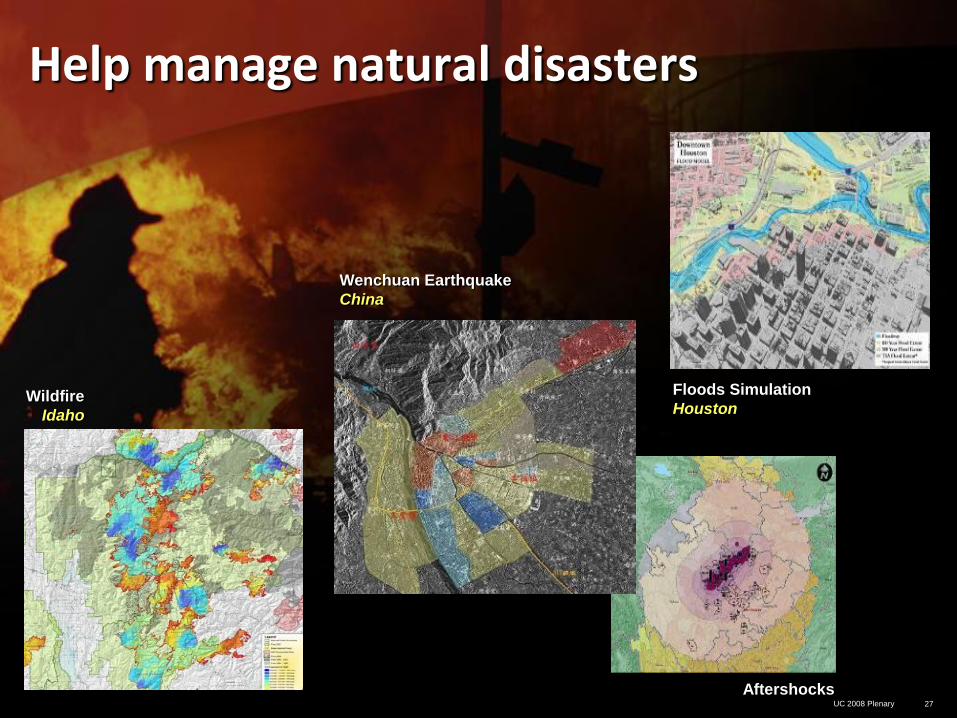
Help manage natural disasters
Floods Simulation
Houston Wildfire
Idaho
Wenchuan Earthquake
China
Aftershocks
UC 2008 Plenary 28
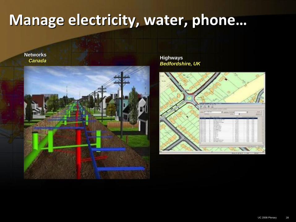
Manage electricity, water, phone…
Highways
Bedfordshire, UK
Networks
Canada
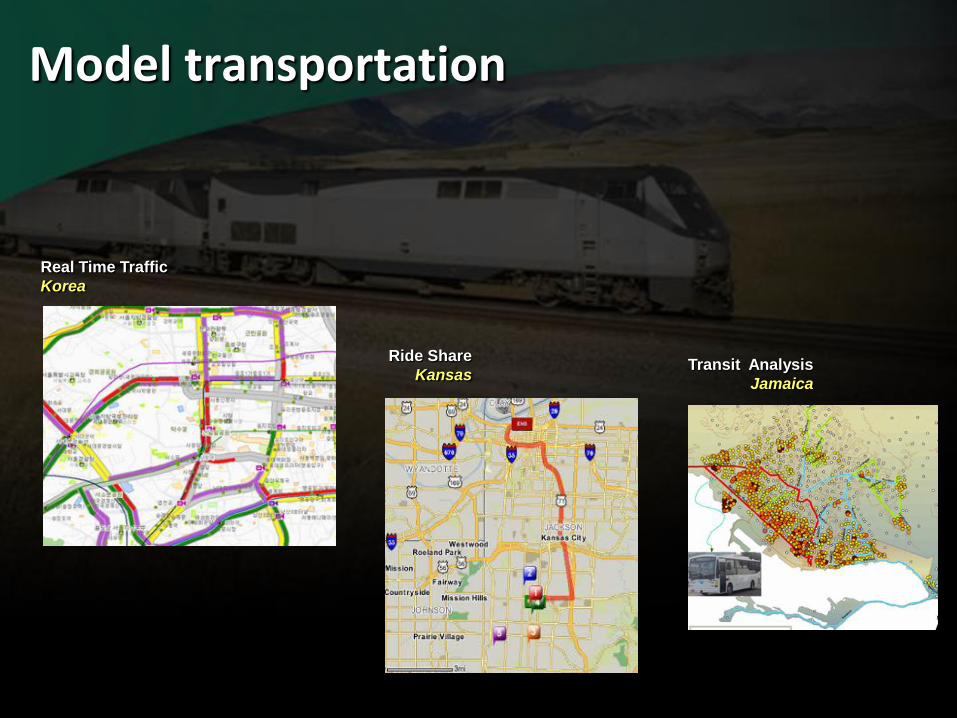
Model transportation
Real Time Traffic
Korea
Ride Share
KansasTransit Analysis
Jamaica
UC 2008 Plenary 30
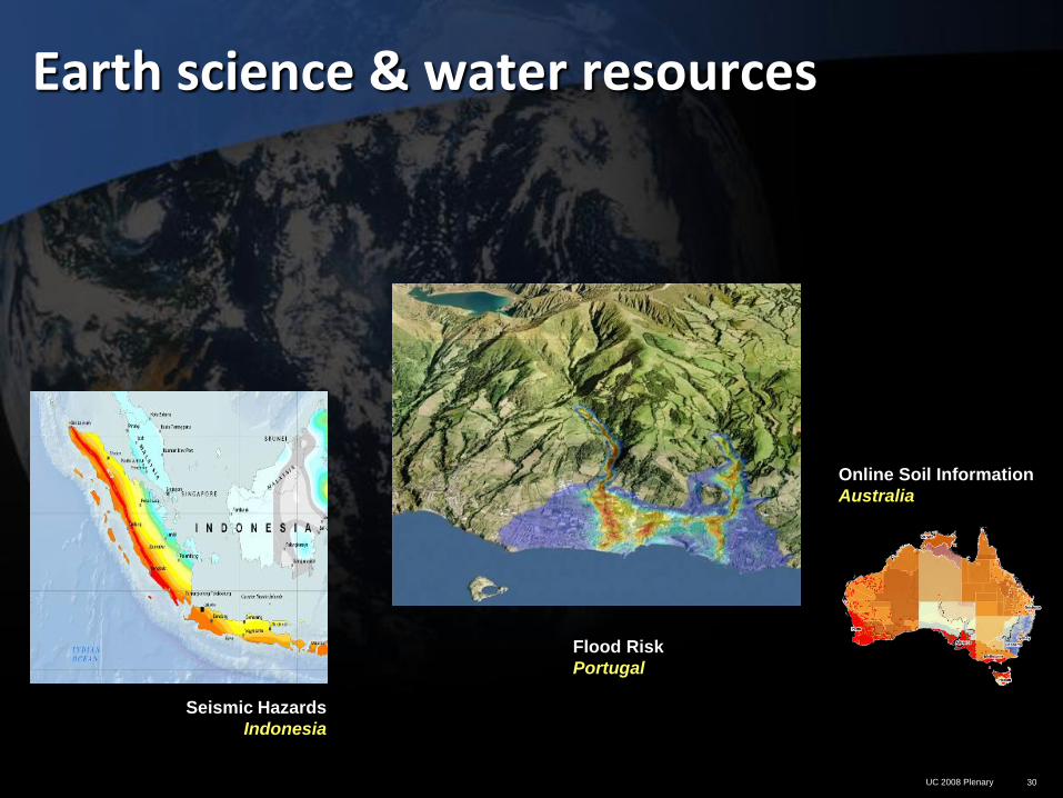
Earth science & water resources
Seismic Hazards
Indonesia
Online Soil Information
Australia
Flood Risk
Portugal
UC 2008 Plenary 31
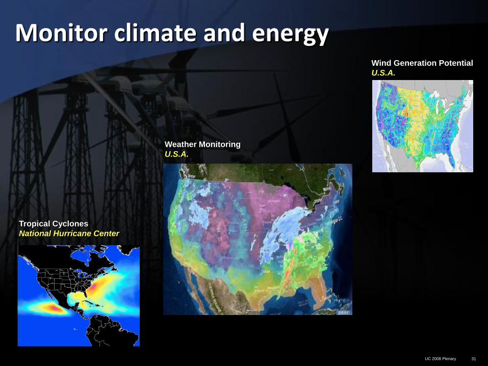
Monitor climate and energyWind Generation Potential
U.S.A.
Tropical Cyclones
National Hurricane Center
Weather Monitoring
U.S.A.
UC 2008 Plenary 32
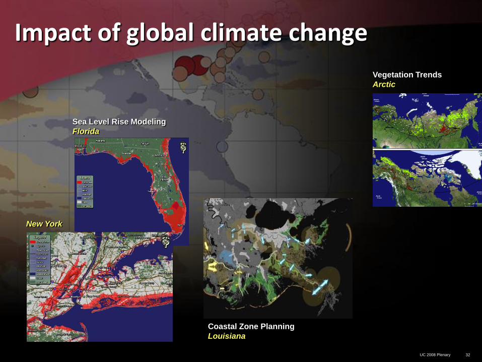
Impact of global climate change
New York
Coastal Zone Planning
Louisiana
Sea Level Rise Modeling
Florida
Vegetation Trends
Arctic
UC 2008 Plenary 33
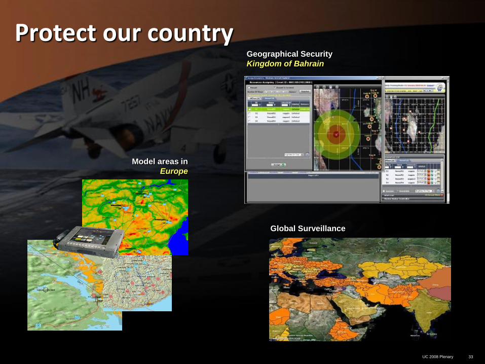
Protect our country
Global Surveillance
Model areas in
Europe
Geographical Security
Kingdom of Bahrain
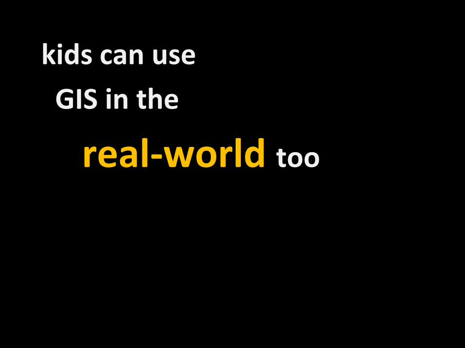
kids can use
GIS in the
real-world too
35
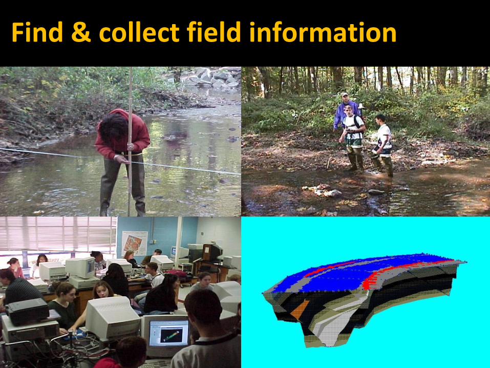
Find & collect field information

GPS – Where am I?
Longitude: 110 W
Global
Positioning
System
Latitude: 40 N

Who
uses
GPS?
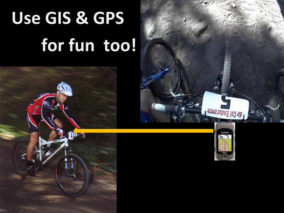
Use GIS & GPS
for fun too!
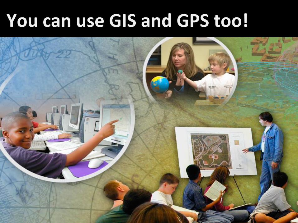
40
You can use GIS and GPS too!
41
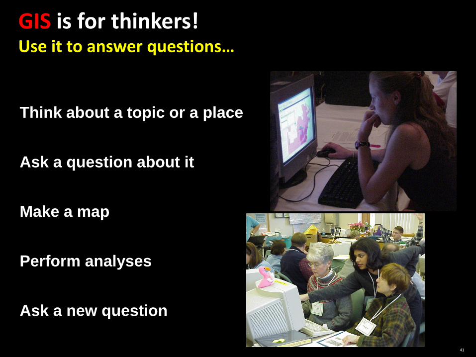
GIS is for thinkers! Use it to answer questions…
Think about a topic or a place
Ask a question about it
Make a map
Perform analyses
Ask a new question

Your turn!
1) Use ArcExplorer to find Los Angeles
2) Find your school
3) Drive/Fly to Disneyland
4) Find out what has changed over time?
Pop Quiz
1. What is your favorite part of GIS?
2. What does “Geo” stand for?
3. What can you do with GIS?
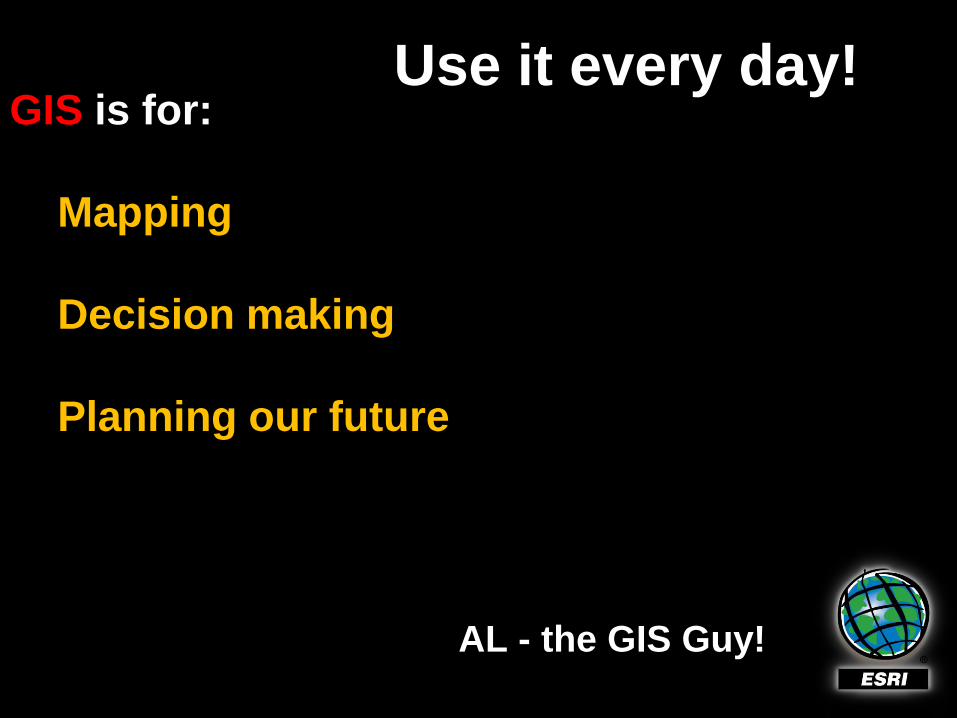
GIS is for:
Mapping
Decision making
Planning our future
AL - the GIS Guy!
Use it every day!