Current WGISS/CEOS GEO Tasks and Actions Pakorn Apaphant May 11, 2009 WGISS 27 Toulouse, France.
Upload
fay-charlesCategory
view
213download
0
WGISS and GEO Activities
Kathy FontaineNASA
March 13, 2007eGY
Boulder, CO

WGISS
• WGISS = Working Group on Information Systems and Services– Work includes
• Archive Task Team• Data Services Task Team• International Directory Network• ....
Archive Task Team
• Responsible for promoting and encouraging exchange and communication of archive and records management best practices between the members of WGISS.

ATT Activities
• Current Topics– Long-Term Archive Strategies or Policies – Archive Media, Data Formats – Storage/Backup Strategies – Digital Data Preservation or Recovery.
• Future topics may include– Agency Presentations on Data Migrations – Environmental Storage Standards – Copyright Issues – Physical Security Standards – Old Equipment Inventory – Analog/Film Data Preservation or Recovery.
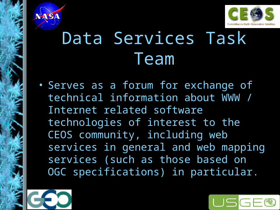
Data Services Task Team
• Serves as a forum for exchange of technical information about WWW / Internet related software technologies of interest to the CEOS community, including web services in general and web mapping services (such as those based on OGC specifications) in particular.

DSTT Activities
• IDN Services
• Product Visualizations Through Web Service Chaining
• ECHO Web Services
• Services for Agricultural Application
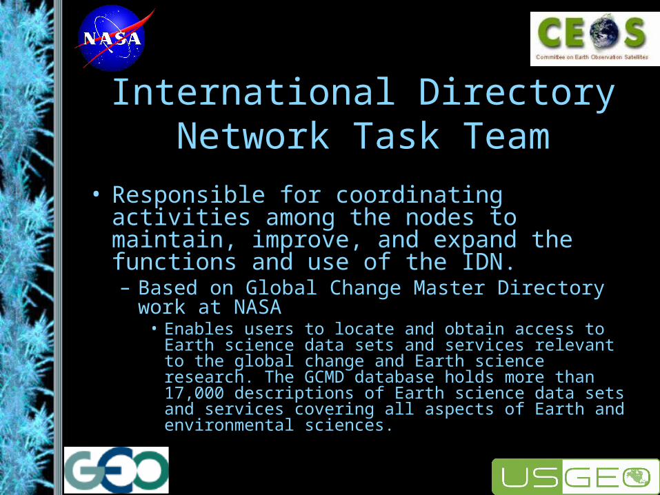
International Directory Network Task Team
• Responsible for coordinating activities among the nodes to maintain, improve, and expand the functions and use of the IDN. – Based on Global Change Master Directory work at
NASA• Enables users to locate and obtain access to Earth
science data sets and services relevant to the global change and Earth science research. The GCMD database holds more than 17,000 descriptions of Earth science data sets and services covering all aspects of Earth and environmental sciences.
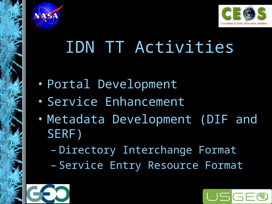
IDN TT Activities
• Portal Development
• Service Enhancement
• Metadata Development (DIF and SERF)– Directory Interchange Format– Service Entry Resource Format
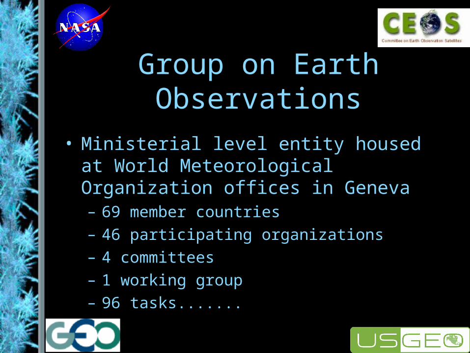
Group on Earth Observations
• Ministerial level entity housed at World Meteorological Organization offices in Geneva– 69 member countries– 46 participating organizations– 4 committees– 1 working group– 96 tasks.......

GEOSS
• ...to produce the Global Earth Observation System of Systems– Coordinated, comprehensive, sustained system of
existing systems– Emphasis on respecting/preserving existing
needs/agreements, use of international standards– System of systems architecture is critical to
success of GEOSS [as is ‘project management’ approach]
Activities
• Centered around the 96 tasks– 1/3 for Architecture and Data– 2/3 scattered between the other 4 areas– All based on some need to disseminate or
manipulate data for one or more societal benefit areas.
• Tasks cover many/all aspects of eGY
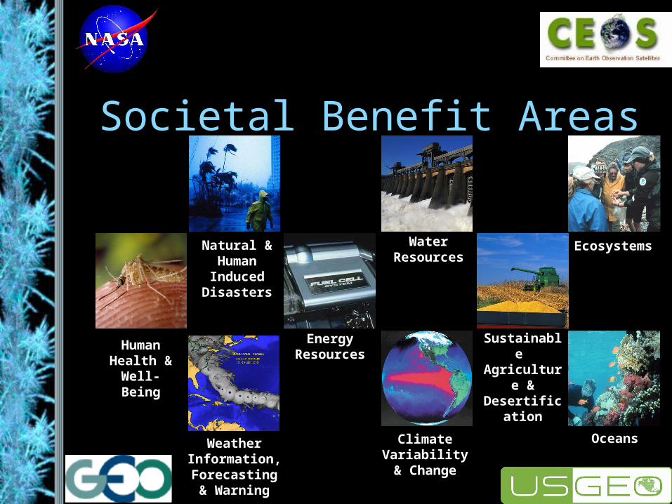
Societal Benefit Areas
Natural & Human Induced Disasters
Human Health &
Well-Being
Energy Resources
Climate Variability &
Change
Water Resources
Weather Information,
Forecasting & Warning
Ecosystems
Sustainable Agriculture & Desertification
Oceans
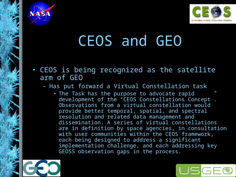
CEOS and GEO
• CEOS is being recognized as the satellite arm of GEO– Has put forward a Virtual Constellation task
• The Task has the purpose to advocate rapid development of the “CEOS Constellations Concept”. Observations from a virtual constellation would provide better temporal, spatial, and spectral resolution and related data management and dissemination. A series of virtual constellations are in definition by space agencies, in consultation with user communities within the CEOS framework, each being designed to address a significant implementation challenge, and each addressing key GEOSS observation gaps in the process.
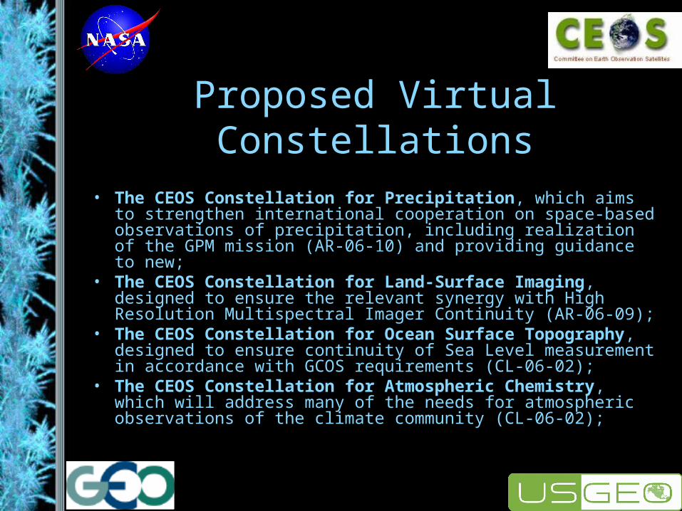
Proposed Virtual Constellations
• The CEOS Constellation for Precipitation, which aims to strengthen international cooperation on space-based observations of precipitation, including realization of the GPM mission (AR-06-10) and providing guidance to new;
• The CEOS Constellation for Land-Surface Imaging, designed to ensure the relevant synergy with High Resolution Multispectral Imager Continuity (AR-06-09);
• The CEOS Constellation for Ocean Surface Topography, designed to ensure continuity of Sea Level measurement in accordance with GCOS requirements (CL-06-02);
• The CEOS Constellation for Atmospheric Chemistry, which will address many of the needs for atmospheric observations of the climate community (CL-06-02);

WGISS and GEO
• WGISS has done an assessment of its work with respect to GEO tasks to identify possible areas for contribution.– Lots of possibility in the IDN area and in
the Projects and Applications Subgroup

Web Sites
• www.ceos.org
• wgiss.ceos.org
• earthobservations.org
• usgeo.gov