Web Gis Applications
42
WEB GIS APPLICATIONS M.A.NIVEETHA
-
Upload
chandrujae -
Category
Documents
-
view
165 -
download
3
Transcript of Web Gis Applications
WEB GIS
APPLICATIONS
M.A.NIVEETHA

At Cuddalore and Nagapattinam
State Planning Commission(SPC)
National Informatics Centre(NIC)
Objective:
Development and implementation of
standardized district and state level GIS
applications for planning and monitoring
processes in all the districts of Tamil nadu.

BASIC ISSUES Unutilized data sets.
No Update.
Mismatch .
Varied data formats.
Technology.
Security.
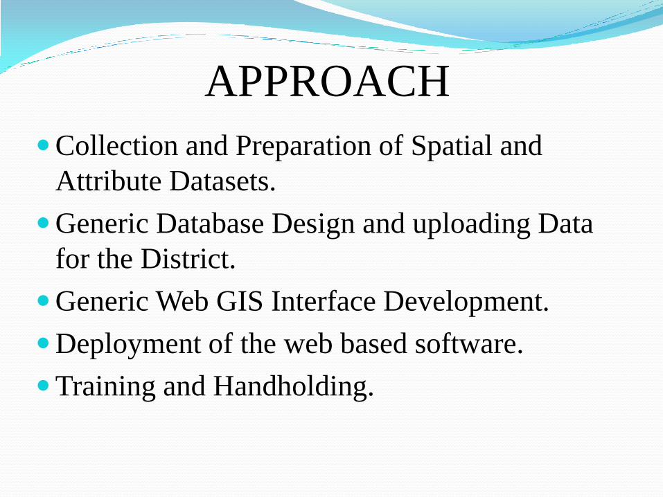
APPROACH
Collection and Preparation of Spatial and
Attribute Datasets.
Generic Database Design and uploading Data
for the District.
Generic Web GIS Interface Development.
Deployment of the web based software.
Training and Handholding.
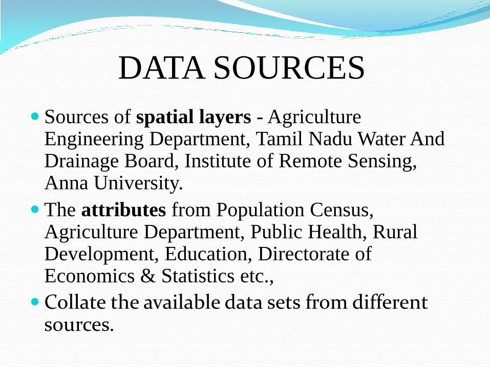
DATA SOURCES
Sources of spatial layers - Agriculture Engineering Department, Tamil Nadu Water And Drainage Board, Institute of Remote Sensing, Anna University.
The attributes from Population Census, Agriculture Department, Public Health, Rural Development, Education, Directorate of Economics & Statistics etc.,
Collate the available data sets from different sources.


GENERIC DATABASE DESIGN
PostgreSQL.
PostGIS.
Querying and thematic mapping.
The corrected Spatial Layers in the form of ESRI Shape File format has been imported.

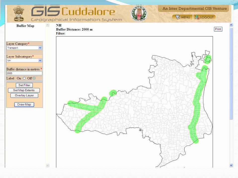
GENERIC WEBGIS INTERFACE
DEVELOPMENT Map server.
PHP as scripting language.
Query module.
Buffer provision.
Spatial search.
Authentication.
Updation.

EXPECTED OUTCOME Up to date output.
Can add more parameters for thematic
mapping.
No fresh digitization.
More flexible map making interface.
PDF output.
Application and Research of
Web GIS in Fire
Command Information
System

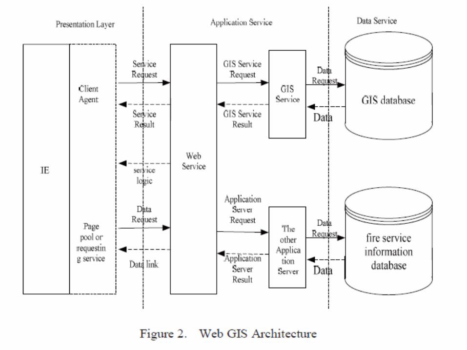
FIRE COMMAND
INFORMATION SYSTEM
Emergency call reception and handling system.
Information query system.
Decision system.
Real time monitoring.

KEY TECHNOLOGIES Fire electronic map.
Data map editor and information.
Many requests and asynchronous access.
Best path.
STEPS INVOLVED Identify the place.
Fire site information.
Warning of channel fire nearby residents.
Transportation network.
Navigation- GPS.
Site conditions and historical data.

WEB ENABLED OPEN
SOURCE GIS
BASED TOURIST
INFORMATION
SYSTEM

Study area- Bhopal.
Data collected:
Spatial data:
Survey of India, Cartosat-1 Satellite
image, Google maps.
Attribute data:
M.P. Tourism office, Bhopal
Gazetteer, Govt. Press, Central Library,
Town and Country Planning.


METHODOLOGY Creation of GIS Database:
Collecting Data
Digitizing Data
Integrating and processing GIS Data and Setting up a Website.
Creation of GIS data in QGIS.
Creating a website for publishing the GIS data on web(www.bhopaltouristinfo.com).
Creation and Uploading Map Server data.

GEO REFERENCED AND
DIGITED DATA

ATTRIBUTE TABLE

GIS data displayed in the website
with the help of MAP server

NETWORK ANALYSIS

RESULT For Tourist database, GIS is an efficient tool
for the cost effective collection, storage and
analysis tasks.
The Map Server software provides a efficient
environment for the tourism industry.
This can be very helpful in the promotion of
tourism in India.

The Application of Web-based
GIS to Assess Water
Quality in Michigan
EMU(EASTERN MICHIGAN UNIVERSITY)
Institute for Geospatial Research and
Education(IGRE) and RESA(Regional
Education Service Agency).
View and map water quality samples.
PROJECTION: Michigan georeference.
STUDY AREA:
Urban Rouge river watershed.

ARCHITECTURE SERVER SIDE:
Web server.
Data base server.
Multi media data server.
FTP server.
Back up server.

User only needs browser.
Administrator – manage data through LAN.
Firewall is configured based on a set of rules.
3 tier architecture-
Client layer, application server layer and data
server layer.


DATA
COLLECTION
Perform sample selections.
Plot latitude and longitude coordinates.
Manage the data involved.
GPS application module.
Upload multimedia data.

RESULT Developed for education program.
Helps the students and teachers in computing
watershed at Michigan.

Web-based Support
Coordination by Using
WIDIS- Chuesu -oki
Earthquake

Happened in Niigara Prefecture, central part of
Japan on July 16, 2007.
Making daily reports on the activity and
disclosing information by using WIDIS.
Building and updating database for affected
houses.
Coordination activities of volunteers to the
disaster victims.
ACTIVITIES INVOLVED Making daily reports on the activities of disaster
assisting volunteers then updating homepages of WIDIS.
Coordinating volunteer workers by using G-WIDIS.
Store and analysis of needs of the disaster victims by using G-WIDIS.


G-WIDIS
System is designed to share information
between each body of public disaster related
public administration, private sector and
volunteer body.
Denshi Kokudo Web System (DKWS).
PHP and Java script.
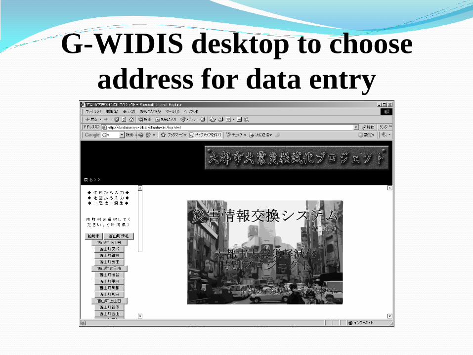
G-WIDIS desktop to choose
address for data entry

Automatically generated desktop
for data share by G-WIDIS

Acquisition of on site information

REFERENCES Decentralized Governance through GIS A case study for
Cuddalore District of Tamil Nadu
Application and Research of Web GIS in Fire Command
Information System-Ying-xing LI
WEB ENABLED OPEN SOURCE GIS BASED TOURIST
INFORMATION SYSTEM FOR BHOPAL CITY -Sreejit S. Nair.
The Application of Web-based GIS and GPS Technology to
Assess Water Quality in Michigan
Web-based Support Coordination by Using WIDIS-Case Study
of Chuesu-oki Earthquake in 2007 - Nobuhiro SAWANO,
Tsuyoshi HOSHIKAWA, Takayuki OBATA.


![[PPT]GIS Tutorial 1 - Basic Workbook - South Broward High …southbrowardreefdogs.com/resources/PPT_Lectures/Lecture1... · Web viewOutline GIS overview GIS data and layers GIS applications](https://static.fdocuments.us/doc/165x107/5b0762277f8b9a93418e1e82/pptgis-tutorial-1-basic-workbook-south-broward-high-viewoutline-gis-overview.jpg)