Urban Transportation Planning Introduction to Metropolitan Transportation Planning.
55
Urban Transportation Planning Introduction to Metropolitan Transportation Planning
-
Upload
wesley-johnson -
Category
Documents
-
view
227 -
download
1
Transcript of Urban Transportation Planning Introduction to Metropolitan Transportation Planning.
Urban Transportation Planning
Introduction to Metropolitan Transportation Planning
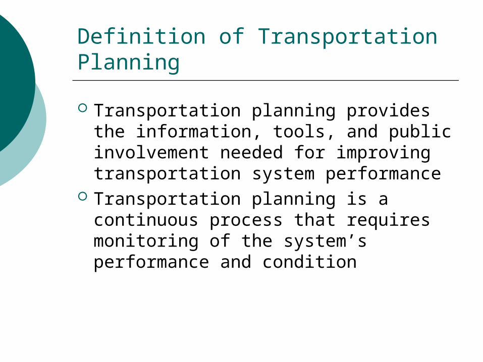
Definition of Transportation Planning
Transportation planning provides the information, tools, and public involvement needed for improving transportation system performance
Transportation planning is a continuous process that requires monitoring of the system’s performance and condition
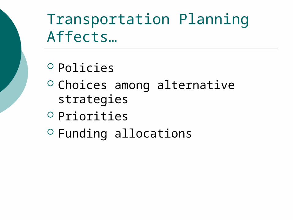
Transportation Planning Affects…
Policies Choices among alternative
strategies Priorities Funding allocations
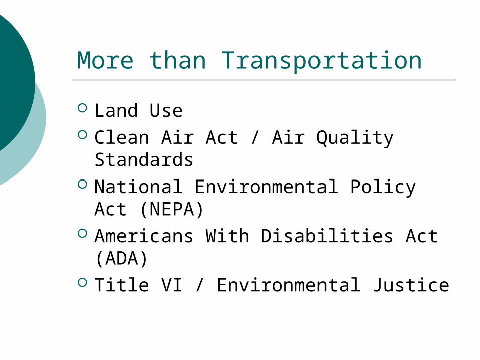
More than Transportation
Land Use Clean Air Act / Air Quality Standards National Environmental Policy Act
(NEPA) Americans With Disabilities Act
(ADA) Title VI / Environmental Justice
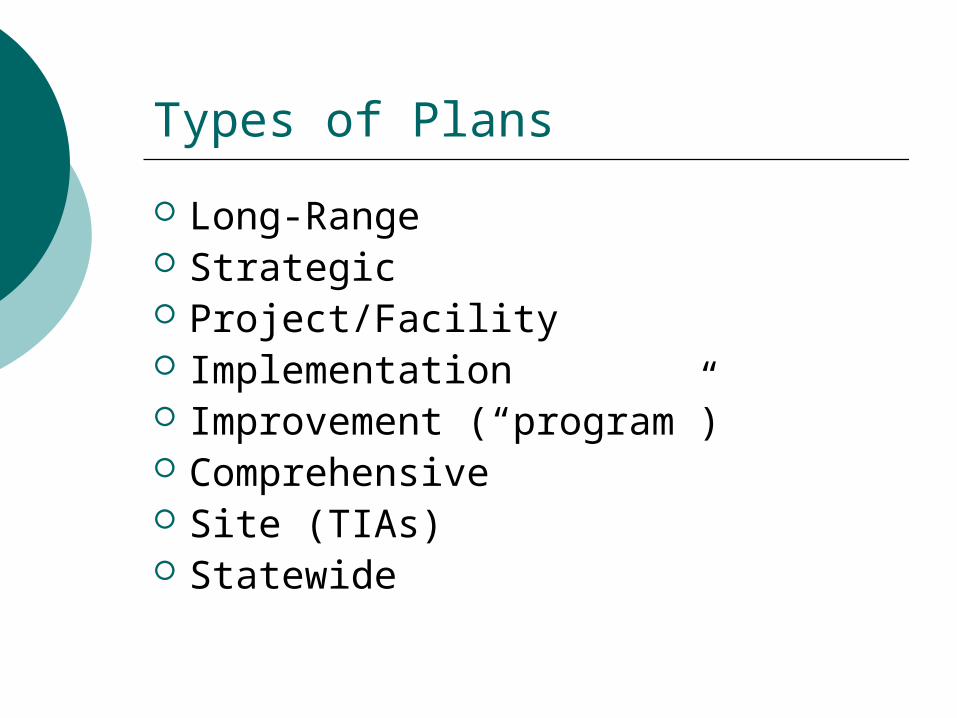
Types of Plans
Long-Range Strategic Project/Facility Implementation Improvement (“program”) Comprehensive Site (TIAs) Statewide
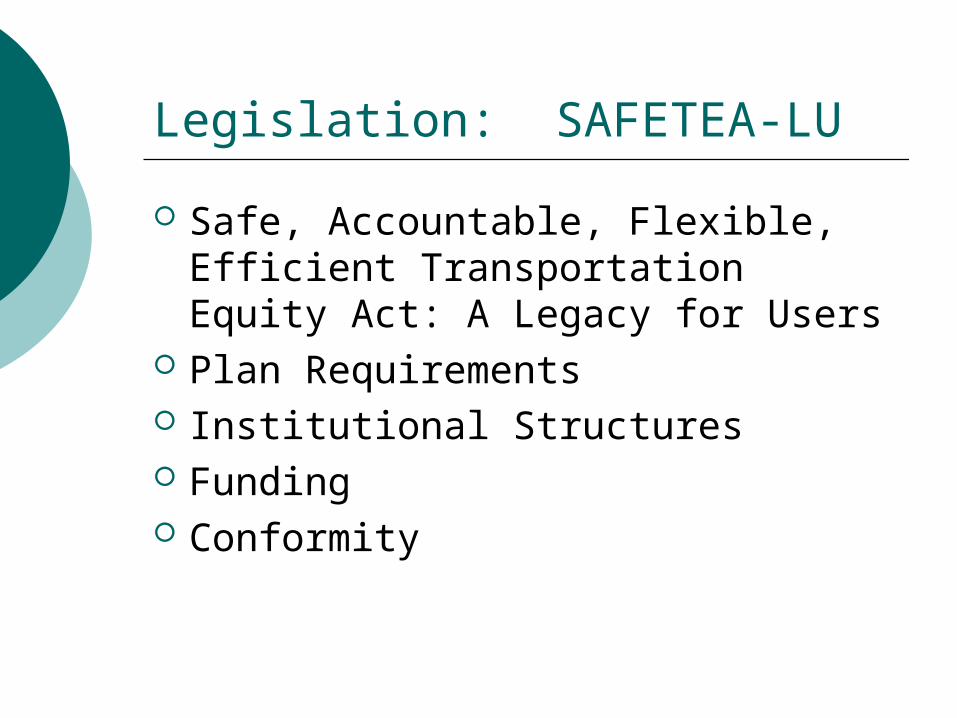
Legislation: SAFETEA-LU
Safe, Accountable, Flexible, Efficient Transportation Equity Act: A Legacy for Users
Plan Requirements Institutional Structures Funding Conformity
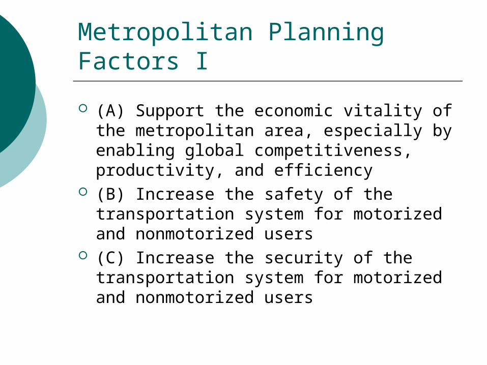
Metropolitan Planning Factors I
(A) Support the economic vitality of the metropolitan area, especially by enabling global competitiveness, productivity, and efficiency
(B) Increase the safety of the transportation system for motorized and nonmotorized users
(C) Increase the security of the transportation system for motorized and nonmotorized users
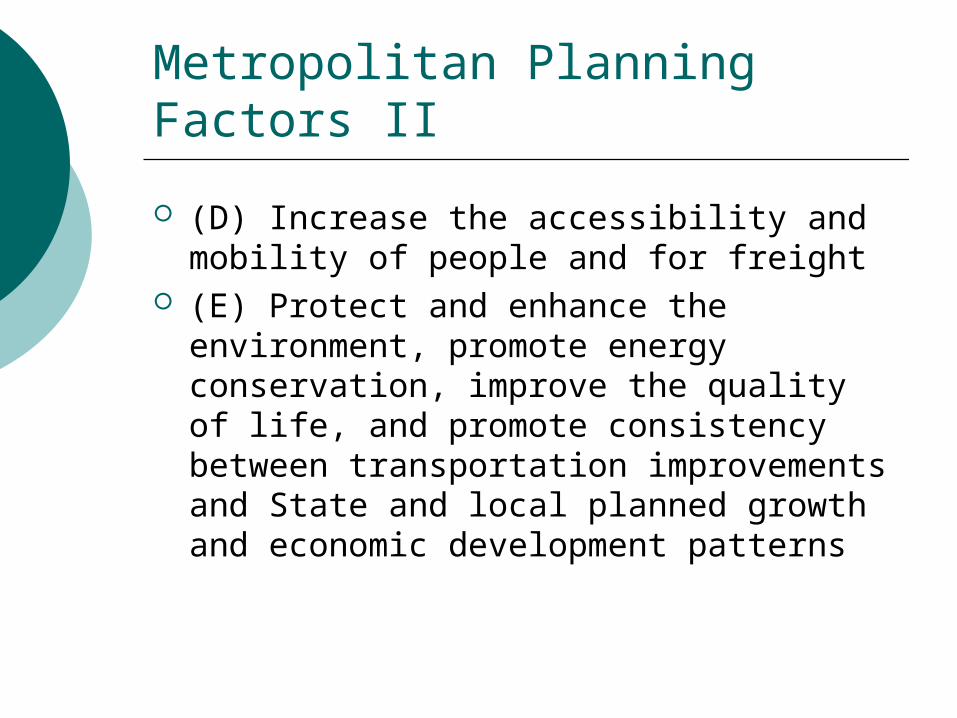
Metropolitan Planning Factors II
(D) Increase the accessibility and mobility of people and for freight
(E) Protect and enhance the environment, promote energy conservation, improve the quality of life, and promote consistency between transportation improvements and State and local planned growth and economic development patterns
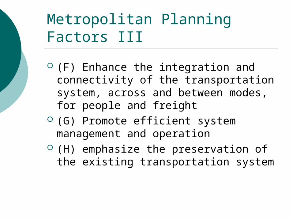
Metropolitan Planning Factors III
(F) Enhance the integration and connectivity of the transportation system, across and between modes, for people and freight
(G) Promote efficient system management and operation
(H) emphasize the preservation of the existing transportation system
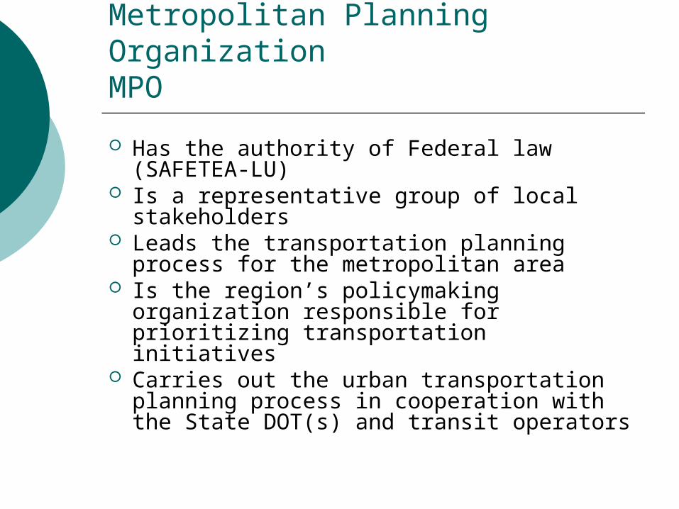
Metropolitan Planning OrganizationMPO
Has the authority of Federal law (SAFETEA-LU)
Is a representative group of local stakeholders
Leads the transportation planning process for the metropolitan area
Is the region’s policymaking organization responsible for prioritizing transportation initiatives
Carries out the urban transportation planning process in cooperation with the State DOT(s) and transit operators
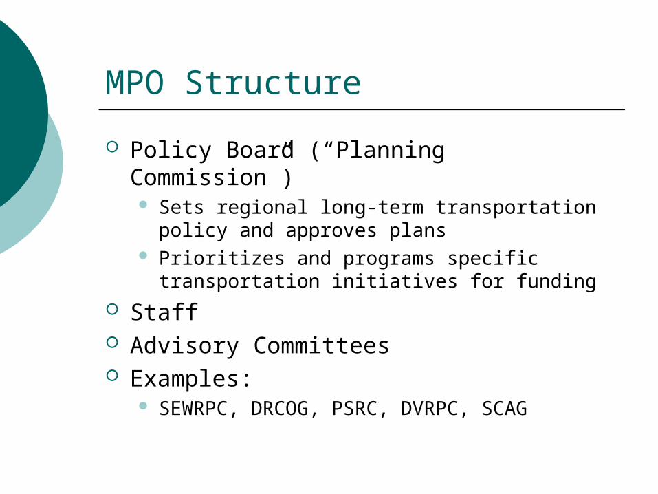
MPO Structure
Policy Board (“Planning Commission”) Sets regional long-term transportation policy
and approves plans Prioritizes and programs specific transportation
initiatives for funding Staff Advisory Committees Examples:
SEWRPC, DRCOG, PSRC, DVRPC, SCAG
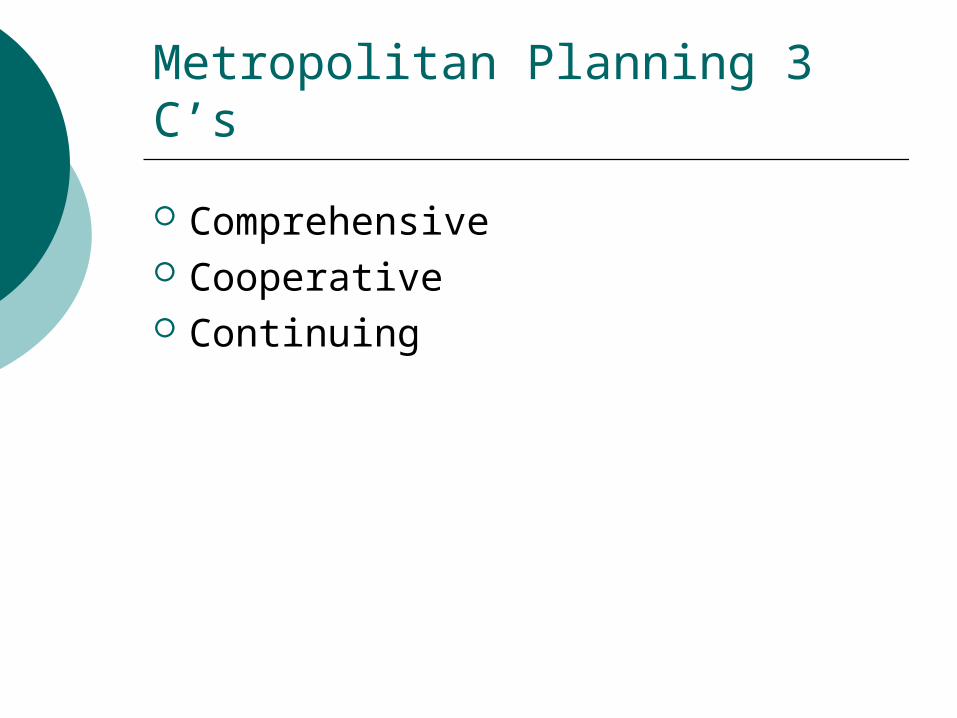
Metropolitan Planning 3 C’s
Comprehensive Cooperative Continuing
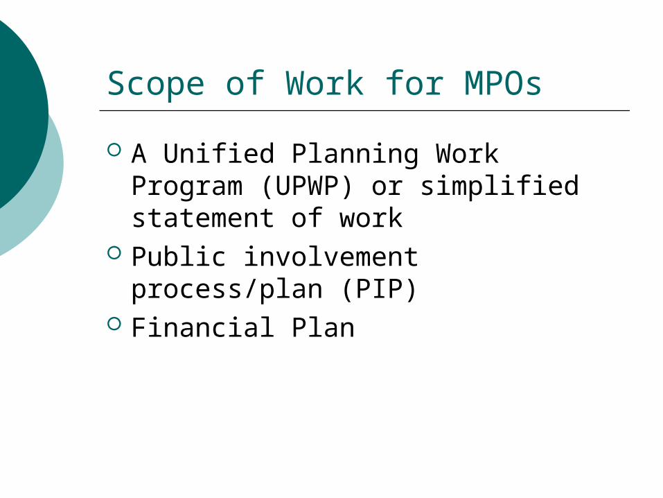
Scope of Work for MPOs
A Unified Planning Work Program (UPWP) or simplified statement of work
Public involvement process/plan (PIP)
Financial Plan
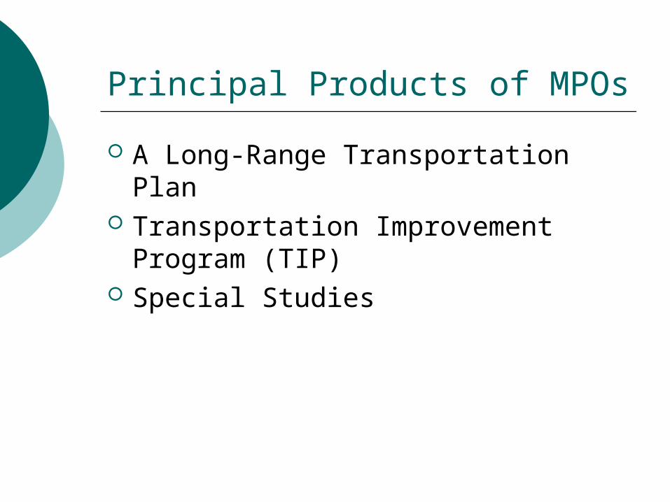
Principal Products of MPOs
A Long-Range Transportation Plan Transportation Improvement
Program (TIP) Special Studies
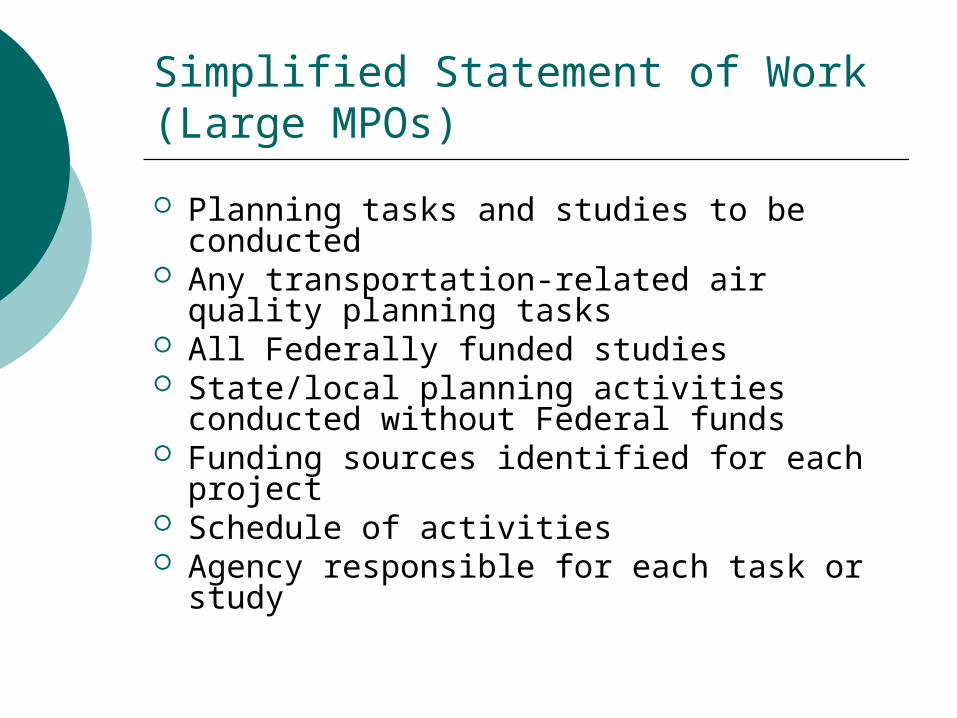
Simplified Statement of Work (Large MPOs)
Planning tasks and studies to be conducted
Any transportation-related air quality planning tasks
All Federally funded studies State/local planning activities conducted
without Federal funds Funding sources identified for each
project Schedule of activities Agency responsible for each task or study
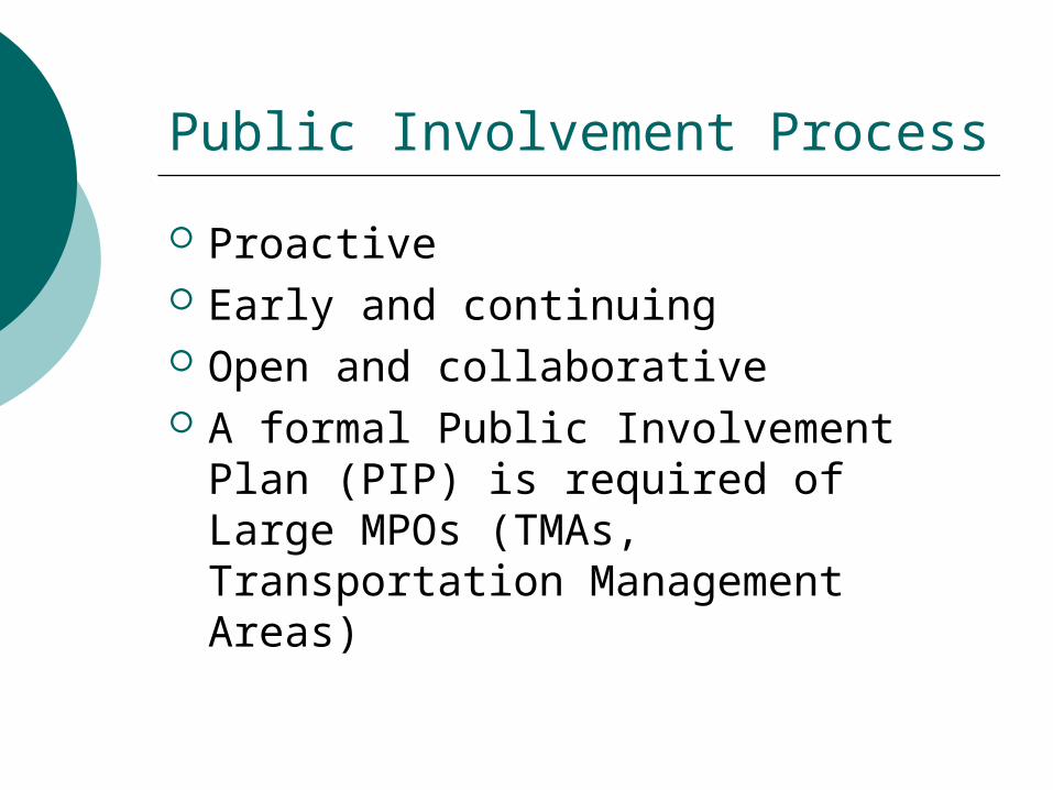
Public Involvement Process
Proactive Early and continuing Open and collaborative A formal Public Involvement Plan
(PIP) is required of Large MPOs (TMAs, Transportation Management Areas)
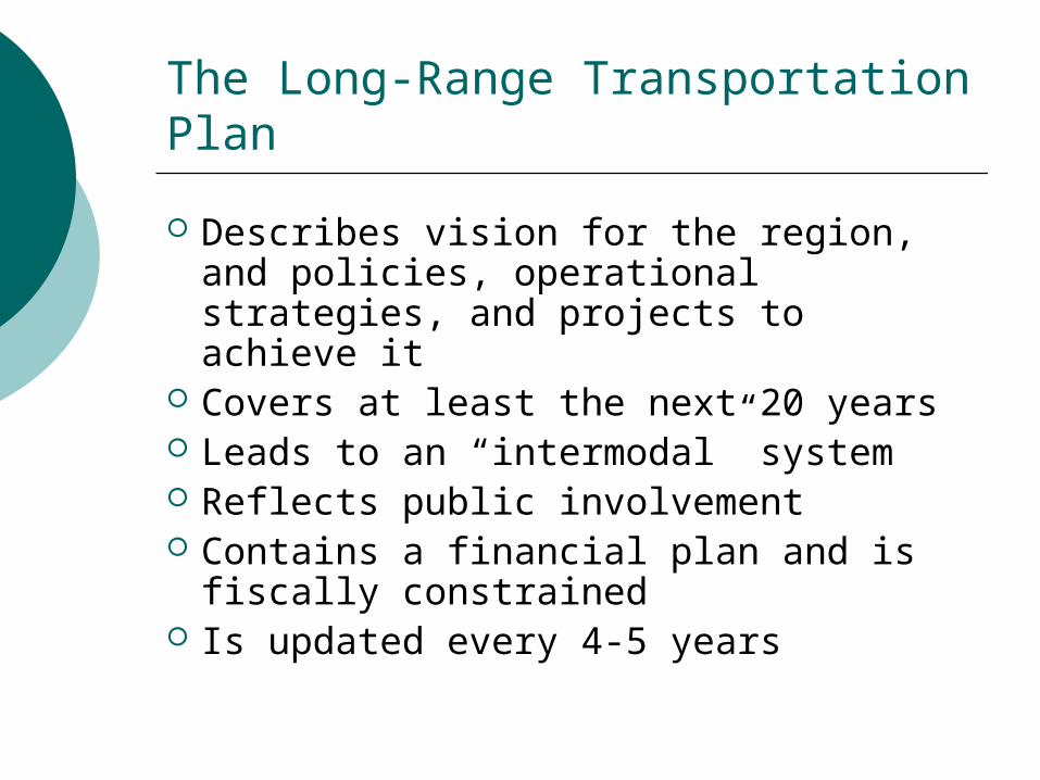
The Long-Range Transportation Plan
Describes vision for the region, and policies, operational strategies, and projects to achieve it
Covers at least the next 20 years Leads to an “intermodal” system Reflects public involvement Contains a financial plan and is
fiscally constrained Is updated every 4-5 years
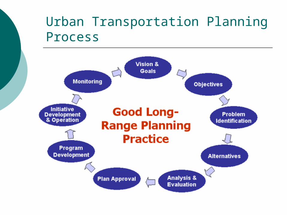
Urban Transportation Planning Process
Southeastern Wisconsin Regional Planning Commission
http://www.sewrpc.org/
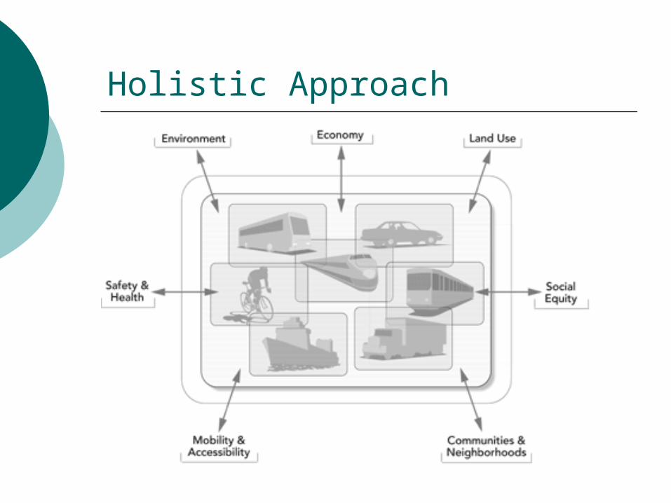
Holistic Approach
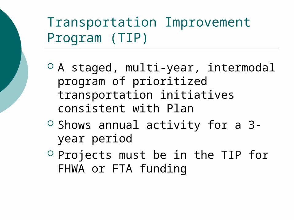
Transportation Improvement Program (TIP)
A staged, multi-year, intermodal program of prioritized transportation initiatives consistent with Plan
Shows annual activity for a 3-year period
Projects must be in the TIP for FHWA or FTA funding
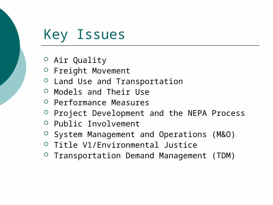
Key Issues
Air Quality Freight Movement Land Use and Transportation Models and Their Use Performance Measures Project Development and the NEPA Process Public Involvement System Management and Operations (M&O) Title V1/Environmental Justice Transportation Demand Management (TDM)
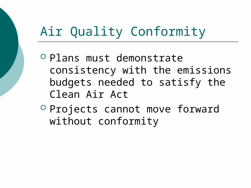
Air Quality Conformity
Plans must demonstrate consistency with the emissions budgets needed to satisfy the Clean Air Act
Projects cannot move forward without conformity
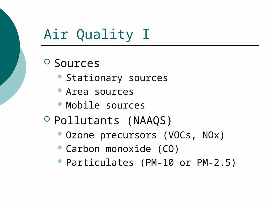
Air Quality I
Sources Stationary sources Area sources Mobile sources
Pollutants (NAAQS) Ozone precursors (VOCs, NOx) Carbon monoxide (CO) Particulates (PM-10 or PM-2.5)
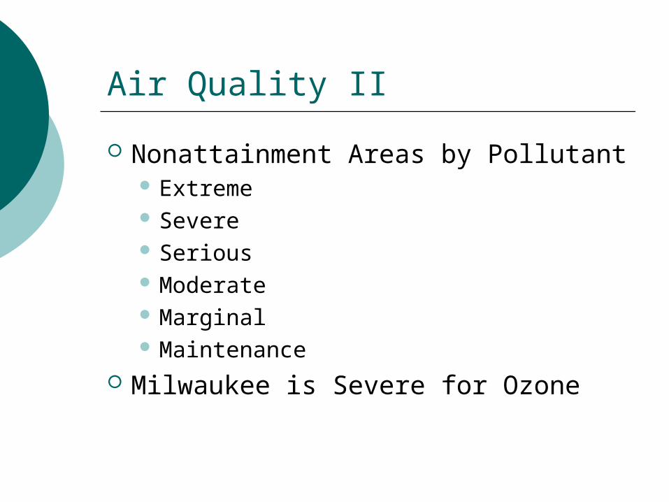
Air Quality II
Nonattainment Areas by Pollutant Extreme Severe Serious Moderate Marginal Maintenance
Milwaukee is Severe for Ozone
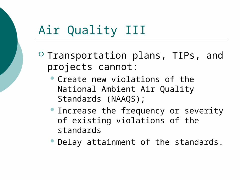
Air Quality III
Transportation plans, TIPs, and projects cannot: Create new violations of the National
Ambient Air Quality Standards (NAAQS);
Increase the frequency or severity of existing violations of the standards
Delay attainment of the standards.
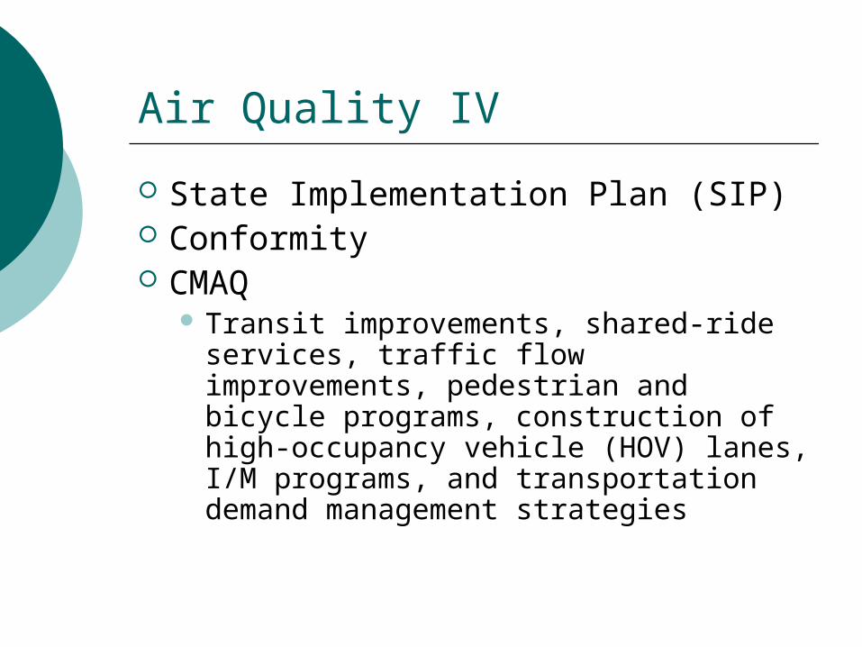
Air Quality IV
State Implementation Plan (SIP) Conformity CMAQ
Transit improvements, shared-ride services, traffic flow improvements, pedestrian and bicycle programs, construction of high-occupancy vehicle (HOV) lanes, I/M programs, and transportation demand management strategies
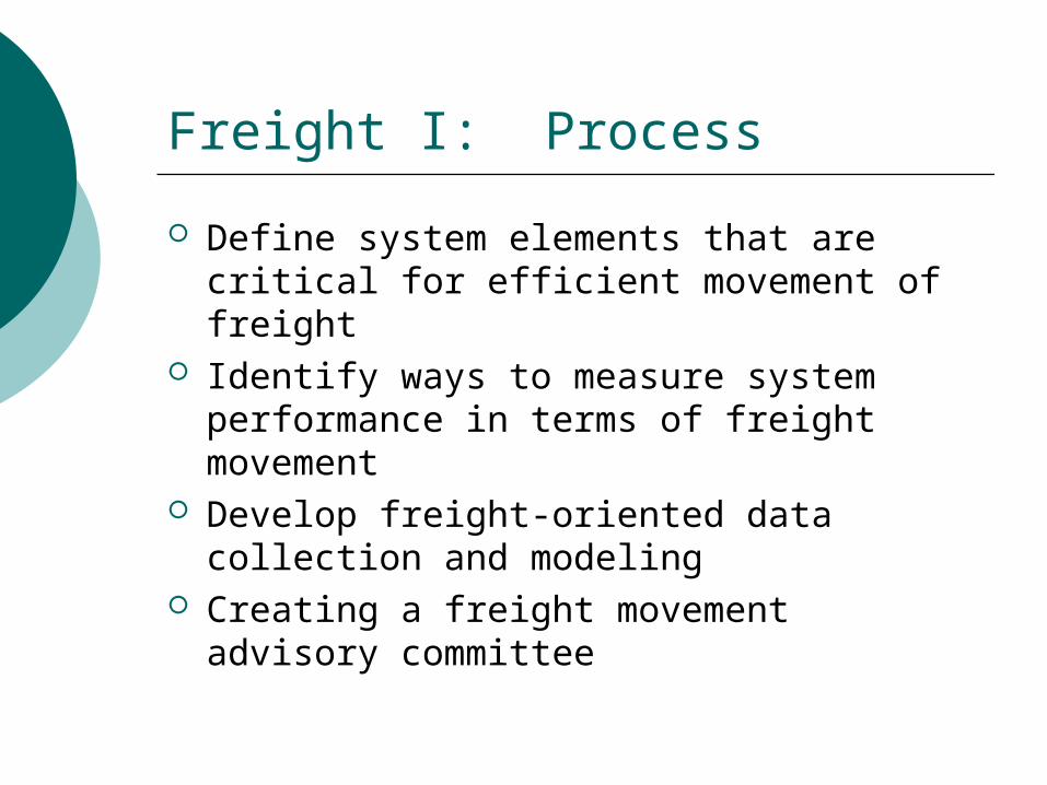
Freight I: Process
Define system elements that are critical for efficient movement of freight
Identify ways to measure system performance in terms of freight movement
Develop freight-oriented data collection and modeling
Creating a freight movement advisory committee
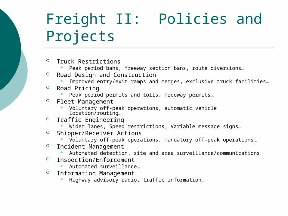
Freight II: Policies and Projects
Truck Restrictions Peak period bans, freeway section bans, route diversions…
Road Design and Construction Improved entry/exit ramps and merges, exclusive truck facilities…
Road Pricing Peak period permits and tolls, freeway permits…
Fleet Management Voluntary off-peak operations, automatic vehicle location/routing…
Traffic Engineering Wider lanes, Speed restrictions, Variable message signs…
Shipper/Receiver Actions Voluntary off-peak operations, mandatory off-peak operations…
Incident Management Automated detection, site and area surveillance/communications
Inspection/Enforcement Automated surveillance…
Information Management Highway advisory radio, traffic information…
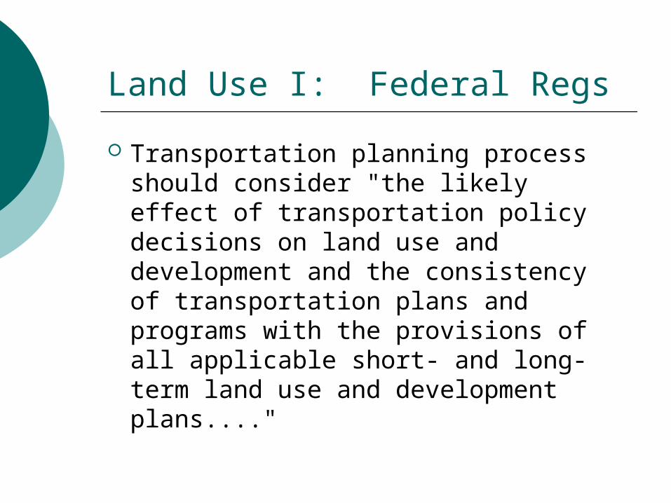
Land Use I: Federal Regs
Transportation planning process should consider "the likely effect of transportation policy decisions on land use and development and the consistency of transportation plans and programs with the provisions of all applicable short- and long-term land use and development plans...."
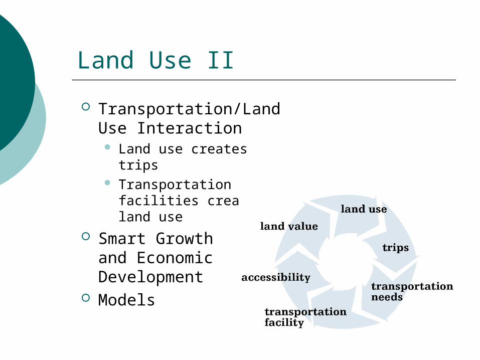
Land Use II
Transportation/Land Use Interaction Land use creates trips Transportation facilities
create land use Smart Growth
and Economic Development
Models
Travel Forecasting Models
A travel forecasting model is the major analysis tool for evaluating urban transportation plans and conducting conformity analysis
Travel Models: Four Steps?
(Activity Allocation) Trip Generation Trip Distribution Mode Split Traffic Assignment (Measures of Effectiveness) (Impact Models)
Performance Measures I
Accessibility Percent population within "x" minutes of "y"
percent of employment sites Access by elderly Quality of ADA compliance
Mobility Average travel time Change in average travel time Average trip length Percentage of trips per mode Time lost to congestion Percent on-time transit performance
Performance Measures II
Economic development Jobs created New housing starts Percent of region's unemployed who cite lack
of transportation as principal barrier Economic cost of congestion
Environmental quality of life Environmental and resource consumption Tons of pollution generated Fuel consumption
Performance Measures III
Sprawl Change in difference between urban
and suburban household densities; decrease in wetlands; changes in air quality, land use, or mobility.
Safety Number of crash incidents or economic
costs of crashes
National Environmental Policy Act of 1969 (NEPA)
It is the policy of the US government to protect the environment
Environmental Impact Statements Environmental Assessments (FONSI) Categorical Exclusions
Council on Environmental Quality
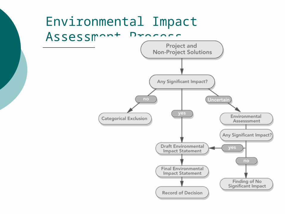
Environmental Impact Assessment Process
Public Involvement
Early and continuous involvement Reasonable public availability of technical
and other information Collaborative input on alternatives,
evaluation criteria, and mitigation needs Open public meetings where matters
related to transportation policies, programs, and projects are being considered
Open access to the decision making process prior to closure
Transportation System Management
Metropolitan traffic management centers Traffic signal coordination Incident management programs Preferential treatment for
transit/rideshares Special event traffic management Emergency management strategies Pricing of transportation services ITS applications for transit Traveler Information
Environmental Justice
Avoiding, minimizing, or mitigating disproportionately high and adverse human health and environmental, social or economic effects on minority and low-income populations
Ensuring the full and fair participation in the transportation decision making process by all potentially affected communities
Preventing the denial of, reduction in, or significant delay in the receipt of benefits by minority and low-income populations
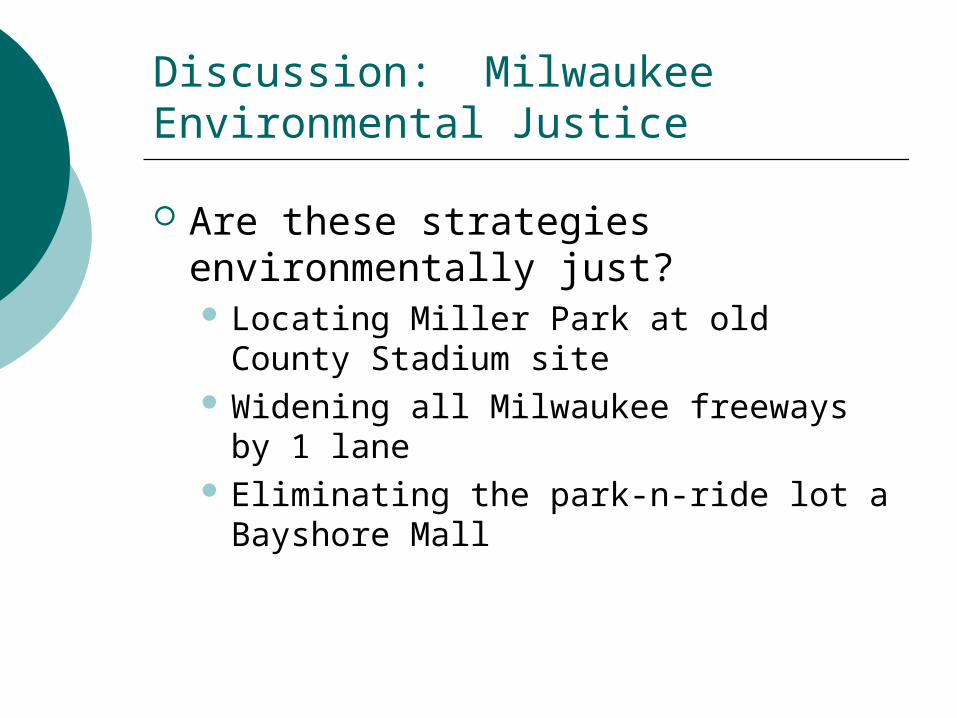
Discussion: Milwaukee Environmental Justice
Are these strategies environmentally just? Locating Miller Park at old County
Stadium site Widening all Milwaukee freeways by 1
lane Eliminating the park-n-ride lot a
Bayshore Mall
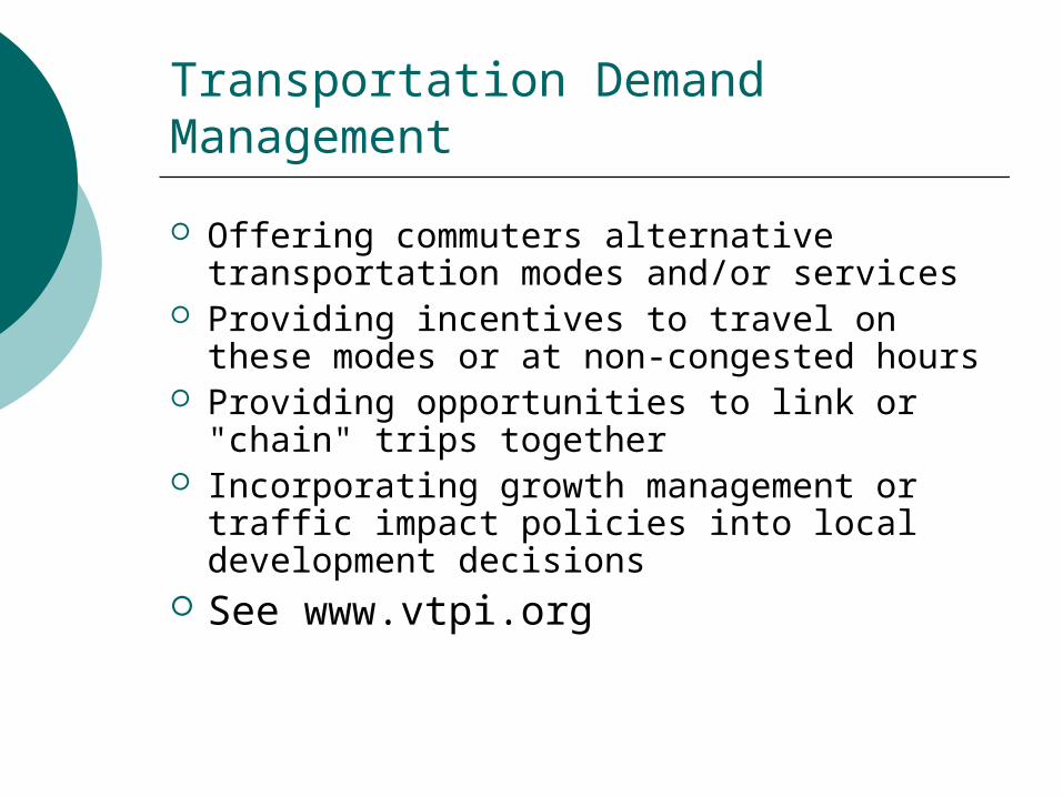
Transportation Demand Management
Offering commuters alternative transportation modes and/or services
Providing incentives to travel on these modes or at non-congested hours
Providing opportunities to link or "chain" trips together
Incorporating growth management or traffic impact policies into local development decisions
See www.vtpi.org
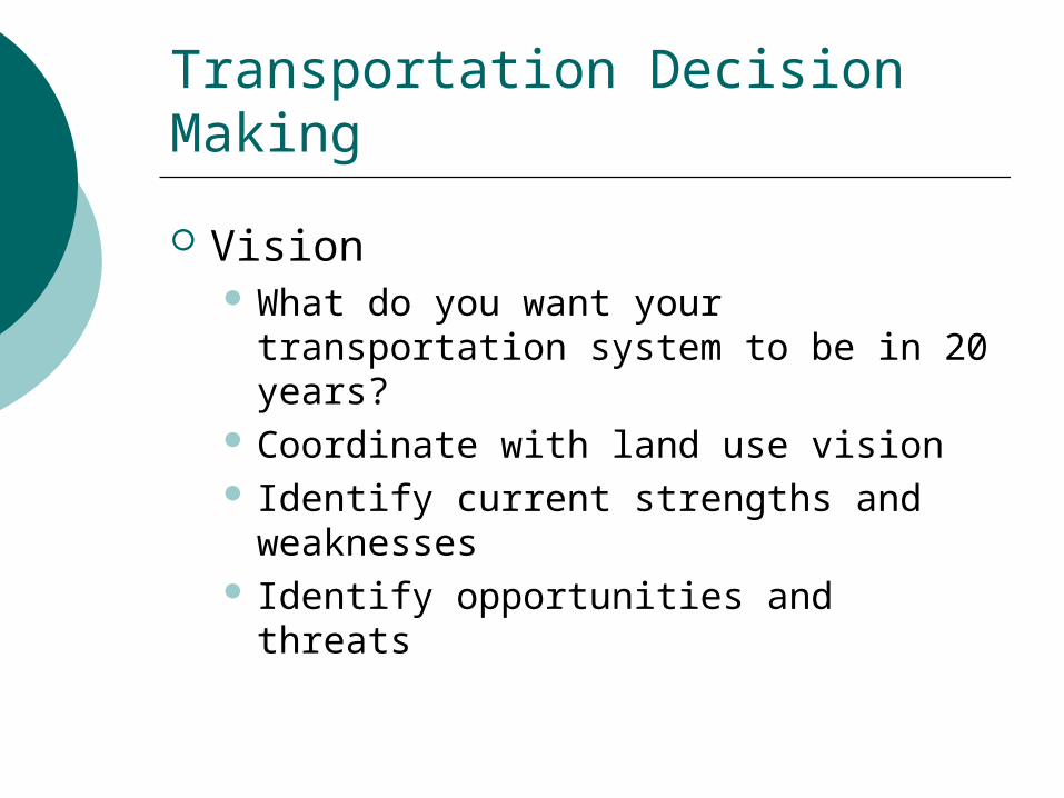
Transportation Decision Making
Vision What do you want your transportation
system to be in 20 years? Coordinate with land use vision Identify current strengths and
weaknesses Identify opportunities and threats
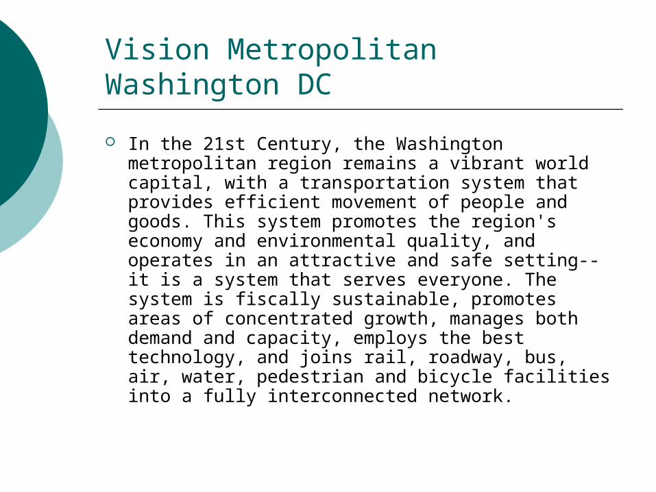
Vision Metropolitan Washington DC
In the 21st Century, the Washington metropolitan region remains a vibrant world capital, with a transportation system that provides efficient movement of people and goods. This system promotes the region's economy and environmental quality, and operates in an attractive and safe setting--it is a system that serves everyone. The system is fiscally sustainable, promotes areas of concentrated growth, manages both demand and capacity, employs the best technology, and joins rail, roadway, bus, air, water, pedestrian and bicycle facilities into a fully interconnected network.
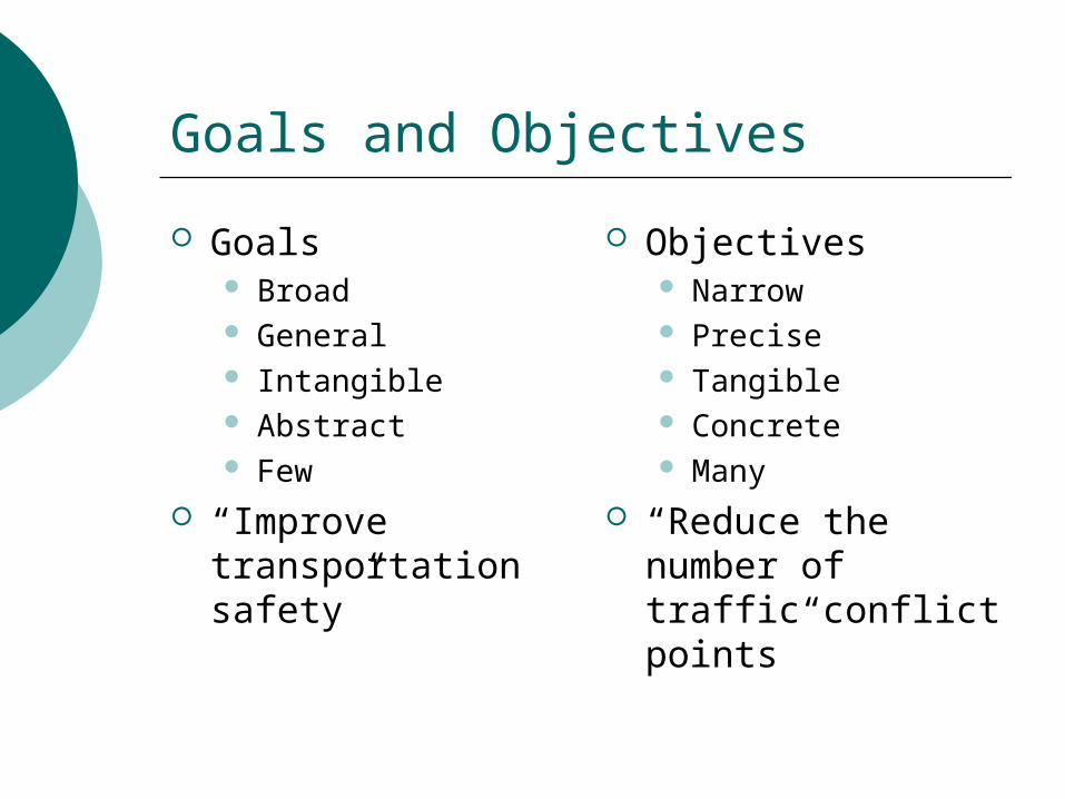
Goals and Objectives
Goals Broad General Intangible Abstract Few
“Improve transportation safety”
Objectives Narrow Precise Tangible Concrete Many
“Reduce the number of traffic conflict points”
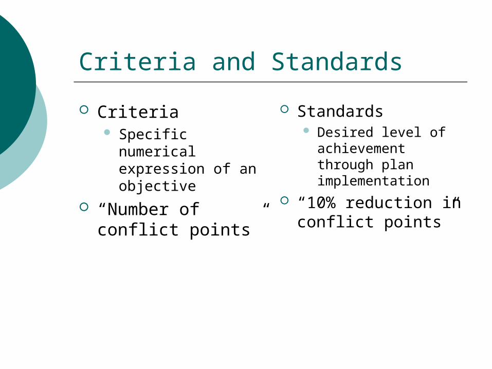
Criteria and Standards
Criteria Specific numerical
expression of an objective
“Number of conflict points”
Standards Desired level of
achievement through plan implementation
“10% reduction in conflict points”
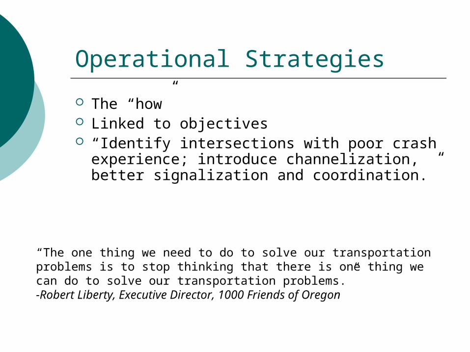
Operational Strategies
The “how” Linked to objectives “Identify intersections with poor crash
experience; introduce channelization, better signalization and coordination.”
“The one thing we need to do to solve our transportation problems is to stop thinking that there is one thing we can do to solve our transportation problems.”-Robert Liberty, Executive Director, 1000 Friends of Oregon
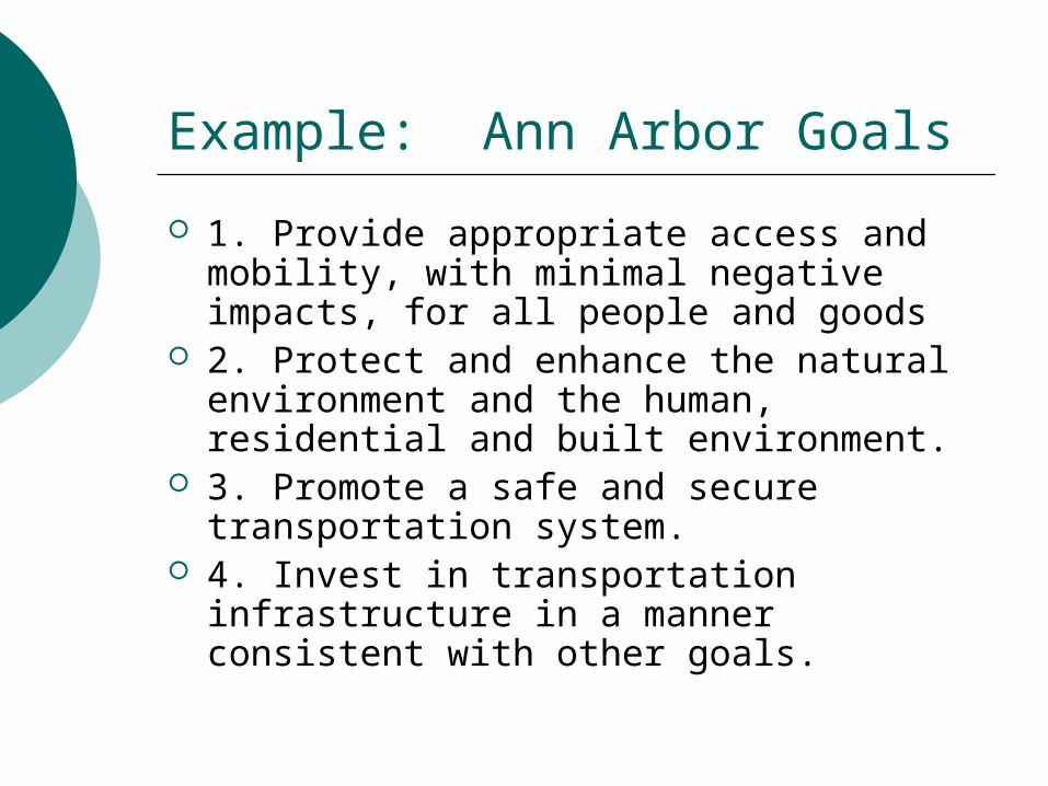
Example: Ann Arbor Goals
1. Provide appropriate access and mobility, with minimal negative impacts, for all people and goods
2. Protect and enhance the natural environment and the human, residential and built environment.
3. Promote a safe and secure transportation system.
4. Invest in transportation infrastructure in a manner consistent with other goals.
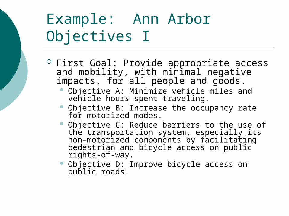
Example: Ann Arbor Objectives I
First Goal: Provide appropriate access and mobility, with minimal negative impacts, for all people and goods. Objective A: Minimize vehicle miles and vehicle
hours spent traveling. Objective B: Increase the occupancy rate for
motorized modes. Objective C: Reduce barriers to the use of the
transportation system, especially its non-motorized components by facilitating pedestrian and bicycle access on public rights-of-way.
Objective D: Improve bicycle access on public roads.

Example: Ann Arbor Objectives II
Objective E: Increase the number of bus centers and commuter lots and improve their distribution and efficiency throughout the SEMCOG region.
Objective F: Increase the contiguity among public transportation services and non-motorized transportation modes.
Objective G: Implement travel demand management plans to reduce commuter traffic and congestion.
Objective H: Increase mode choices and their coordination for the movement of goods and people.
Objective I: Encourage the development of commuter rail services, particularly the Detroit/Ann Arbor/Lansing proposal, on the Norfolk Southern and Ann Arbor Railroads.
Inventory and Data
Role of GIS See Course Reader for an long list of
items for an inventory
Alternatives/Scenarios
Alternative A unified set of projects, policies and
operational strategies that will meet the community's goals and achieve the vision
Scenario A future state of the urban area,
independent of any alternatives Futures forecasting/Delphi
Delphi
In what year will the following happen? Gasoline prices reach $5 per gallon Nuclear fusion becomes commercially
viable for electric power generation First mag lev system in the US in
commercial service
Additional Reading
Edward Weiner, “Urban Transportation Planning In the United States: An Historical Overview: Fifth Edition”, 1997, http://tmip.fhwa.dot.gov/clearinghouse/docs/utp/