Tour of Pendle Hill - Web Designclimb up to Newchurch. GPS:SD 8226 3935 In Newchurch village centre...
2
Barley village car park. (GR 823404). 15 miles (24.5km), 1.5-2 hours Road, steep in many parts Café, Toilets, Shop, Pub, Bus stop, Car park, Information. Start Point Distance/Time Terrain Key to Facilities www.forestofbowland.com SD 8234 4037 SD 8161 4277 SD 7860 4413 SD 7545 4086 SD 7817 3709 SD 7873 3677 SD 8134 3745 SD 8226 3935 GPS Waypoints (OS grid refs) Tour of Pendle Hill 3 4 5 6 7 8 1 2 © Crown Copyright. All rights reserved (100023320) (2008) N 1 2 Miles 0 Miles 0 Km 1 2 3 Km 1 3 4 5 6 7 8 2
Transcript of Tour of Pendle Hill - Web Designclimb up to Newchurch. GPS:SD 8226 3935 In Newchurch village centre...

Barley village car park.(GR 823404).
15 miles (24.5km),1.5-2 hours
Road, steep in many parts Café, Toilets, Shop, Pub,Bus stop, Car park,Information.
Start Point Distance/Time Terrain Key to Facilities
www.forestofbowland.com
SD 8234 4037SD 8161 4277SD 7860 4413SD 7545 4086SD 7817 3709SD 7873 3677SD 8134 3745SD 8226 3935
GPS Waypoints (OS grid refs)
Tour of Pendle Hill
3
4
5
6
7
8
1
2
© C
row
n C
opyr
ight
.A
ll ri
ghts
res
erve
d (1
0002
3320
) (2
008)
N
1 2 Miles0 Miles0 Km 1 2 3 Km
1
3
4
5
6
7
8
2
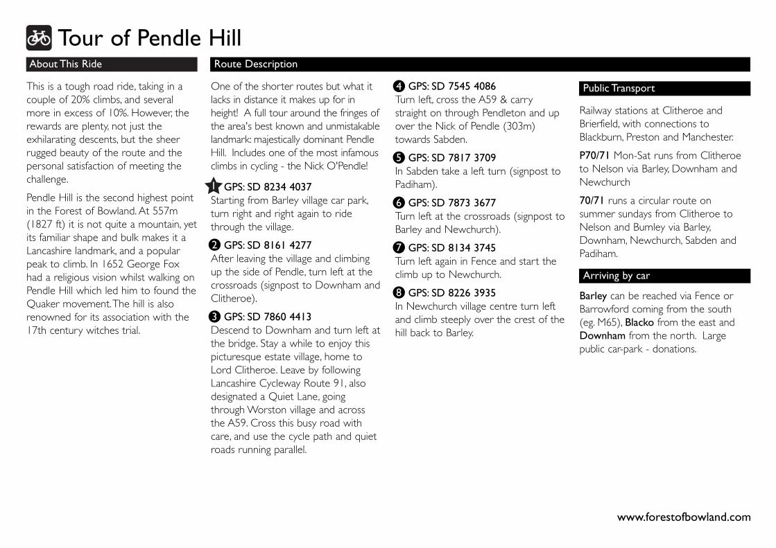
About This Ride
This is a tough road ride, taking in acouple of 20% climbs, and severalmore in excess of 10%. However, therewards are plenty, not just theexhilarating descents, but the sheerrugged beauty of the route and thepersonal satisfaction of meeting thechallenge.
Pendle Hill is the second highest pointin the Forest of Bowland. At 557m(1827 ft) it is not quite a mountain, yetits familiar shape and bulk makes it aLancashire landmark, and a popularpeak to climb. In 1652 George Foxhad a religious vision whilst walking onPendle Hill which led him to found theQuaker movement.The hill is alsorenowned for its association with the17th century witches trial.
Route Description
GPS: SD 7545 4086Turn left, cross the A59 & carrystraight on through Pendleton and upover the Nick of Pendle (303m)towards Sabden.
GPS: SD 7817 3709In Sabden take a left turn (signpost toPadiham).
GPS: SD 7873 3677Turn left at the crossroads (signpost toBarley and Newchurch).
GPS: SD 8134 3745Turn left again in Fence and start theclimb up to Newchurch.
GPS: SD 8226 3935In Newchurch village centre turn leftand climb steeply over the crest of thehill back to Barley.
One of the shorter routes but what itlacks in distance it makes up for inheight! A full tour around the fringes ofthe area's best known and unmistakablelandmark: majestically dominant PendleHill. Includes one of the most infamousclimbs in cycling - the Nick O'Pendle!
GPS: SD 8234 4037Starting from Barley village car park,turn right and right again to ridethrough the village.
GPS: SD 8161 4277After leaving the village and climbingup the side of Pendle, turn left at thecrossroads (signpost to Downham andClitheroe).
GPS: SD 7860 4413Descend to Downham and turn left atthe bridge. Stay a while to enjoy thispicturesque estate village, home toLord Clitheroe. Leave by followingLancashire Cycleway Route 91, alsodesignated a Quiet Lane, goingthrough Worston village and acrossthe A59. Cross this busy road withcare, and use the cycle path and quietroads running parallel.
3
4
5
6
7
8
1
2
Tour of Pendle Hill
www.forestofbowland.com
Public Transport
Railway stations at Clitheroe andBrierfield, with connections toBlackburn, Preston and Manchester.
P70/71 Mon-Sat runs from Clitheroeto Nelson via Barley, Downham andNewchurch
70/71 runs a circular route onsummer sundays from Clitheroe toNelson and Bumley via Barley,Downham, Newchurch, Sabden andPadiham.
Barley can be reached via Fence orBarrowford coming from the south(eg. M65), Blacko from the east andDownham from the north. Largepublic car-park - donations.
Arriving by car