Thinking Geographically
22
AP Human Geography Parkview High School
-
Upload
james-eaton -
Category
Documents
-
view
25 -
download
0
description
Thinking Geographically. AP Human Geography Parkview High School. Introduction. What is Geography? Geography is a representation of the whole known world together with the phenomena which are contained therein Ptolemy, Geographia, 2 nd century A.D. Definition - PowerPoint PPT Presentation
Transcript of Thinking Geographically
AP Human Geography
Parkview High School
What is Geography?Geography is a representation of the whole
known world together with the phenomena which are contained therein
Ptolemy, Geographia, 2nd century A.D.
DefinitionScientific study of the location of people
and activities across Earth, and the reasons for their distribution
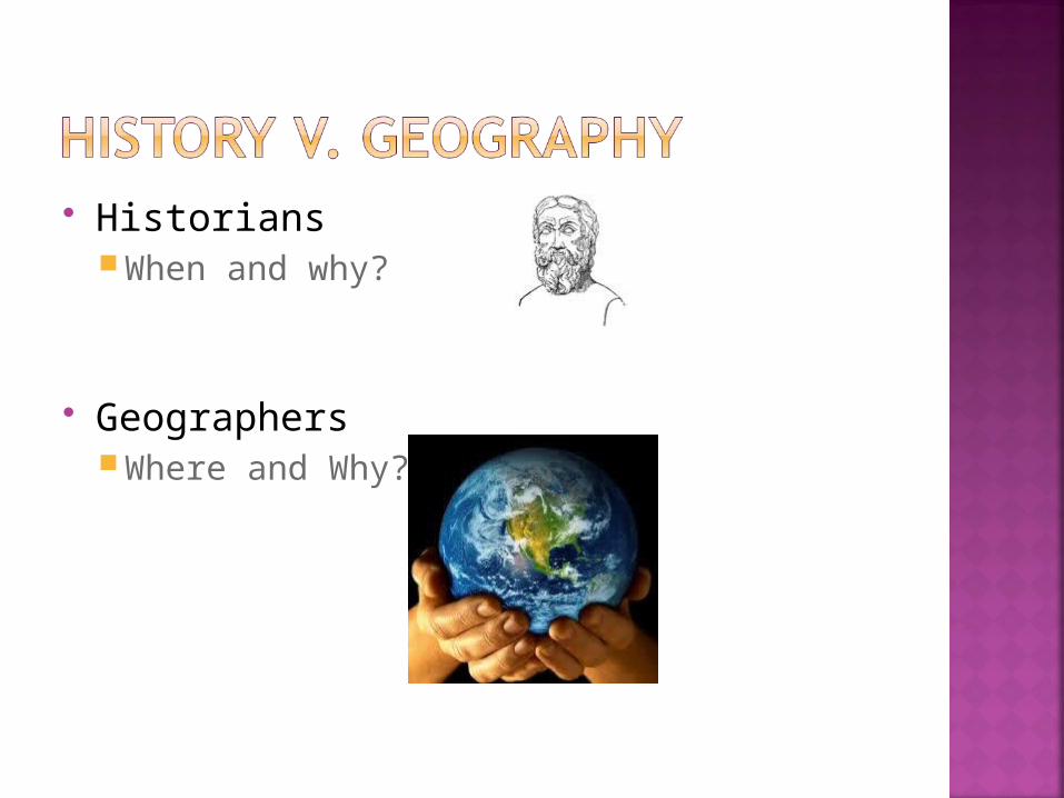
HistoriansWhen and why?
GeographersWhere and Why?
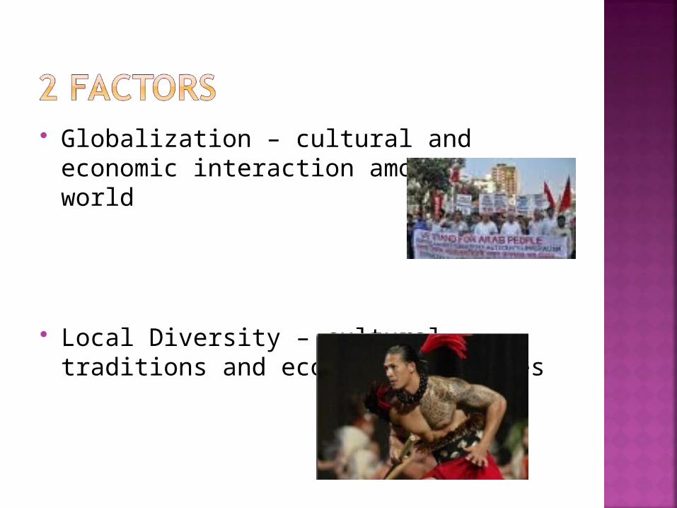
Globalization – cultural and economic interaction amongst the world
Local Diversity – cultural traditions and economic practices
Eratosthenes – first to use geographyGeo = “Earth” Graphy = “to write”
Physical GeographyWhere and why natural forces occur
Human GeographyWhere and why human activities occur
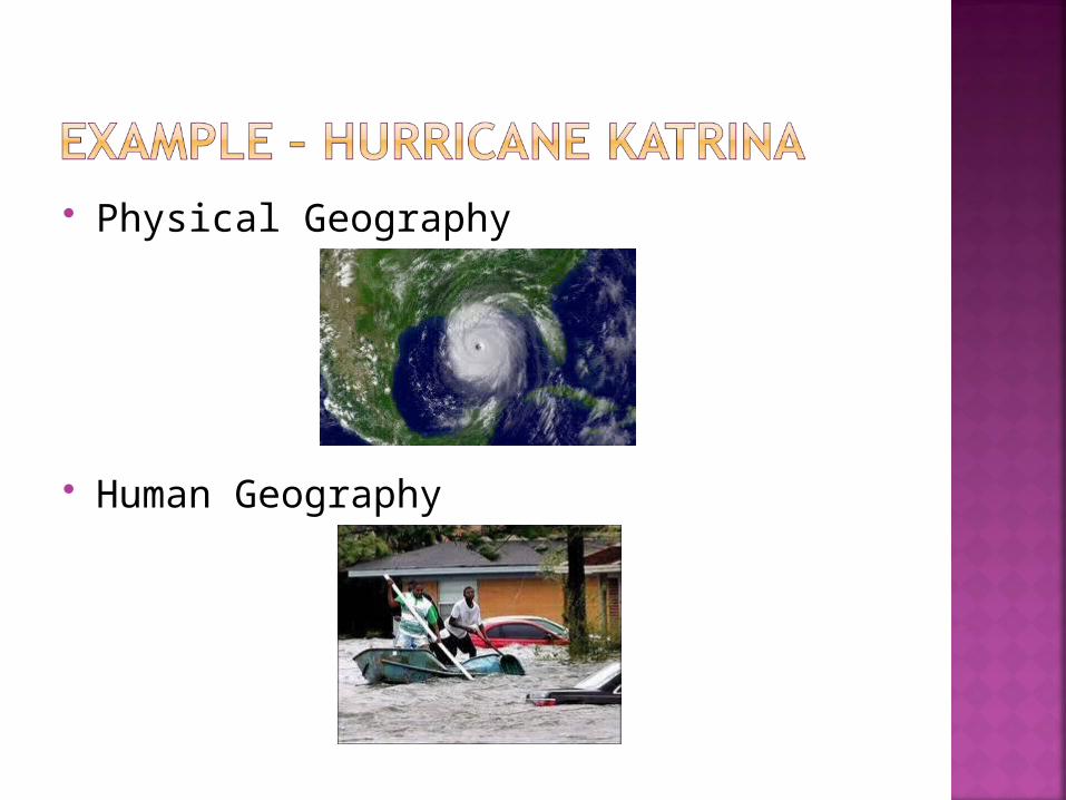
Physical Geography
Human Geography
Place Specific point on Earth distinguished by a
particular characteristic Region
Area of Earth distinguished by a distinctive combination of cultural and physical features
Scale Relationship between portion of Earth being
studied and the Earth as a whole Space
Physical gap or interval between two objects Connections
Relationships among people and objects across the barrier of space
How do Geographers Describe Where Things Are?
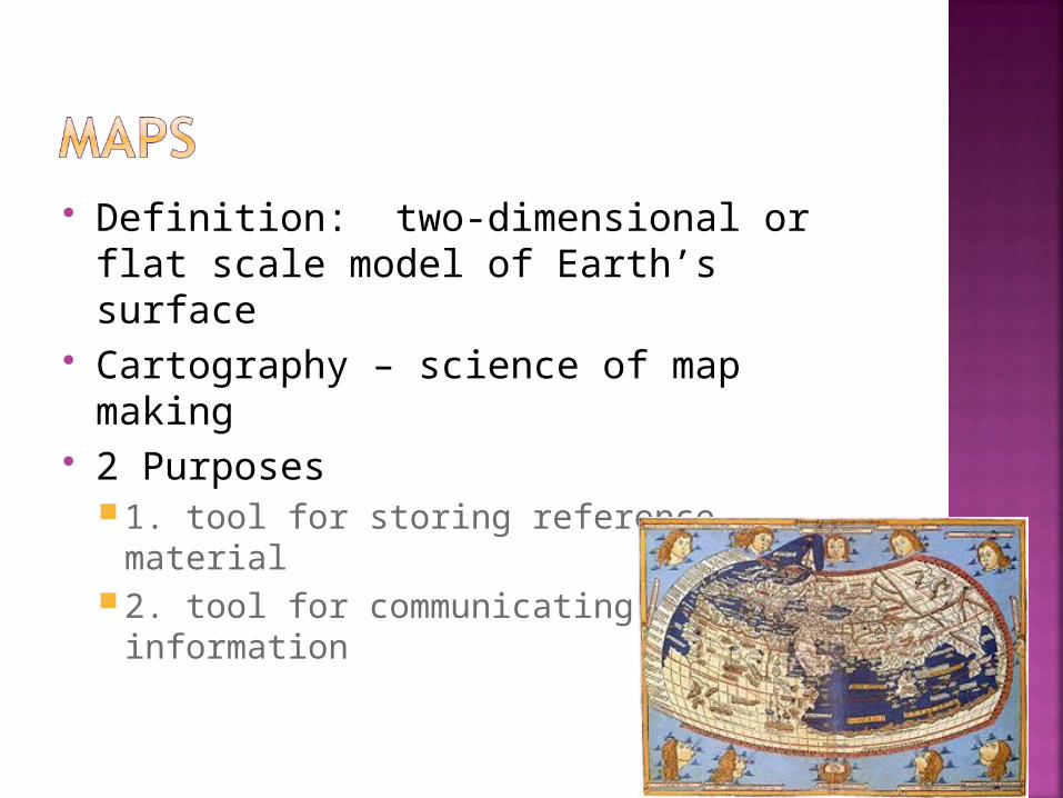
Definition: two-dimensional or flat scale model of Earth’s surface
Cartography – science of map making 2 Purposes
1. tool for storing reference material2. tool for communicating geographic
information
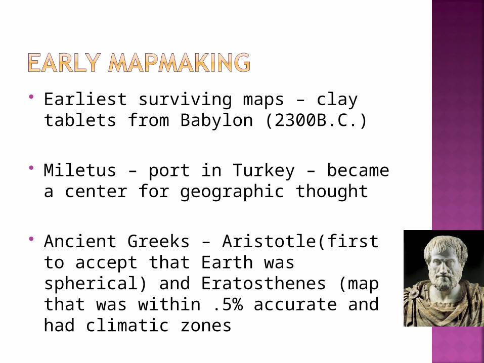
Earliest surviving maps – clay tablets from Babylon (2300B.C.)
Miletus – port in Turkey – became a center for geographic thought
Ancient Greeks – Aristotle(first to accept that Earth was spherical) and Eratosthenes (map that was within .5% accurate and had climatic zones
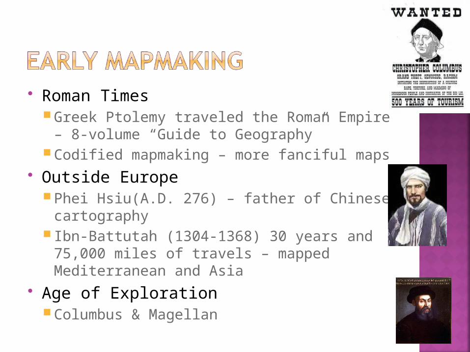
Roman TimesGreek Ptolemy traveled the Roman Empire –
8-volume “Guide to Geography”Codified mapmaking – more fanciful maps
Outside EuropePhei Hsiu(A.D. 276) – father of Chinese
cartography Ibn-Battutah (1304-1368) 30 years and
75,000 miles of travels – mapped Mediterranean and Asia
Age of ExplorationColumbus & Magellan
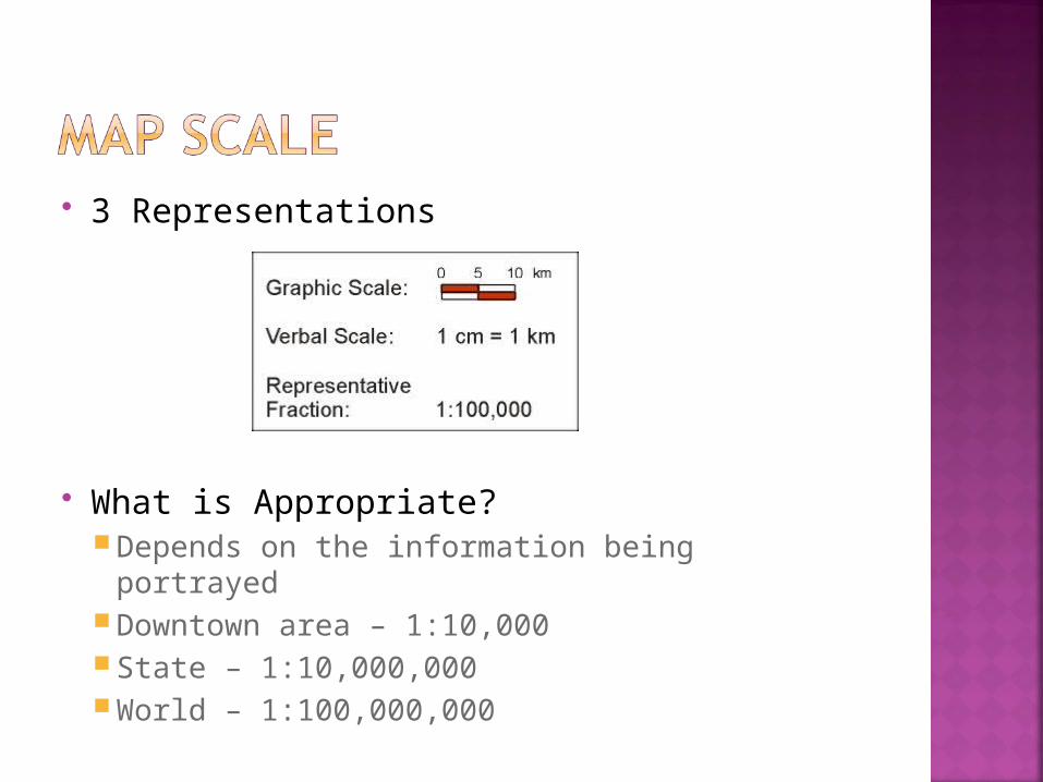
3 Representations
What is Appropriate? Depends on the information being portrayed Downtown area – 1:10,000 State – 1:10,000,000 World – 1:100,000,000
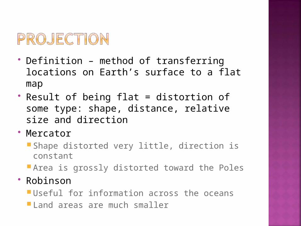
Definition – method of transferring locations on Earth’s surface to a flat map
Result of being flat = distortion of some type: shape, distance, relative size and direction
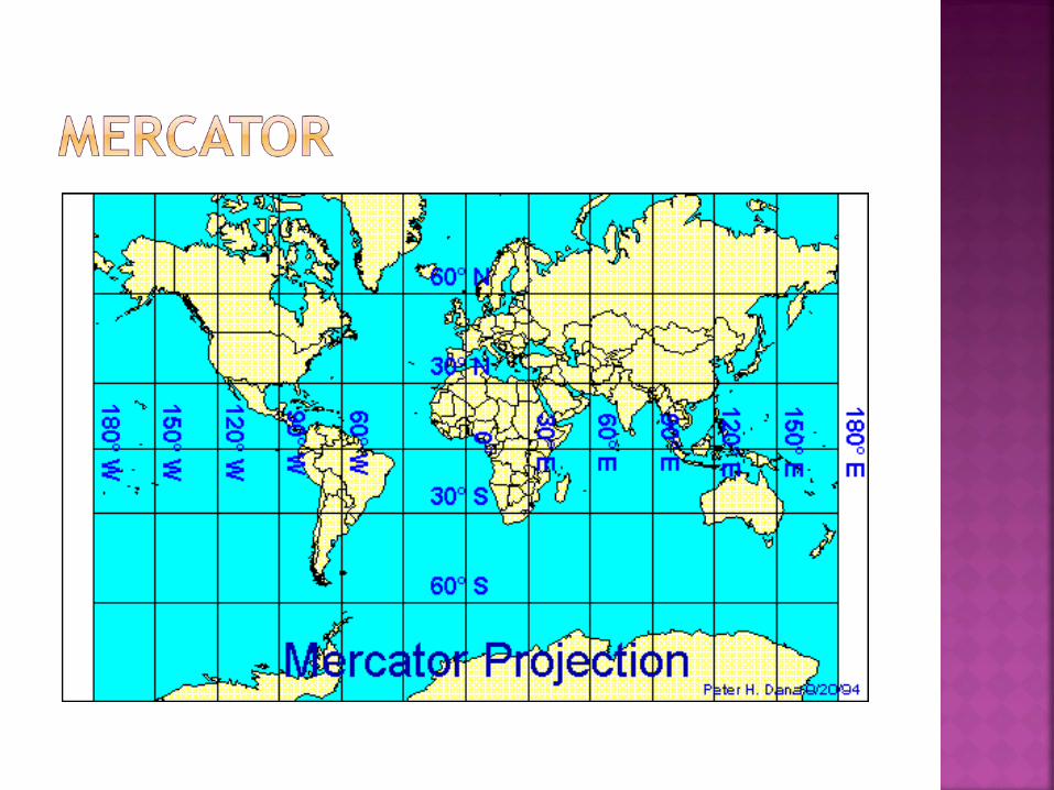
Mercator Shape distorted very little, direction is
constantArea is grossly distorted toward the Poles
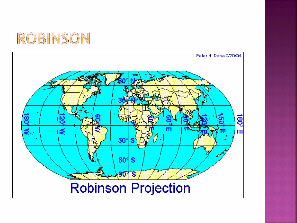
RobinsonUseful for information across the oceansLand areas are much smaller
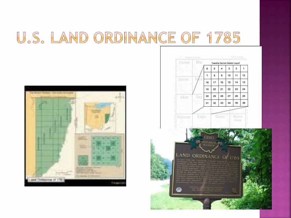
Western land in early United States divided into townships and ranges
Township – square 6 miles on each side Divided into 36 square mile sections Each section divided into 160 acres –
then sold to pioneers Explains – How states, streets, farms etc
got their shape and location
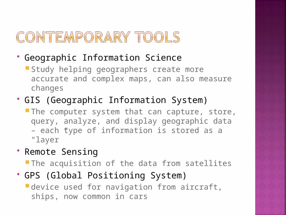
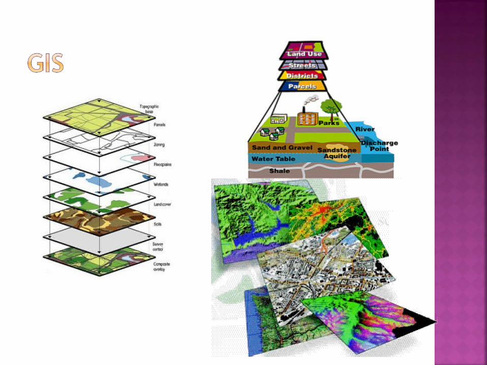
Geographic Information Science Study helping geographers create more
accurate and complex maps, can also measure changes
GIS (Geographic Information System) The computer system that can capture, store,
query, analyze, and display geographic data – each type of information is stored as a “layer”
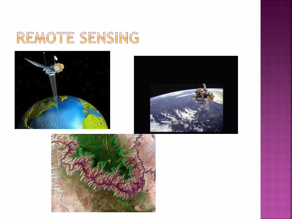
Remote Sensing The acquisition of the data from satellites
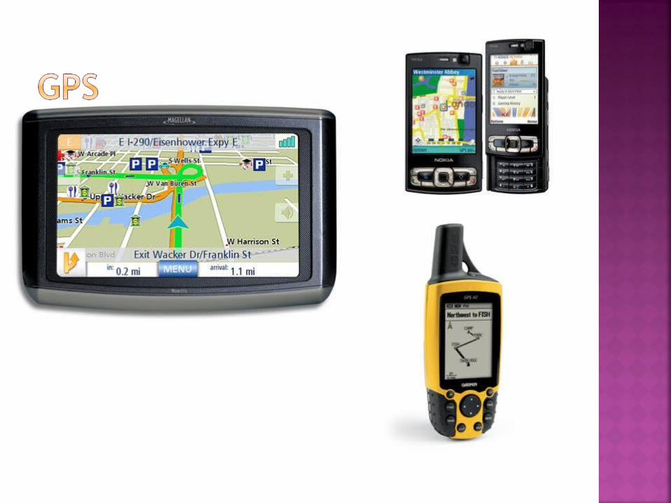
GPS (Global Positioning System) device used for navigation from aircraft, ships,
now common in cars