Sotmtrails
61
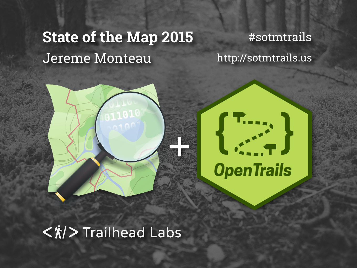
+ Jereme Monteau State of the Map 2015 #sotmtrails http://sotmtrails.us
-
Upload
trailhead-labs -
Category
Technology
-
view
145 -
download
0
Transcript of Sotmtrails
+
Jereme MonteauState of the Map 2015 #sotmtrails
http://sotmtrails.us


What do we do with OSM?
Find things to do outside?
Map things to do outside?

Are we making park maps and apps?
For a government? City, State, Fed?
For a non-profit?
For a company?
For fun?

It’s sooooo awesome to be here!
I’m Jereme Monteau from Oakland, CA.
It’s my first time at SOTMUS!
I like to find and map parks and trails in OSM.
I’m creating a platform park maps.
@jerememonteau / [email protected]
My company is called
I Was Born Here
ALASKA (Winter)
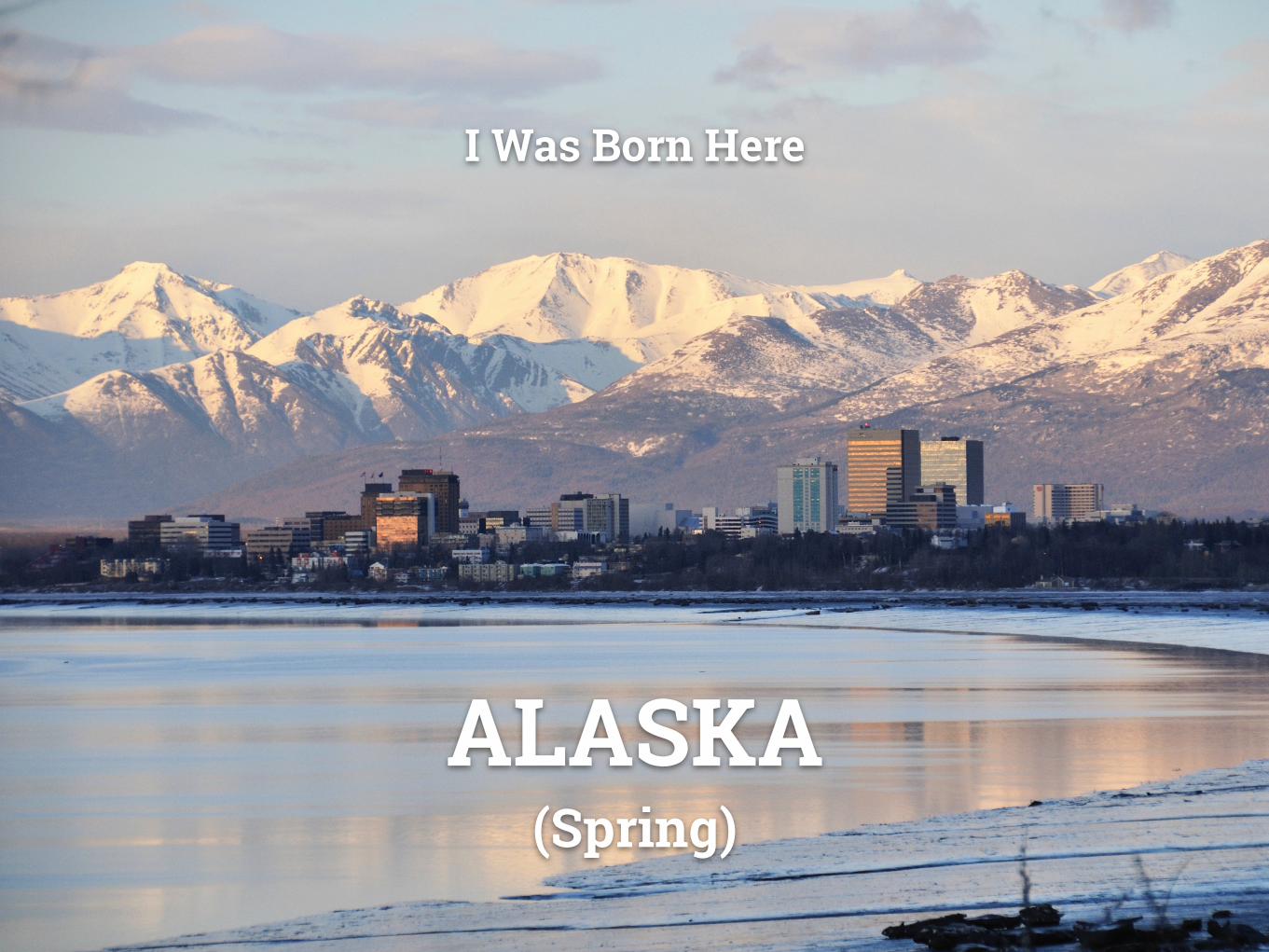
I Was Born Here
ALASKA (Spring)
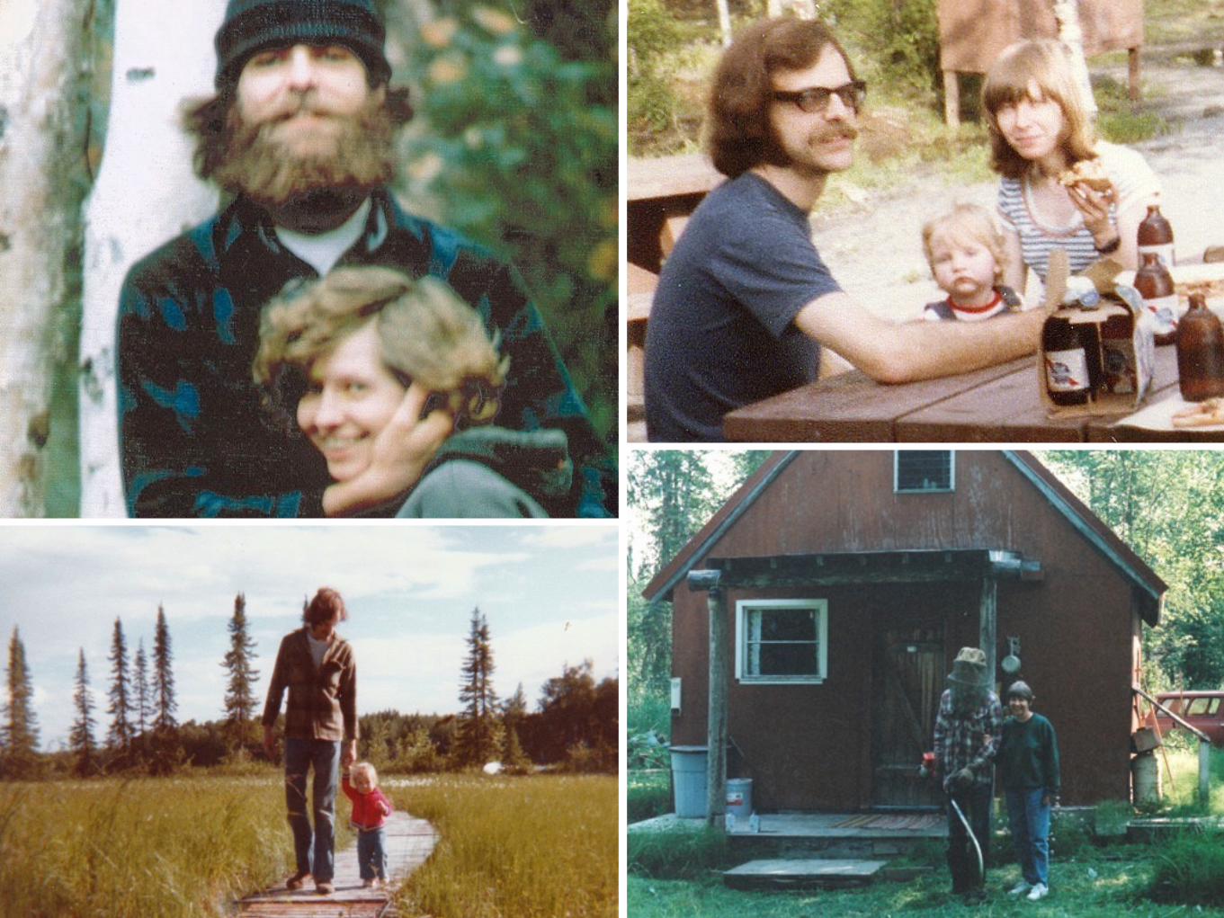


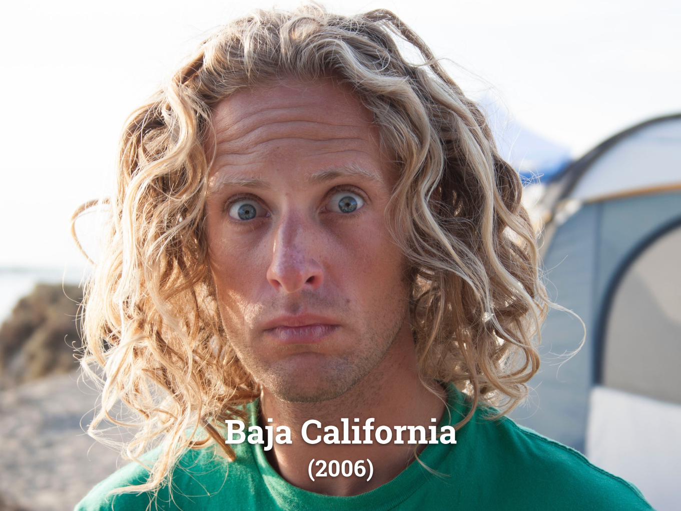
Baja California (2006)
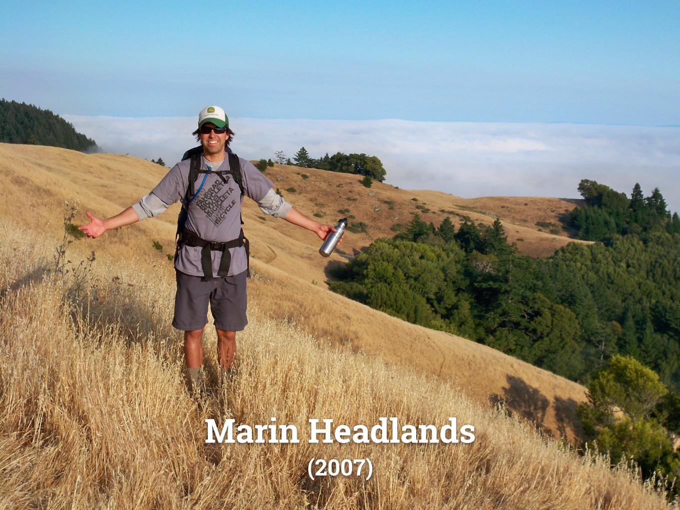
Marin Headlands (2007)

Bay Area Open Space Council

John Woodbury

Bettina Ring & Annie Burke

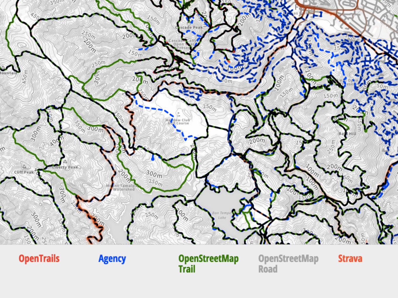
55 different agencies had the data. (Just in the bay area. 900+ in California)
Access was privileged in some cases.
No common format, lots of work to normalize.
Lots of data was out of date.
There Were Challenges

CPAD Larry
GreenInfo
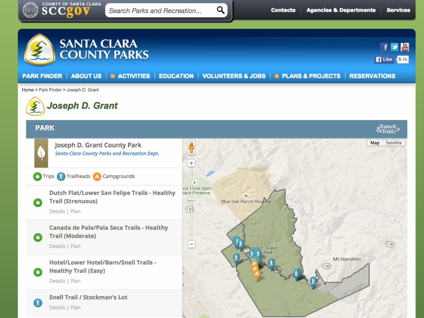
Santa Clara County

Stamen & Parks Conservancy Map

Founding Trailhead Labs
The Trailhead Labs Family

Alan Williams

Sometimes Standards Zoom Out

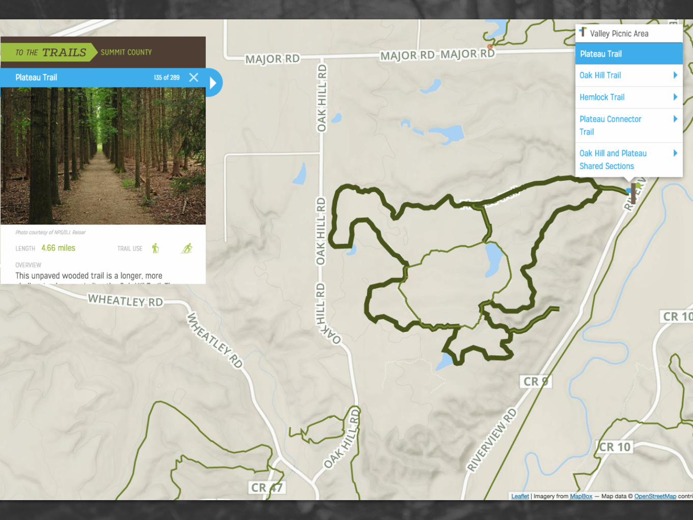
Sometimes Standards Zoom In
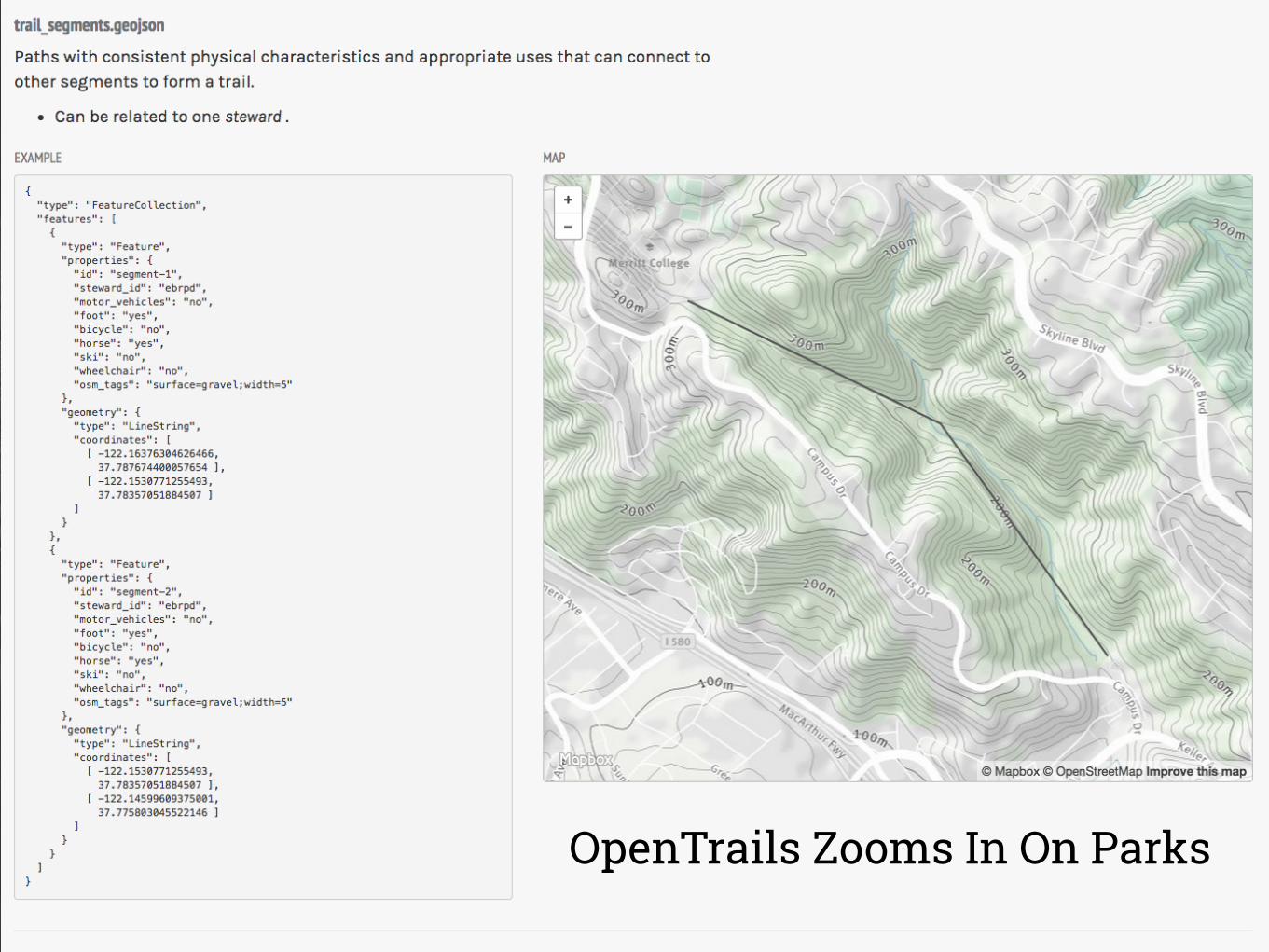
OpenTrails Zooms In On Parks

“The primary use case served by OpenTrails is the provision of officially-sanctioned information from many agencies to a common or overlapping audience of the visiting public.”
Open Trail System Specification
“To promote further use of the data, OpenTrails is crafted with use by a number of related specifications and applications in mind, including OpenStreetMap.”
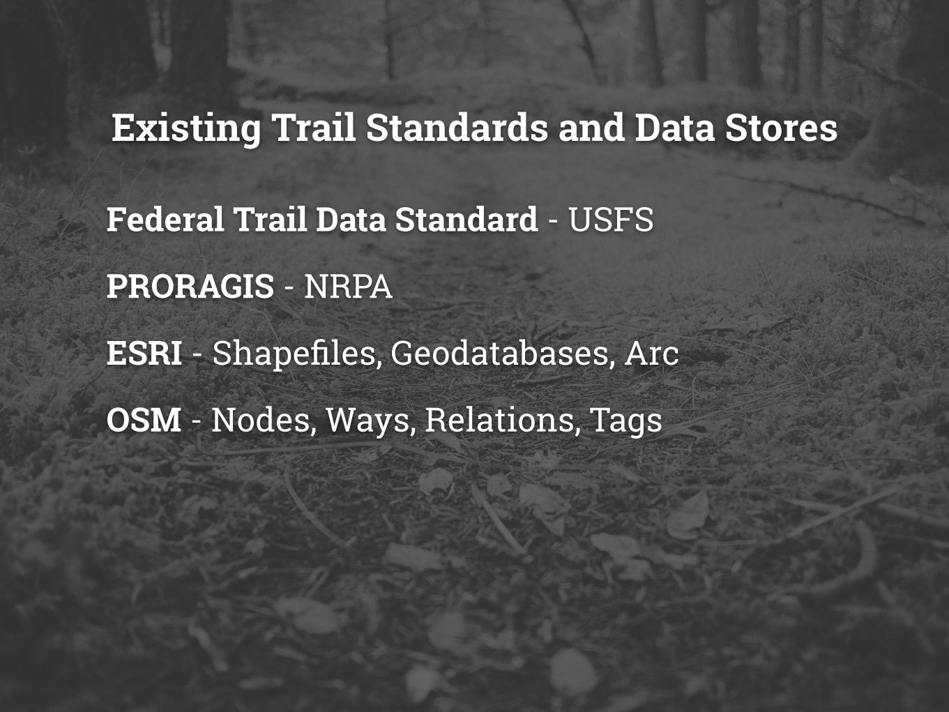
Existing Trail Standards and Data Stores
Federal Trail Data Standard - USFS
PRORAGIS - NRPA
ESRI - Shapefiles, Geodatabases, Arc
OSM - Nodes, Ways, Relations, Tags
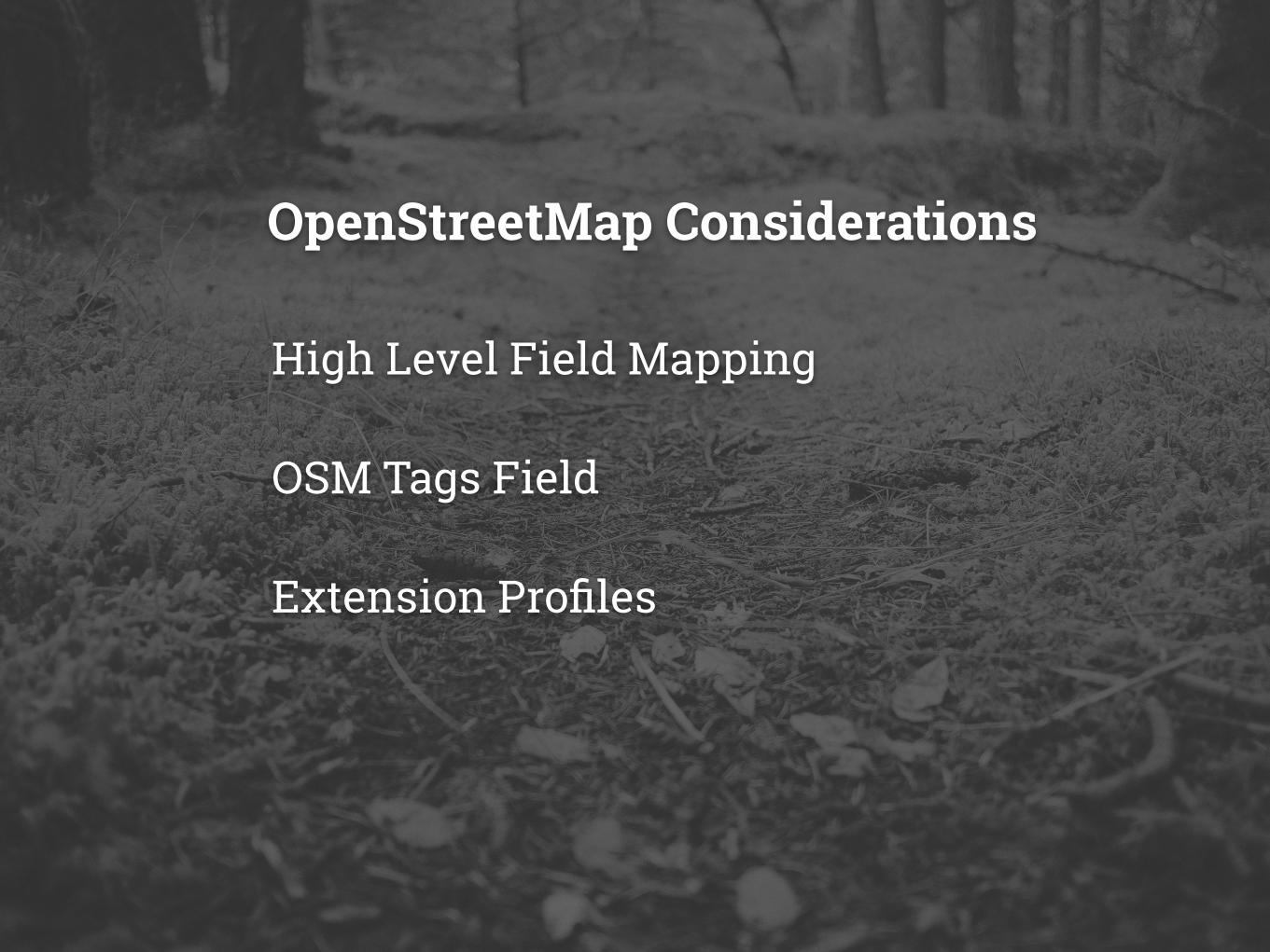
High Level Field Mapping
OSM Tags Field
Extension Profiles
OpenStreetMap Considerations
stamen design
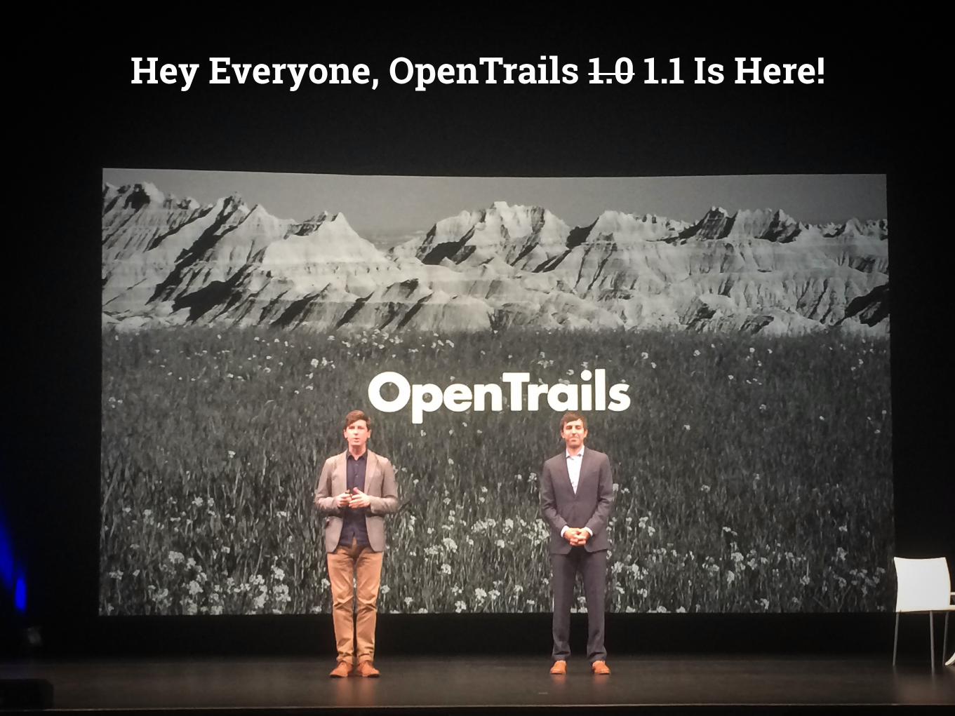
Hey Everyone, OpenTrails 1.0 1.1 Is Here!

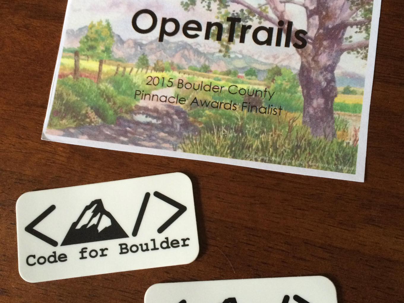
Boulder County City

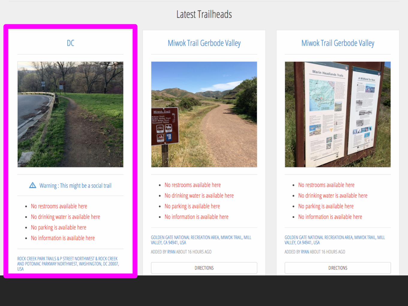
So What Even Is OpenTrails?stewards.csv Who manages this feature? Where do I get more info?
trail_segments.geojson Where are the trails are and what can I do on them? (Kind of like ways.)
named_trails.csv What are the names of the trails? (Kind of like relations.)
trailheads.geojson Where do I get on the trails and what amenities are there?
areas.geojson (optional) What are the parks that the trails go through?


Talk to all the people.
Build all the things.
Profit.
Startups Are Easy!
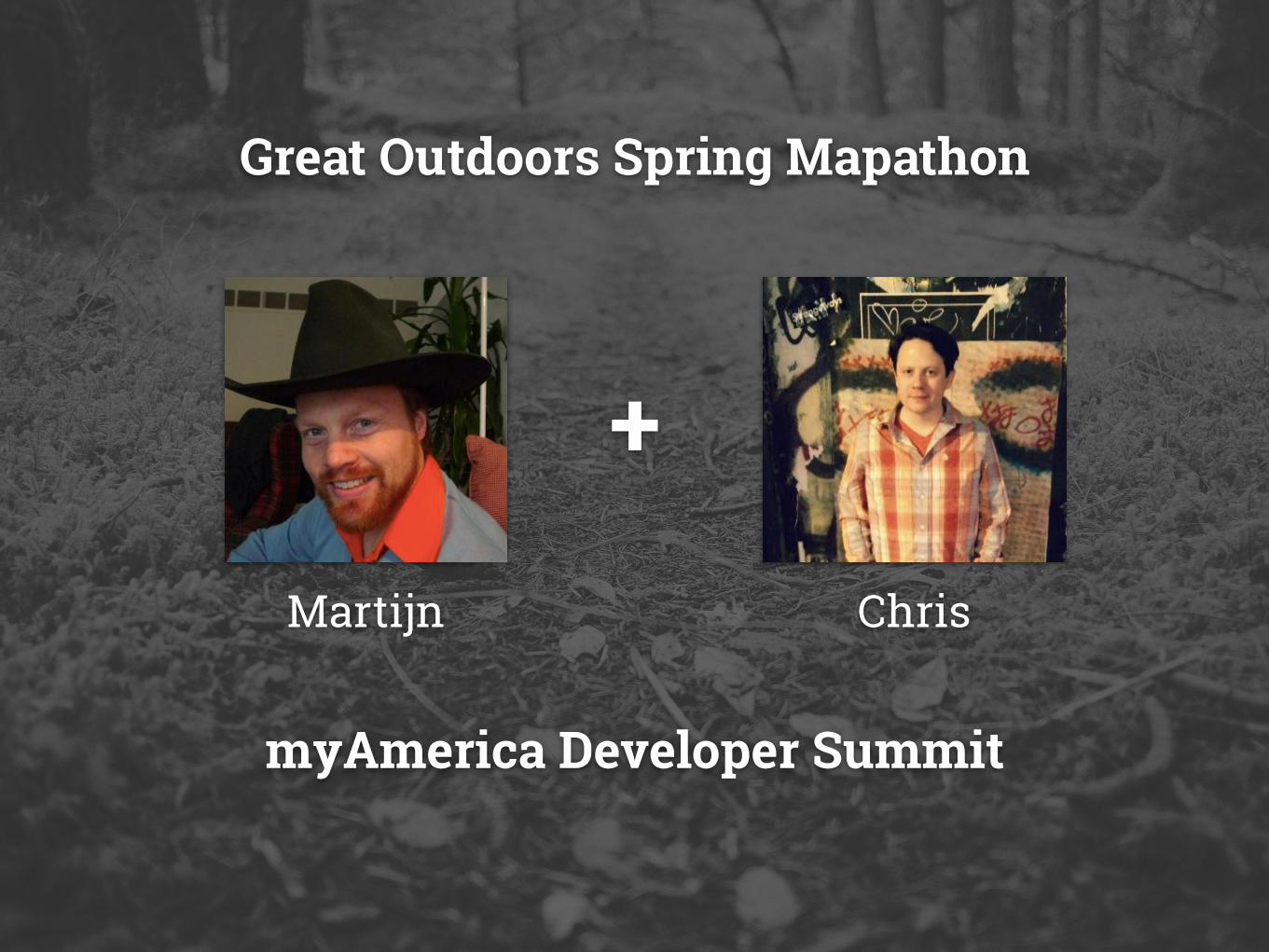
Great Outdoors Spring Mapathon
myAmerica Developer Summit
+
Martijn Chris

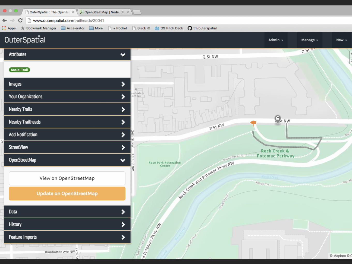
Integrating with OSM

Washington DC

OSM DC Folks Brian DeRocher Brandon Knight
Mikel Maron
myAmerica Developer Summit

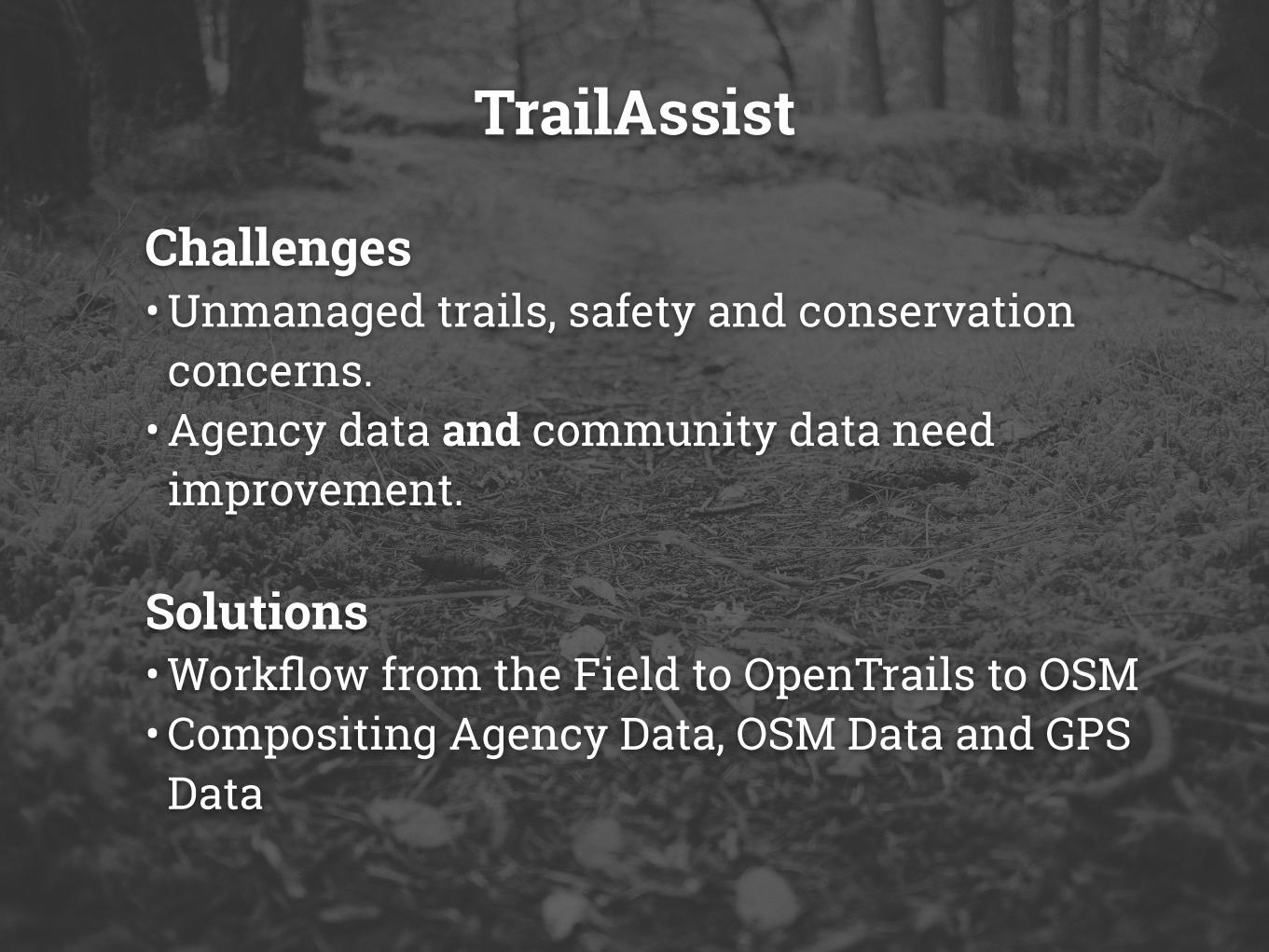
TrailAssist
Challenges • Unmanaged trails, safety and conservation
concerns. • Agency data and community data need
improvement.
Solutions • Workflow from the Field to OpenTrails to OSM • Compositing Agency Data, OSM Data and GPS
Data

“For government, OpenStreetMap is more than excellent data - it's a transformation”
- Mikel Maron
Departments & Agencies

157,000 Miles of Trail Largest Known Trail System
Data Standard Pioneers Federal Trail Data Standard
Utilizing Community Data Data Quality and Engagement
United States Forest Service
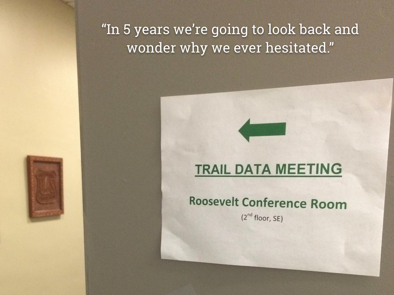
“In 5 years we’re going to look back and wonder why we ever hesitated.”
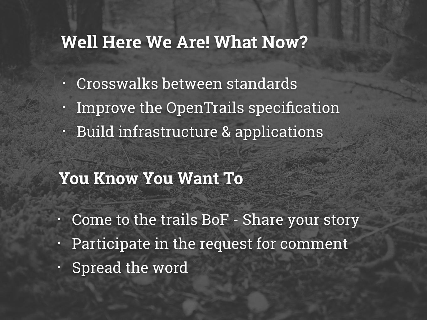
• Crosswalks between standards • Improve the OpenTrails specification • Build infrastructure & applications
Well Here We Are! What Now?
• Come to the trails BoF - Share your story • Participate in the request for comment • Spread the word
You Know You Want To

“A standard is only as good as it’s community.”
Nate Goldman ESRI R&D
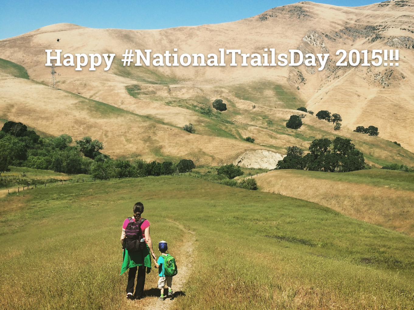
Happy #NationalTrailsDay 2015!!!


![ROI in the age of keyword not provided [Mozinar]](https://static.fdocuments.us/doc/165x107/53eabc7a8d7f7289708b51f7/roi-in-the-age-of-keyword-not-provided-mozinar.jpg)