Session 4: Smart, Resilient, and Sustainable Cities...
10
23/05/2017 1 Session 4: Smart, Resilient, and Sustainable Cities: Cooperation and Partnerships Argyro Kavvada, Ph.D. NASA/BAH and Exec. Sec. for GEO EO4SDGs Initiative Cities are hubs for commerce, science, productivity, social, human and economic interactions. Urban planning, transport systems, water and sanitation, waste management, disaster risk reduction, access to information, poverty reduction, education and capacity building are interconnected with sustainable urban development. Sustainable Urban Development
Transcript of Session 4: Smart, Resilient, and Sustainable Cities...

23/05/2017
1
Session 4:
Smart, Resilient, and Sustainable Cities:
Cooperation and Partnerships
Argyro Kavvada, Ph.D.
NASA/BAH and Exec. Sec. for
GEO EO4SDGs Initiative
Cities are hubs for commerce, science, productivity, social, human and economicinteractions. Urban planning, transport systems, water and sanitation, wastemanagement, disaster risk reduction, access to information, poverty reduction,education and capacity building are interconnected with sustainable urbandevelopment.
Sustainable Urban Development

23/05/2017
2
2030 Agenda for Sustainable Development
Make cities and human settlements inclusive, safe, resilient and sustainable
• Implicit in the SDG logic is that Goals, Targets, &
Indicators depend on each other
• Cities have a notable, cross-cutting role among many of
the other SDGs with economic, social, energy, science,
and technology outputs
• For example, there are notable linkages between Goal 11
and Goal 5, which aims to achieve gender equality and
empower all women and girls, as well as Goal 3 on good
health and well being
Number of deaths, missing persons and directly affected
persons attributed to disasters per 100,000 population
Direct economic loss attributed to disasters in
relation to global gross domestic product (GDP)
Direct economic loss in relation to global GDP,
damage to critical infrastructure and number of
disruptions of basic services, attributed to disasters
Number of countries that adopt and implement national
disaster risk reduction strategies in line with the Sendai
Framework for Disaster Risk Reduction 2015-2030
Proportion of local governments that adopt and implement
local disaster risk reduction strategies in line with national
disaster risk reduction strategies.
A
B
C
D
E
F
G
Target Goal / Target
Goal 11.
Target 11.5
Goal 1.
Target 1.5
Goal 11.
Target 11.b
Goal 13.
Target 13.1
Explicit links between the 2030 Agenda for Sustainable Development & Sendai Framework for Disaster Risk Reduction
Credit: UNISDR

23/05/2017
3
□ Aligning these monitoring frameworks to help achieve
sustainable urban development is a great accomplishment,
and presents huge opportunities, as well as many
challenges.
□ It also highlights the importance of bringing together
information producers, users, and policy makers, engaging
communities, strengthening interagency activities, and
enhancing national, regional, and global collaboration and
partnerships.
□ Earth observations can help enable such linkages by
promoting equity, welfare, and shared prosperity for all
levels of human settlement and fostering national urban
planning.
• EO can contribute
to progress of
eight Targets
• Five Indicators
can be measured
or supported by
EO
EO4SDGs
1.4 1.5 1.4.2
2.3 2.4 2.c 2.4.1
3.3 3.4 3.9 3.d 3.9.1
5.a 5.a.1
6.1 6.3 6.4 6.5 6.6 6.a 6.b 6.3.1 6.3.2 6.4.2 6.5.1 6.6.1
7.2 7.3 7.a 7.b 7.1.1
8.4
9.1 9.4 9.5 9.a 9.1.1 9.4.1
10.6 10.7 10.a
11.1 11.3 11.4 11.5 11.6 11.7 11.b 11.c 11.1.1 11.2.1 11.3.1 11.6.2 11.7.1
12.2 12.4 12.8 12.a 12.b 12.a.1
13.1 13.2 13.3 13.b 13.1.1
14.1 14.2 14.3 14.4 14.6 14.7 14.a 14.3.1 14.4.1 14.5.1
15.1 15.2 15.3 15.4 15.5 15.7 15.8 15.9 15.1.1 15.2.1 15.3.1 15.4.1 15.4.2
16.8
17.2 17.3 17.6 17.7 17.8 17.9 17.16 17.17 17.18 17.6.1 17.18.1
Sustainable Development Goals
Earth Observations in Service of the Agenda 2030
Direct measure or indirect support
IndicatorGoal
Contribute to progress on the Target yet not the Indicator per se
Target

23/05/2017
4
Urbanization
• Indicator 11.3.1 Ratio of land consumption rate to population growth rate
(Tier II, Custodian agency: UN-Habitat, Other: UNEP, UNDP)
11.3 By 2030, enhance inclusive and sustainable urbanization
and capacity for participatory, integrated and sustainable human
settlement planning and management in all countries
• The value of satellite-based EO data to monitor land
cover change is acknowledged in the stakeholder
comments.
NASA- GEO Activities:
NASA Partnerships in support of SDGs
• Colombia
� On March 30, the GEO EO4SDGs Initiative (co-led by NASA-JAXA-INEGI) along with
GPSDD & Colombia’s National Statistical Office (DANE) co-organized a workshop,
Towards Integration of National Statistics and Earth Observations for SDG
Monitoring in Bogota, Colombia.
� Identified SDGs for focus included Goal 6 – Clean Water and Sanitation, Goal 11 –
Sustainable Cities and Communities, and Goal 15 – Life on Land.
� Colombia has already used EO to calculate Indicator 11.3.1 & to monitor forest
cover extent and change, as well as soil erosion.
� Since 2015, Colombia has
established an inter-agency
coordination mechanism on
data needs for the SDGs,
comprised of 7 national
government entities
EO4SDGs

23/05/2017
5
�������� 11.3.1 =
Integration of EO & Statistics in Colombia
���� ���� ����������� �t�
���������� ����ℎ ���
� Used Landsat data for the years 2000, 2005, and 2015, and Google Earth Engine platform to optimize
processing and classification of images.
� Calculated 11.3.1 across six metropolitan, and 151 urban, areas
What follows:
� Expand 11.3.1 calculation in other urban agglomerations to meet the ‘leave no one behind’
commitment
� Algorithm development access to tools, such as the CEOS data cube, for DANE
� Enhance access to quality images, storage and processing of large volumes of data
Credit: DANE, Colombia
� Overcome
limitations due to
presence of clouds
� Useability of global
datasets in
mapping
urbanization
(GUF+, GHSL)
� Other Indicators
(e.g., 11.7.1)
NASA-Rio de Janeiro Partnership
• NASA’s Earth Science Division & the Rio de Janeiro mayor’s office signed an agreement in December 2015, to support innovative efforts to better understand, anticipate, and monitor natural hazards and climate change impacts around the city.
• Leverage unique and complimentary attributes of NASA’s satellite data systems and Rio de Janeiro’s monitoring and crisis management capabilities
• Collaborate on joint activities that:�Advance capabilities for improved situational awareness of hazards within
the Mayor’s Office in Rio de Janeiro
�Advance the use & application of NASA Earth Science data
�Communicate about the use of Earth Science data within Rio de Janeiro with the public and educators/students in Brazil
Goals of Collaboration:

23/05/2017
6
Thematic Areas
Rainfall/Landslides Climate change impacts
Education/OutreachAir/Water Pollution
Rainfall and Mass Movements
• Collaborate on improving Rio’s landslide alert capabilities
• Enhance online alert system http://alertario.rio.rj.gov.br/
• Improve the landslide inventory and mapping in the Rio area
• Evaluate and validate NASA precipitation estimates over the greater Rio area
• Evaluate regional susceptibility maps developed by NASA
Goals and status of partnership

23/05/2017
7
Rainfall and Mass Movements:
available data and resources
NASA data and resources
• Satellite precipitation data from the TRMM and GPM satellites is available at 0.1 degree resolution globally
• Global Landslide Catalog with over 130 landslides reported in the greater Rio area
• Global susceptibility map at 1km
• Open source threshold-based landslide “nowcasting” system that can be shared with Rio or customized for this region
• Expertise in rainfall analysis and regional landslide modeling
Rio data and resources
• 33 Rain gauges throughout the city that operate at 15 min. intervals
• Landslide inventory
• Regional landslide susceptibility map
• High resolution elevation from LIDAR
• Local expertise in geological and climatic setting of the region, mass movement issues throughout the city, hotspot areas for landslide activity
NASA-Rio Workshop on Climate Change Impacts
As part of the NASA-Rio agreement, 10 representatives from offices across the Rio City Government participated in a 3-day interactive training workshop with NASA GISS, GSFC and Columbia University scientists on the topics of Sea Level Rise, Urban Heat Islands, and Water Quality. There was a science policy discussion with the NYC Mayor’s office, C40 initiative, Rio, and NASA (right), science presentations for the three thematic areas (bottom), and a demonstration of the advanced City Operations Center in Rio (bottom, right).

23/05/2017
8
Earth Science Partnerships
NASA + Microsoft workshop on urban
resiliency
NASA + Microsoft• NASA + Microsoft partnership
(agreement pending) will focus in-part on urban resiliency
• Motivation: Explore the integration of technology (e.g., cloud-based services, Internet of Things) and Big Data (e.g., NASA Earth observations and model output) advances to support data-based approaches to inform and enhance decisions on long-term planning around infrastructure and resiliency investments
Private –Public Partnerships
ObjectiveUtilize partnerships (1) as an amplifier of NASA Earth Science Division’s work and (2) to create new understanding of the Earth system and societal benefits that essential leverage the resources and expertise of both NASA and the partner to achieve what neither group could alone
100 Resilient Cities (100RC), pioneered by the Rockefeller Foundation is dedicated to helping cities around the world become more resilient to the physical, social and economic challenges that are a growing part of the 21st century.
Additional Initiatives
23/05/2017
9
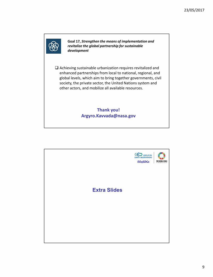
Goal 17, Strengthen the means of implementation and
revitalize the global partnership for sustainable
development
� Achieving sustainable urbanization requires revitalized and
enhanced partnerships from local to national, regional, and
global levels, which aim to bring together governments, civil
society, the private sector, the United Nations system and
other actors, and mobilize all available resources.
Thank you!
EO4SDGs
Extra Slides

23/05/2017
10
NASA and Rio de Janeiro work together to address climate impacts and extreme events at the city level
NASA’s Earth Science Division and the Rio de
Janeiro mayor’s office signed an agreement
in December 2015, to support innovative
efforts to better understand, anticipate, and
monitor natural hazards and climate change
impacts around the city.
Through this partnership, NASA scientists
and representatives from the Rio de Janeiro
city government met at NASA GISS for a 3-
day technical exchange and workshop on
the topics of sea level rise, urban heat
islands, and water quality from Nov. 14-16th.
As part of this workshop, Dalia Kirschbaum
(NASA GSFC), Cynthia Rosenzweig (NASA
GISS), Dan Bader (Columbia University),
Felipe Mandariano (Rio City Government)
and Susanne DesRoches (New York City
Mayor’s office) participated in a Facebook
Live event in southern Manhattan that has
been viewed by 88k people. A feature story
and short video were also released the
same day, Nov. 16th. 2016
NASA-Rio Outreach Webinars
As part of a NASA-Rio agreement signed in December 2015, NASA GSFC conducted three outreach webinars in partnership with the Rio de Janeiro city government, led by the city’s planetarium. A series of three webinars featured science talks on the main focus areas of this partnership: climate impacts, extreme events, water and air quality, and education/outreach.
The three webinars were conducted in Portuguese and were recorded. In addition, several NASA videos and educational material were translated into Portuguese and shared with a broad network of schools within Rio. All information and materials on the partnership can be found in English and Portuguese at: http://science.gsfc.nasa.gov/610/applied-sciences/nasa_rio_partnership.html
https://svs.gsfc.nasa.gov/11877