REPORT ON THE GEOTECHNICAL INVESTIGATION OF THE ROOIBERG ... D... · investigation of the rooiberg...
20
REPORT ON THE GEOTECHNICAL INVESTIGATION OF THE ROOIBERG LANDFILL SITE, LIMPOPO Jaco Bloem Consulting
-
Upload
truongthuy -
Category
Documents
-
view
213 -
download
0
Transcript of REPORT ON THE GEOTECHNICAL INVESTIGATION OF THE ROOIBERG ... D... · investigation of the rooiberg...

REPORT ON THE GEOTECHNICAL
INVESTIGATION OF THE
ROOIBERG LANDFILL SITE, LIMPOPO
Jaco Bloem Consulting

Title: REPORT ON THE GEOTECHNICAL INVESTIGATION OF
THE ROOIBERG LANDFILL SITE, LIMPOPO
Prepared by: JB Consult
P.O. Box 40833
Moreleta Ridge
0044
Tel: (012) 345 5968 Fax: (012) 345 5968
Client: LIMPOPO PROVINCE
Project No. JBC0798
Keywords: Landfill site; soil profiling, soil testing; Quartzite; No Groundwater;
ferricrete, no clay, Liner material,
Project team: J.Bloem Pr. Sci. Nat.
Date: October 2012
JB Consult
…………………………………………. Author
(i)
Geotechnical Investigation of the Proposed ROOIBERG Landfill Site February 2014
REPORT ON THE GEOTECHNICAL INVESTIGATION OF THE ROOIBERG LANDFILL SITE, LIMPOPO
Table of Contents
1. INTRODUCTION .......................................................................................... 1-1
2. PURPOSE OF THE INVESTIGATION ......................................................... 2-1
3. SITE LOCATION AND DESCRIPTION ........................................................ 3-1
4. GEOLOGY .................................................................................................... 4-1
5. METHOD OF INVESTIGATION .................................................................... 5-1
6. RESULTS ..................................................................................................... 6-1
6.1 SOIL PROFILES ..................................................................................................... 6-1
6.2 LABORATORY TESTS ........................................................................................... 6-1
7. DISCUSSION OF RESULTS ........................................................................ 7-2
7.1 PERCHED WATER LEVEL .................................................................................... 7-2
7.2 ROAD CONSTRUCTION............................................ Error! Bookmark not defined.
7.3 EXCAVATABILITY.................................................................................................. 7-2
7.4 LINER MATERIAL .................................................................................................. 7-3
7.5 FOUNDATION CONDITIONS ................................................................................. 7-3
8. CONCLUSIONS ........................................................................................... 8-1
9. RECCOMENDATIONS .................................... Error! Bookmark not defined.
10. REFERENCES ........................................................................................... 10-1

Geotechnical Investigation of the Proposed ROOIBERG Landfill Site February 2014
1-1
REPORT ON THE GEOTECHNICAL INVESTIGATION OF THE ROOIBERG LANDFILL SITE, LIMPOPO
1. INTRODUCTION
The author was requested by AURECON, on behalf of their client, to determine the
sub soil conditions of the proposed ROOIBERG Landfill Site. The brief was simply
to excavate test holes on the site and determine the geological layers and
excavatebility of the material on site. This will also provide information to determine
the viability of the establishment of the landfill.

Geotechnical Investigation of the Proposed ROOIBERG Landfill Site February 2014
2-1
2. PURPOSE OF THE INVESTIGATION
The purpose of the investigation was the following:
Determine the geological and geotechnical characteristics of the different soils
underlying the site;
Determine excavatebility of the in-situ material on site;
Identify geotechnical constraints for the establishment of a Class B Landfill
facility;
Comment on possible liner quality material on site; and
Give recommendations as to any other special precaution to be taken, including
shallow ground water seepage.

Geotechnical Investigation of the Proposed ROOIBERG Landfill Site February 2014
3-1
3. SITE LOCATION AND DESCRIPTION
This site is located south east of Thabazimbi in the town of Rooiberg. The location
of the site is indicated on the following map, Figure 1.
Figure 1: Site Locality
The area investigated is in and around an existing quarry excavation. There are
quite a few illegal sand excavations that resulted in some of the access road being
undercut and making some of the surrounding slopes unstable.
Most of this area has been stripped or cleared of the top soil. Illegal duping is
prevalent all over the site.
There are discard material disposed on the eastern and southern side of the
existing quarry. There are no services present on the site.
The natural gradient of the site is to the east with a 2% gradient, and surface run-off
will drain to the north.

Geotechnical Investigation of the Proposed ROOIBERG Landfill Site February 2014
4-1
4. GEOLOGY
The site is located on quartzites, andesites and arkose of the Bushveld Complex.
According to the geological map, the site is also underlain by black porphyritic
ryolite, amygdaloidal rhyolite and pyroclastic rocks. (Figure 2).
Vsm – Quartzite, andesite
Vle – Quartzite, arkose
Figure 2: Site Geology

Geotechnical Investigation of the Proposed ROOIBERG Landfill Site February 2014
5-1
5. METHOD OF INVESTIGATION
A VOLVO TLB was used to open 8 test pits to determine the subsurface conditions. All the test pits were dug to their refusal or the maximum reach of the excavator. The test pits were placed in such a manner as to get maximum coverage of the proposed future development of the site. The test pits and boreholes were profiled by a qualified engineering geologist according to the method described by Jennings et al (1973). The profiles are included in Appendix A with photos of each test hole included in Appendix B. Coordinates of all the test pits were taken and are included on the soil profiles and are indicated on Figure 3. Selected soil horizons were sampled to confirm the soil description and these results are included in Appendix C
Figure 3: Test Pit Positions

Geotechnical Investigation of the Proposed ROOIBERG Landfill Site February 2014
6-1
6. RESULTS
6.1 SOIL PROFILES
The test pits were spaced in such a manner to determine the availability of liner
material, if any, and to determine if there is a perched water level on site
In general most of the test pits went to maximum reach (2.6m+) of the machine with
partial refusal in RB TP 3 and 7 on weathered Quartzite. Although none of the test
pit refused on the Ferricrete layer, Hardpan Ferricrete boulders are present in some
of the test pits. However the Hardpan Ferricrete was brittle enough for the TLB to
break through the layer.
The rest of the test pits however had deeply weathered soils. In these deeper
weathered areas the ferricrete is poorly developed, being at most a ferruginised
horizon. In some of the test pits well rounded boulders of up to 300 mm are present
in the ferricrete that indicates that this is transported/reworked material.
No groundwater seepage was encountered in any of test pits during the
investigation. However, perched water during the rainy season could occur above
the Ferricrete layer.
The elevation of the site suggests it is situated below the African erosion surface.
The African erosion surface represents a base level of erosion during which there
was a prolonged exposure to weathering processes. The remnants of these areas
are thus deeply weathered to the order of tens of meters.
The findings of this investigation are consistent with the notion that the site is below
this African surface. The significance of this is that bedrock is shallower and
ferricrete is well developed (McKnight, 1997).
6.2 LABORATORY TESTS
None of the soil samples taken were submitted to the Laboratory for testing due to
the fact that this is predominantly sands and silty sand with no clay present on the
site.

Geotechnical Investigation of the Proposed ROOIBERG Landfill Site February 2014
7-2
7. DISCUSSION OF RESULTS
During the Test Pit investigation the generalized soil profiles can be summarised as
follows:
Typical profile:
0 – 0.1m Light brown, dense, reworked silty sand. Topsoil.
0.1 – 1.6m Orange brown, medium dense to dense, silty
sand - reworked quartzite. Alluvial material.
1.6- 2.3m Dark red/orange mottled black, very dense silty
sand. Ferricrete Layer.
2.3- 2.8m Dark red/orange mottled black, very dense silty
sand. Residual Granite.
7.1 PERCHED WATER LEVEL
Quartzite rock is usually associated with a perched water level due to the presence
of Ferricrete in the soil profile. During the test pit excavation a Ferricrete layer was
evident in all the holes with some of the test pits displaying Hardpan Ferricrete in
places. No seepage was present in any of the test pits but the presence of the
ferricrete indicates that a perched water level could be present during the wet
season.
7.2 EXCAVATEBILITY
The machine that was used on site was the Volvo TLB. In most of the test pits the
excavator could excavate to its maximum reach except where the residual quartzite
was on a shallow depth.
Rocky outcrops were also present on surface especially on the southern section of
the site between RB TP 5 and 8.
The excavatebility of the material on site was in the Medium to Intermediate range
and Hard where the soft rock quartzite was close to surface. The shallow bedrock
can also be due to the excavation during the lifetime of the quarry.

Geotechnical Investigation of the Proposed ROOIBERG Landfill Site February 2014
7-3
7.3 LINER MATERIAL
No liner quality material was encountered on site. The sandy nature of the soils
makes it a high permeable layer even if compacted.
7.4 FOUNDATION CONDITIONS
Due to the collapsible grain structure associated with alluvial sands, it is
recommended that certain precautions should be taken to prevent structural
damage to newly constructed buildings. According to the NHBRC this site will
classify as a C1 and all the prescribed conditions as specified should be adhered to.

Geotechnical Investigation of the Proposed ROOIBERG Landfill Site February 2014
8-1
8. CONCLUSIONS
The site is underlain by quartzite that consists mainly of silty sands.
During the fieldwork 8 test pits were excavated using a Volvo TLB.
This test pits varied in depth between 1.6 and 3.0m.
No Perched water levels were present during the investigation.
A perched water level could be present on the drainage area during the rainy
season
Excavation of the material on site will pose no problem as the material classify
as medium to intermediate.
No clay material suitable for the use as liners material was encountered on site.
Due to the nature of the soil on site the only major concern will be perched
water that could occur during the rainy season, however this can be overcome
by proper design of a storm water and groundwater control system.
The site can be re-shaped and cover present on the northern section of the site
can be used in the operation of the landfill site

Geotechnical Investigation of the Proposed ROOIBERG Landfill Site February 2014
9-1
9. RECOMMENDATIONS
The site will be suited to develop a landfill site.
Liner material for the construction of the landfill liners must be imported or a
GCL could be used.
Excavatebility on site is medium to intermediate.
Proper sub-soil drainage systems should be constructed due to the presence of
a perch water level on site.
Building foundations must be reinforced or earth mattresses should be used due
to the collapse potential of the soils on site. Allowable bearing pressure will be
approximately 150 kPa.
The foundation should also be protected from moisture ingress by constructing
a concrete or paved apron around the buildings.
Site roads could be built with the material on site.
Proper surface drainage needs to be designed and constructed to prevent
excessive erosion.

Geotechnical Investigation of the Proposed ROOIBERG Landfill Site February 2014
10-1
10. REFERENCES
Jennings, J.E., A.A.B. Brink and A.B.A. Williams. Revised guide to soil profiling for
civil engineering purposes in southern Africa. The Civil Engineer in South Africa,
1973.
“Minimum Requirements for Waste Disposal by Landfill”, DWAF, Second Edition
1998.
A-1
Appendix A
Test Pit profiles

B-1
Appendix B
Test Pit Photo’s

RB TP 1
RB TP 2

RB TP 3
RB TP 4
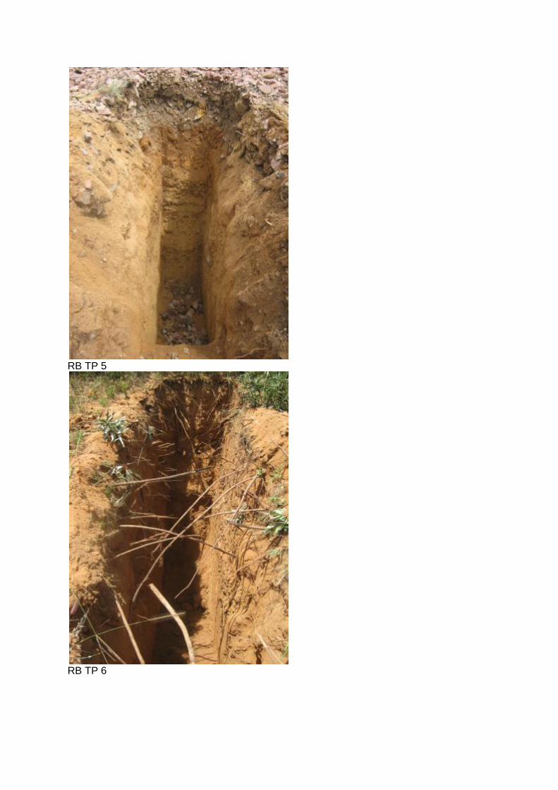
RB TP 5
RB TP 6
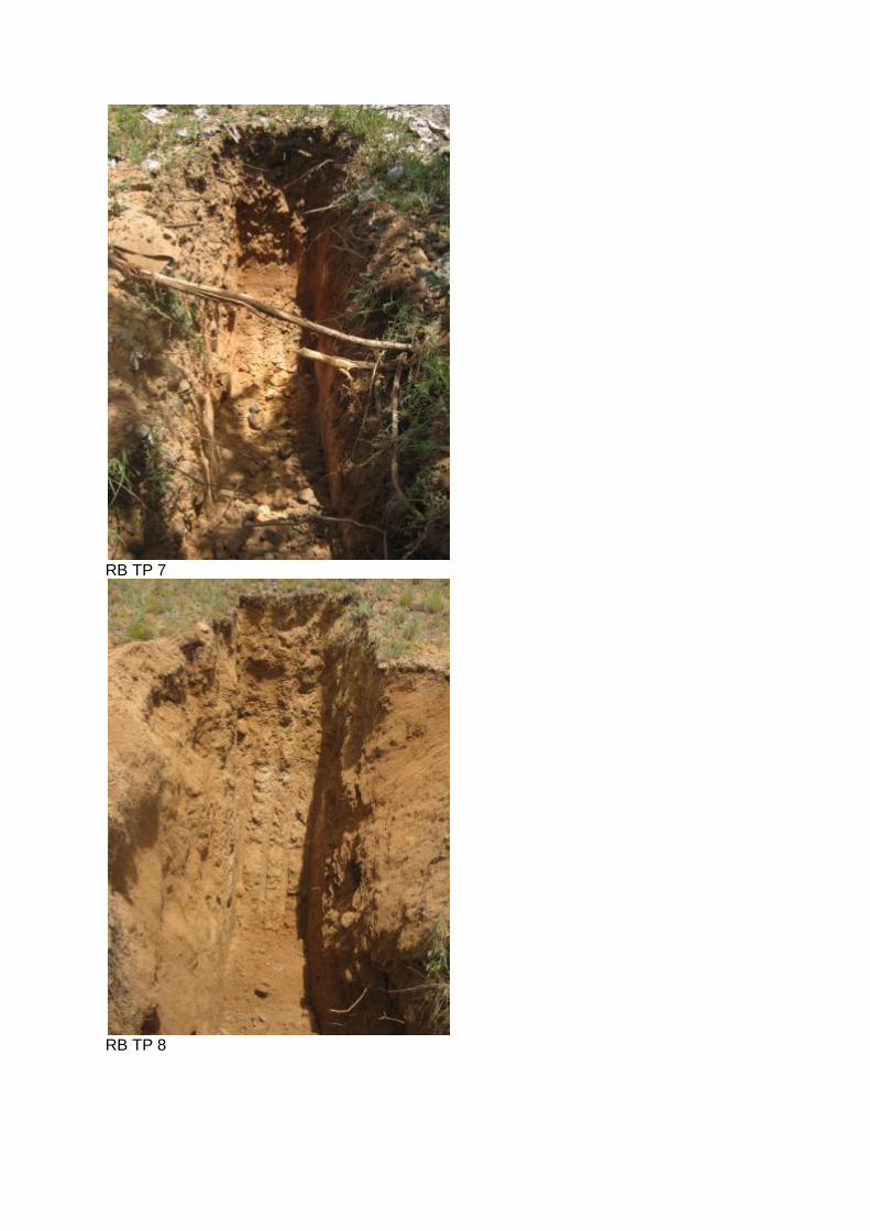
RB TP 7
RB TP 8