QGIS 3.0 – What end users need to know - North Road · OTF Projection” is always on New “No...
36
QGIS 3.0 – What end users need to know
Transcript of QGIS 3.0 – What end users need to know - North Road · OTF Projection” is always on New “No...

QGIS 3.0 –What end users need to know

Nyall Dawsonhttp://nyalldawson.net
http://north-road.com

Nathan Woodrowhttps://nathanw.net/
https://www.technologyonecorp.com/

This is NOT** a“what’s new in QGIS 3.0” talk!
**maybe a little

Background Tasks

● Saving raster/vector layers● Saving map renders
● Processing algorithm execution● Feature counting
+ More to come in future releases!

OTF Projection Changes

● “OTF Projection” is always on● New “No Projection” option =
everything is Cartesian, treated literallyand unitless
● Makes incorrect layer CRS easier todetermine, area/distance calculations
more predictable

Removal of “Core” Plugins

Oracle RasterDXF2SHP
= GONE!

HeatmapRoad Graph
Geometry SnapperRaster Terrain Analysis
InterpolationGDALtools
Spatial QueryZonal Statistics
Moved to Processing! Woo!

“Unified add layers window”

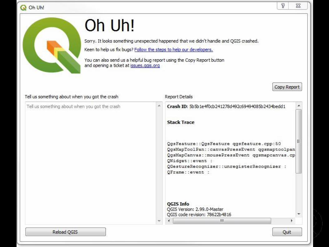
Exe load and crash handler

Settings Migration

● Migration of connection strings, colors.● Auth.db migration● Symbols migration

User Profiles

Node Tool/Move Features Tool

● “Click-click” method● Works with CAD dock!
● Multi-feature edits● Copy and move
Project Compatibility


Bump old projects up through 2.18

New Layer Group Behavior

Processing

● “Dropped” core providers (TauDEM, LAStools, R)● Options moved to general settings
● Transparent reprojection when required!● “Selected features only” has changed
● 100s of changes to algorithms

2.x Models are not compatible!

UI Consistency

● Transparency/Opacity● Rotation/Scale (labeling)

BONUSROUND!

MULTICANVAS!

3D!


SEARCHBAR!

+1000!