Publica Mundi factsheet...
5
PUBLICA MUNDI SCALABLE REUSABLE OPEN GEOSPATIAL DATA PUBLICA MUNDI AIMS TO DEMOCRATIZE OPEN GEOSPATIAL DATA PUBLISHING AND REUSE, MAKING EASIER FOR PUBLISHERS TO SHARE DATA AND FOR DEVELOPERS TO DISCOVER AND REUSE DATA PUBLICAMUNDI.EU
-
Upload
truongnguyet -
Category
Documents
-
view
215 -
download
0
Transcript of Publica Mundi factsheet...

PUBLICAMUNDI
SCALABLE REUSABLE
OPEN GEOSPATIAL
DATAPUBLICA MUNDI AIMS TO
DEMOCRATIZE OPEN GEOSPATIAL DATA PUBLISHING AND REUSE,
MAKING EASIER FOR PUBLISHERS TO SHARE DATA AND FOR DEVELOPERS TO
DISCOVER AND REUSE DATA
PUBLICAMUNDI.EU
PUBLICAMUNDI.EU
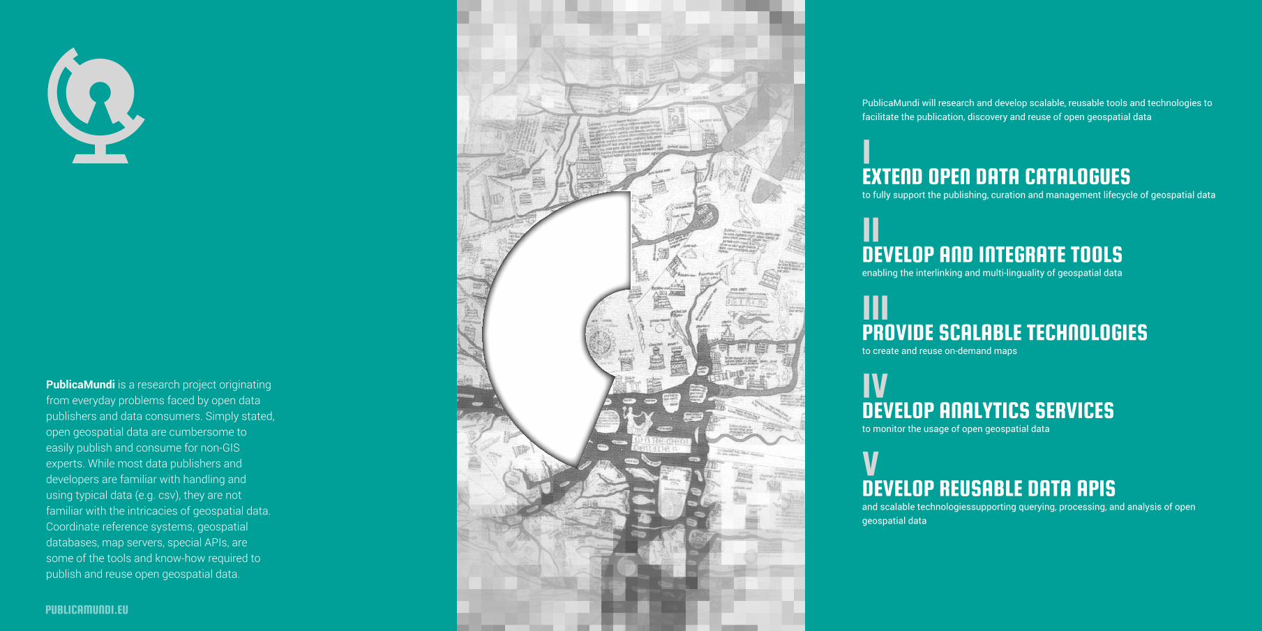
PublicaMundi will research and develop scalable, reusable tools and technologies to facilitate the publication, discovery and reuse of open geospatial data
IEXTEND OPEN DATA CATALOGUES to fully support the publishing, curation and management lifecycle of geospatial data
IIDEVELOP AND INTEGRATE TOOLS enabling the interlinking and multi-linguality of geospatial data
IIIPROVIDE SCALABLE TECHNOLOGIES to create and reuse on-demand maps
IV DEVELOP ANALYTICS SERVICES to monitor the usage of open geospatial data
VDEVELOP REUSABLE DATA APIS and scalable technologiessupporting querying, processing, and analysis of open geospatial data
PublicaMundi is a research project originating from everyday problems faced by open data publishers and data consumers. Simply stated, open geospatial data are cumbersome to easily publish and consume for non-GIS experts. While most data publishers and developers are familiar with handling and using typical data (e.g. csv), they are not familiar with the intricacies of geospatial data. Coordinate reference systems, geospatial databases, map servers, special APIs, are some of the tools and know-how required to publish and reuse open geospatial data.

CHALLENGES GOALS
PUBLICAMUNDI.EU
Comprehensive, real-world validation through geodata.gov.gr, of the project’s methodologies and software components regarding usability, sustainability and purposefulness for developing valued added applications
GEOSPATIAL-AGNOSTIC CATALOGUES
Open data catalogues provide limited support for geospatial data. Geospatial data is treated as second class citizens, with insufficient capabilities in publishing methodologies and tools, limited technical foundations to support value added services, and simplistic non-scalable support for geospatial data visualization
GEOSPATIAL DATA AS FIRST CLASS CITIZENS
PublicaMundi will provide reusable tools and technologies for comprehensive, sophisticated and scalable publishing of open geospatial data, with emphasis on streamlining and maximizing their reuse in value added services and applications. In particular we will deliver:
NON-INTERLINKED DATA
Open geospatial data are rarely interlinked with other data. Because of this, disambiguation issues arise regarding geospatial entities and as a consequence cleansing, curation and fusion become hard processes relying on manual labor. As a result, data cannot be efficiently and immediately used by the private sector and especially SMEs, undermining their efforts to build value added services
INEFFICIENT MAP PROVISION
The foundation of geospatial applications is the visualization of information on interactive web maps where information is overlayed. Currently, map provision support in open data catalogues is limited, not allowing custom of on- the-fly thematic maps by combining various datasets, nor APIs for integrating web maps to third-party services. Moreover, maps are not optimized for multimodal delivery, being resource intensive for mobile applications
INEFFICIENT PROCESSING
Due to their nature, querying and processing geospatial data is inherently resource-intensive. Open data catalogues provide support for typical tabular data but lack support for geospatial data. In particular they do not support Web Processing Services (WPS) which extend a web mapping server to provide efficient geospatial processing and analysis services
A sustainable, efficient, traceable and easy to use publishing methodology, fully supporting the entire lifecycle of open geospatial data
Reusable software components implementing mapping and analytics services for demand-aware visualization of open geospatial data, enabling rapid integration in multimodal and value added applications
An open geospatial data catalogue with full support for open geospatial data curation and management, integrating the advanced data interlinking, multi- linguality, processing, analysis, mapping, and visualization software components developed
A showcase of EU innovation for open geospatial data, mobilizing EU members states, SMEs and individuals towards realizing the EU Data Economy
Technologies and tools to assist in interlinking and multilingual support of open geospatial data in order to increase their value, relevance, and applicability for value added applications

INSTITUTE FOR THE MANAGEMENT OF INFORMATION SYSTEMS
GEOLABS GET
RASDAMAN
PARTNERSIMPACT
PUBLICAMUNDI.EU
The project’s impact will be to accelerate the establishment of a Data Economy in the EU for open geospatial data, and the materialization of its tangible benefits:
• Innovative and lower cost products• Value added services and applications• New business models based on data-intensive applications and analysis
The project addresses the specific needs of the data economy stakeholders in relation to open geospatial data reuse.
Athena is a leading RTD institution active in research on all aspects of open data with specific emphasis on geospatial data. Athena developed and maintains geodata.gov.gr, Greece’s open geospatial data catalogue. Operating since 8/2010, it was one out of eight national open data portals worldwide. It has led to direct savings of 20M€ for the public sector alone and is actively used by 1.000 users/day.
www.imis.athena-innovation.gr
Rasdaman is a high-tech SME leading the development of rasdaman, an open source exascale big geospatial data analysis server. Rasdaman is a raster database system developed in the context of various RTD projects and provides fast, scalable, flexible and open standards web-based big data analysis for geospatial data.
www.rasdaman.com
GET is a high-tech SME active in the entire lifecycle of geospatial data. It produces, maintains and curates geospatial data and develops high-value geospatial applications. GET has significant market experience, networking ties, and exploitation channels, with emphasis in cost effective open-source based services
www.getmap.gr
GeoLabs is a high-tech SME leading the development of numerous open source geospatial projects, among which the ZOO-Project, a web processing framework for geospatial data. ZOO provides a WPS-compliant developer-friendly framework to create, manage, chain, and execute WPS
www.geolabs.fr
PRIVATE SECTOR
The private sector and specifically SMEs, will have access to high value open geospatial data and reusable, cost effective software components and services, readily available for integration in value added applications.This can lead to significant efficiency gains, reduced implementation time, lower product/services costs, and overall higher quality services. Moreover, open geospatial data can lead to new commercial activities and services, focused on large scale, data-intensive innovation
PUBLIC SECTOR
For the public sector on an EU, national, and regional level, the application of efficient geospatial data publishing methods and tools can lead to economical, efficiency, and policy benefits.Easier discovery and reuse of open geospatial data can result to increased administrative efficiency, de facto technical and semantic interoperability, increased quality of information, and overall reduced costs

PublicaMundi is a research project funded by European Commission's 7th Framework Programme.
Grant Agreement No: 609608
IMIS.ATHENA-INNOVATION.GR
PUBLICAMUNDI.EU