Project 6 All-Season Road Linking Manto Sipi Cree Nation...
26
Project 6 – All-Season Road Linking Manto Sipi Cree Nation, Bunibonibee Cree Nation and God’s Lake First Nation Environmental Assessment Summary (Round 6) - Presentation to God’s Lake Narrows November 7, 2017
Transcript of Project 6 All-Season Road Linking Manto Sipi Cree Nation...
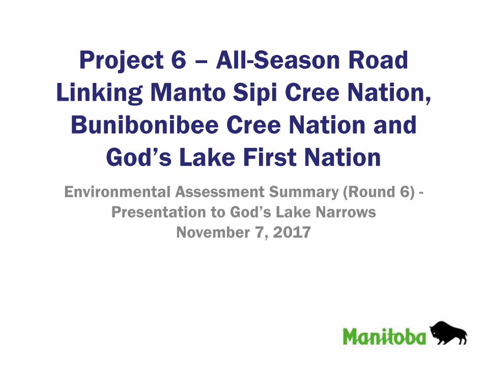
Project 6 – All-Season Road
Linking Manto Sipi Cree Nation,
Bunibonibee Cree Nation and
God’s Lake First Nation
Environmental Assessment Summary (Round 6) -
Presentation to God’s Lake Narrows
November 7, 2017

– Provide information about the proposed P6 All-Season Road Project
– Discuss the previous meetings
– Summarize potential effects and mitigation measures
– Hear from you about what you value, so that it can be considered in the Environmental Assessment (EA) and addressed in the project design
Why are we here?

Project P6 – All-Season Road

Project P6 – All-Season Road

Description of Project P6
• 138.3 km ASR linking Manto Sipi, Bunibonibee and God’s Lake:– 66.4 km section joining
Bunibonibee and God’s Lake– 71.9 km section from Manto Sipi
intersecting the above
• Includes two major water crossings:– God’s River– Magill Creek
• Approximately 51 minor crossings or drainage equalization culverts

Major Water Crossings
God’s River
Magill Creek

Prior Community Discussions
• Since 2009, meetings have been held with God’s Lake Narrows to discuss the project and select the best road location (Previous to the EA)– Community Meetings
• June 9, 2010
• April 17, 2009
– Traditional Knowledge (TK) Studies, Workshops and Interviews• March 22, 2016
• October 6, 2015
• April 17, 2009

Prior Community Discussions
• Past discussions resulted in changes to the potential route to avoid sensitive areas based on community input
• Specifically for the EA meetings were held on December 9, 2016 (Round 4) and March 24, 2017 (Round 5)

Round 4 Meeting
• Was held on December 9, 2016
• The purpose of the meeting was to:– Provide an overview of the project
– Inform the community of the overall Environmental Assessment (EA) process
– Discuss how the proposed road alignment has evolved based on feedback to avoid community sensitive areas
– Dialogue with the community about which Valued Components should be the focus of the EA process

Summary of What We Heard –
Round 4 Meeting
• What we heard from you:– Touchwood and Knife Lake are important for
moose and a lot of moose hunting occurs at Bayly Lake and Fishing Eagle
– The road will increase fishing access and could increase the risk to introduce zebra mussels into God’s Lake
– Young people will have a hard time/life as they will not have the land knowledge to survive and Elders will be gone by the time the road is built
– There should be more youth involvement and other means of engagement and feedback
– An Elder indicated they would like to see a permanent road between Oxford House, God’s Lake Narrows, God’s River and the Island Lake communities first to provide easier, safer and earlier access among these communities and then connect to the rest of the network
– The Project will provide much needed employment and make our lives easier and safer

Round 5 Meeting
• Was held on March 24, 2017
• The purpose of the meeting was to:– Provide an overview of the project
– Discuss Round 4 meeting
– Discuss potential effects and possible mitigation measures
– Hear from the community about what you value, so that it can be considered in the Environmental Assessment and addressed in the Project design

Summary of What We Heard –
Round 5 Meeting
• What we heard from you:– Animals get used to changes and adapt to noise
and people as shown by beavers building dams at the end of the airstrip and foxes in the vicinity of the airport that don’t seem bothered by the noise
– Cranes nest annually on the east end of God’s Lake so this area should be avoided during nesting season
– The Environmental Assessment for the Project seems to be thorough and photos of other east side road projects look “beautiful”
– The interests raised by God’s Lake First Nation (crossing traplines, creek crossings and how the road will be constructed) are similar to those that God’s Lake Narrows have
– The lack of attendance at the meeting was noted even though it was advertised, possibly as members have gone to buy supplies before the winter road closes

What Is Environmental Assessment

Baseline Data
• Traditional Knowledge (TK)
• Baseline studies to augment TK studies– Vegetation– Wildlife– Archaeology/Heritage– Fish and Habitat
• Used to confirm alignment
• Provide information for the Environmental Assessment
• Used to assist in project design and construction

Inputs Into The EA Process

Mitigation measures are actions that can be done to avoid or reduce the effects that a project may have on the environment.
How to Address Possible Effects

Potential Effects
Moose and Caribou

Potential Effects
Furbearers

Potential Effects
Birds

Potential Effects
Vegetation

Potential Effects
Fish, Reptiles and Amphibians

Potential Effects
Heritage and Cultural Sites

Potential Effects
Traditional Resource Activities
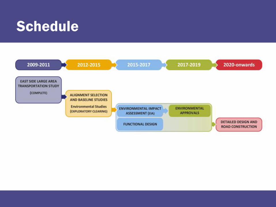
Schedule

Table Talks!
Please stay and talk with us!• We want to hear and learn from you!• Write on the boards• Tell us what is important to you, and
what should be considered• Please complete a comment sheet
Next Steps:• Finalize the Environmental Impact
Statement and submit to federal and provincial regulators by early 2018
• On-going communication and dialogue with the communities
Moose
Caribou

Thank you for your participation
Contact Information:
Phone 1-204-945-3660
Fax 1-204-945-0593