Physical features of pakistan
29
Physical Features of Pakistan
-
Upload
amad-qurashi -
Category
Environment
-
view
281 -
download
10
Transcript of Physical features of pakistan

Physical Features of Pakistan

Satellite view of South Asia

Political Map of Pakistan

Neighbors of Pakistan
Coordinates:
Latitude:
24° N - 37 °N
Longitude:
61 °E - 75.5 ° E
Total Area:
796,096 sq km
Altitude:
Highest point:
K-2 (8611m)
Deepest point:
Dasu patan (6500m)
Lowest point:
Sea level 0 (feet)

Immediate Neighbor Countries
Countries Direction Length of border (Km)
China North 592
India East 1600
Arabian Sea South 1000
Iran South West 850
Afghanistan West 2250

Physical Map of Pakistan
Physical Division of Pakistan
Generally We can classify the Pakistan into Four Major Physical provinces which are:
1. Mountains
2. Plains
3. Plateaus
4. Deserts

Mountains
There are three distinct Mountain ranges
• Northern Mountainso Karakoram Ranges
o Himalaya Rangeso Greater Himalayas
o Lesser Himalayas
o Siwaliks
• North Western Mountainso Hindukush
•Western Mountainso Safed Koh Ranges
o Waziristan Hills
o Suleman and Kirthar Range

Northern Mountains
Sub HimalayasHeight: 600-1200
meter
Great HimalayasHeight: more than
4600 meter
Lesser HimalayasHeight: 1800-4600
meter
Himalayas:
Northern Mountains
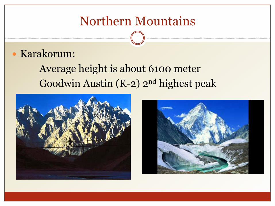
Karakorum:
Average height is about 6100 meter
Goodwin Austin (K-2) 2nd highest peak
North Western Mountains
Hindu Kush Mountains:
Originates from Pamir plateau.
highest peaks are Noshaq (7369 m) and Tirchmir (7690 m)
lies in the west of Himalaya and karakorum
Western Highlands
Western highland comprises of the following three mountain ranges.
1. The koh-e-sofaid ranges:1. Average height is about 3600 m
2. Highest peak is Sikaram (4700 m)
3. Located in East-West Direction
4. Kurram and Kohat valley lies in this range.

Western Highlands
Waziristan hills:
1. Located between Gomal and Kurram river.
2. Its Height ranges from 1500 - 3000 meter.
3. These range forms the border between Afghanistan and Pakistan
4. Famous Khyber pass lies in this Range.

Western Highlands
The Suleman and Kirthar Ranges:
1. Starts from South of Gomal River
2. Lies between the Baluchistan plateau and the Indus river.
3. Average height is about 600 m.
4. Takht-e-Suleman is the highest point (3487 m)
5. In south The Suleman joins the kirthar range.
6. And Kirthar merges into the kohistan area of Sindh.

The Suleman and Kirthar Ranges:
Here We can see the Releif of Suleman and Kirthar range

The Indus Plains

The Indus Plains
The Whole Indus plain comprises the 20% of the Pakistan.
We can divide it into three parts;
1. Upper Indus Plain
2. Lower Indus Plain
3. Deltaic Plain
The Indus Plains
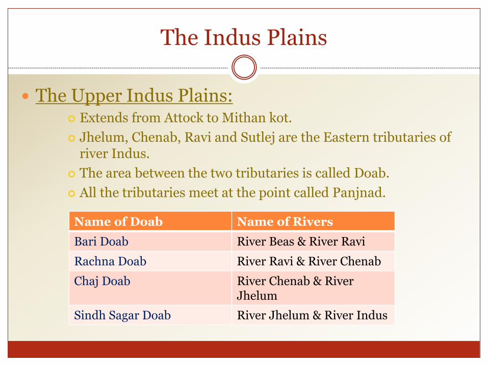
The Upper Indus Plains: Extends from Attock to Mithan kot.
Jhelum, Chenab, Ravi and Sutlej are the Eastern tributaries of river Indus.
The area between the two tributaries is called Doab.
All the tributaries meet at the point called Panjnad.
Name of Doab Name of Rivers
Bari Doab River Beas & River Ravi
Rachna Doab River Ravi & River Chenab
Chaj Doab River Chenab & River Jhelum
Sindh Sagar Doab River Jhelum & River Indus

The Indus Plains

The Indus Plains
The Lower Indus Plains:
It extends from Mithan kot to Thatta.
This is the old stage of river Indus.
Due to the very less gradient speed of Indus is very slow.

The Indus Plains
The Deltaic Plain: Total length is 1000 km
• While 700 Km lies in Baluchistan
• And about 300 km lies in Sind.
Thatta and Badin districts in Sind.\
Mangrove forests are the significant feature of the Sind Deltaic plain.
The coastal area lies in Baluchistan is called makran coastal plain.
Deserts of Pakistan
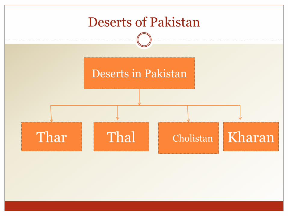
Deserts in Pakistan
Thar Thal Cholistan Kharan

Deserts of Pakistan
Thar Desert:
This desert lies in the South east of Pakistan.
This desert is the extension of Rajasthan desert of India.
The Section of this desert situated in the Bahawalpur division is called Cholistan.

Deserts of Pakistan
Thal Desert:
Thal desert lies between the River Indus and Jhelum.
Kharan Desert:
The Kharan desert located in the North west Baluchistan.
The average rainfall is less than 100 mm.

The Plateaus of Pakistan
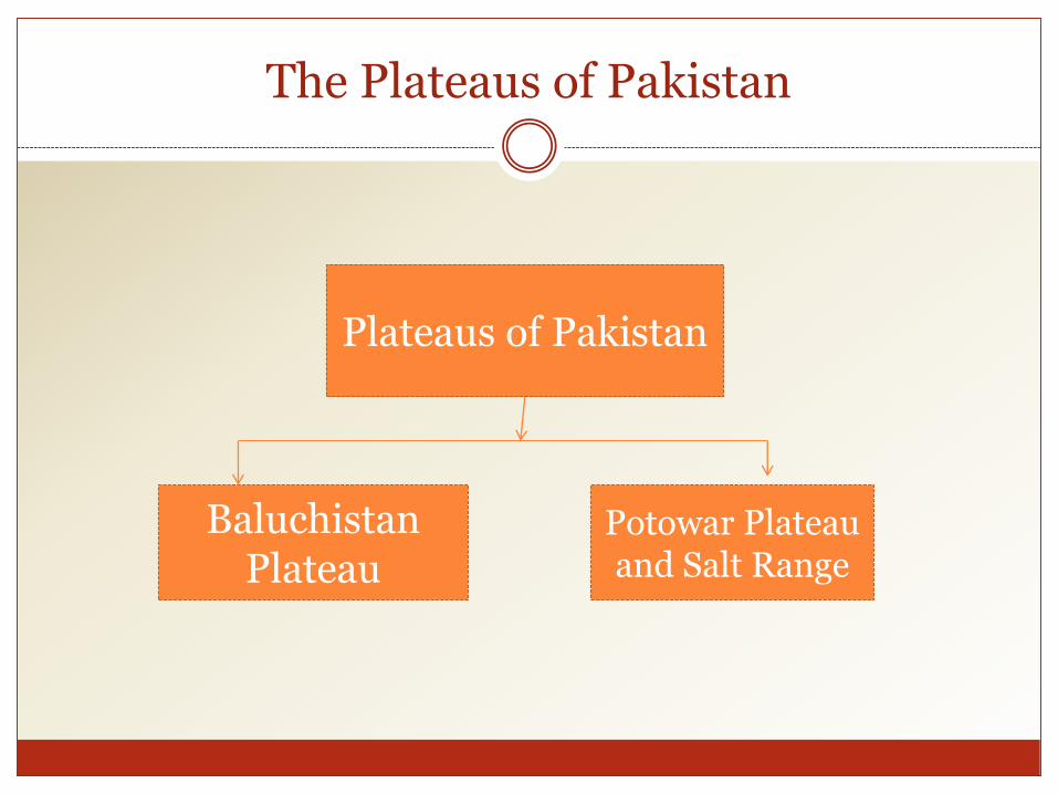
Plateaus of Pakistan
Baluchistan Plateau
Potowar Plateau and Salt Range
The Plateaus of Pakistan
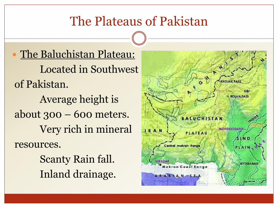
The Baluchistan Plateau:
Located in Southwest
of Pakistan.
Average height is
about 300 – 600 meters.
Very rich in mineral
resources.
Scanty Rain fall.
Inland drainage.

The Plateaus of Pakistan
The Potwar Plateau & The Salt Range:
1. Located between River Indus & River Jhelum
2. Height 300 to 600 meters from sea level.
3. Soan River is main river. It forms gullies and large alluvial
plains, mainly used for agriculture.
4. Rich in minerals like rock salt, gypsum, lime stone, coal,
marble, clays, dolomite & soapstone and oil.
5. While average height of Salt range is 750 to 900m.
6. Sakesar Peak is the highest point in the Salt Range at a
height of 1527m.

Thank You