“Perspectives on Montana’s Petroleum Industry” MREA-MPA-MONTAX “Bridges to the Future”...
10
“Perspectives on Montana’s Petroleum Industry” MREA-MPA-MONTAX “Bridges to the Future” Conference October 15, 2009 Dave Ballard President Ballard Petroleum Holdings LLC Billings, Montana
-
Upload
maud-kerry-townsend -
Category
Documents
-
view
219 -
download
1
Transcript of “Perspectives on Montana’s Petroleum Industry” MREA-MPA-MONTAX “Bridges to the Future”...

“Perspectives on Montana’s Petroleum Industry”
MREA-MPA-MONTAX“Bridges to the Future” Conference
October 15, 2009
Dave BallardPresident
Ballard Petroleum Holdings LLCBillings, Montana
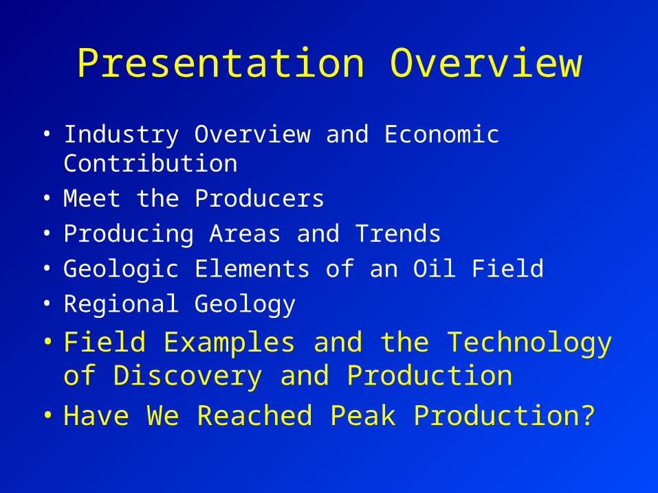
Presentation Overview
• Industry Overview and Economic Contribution• Meet the Producers• Producing Areas and Trends• Geologic Elements of an Oil Field• Regional Geology
• Field Examples and the Technology of Discovery and Production
• Have We Reached Peak Production?

Field Examples and the Technology of Discovery and Production
• Surface Geologic Mapping• Subsurface Geologic Mapping• Seismic Mapping• Shallow “Tight” Gas Frac Stimulation• Horizontal Drilling and Frac Stimulation• Waterflood Enhanced Oil Recovery• CO2 Flood Enhanced Oil Recovery• Sensitive Environment Operations

Subsurface Prospect Mapping ExamplesFred & George Creek (1963)
Bell Creek (1967)
Elm Coulee(2000)
Cutbank (1926)
Sumatra (1952)
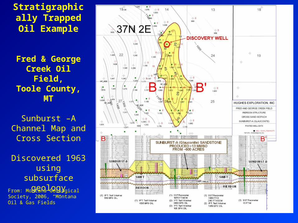
Stratigraphically Trapped Oil
Example
Fred & George Creek Oil Field,Toole County,
MT
Sunburst –A Channel Map and
Cross Section
Discovered 1963 using subsurface
geologyFrom: Montana Geological Society, 2006, “Montana Oil & Gas Fields”

From: Montana Geological Society, 2006, “Montana Oil & Gas Fields”
Bell Creek Oil Field, Powder
River County, Montana
Muddy Sand Isopach Map
Discovered 1967 usingsubsurface
geology
Cum 132 MMBO

Bell Creek Oil Field, Powder River County, Montana
17 dry holes drilled in the area prior to discovery

NE Montana Red River Play Many small fields discovered using 2D and 3D seismic technology
Updated as of May, 2009
NE Montana Red River,

Bainville North Oil Field, NE Montana3D Seismic Survey
6.5 mi
5.2 mi
From: Sheridan, Montana Tech, “Geology of the Bainville North Oil Field”

Detailed Structure Map from 3D Seismic
From: S. Mogensen, St. Mary Land & Exploration Company