OCEAN CYCLE FORECASTS - ICECAPicecap.us/docs/change/ocean_cycle_forecasts.pdfMultivariate ENSO Index...
13
OCEAN CYCLE FORECASTS By Joseph D’Aleo In the section on Ocean Cycles under Climate Change Factors, we showed how the multidecadal cycles in the Atlantic and Pacific had a major influence on temperatures as well as storm tracks and resulting precipitation. The recent warm phases of these cycles have contributed to the warming in recent years (along with abnormally low volcanic activity (see volcanism under Climate Change Factors). Climate changes in the upcoming decades will depend on what the sun does (does it go quiet as many solar cycle models suggest) and when the multidecadal cycles in the oceans flip modes. There are signs one of these, the Pacific Decadal Oscillation may be in the process of changing phase. The other cycle, the Atlantic Multidecadal Oscillation probably has some time to go before it changes, based on historical trends. PACIFIC DECADAL OSCILLATION Mantua et al in 1997 found while trying to examine why salmon fishing had a boom bust cycle in the Pacific Northwest discovered a basin wide multi-decadal time scale oscillation in ocean temperatures and pressure he named the Pacific Decadal Oscillation. During one phase, what he called the positive or warm phase, which he observed from 1922 to 1947 and again after 1978, water is warm in the coastal areas off Alaska and down to the NINO regions of the Tropical Pacific.
Transcript of OCEAN CYCLE FORECASTS - ICECAPicecap.us/docs/change/ocean_cycle_forecasts.pdfMultivariate ENSO Index...
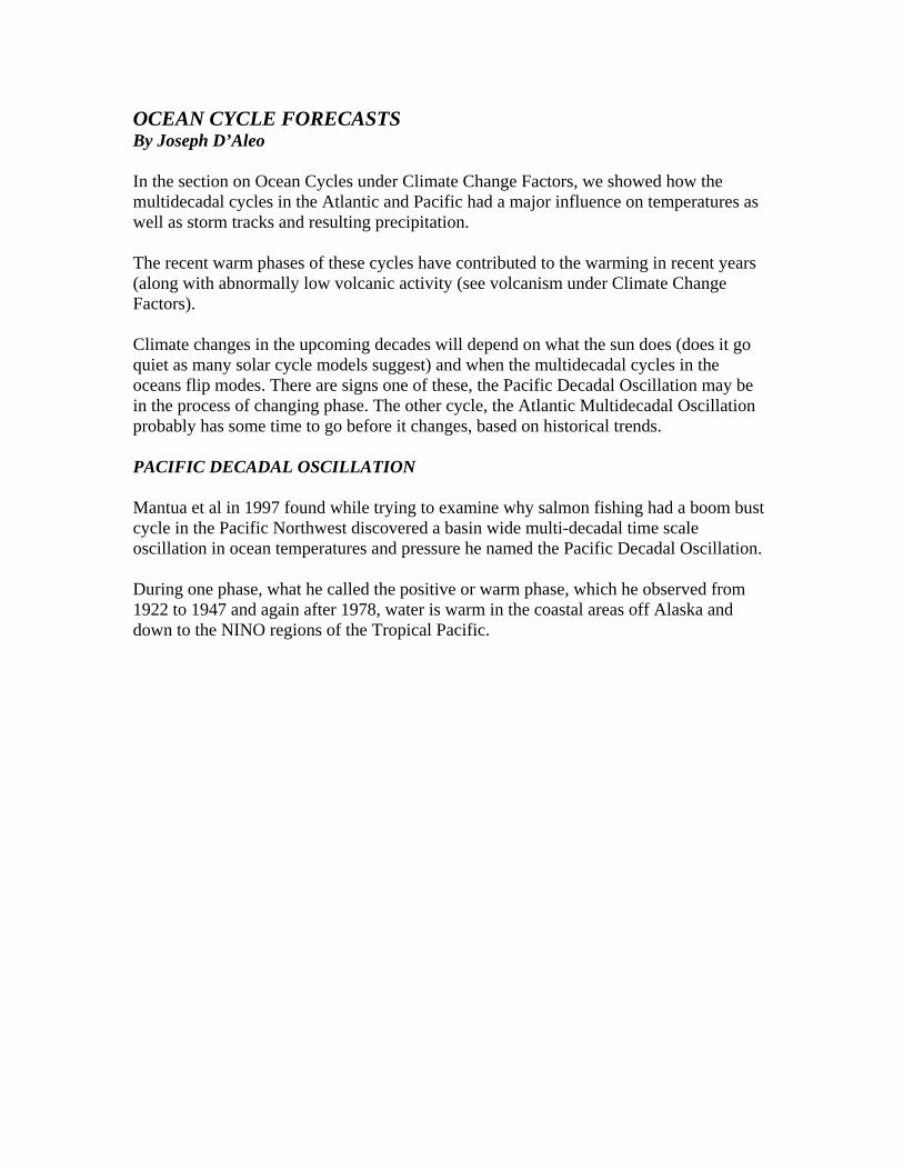
OCEAN CYCLE FORECASTS By Joseph D’Aleo In the section on Ocean Cycles under Climate Change Factors, we showed how the multidecadal cycles in the Atlantic and Pacific had a major influence on temperatures as well as storm tracks and resulting precipitation. The recent warm phases of these cycles have contributed to the warming in recent years (along with abnormally low volcanic activity (see volcanism under Climate Change Factors). Climate changes in the upcoming decades will depend on what the sun does (does it go quiet as many solar cycle models suggest) and when the multidecadal cycles in the oceans flip modes. There are signs one of these, the Pacific Decadal Oscillation may be in the process of changing phase. The other cycle, the Atlantic Multidecadal Oscillation probably has some time to go before it changes, based on historical trends. PACIFIC DECADAL OSCILLATION Mantua et al in 1997 found while trying to examine why salmon fishing had a boom bust cycle in the Pacific Northwest discovered a basin wide multi-decadal time scale oscillation in ocean temperatures and pressure he named the Pacific Decadal Oscillation. During one phase, what he called the positive or warm phase, which he observed from 1922 to 1947 and again after 1978, water is warm in the coastal areas off Alaska and down to the NINO regions of the Tropical Pacific.

This correlated with above normal temperatures in western North America and Alaska and below normal temperatures in the southeastern United States which has been observed. It also meant more El Ninos. This can be clearly seen from the plot of Wolter’s Multivariate ENSO Index Where red spikes are El Nino and blue La Nina. In the warm

phase since 1978, we have had nearly twice as many El Ninos as La Ninas.
In general, El Ninos lead to global warmth which can be seen on the following satellite analyses from Spencer and Christy of lower tropospheric global temperatures.

El Ninos affect favored storm tracks. El Ninos favor in winter a southerly storm track into California across the desert southwest, southern Rockies, Texas and the Gulf States and then up the east coast or out to sea. This has meant since 1978 in winters areas of the Pacific Northwest, Northern Rockies, much of the central United States and much of Western Canada had below normal winter snows while areas to the south had abnormally high snowfall amounts. This has been observed by Mote et al. (2005), Scott and Kaiser (2003) and Kunkel 2007 (AMS Preprints). Meanwhile some areas of the east have experienced record single storm, season and multi-season snowfall records. In El Nino summers, the opposite pattern occurs, with cooler and wetter conditions especially across the northern states. It can be hot and dry in the south. In the cold PDO phase, the opposite patterns occur both winter and summer from El Nino years. As shown in the MEI diagram, La Ninas occur roughly twice as often as El Ninos in the cold phase. The satellite diagram shows global temperatures tend to cool after La Ninas. In winter La Ninas mean a northerly storm track and more precipitation and snowfall for the Pacific Northwest, Canadian and Northern US Rockies, Plains and across to Northern and central Plains, Great Lakes and northern New York and New England. It favors less snow to the south. And dryness can be an issue from California to the Gulf States and up to at least the Mid-Atlantic and southern New England. Summers in La Nina years tend to be hot and dry across the northern states while it turns wetter across the south. They also favor more landfalling hurricanes, especially when the Atlantic is in its warm (active) mode. WHERE DO WE GO FROM HERE? Well since PDO phases have tended over the past 100 years to change phase about every 25 to 30 years, a phase change is about due (it has been 29 years since the Great Pacific Climate Shift in 1978 when the PDO last flipped). It looked like it was about to flip in 1997 when 3 years of negative PDO and La Nina developed but it reverted back positive in the El Nino of 2002 but has since been slowly and erratically again declining. The fact that the moderate El Nino of 2006/07, did not cause the PDO to become more positive (the normal occurrence), suggests that perhaps it is indeed entering the cold phase. The cold phase would mean
(1) More La Ninas (2) More western and northern winter cold and snow, and southern winter warmth
and dryness (3) Increased likelihood of summer heat and drought across the northern tier

(4) More spring brush and fires in Florida and southern plains winter drought (5) More active hurricane seasons with more landfalling east coast hurricanes,
especially while the Atlantic is in its warm active mode THE ATLANTIC MULTIDECADAL OSCILLATION Like the Pacific the Atlantic Ocean temperatures undergo changes ion the scale of decades. The approximate 70 year cycle can be seen in the records going back to the middle 1880s and according to the Russians for centuries before. Sine 1995, the Atlantic has been in its warm mode. When the Atlantic is in its warm mode, it tends to be warm in the North Atlantic as well as the tropics. This favors more tropical storms in summer and high latitude blocking with winter storms in winter. The warm mode typically is characterized by a tripole of temperature anomalies with warmth in the North Atlantic and the Tropical Atlantic and relative coolness between.
Annual Atlantic MultiDecadal Oscillation (AMO)
-2.5
-2
-1.5-1
-0.5
0
0.5
11.5
2
2.5
1856
1861
1866
1871
1876
1881
1886
1891
1896
1901
1906
1911
1916
1921
1926
1931
1936
1941
1946
1951
1956
1961
1966
1971
1976
1981
1986
1991
1996
2001
2006

The warm mode favors general warmth as the correlation map above shows across many parts especially in the Northern Hemisphere. The warm tropical water leads to more frequent and more intense hurricanes. Notice how the number increased after 1995 similar to what was observed in the last warm phase of the last warm phase from 1930 to 1963.

The AMO also influences the state of the North Atlantic Oscillation (NAO), favoring the NAO positive phase (a strong Icelandic low) when the Atlantic is cool and the negative NAO phase (weak Atlantic low or even Greenland blocks).

This is occurring again since 1995, with a tendency for more blocking a trend towards a negative NAO. It should be remembered, there is always intraseasonal variability in the NAO and the tendencies can be overridden by warm and cold stratospheric events near solar max or min that are modulated by the QBO.


WHERE DO WE GO FROM HERE Since we are only a dozen years into the warm cycle and most phases last 30 or more years, we might expect the warm phase to last for at least another decade or more. This will likely mean
(1) More active Atlantic hurricane seasons and when there are La Ninas, more threat of east coast landfalls (every year with a positive AMO that was a La Nina has had one or more landfalling east coast hurricanes)
(2) More winters with Greenland blocking events of note or duration, which can mean more snowstorms, especially during El Ninos
(3) More general warmth in the Northern Hemisphere although Bill Gray notes, this diminishes after 10-12 years of the warm phase which is now the case
NET EFFECT ON TEMPERATURESS Since the positive PDO means more El Ninos which favor general warmth and negative PDOs favor more La Ninas which favor general coolness, and a positive (warm) AMO favors widespread warmth an a negative (cool) AMO coolness, the sum of the two indices after standardization might be useful as a Ocean Warming Index.

The sum would suggest the period from the 1800s to early 1920s should be cool, from the later 1920s to the 1950s warm, the period from the late 1950s to late 1970s cool and then finally a warming after 1978. This matches NCDC Annual Mean Temperatures for the United States to a tee.

The last warm period lasted about 30 years. We are coming close to 30 years since the OWI changed phase last. With the PDO appearing to be in decline and the AMO past its peak, we may see temperatures react down. According to the CRU Annual global mean temperature, we have not exceeded the 1998 peak, thus, that trend down may have already begun. Contactts: Joseph D’Aleo CCM, Fellow, [email protected] 603 595-4439 George Taylor Oregon State Climatologist [email protected] REFERENCES:
AMS Glossary of Meteorology, Second Edition, 2000

Bunkers, M., Miller, D., DeGaetana, D.: An Examination of the El Nino/La Nina Relative Precipitation and Temperature Anomalies across the Northern Plains;,Journal of Climate, January 1996, 147-160
Barnston, A., Livesey, R., Halpert, M.,:Modulation of Southern Oscillation - Northern Hemisphere Mid-Winter Climate Relationships by the QBO; Journal of Climate, February 1991, 203-217
Changnon, S., Winstanley, D.:2004: Insights to Key Questions about Climate Change, Illinois State Water Survey, http://www.sws.uiuc.edu/pubdoc/IEM/ISWSIEM2004-01.pdf
Climate Change Impacts on the United States: The Potential Consequences of Climate Variability and Change National Assessment Synthesis Team USGRCP, June 2000
Kerr, R. A., A North Atlantic climate pacemaker for the centuries, Science, 288 (5473), 1984-1986, 2000.
Mantua, N, Hare, S.R., Zhang, Y., Wallace, J.M., Franic, R.C.: 1997, A Pacific Interdecadal Oscillation with impacts on Salmon Production, BAMS vol 78, pp 1069-1079
Mote, P.W., Hamlet, M.P. Clark, S., Lettenmaier, D.P.:Declining mountain snowpack in western north America, BAMS 2005 86, 36-49,
Noel, J., David Changnon, D.: A Pilot Study of Winter Cyclone Frequency Patterns Associated with Three ENSO Parameters:, Journal of Climate, August 1998, 2152-2159.
Scott, D., Kaiser, D.: Changes in Characteristics of United States Snowfall over the Last Half of the Twentieth Century, http://ams.confex/ams/pdfpapers/53981.pdf
Wolter, K., 1987: The Southern Oscillation in surface circulation and climate over the tropical Atlantic, Eastern Pacific, and Indian Oceans as captured by cluster analysis. J. Climate Appl. Meteor., 26, 540-558. Wolter, K., and M.S. Timlin, 1993: Monitoring ENSO in COADS with a seasonally adjusted principal component index. Proc. of the 17th Climate Diagnostics Workshop, Norman, OK, NOAA/N MC/CAC, NSSL, Oklahoma Clim. Survey, CIMMS and the School of Meteor., Univ. of Oklahoma, 52-57.