Nottingham Schools Trust Hill Primary Greenfields Community School Haydn Primary Heathfield Primary...
1
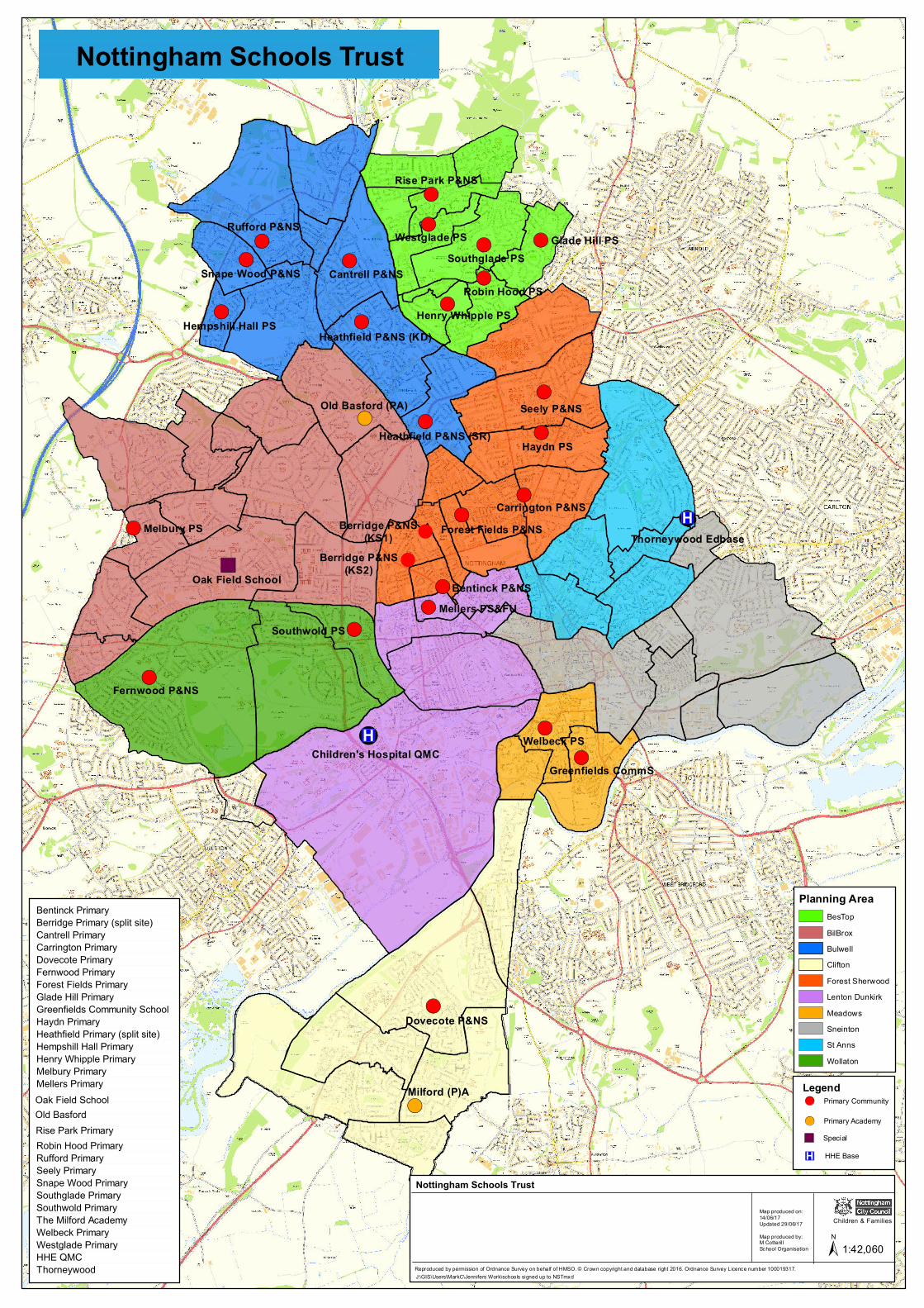
! ( ! ( ! ( ! ( ! ( ! ( ! ( ! ( ! ( ! ( ! ( ! ( ! ( ! ( ! ( ! ( ! ( ! ( ! ( ! ( ! ( ! ( ! ( ! ( ! ( " ) ! ( ! ! ! ® v ! ® v Berridge P&NS (KS1) Berridge P&NS (KS2) Haydn PS Welbeck PS Seely P&NS Melbury PS Westglade PS Rufford P&NS Milford (P)A Southglade PS Robin Hood PS Mellers PS&FU Glade Hill PS Fernwood P&NS Dovecote P&NS Cantrell P&NS Bentinck P&NS Rise Park P&NS Snape Wood P&NS Carrington P&NS Oak Field School Southwold PS Old Basford (PA) Henry Whipple PS Hempshill Hall PS Greenfields CommS Forest Fields P&NS Heathfield P&NS (KD) Heathfield P&NS (SR) Children's Hospital QMC Thorneywood Edbase Nottingham Schools Trust Planning Area BesTop BilBrox Bulwell Clifton Forest Sherwood Lenton Dunkirk Meadows Sneinton St Anns Wollaton Legend ! ( Primary Academy " ) Special ® v ! ( Primary Community HHE Base Bentinck Primary Berridge Primary (split site) Cantrell Primary Carrington Primary Dovecote Primary Fernwood Primary Forest Fields Primary Glade Hill Primary Greenfields Community School Haydn Primary Heathfield Primary (split site) Hempshill Hall Primary Henry Whipple Primary Melbury Primary Mellers Primary Oak Field School Old Basford Rise Park Primary Robin Hood Primary Rufford Primary Seely Primary Snape Wood Primary Southglade Primary Southwold Primary The Milford Academy Welbeck Primary Westglade Primary HHE QMC Thorneywood Reproduced by permission of Ordnance Survey on behalf of HMSO. © Crown copyright and database right 2016. Ordnance Survey Licence number 100019317. Nottingham Schools Trust Map produced on: 14/06/17 Updated 29/06/17 Map produced by: M Cotterill School Organisation J:\GIS\Users\MarkC\Jennifers Work\schools signed up to NSTmxd Children & Families ± 1:42,060
Transcript of Nottingham Schools Trust Hill Primary Greenfields Community School Haydn Primary Heathfield Primary...
!(
!(
!(
!(
!(
!(
!(
!(
!(!(
!( !(
!(
!(
!(
!(
!(
!(
!(
!(
!(!(
!(
!(
!(
")
!(
!
!
!®v
!®vBerridge P&NS(KS1)
Berridge P&NS(KS2)
Haydn PS
Welbeck PS
Seely P&NS
Melbury PS
Westglade PSRufford P&NS
Milford (P)A
Southglade PS
Robin Hood PS
Mellers PS&FU
Glade Hill PS
Fernwood P&NS
Dovecote P&NS
Cantrell P&NS
Bentinck P&NS
Rise Park P&NS
Snape Wood P&NS
Carrington P&NS
Oak Field School
Southwold PS
Old Basford (PA)
Henry Whipple PSHempshill Hall PS
Greenfields CommS
Forest Fields P&NS
Heathfield P&NS (KD)
Heathfield P&NS (SR)
Children's Hospital QMC
Thorneywood Edbase
Nottingham Schools Trust
Planning AreaBesTopBilBroxBulwellCliftonForest SherwoodLenton DunkirkMeadowsSneintonSt AnnsWollaton
Legend
!( Primary Academy
") Special
®v
!( Primary Community
HHE Base
Bentinck PrimaryBerridge Primary (split site)Cantrell PrimaryCarrington PrimaryDovecote PrimaryFernwood PrimaryForest Fields PrimaryGlade Hill PrimaryGreenfields Community SchoolHaydn PrimaryHeathfield Primary (split site)Hempshill Hall PrimaryHenry Whipple PrimaryMelbury PrimaryMellers PrimaryOak Field SchoolOld BasfordRise Park PrimaryRobin Hood PrimaryRufford PrimarySeely PrimarySnape Wood PrimarySouthglade PrimarySouthwold PrimaryThe Milford AcademyWelbeck PrimaryWestglade PrimaryHHE QMCThorneywood Reproduced by permission of Ordnance Survey on behalf of HMSO. © Crown copyright and database right 2016. Ordnance Survey Licence number 100019317.
Nottingham Schools Trust
Map produced on:14/06/17Updated 29/06/17Map produced by:M Cotteril lSchool Organisation
J:\GIS\Users\MarkC\Jennifers Work\schools signed up to NSTmxd
Children & Families
± 1:42,060