The Royal Navy's New-Generation Type 45 Destroyer: Acquisition ...
Innovation…Leadership…
Performance 2007 JSEMJosh Fortenberry (805) 982-4990
Naval Facilities Engineering CommandEngineering Service Center
avalavalnstallationnstallationestorationestorationnformationnformationolutionolution
NNIIRRI I SSNavy's Solution for Navy's Solution for Environmental Restoration Environmental Restoration Data ManagementData Management
2
Acknowledgments
NEDD/NIRIS WorkgroupNAVFAC Information Technology Center
(NITC)
Tetra Tech EMITetra Tech NUS
URSMIJARA

3
Outline
Naval Installation Restoration Information Solution (NIRIS)
•Naval Environmental Restoration (ER) Program•Components of NIRIS•Deployment Schedule•Interoperability / SDS•End User Tools

4
NIRIS

5
NIRIS
•NIRIS:–Naval Facilities Engineering Command
(NAVFAC) enterprise wide solution–Manage Environmental Restoration Program
(ERP) Data•Installation Restoration (Cleanup)•Munitions Response•For Navy, Marine Corps •Supports Base Realignment and Closure (BRAC)
–Provides easy access to quality data

6
NIRIS Vision
• Manage all Navy and Marine Corps ER data
– Environmental sample data– Munitions Response/ Unexploded
Ordnance Data– Administrative Record / Site File
Documents– GIS Facility Maps and IR Site Boundaries– Land Use Control Data

7
Environmental Restoration Program- Need for NIRIS
•Part of DoD ERP (DERP)–About 4500 active sites in Navy–About $300 million per year
•Terra Bytes of data, 100s of users!!–6 regional NAVFAC offices with multiple
contractors working on multipleinstallations that have multiple ER sites with multiplesample locations that can be sampled multiple times, and analyzed various ways with hundreds of analytes reported, and validated...
•How can we manage this???Solution: NIRIS

8
NIRIS Concept
•Central, web based database
•Tools to ensure only quality data gets loaded
•Tools to visualize and analyze data, including GIS
•Interoprable with other enterprise systems
CONTR C
CONTR A
NIRIS
8 regional offices
CONTR B
CONTR D
NAVFAC
Tools

9
NIRIS Vision• Non-proprietary• Navy Marine Corps Intranet (NMCI)
–compliant with DoD Information Technology Security Certification (DITSCAP)
–web-based (Citrix)–no desktop install–Some restrictions on server side
10
NIRIS Database
NIRIS Database
11
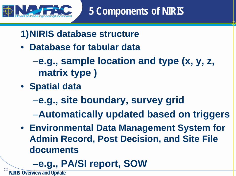
5 Components of NIRIS
1)NIRIS database structure• Database for tabular data
–e.g., sample location and type (x, y, z, matrix type )
• Spatial data–e.g., site boundary, survey grid –Automatically updated based on triggers
• Environmental Data Management System for Admin Record, Post Decision, and Site File documents–e.g., PA/SI report, SOW
NIRIS Overview and Update

12
Components continued
2) NIRIS Electronic Data Deliverable (NEDD) tables- 50 Standard data submittal forms e.g., analytical,
pump test, lithology. 3) Administrative tools, instructions and training
- SOPs- RPM Handbook,- NEDD Data Checker/Data Loader
4) End user data analysis and GIS-based visualization tools
- ArcIMS- ArcGIS via Citrix (runs on server, no desktop
installation)
13
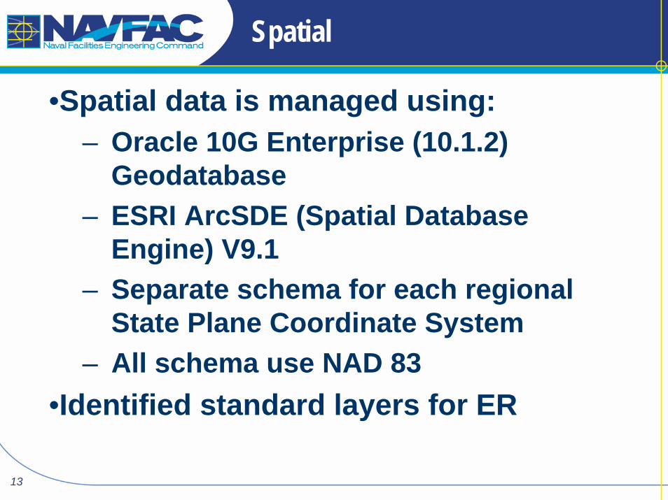
Spatial
•Spatial data is managed using:– Oracle 10G Enterprise (10.1.2)
Geodatabase– ESRI ArcSDE (Spatial Database
Engine) V9.1 – Separate schema for each regional
State Plane Coordinate System– All schema use NAD 83
•Identified standard layers for ER

14

15
Components of NIRIS
Tabular SpatialNIRIS Spatial DBNIRIS Database
Audit SchemaX – Y CoordinatesProjectionM&A Schema RefLocation Type
Location_CoordinatesLocation_Alias
NIRIS
Changes Database Link
NW Schema- ER Points
SW Schema- ER Points
NE Schema- ER Points
South Schema- ER Points
LANT Schema- ER Points
PAC Schema- ER Points
Admin Schema SDE SchemaJava & PL/SQL
Procedure: Update, Insert, Delete ER
PointsInfrastructure
Job Scheduler
Doc. Mgmt EDMS

16
Schedule
• Deployment in process•Training planned•Most FECs have legacy data staged•Historic data loading ongoing•Continue to add end user tools

17
Since Last JSEMS
•Migrated Servers to NMCI–Made changes to meet DoD IT security rules
•Central servers tested and ready•Just cleaned out beta test data
•Set up Geospatial components•Geodatabases
•Started work on Environmental Document Management System
18
Interoperability

19
Interoperability
•Key ID fields from other enterprise databases
•Centralized, Uniform database•SDS compliance
–Federal CADD/GIS Center’s Spatial Data Standard
–Not an easy decision: Big commitment, big investment!
• SDS is not normalized (duplication)• Legacy database mapping issues
20
SDS
•SDS compliant at “Experienced” level•Added fields to SDS structures (to make legacy data fit)
•Maximized database query efficiency by minimizing table ‘joins’
•Was partnering with CADD/GIS Center and provided data model to them, continue to work with DISDI

21
Interoperability
Interoperability allows:• Sharing, leveraging of data
– Regional Shore Installation Management System (RSIMS)
– NIRIS provides ER data e.g., IR site boundaries, Land Use Controls
– RSIMS provides base boundaries, buildings– NIRIS does not duplicate data in RSIMS
•Roll up of ER program data– GeoReadiness Repository
•DISDI Portal– Environmental Liabilities reporting
22
End User Tools
End User Tools
23
End User Tools
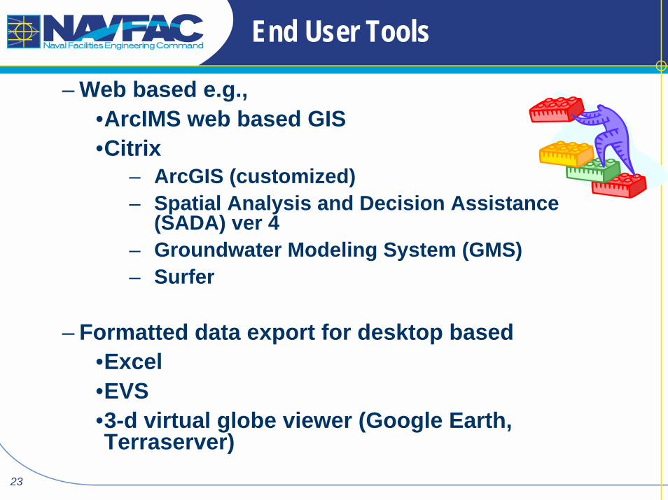
– Web based e.g., •ArcIMS web based GIS •Citrix
– ArcGIS (customized)– Spatial Analysis and Decision Assistance
(SADA) ver 4– Groundwater Modeling System (GMS)– Surfer
– Formatted data export for desktop based•Excel •EVS•3-d virtual globe viewer (Google Earth, Terraserver)

24
ArcIMS
Last JSEMS demo’d ArcIMS query w/ export to Google Earth

25
Sample
Well
Borehole
Ground Surface
X-SectionX-Section

26
•ArcIMS is primary tool visualize data–Goal is to have it meet 80% of Project Managers needs (ArcIMS for advanced)
•Various Query tools•Buffer•Cross section tool•Well Diagram tool•Map maker tool to create .pdf or .jpg maps
27
EVS
•Desktop application•Pilot demonstrated 3-d modeling to support Conceptual Site Model development for site and data visualization
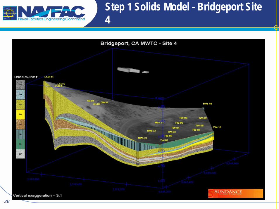
28
Step 1 Solids Model - Bridgeport Site 4

29
Vadose and Saturated Zone for Site 4
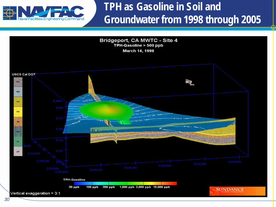
30
TPH as Gasoline in Soil and Groundwater from 1998 through 2005

31
EVS demo
–Successfully used NIRIS and EVS to visualize data
–Did have lessons learned…• required vs. optional data fields i.e., need z/ vertical component of survey data
• Need to know intended use of data when doing the historic data load, can’t just load the easy to load, electronically available data.