MobileHCI 2016 - Technology Literacy in Poor Infrastructure Environments: Characterizing Wayfinding...
67
Technology Literacy in Poor Infrastructure Environments Characterizing Wayfinding Strategies in Lebanon Abdallah El Ali Khaled Bachour Wilko Heuten Susanne Boll MobileHCI 2016, 7th Sept - Florence, Italy
-
Upload
abdallah-el-ali -
Category
Technology
-
view
193 -
download
2
Transcript of MobileHCI 2016 - Technology Literacy in Poor Infrastructure Environments: Characterizing Wayfinding...
Technology Literacy in Poor Infrastructure Environments Characterizing Wayfinding Strategies in Lebanon
Abdallah El Ali Khaled Bachour Wilko Heuten Susanne Boll
MobileHCI 2016, 7th Sept - Florence, Italy
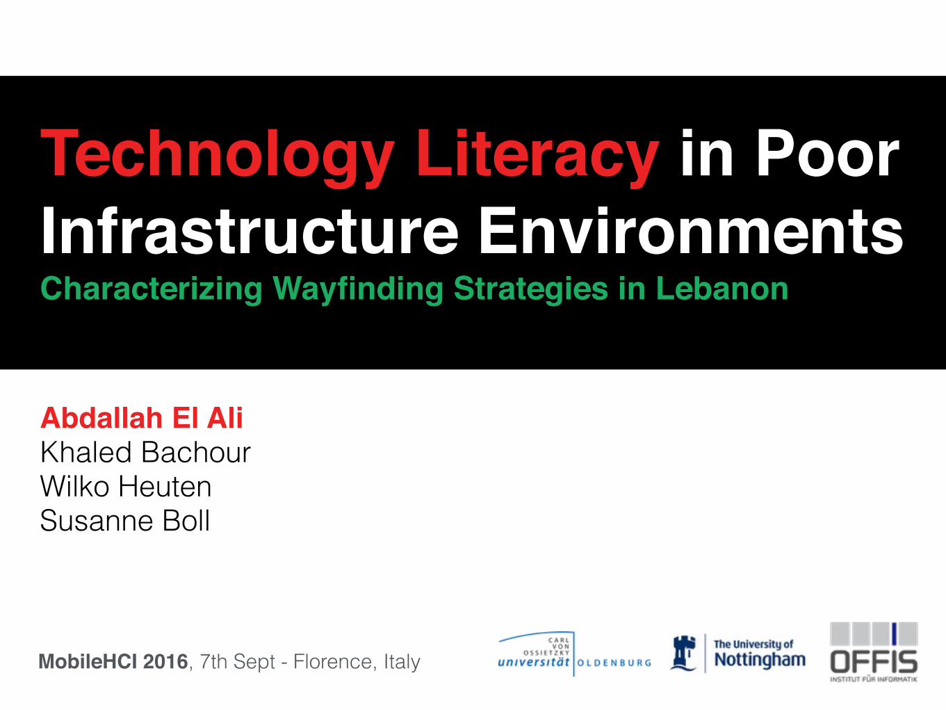
GlobalWebIndex 2013
Most globally used app in 2013
2
3
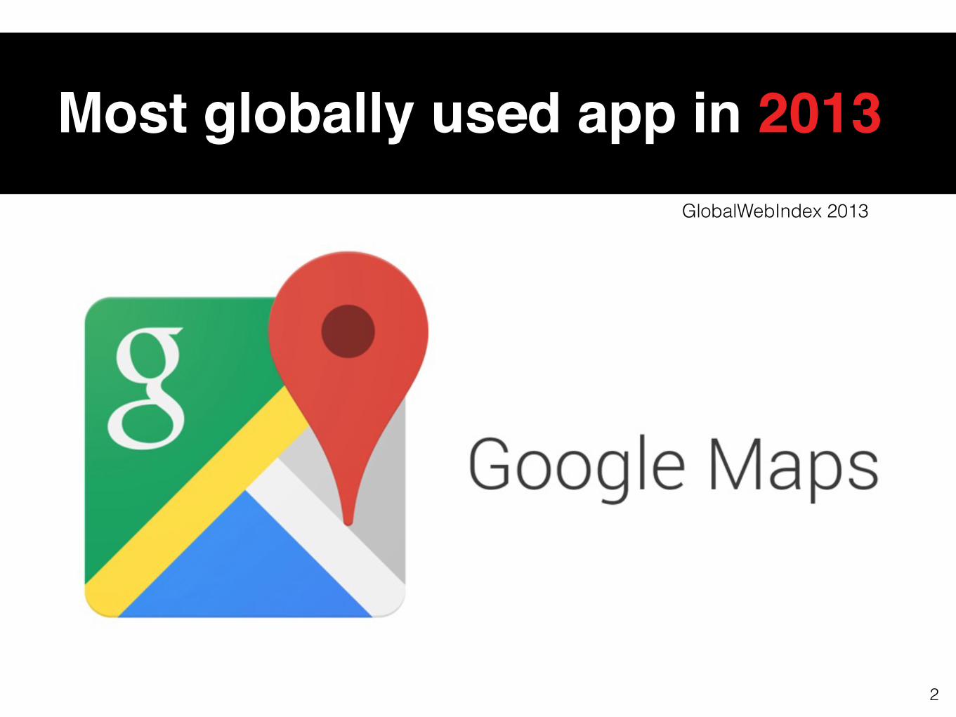
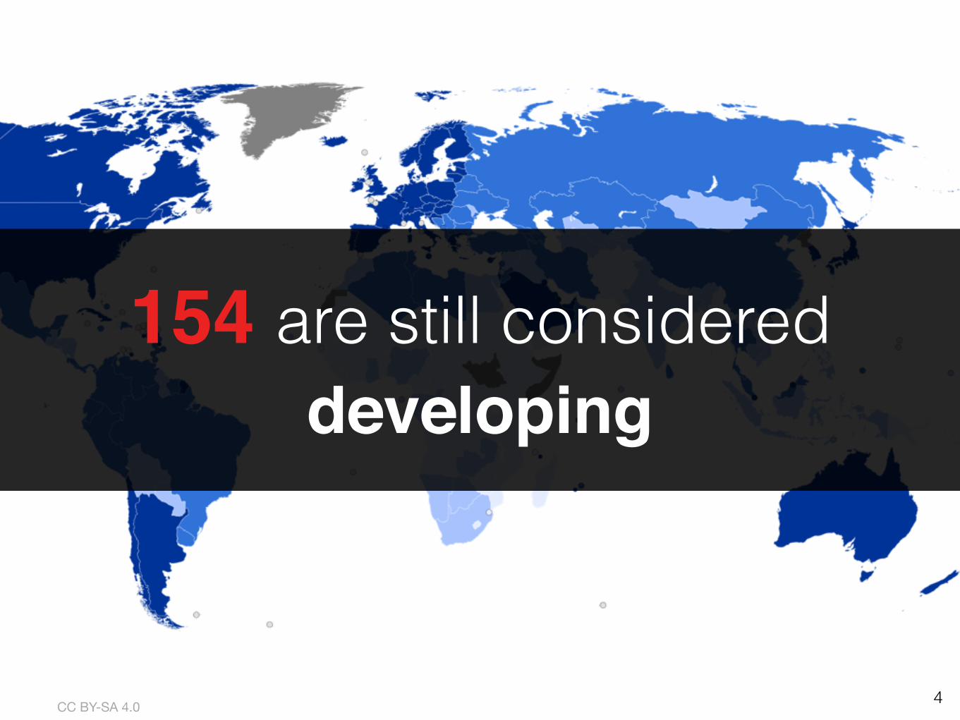
195 countries(2016 United Nations estimate)
4CC BY-SA 4.0
154 are still considered developing
CC BY-SA 4.0
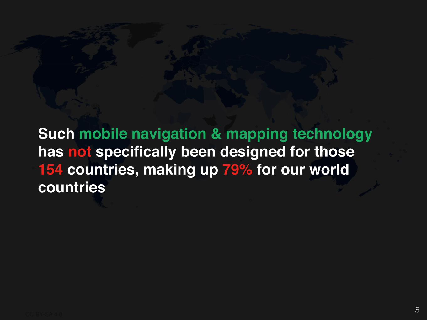
Such mobile navigation & mapping technology has not specifically been designed for those 154 countries, making up 79% for our world countries
5
6
Human Computer Interaction for Development
(HCI4D)?
7
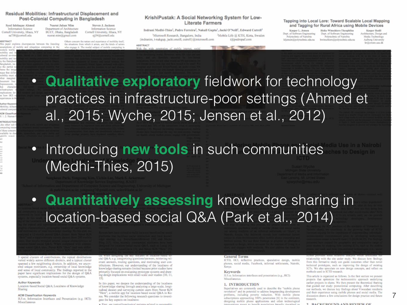
• Qualitative exploratory fieldwork for technology practices in infrastructure-poor settings ( Ahmed et al., 2015; Wyche, 2015; Jensen et al., 2012)
• Introducing new tools in such communities (Medhi-Thies, 2015)
• Quantitatively assessing knowledge sharing in location-based social Q&A (Park et al., 2014)
8
What about so-called ‘independent users’?
jeshoots.com
jeshoots.com
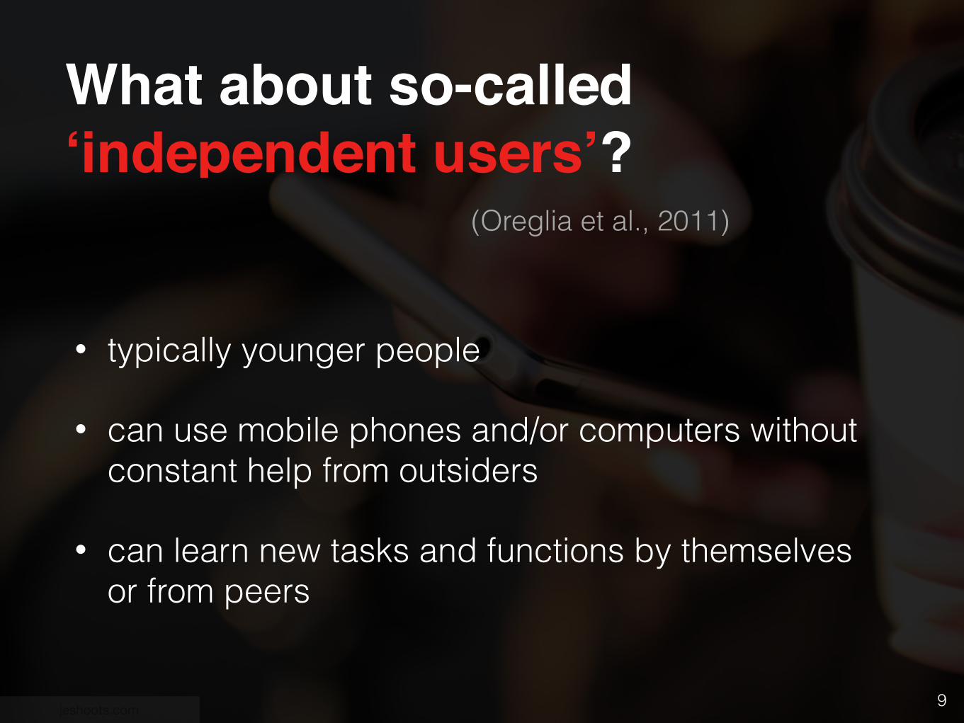
(Oreglia et al., 2011)
• typically younger people
• can use mobile phones and/or computers without constant help from outsiders
• can learn new tasks and functions by themselves or from peers
9
What about so-called ‘independent users’?
jeshoots.com
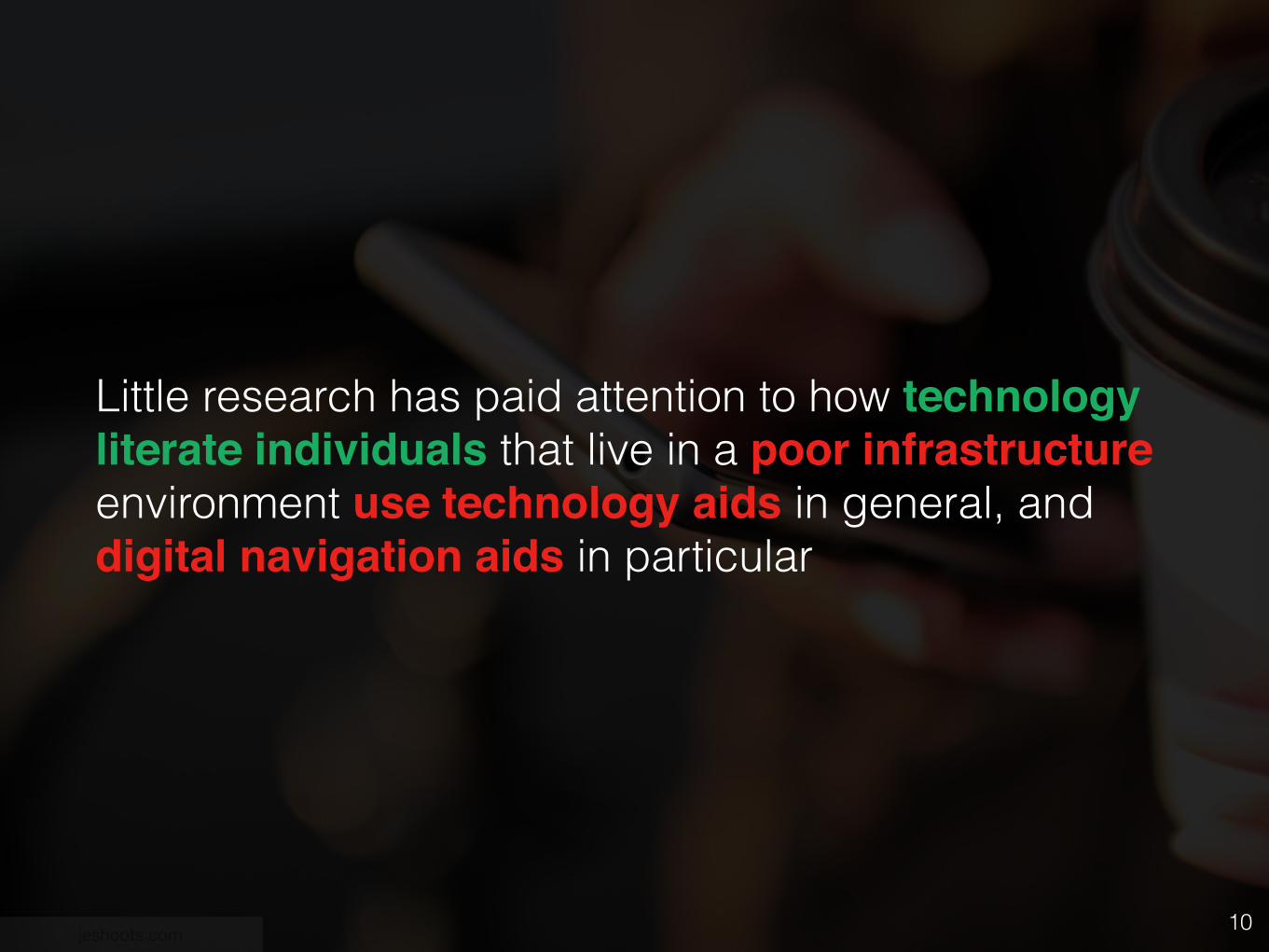
Little research has paid attention to how technology literate individuals that live in a poor infrastructure environment use technology aids in general, and digital navigation aids in particular
10
11
12
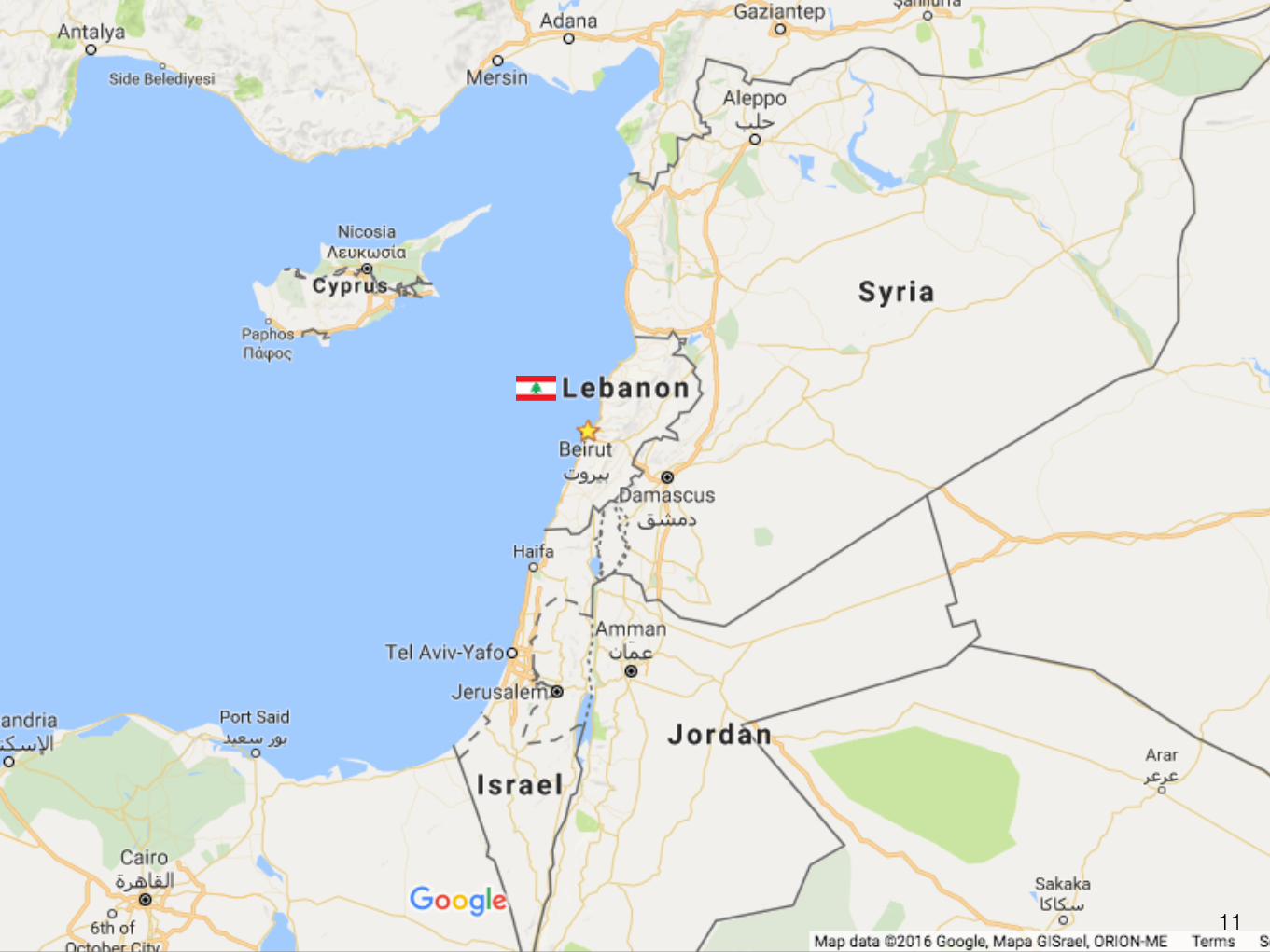
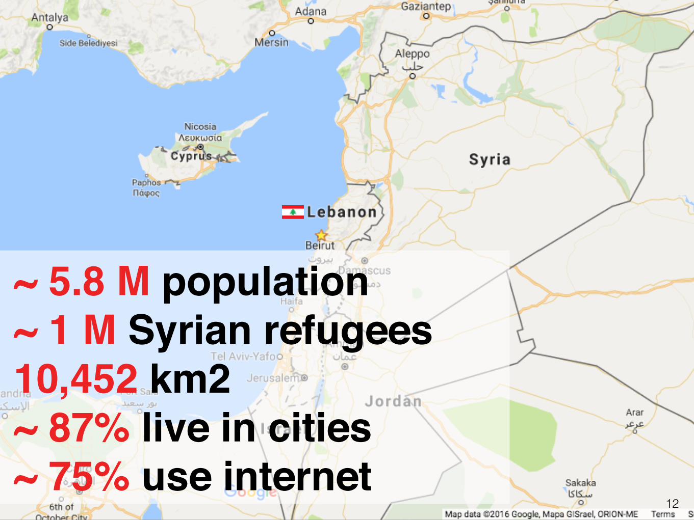
~ 5.8 M population~ 1 M Syrian refugees10,452 km2 ~ 87% live in cities~ 75% use internet

14http://speak2all.wordpress.com
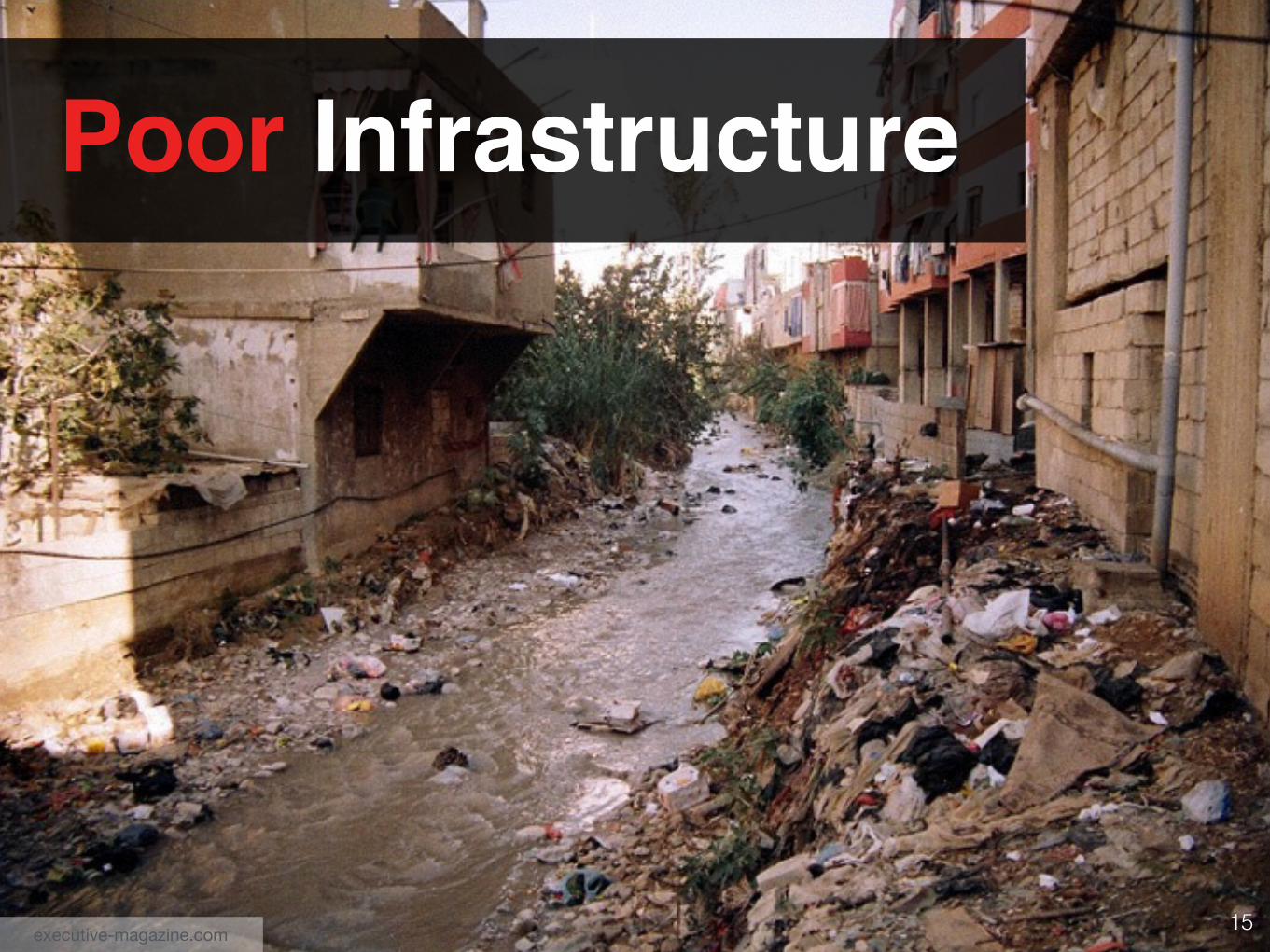
Daily Electricity Cuts
15
Poor Infrastructure
executive-magazine.com
16
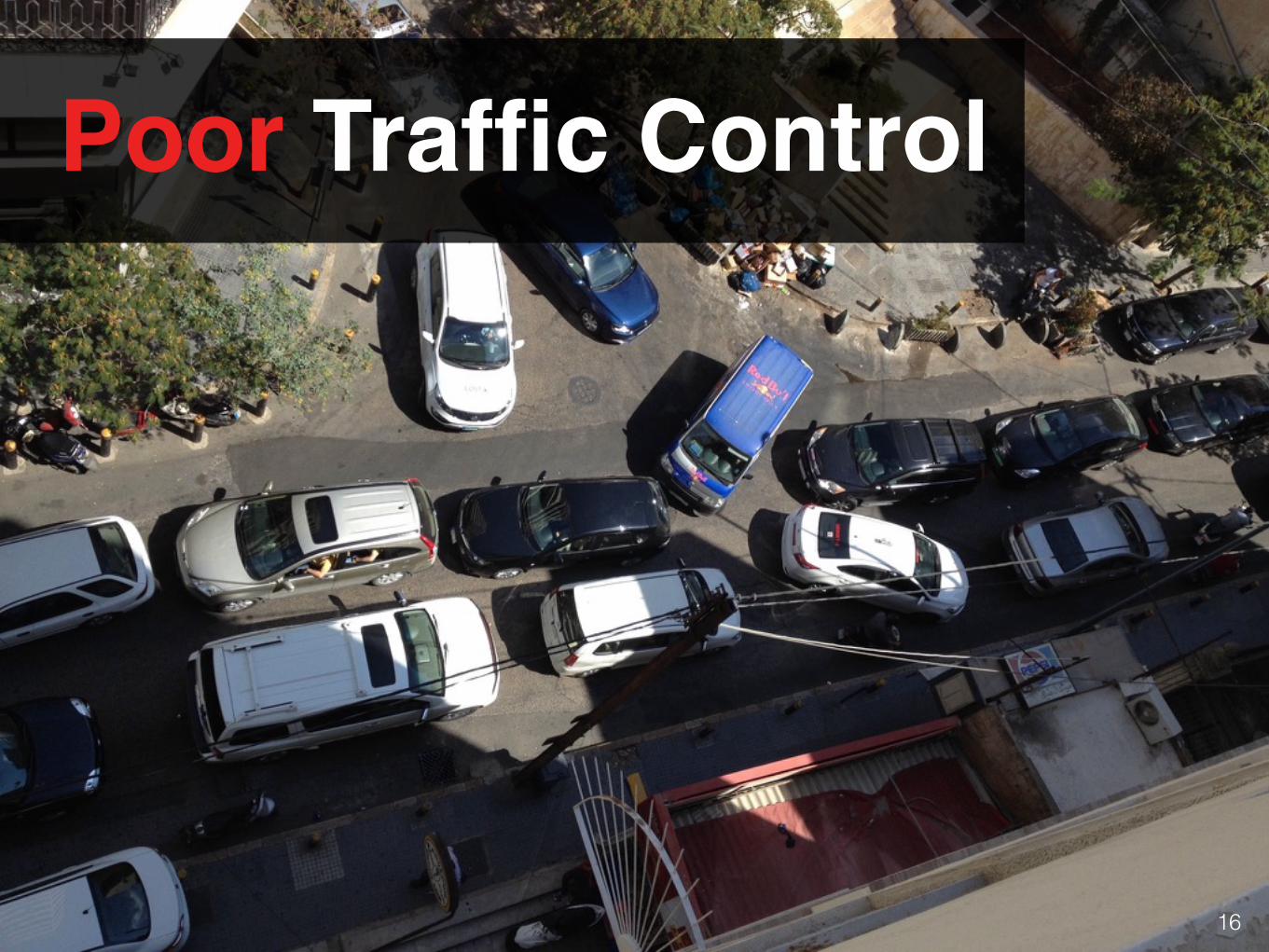
Poor Traffic Control
17
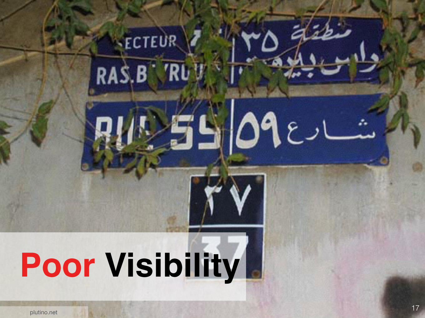
Poor Visibilityplutino.net
18
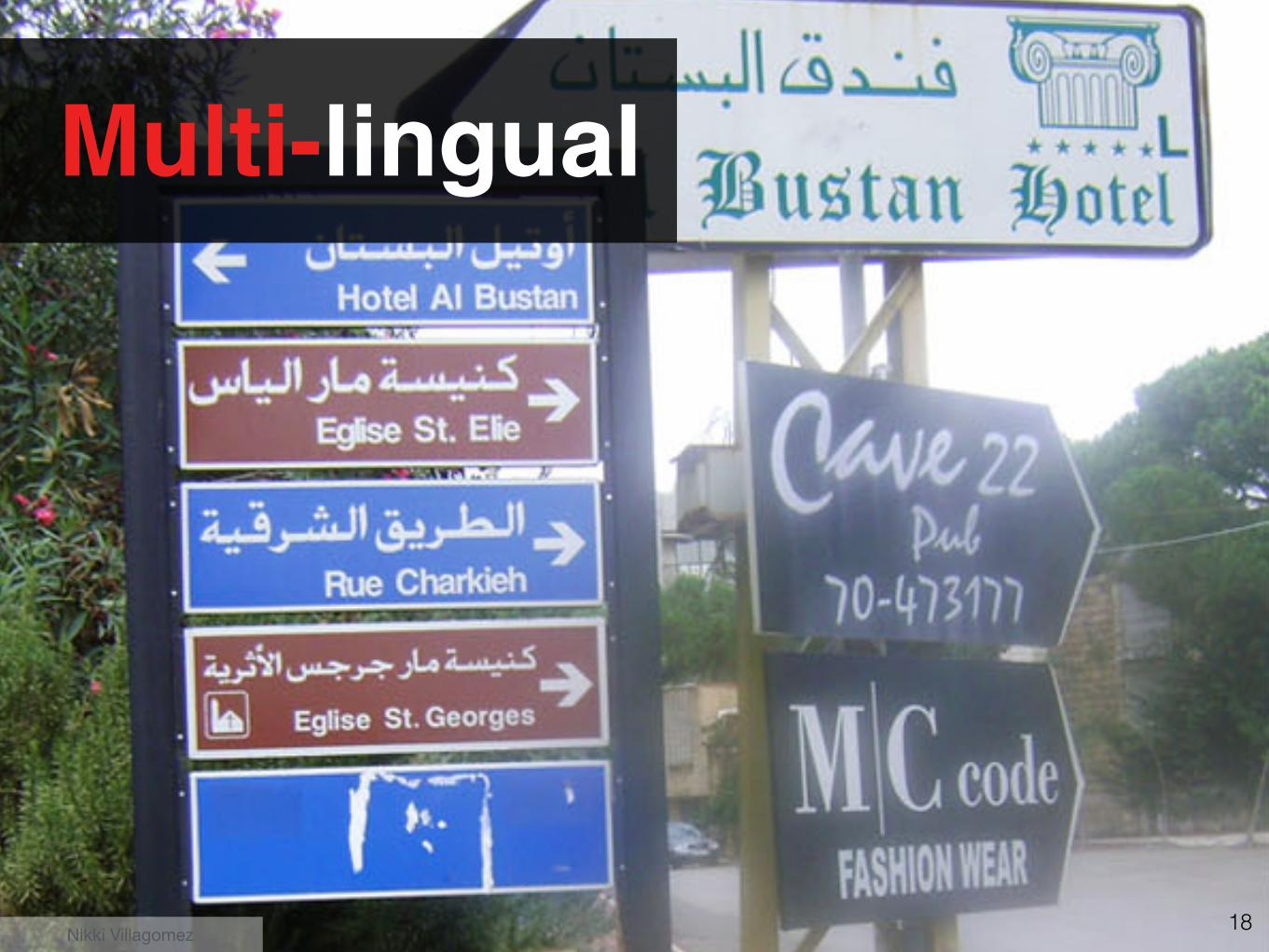
Multi-lingual
Nikki Villagomez
19
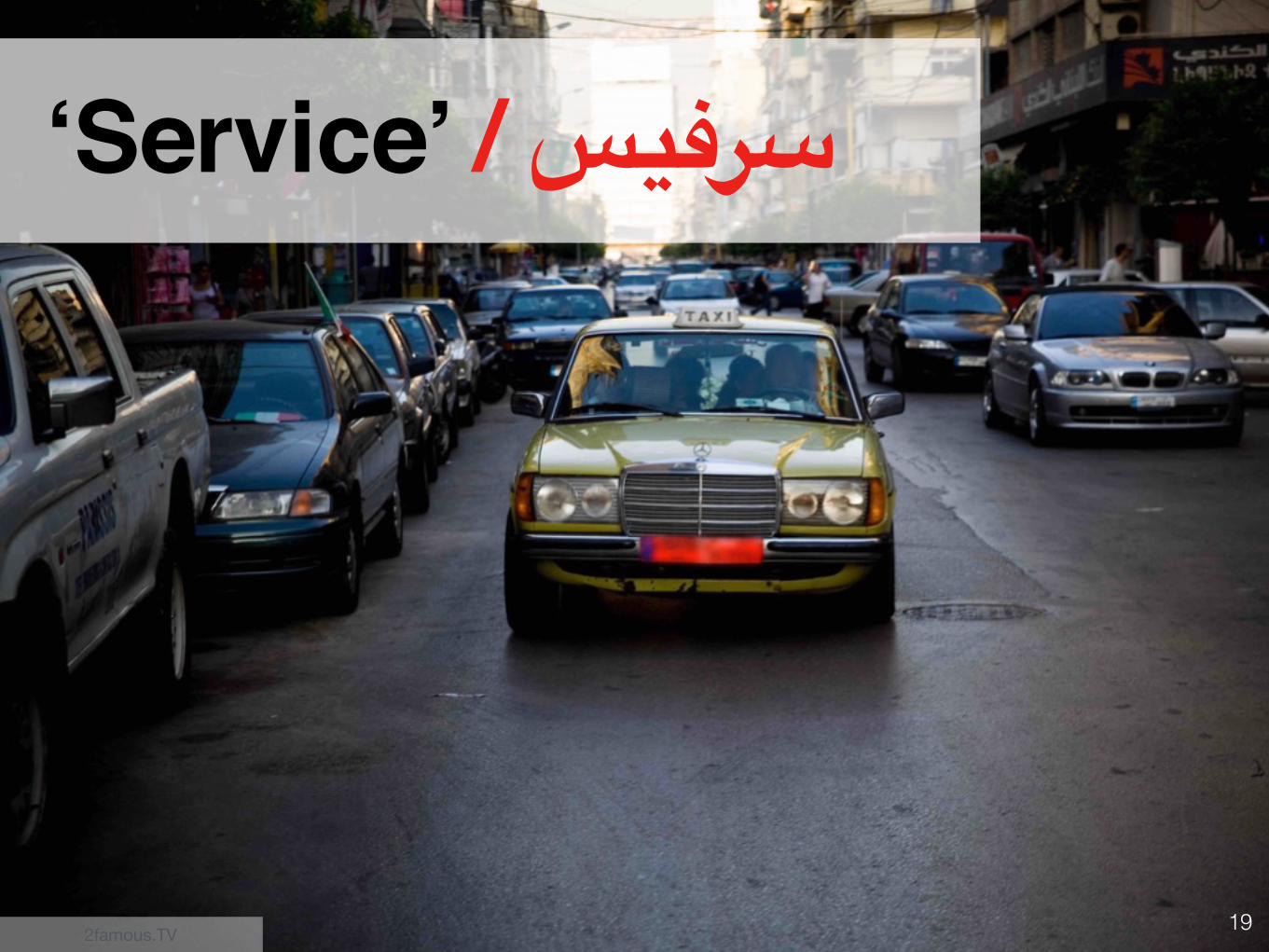
‘Service’ / سرفيس
2famous.TV
20
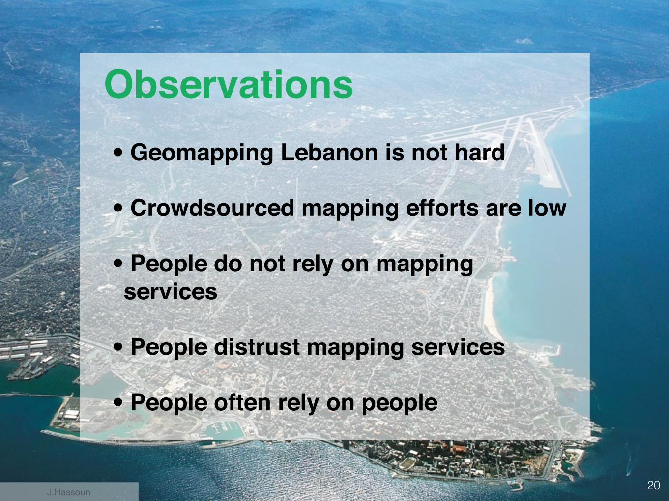
• Geomapping Lebanon is not hard
• Crowdsourced mapping efforts are low
• People do not rely on mapping services
• People distrust mapping services
• People often rely on people
Observations
J.Hassoun
21
22
23
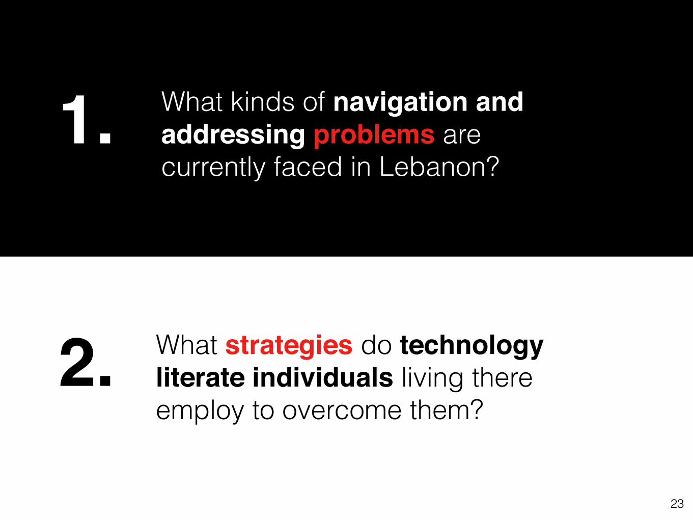
What kinds of navigation and addressing problems are currently faced in Lebanon?
What strategies do technology literate individuals living there employ to overcome them?
1.
2.
24
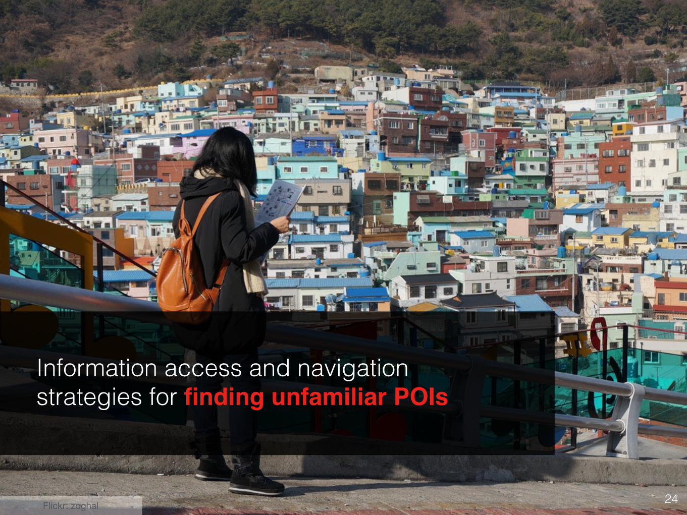
Information access and navigation strategies for finding unfamiliar POIs
Flickr: zoghal
25
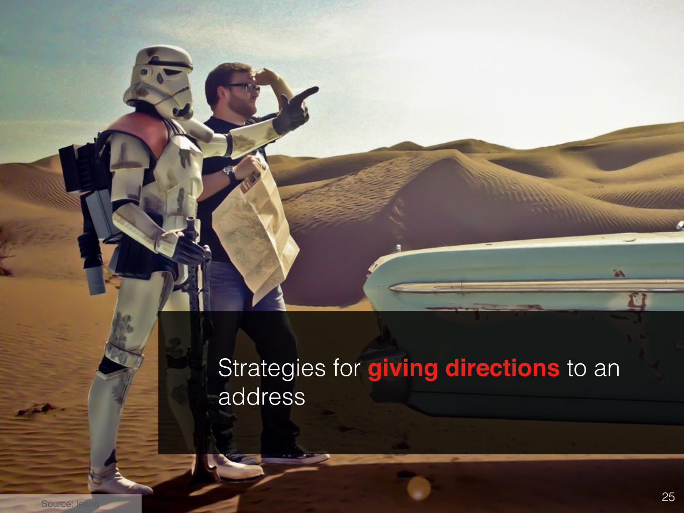
Strategies for giving directions to an address
Source: leong
26
Characterization
WeAreJuxt
27
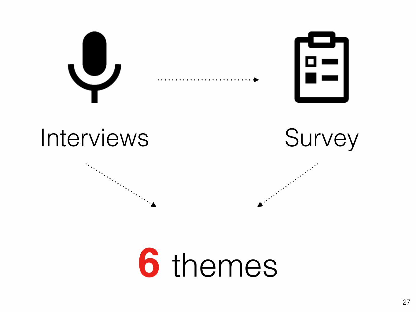
Survey
6 themes
Interviews

28
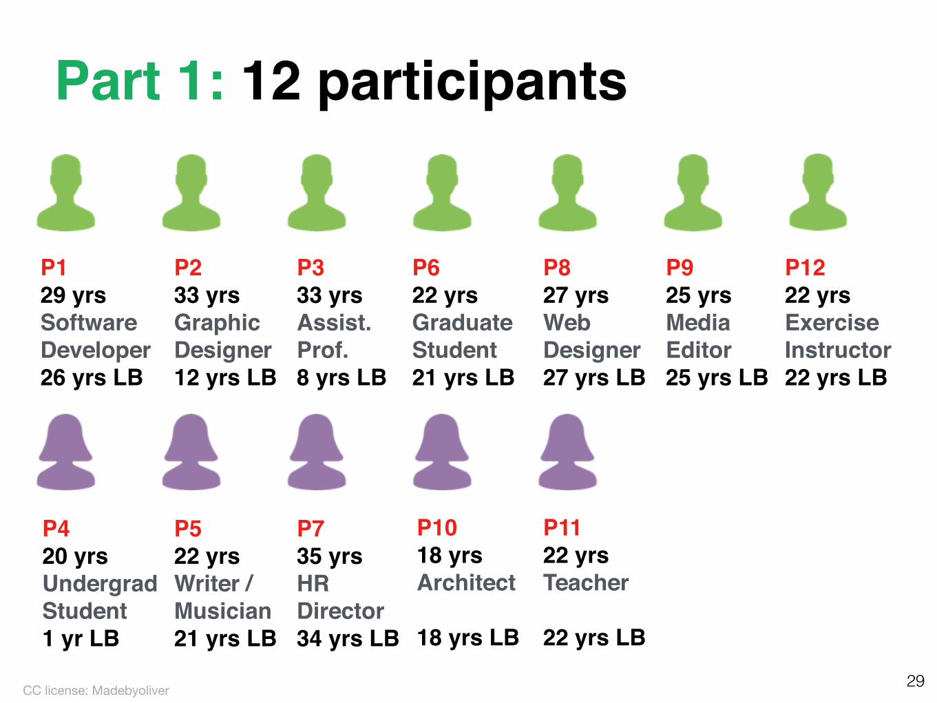
Part 1: Interviews
Flickr: Iwan Gabovitch
29
P129 yrsSoftware Developer26 yrs LB
P233 yrsGraphic Designer12 yrs LB
P333 yrsAssist. Prof.8 yrs LB
P622 yrsGraduate Student21 yrs LB
P827 yrsWeb Designer27 yrs LB
P925 yrsMedia Editor25 yrs LB
P1222 yrsExercise Instructor22 yrs LB
P420 yrsUndergrad Student1 yr LB
P522 yrsWriter / Musician21 yrs LB
P735 yrsHR Director34 yrs LB
P1018 yrsArchitect
18 yrs LB
P1122 yrsTeacher
22 yrs LB
Part 1: 12 participants
CC license: Madebyoliver
30
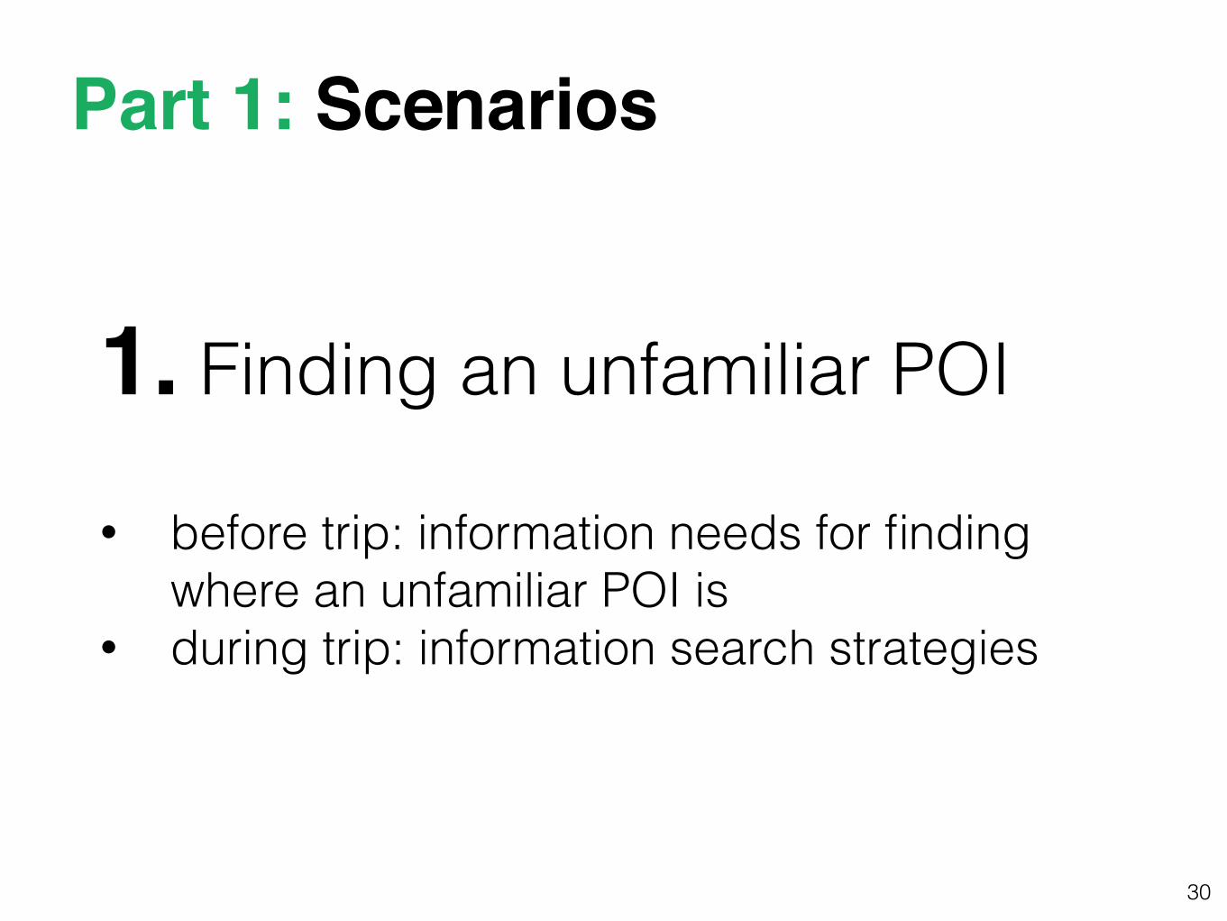
1. Finding an unfamiliar POI
• before trip: information needs for finding where an unfamiliar POI is
• during trip: information search strategies
Part 1: Scenarios
31
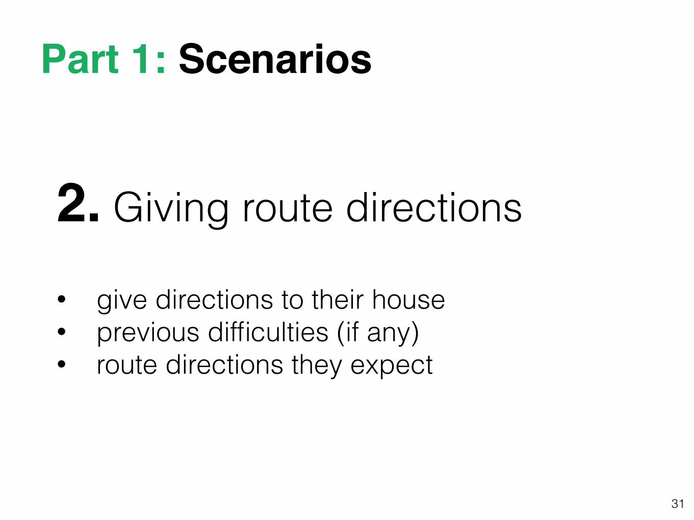
2. Giving route directions
• give directions to their house • previous difficulties (if any) • route directions they expect
Part 1: Scenarios
32
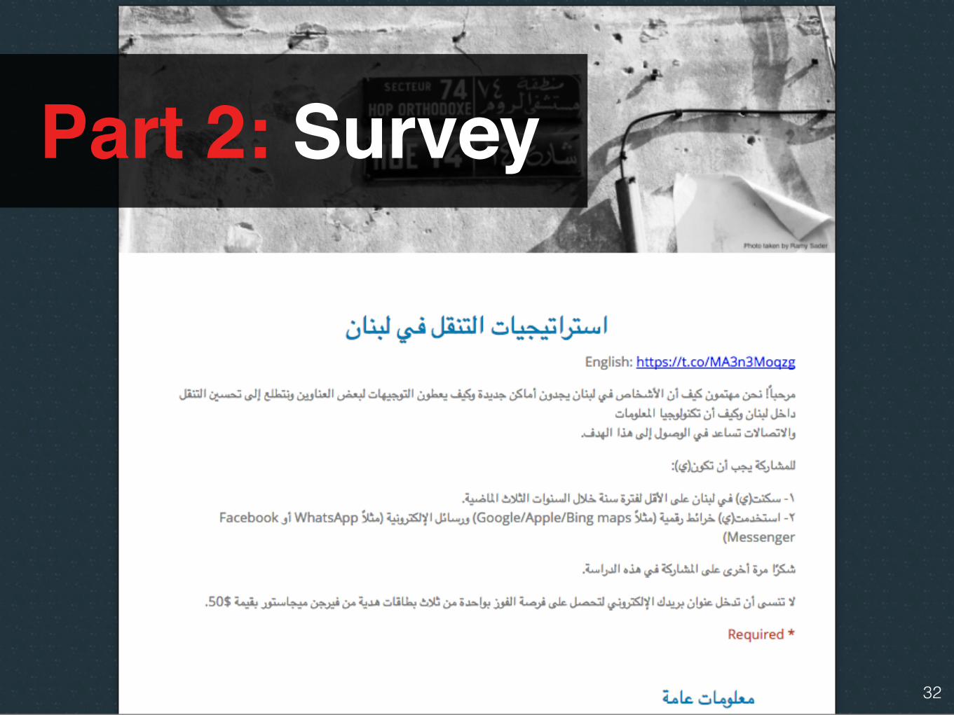
Part 2: Survey
33
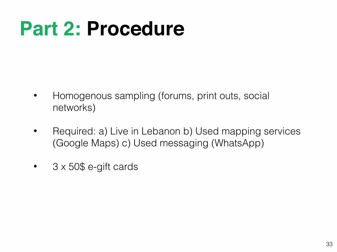
• Homogenous sampling (forums, print outs, social networks)
• Required: a) Live in Lebanon b) Used mapping services (Google Maps) c) Used messaging (WhatsApp)
• 3 x 50$ e-gift cards
Part 2: Procedure
34
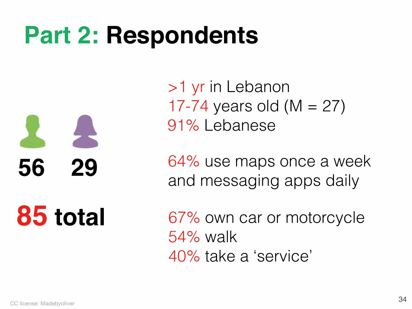
56 29
85 total
>1 yr in Lebanon 17-74 years old (M = 27) 91% Lebanese
Part 2: Respondents
CC license: Madebyoliver
64% use maps once a week and messaging apps daily
67% own car or motorcycle 54% walk 40% take a ‘service’
35
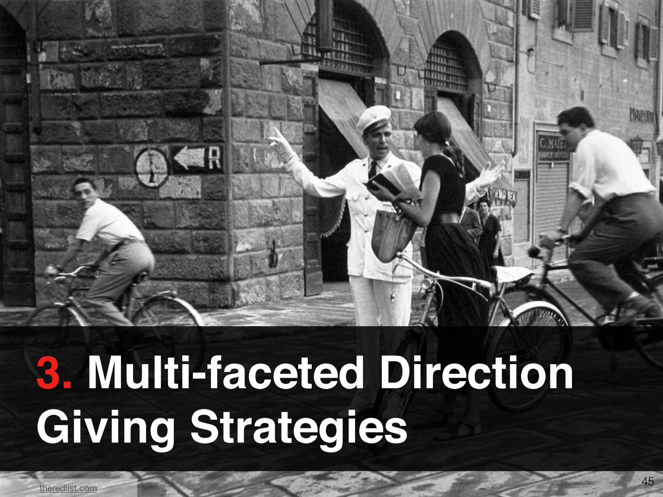
1. Multi-faceted Information Access Strategies
Wikipedia: Tony Webster
36
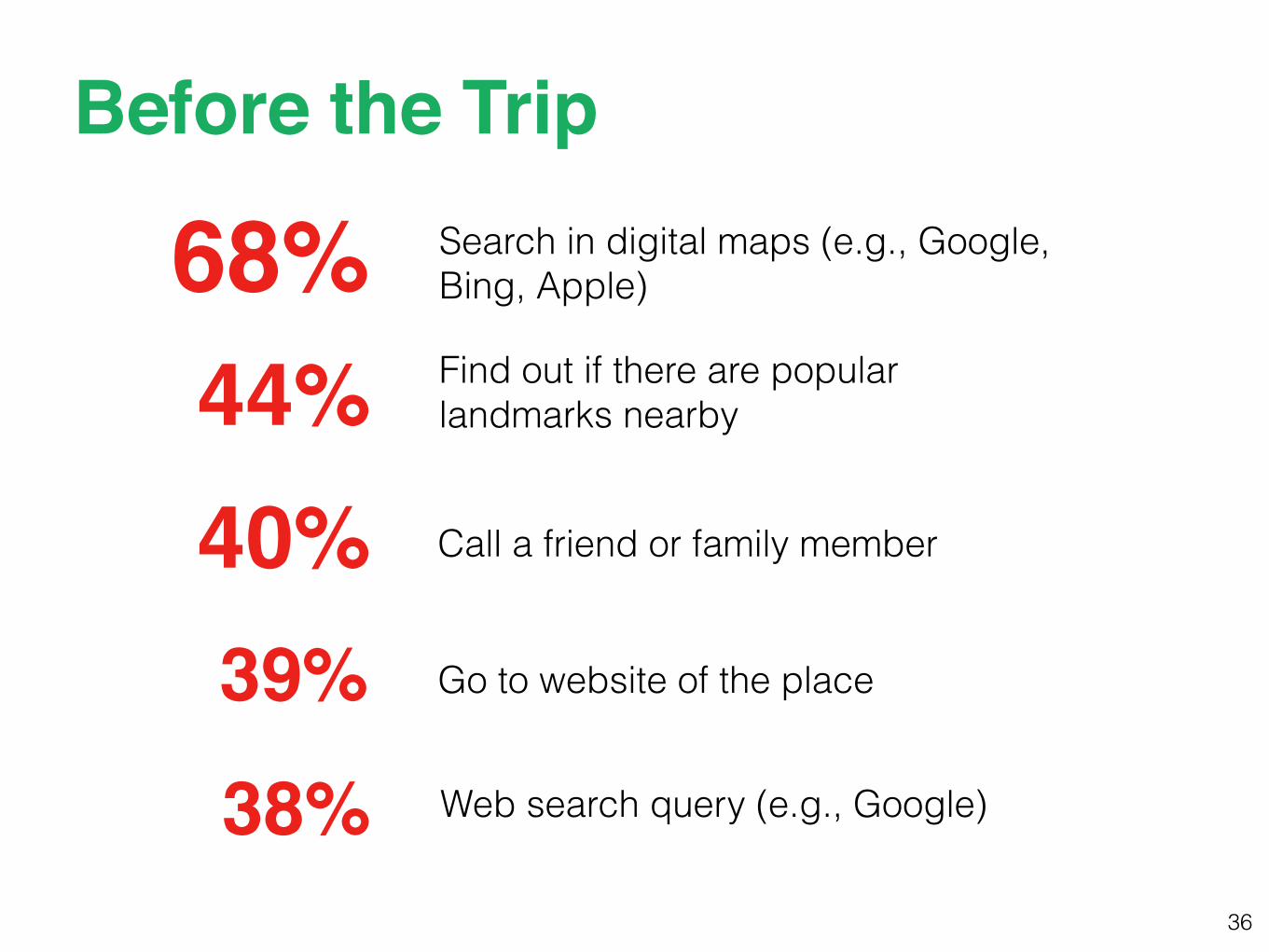
Search in digital maps (e.g., Google, Bing, Apple) 68%
Before the Trip
38% Web search query (e.g., Google)
39% Go to website of the place
40% Call a friend or family member
44% Find out if there are popular landmarks nearby
37
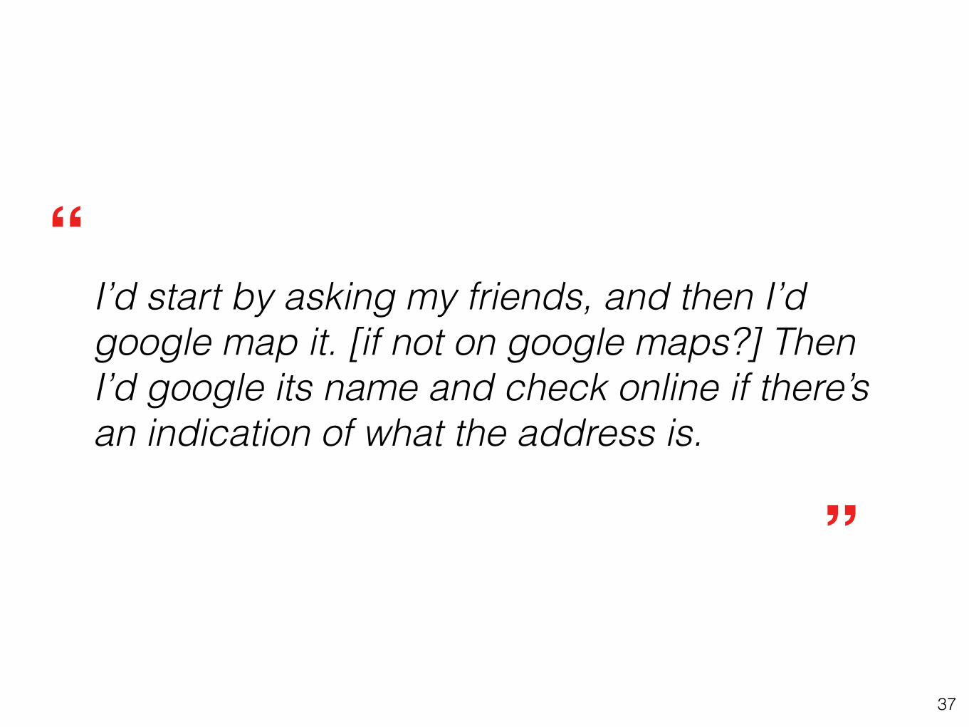
I’d start by asking my friends, and then I’d google map it. [if not on google maps?] Then I’d google its name and check online if there’s an indication of what the address is.
”
“
38
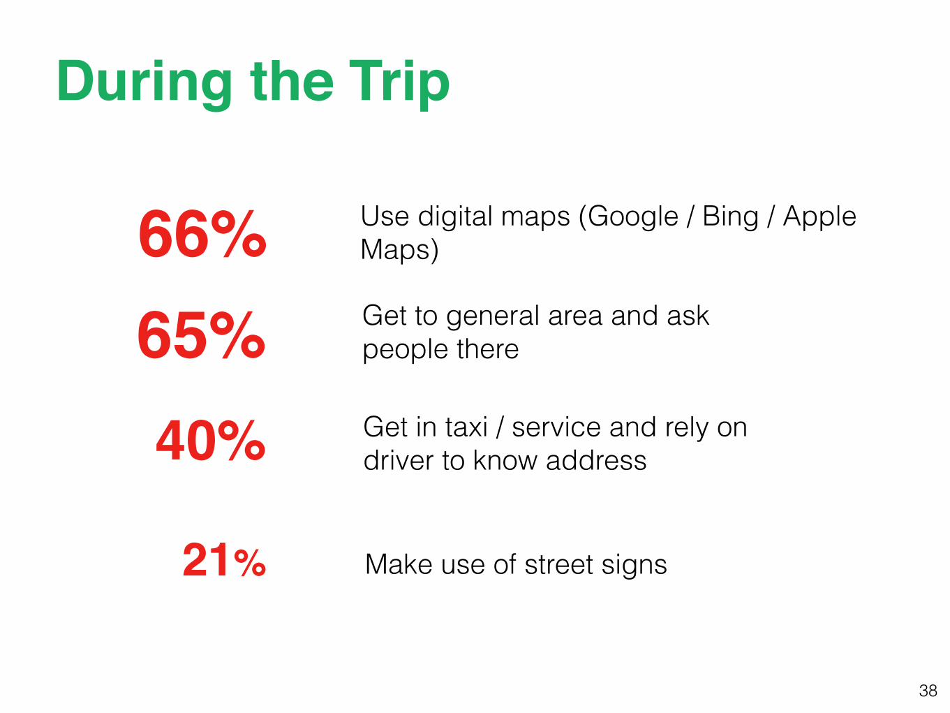
Use digital maps (Google / Bing / Apple Maps) 66%
During the Trip
21% Make use of street signs
40% Get in taxi / service and rely on driver to know address
65% Get to general area and ask people there
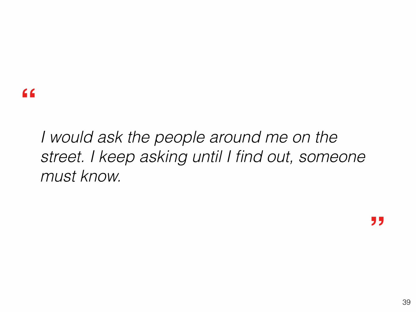
39
I would ask the people around me on the street. I keep asking until I find out, someone must know.
”
“

40
2. Technological Reliability
thenextweb.com
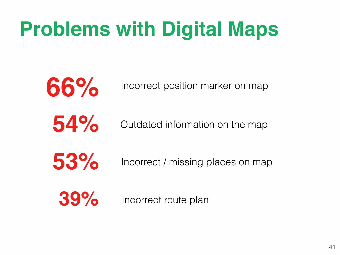
41
Outdated information on the map54%
Problems with Digital Maps
66% Incorrect position marker on map
53% Incorrect / missing places on map
39% Incorrect route plan
42
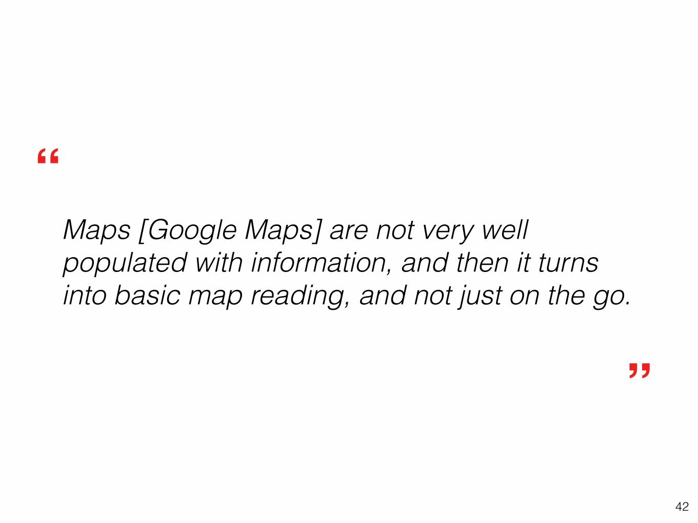
Maps [Google Maps] are not very well populated with information, and then it turns into basic map reading, and not just on the go.
”
“
43
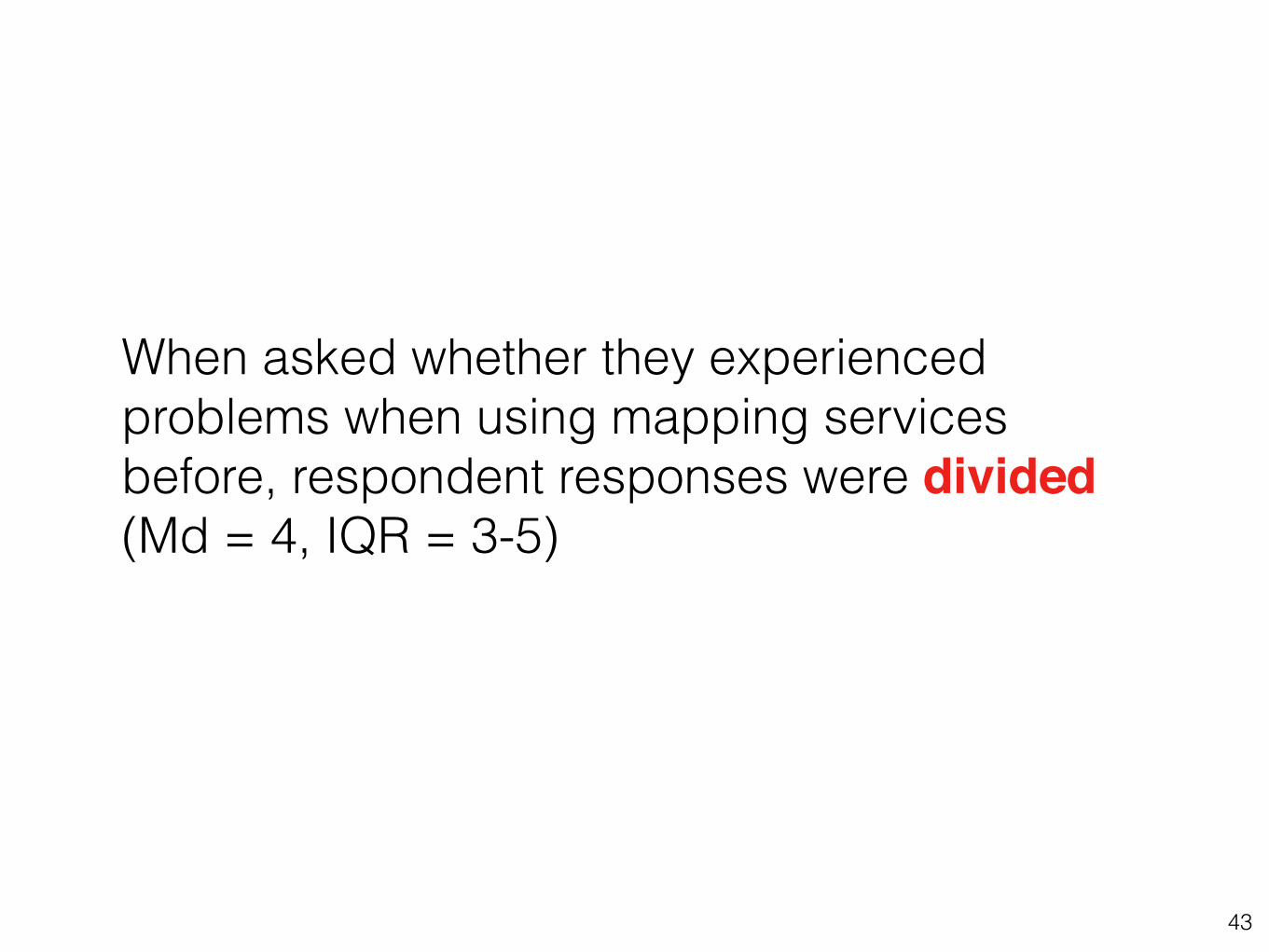
When asked whether they experienced problems when using mapping services before, respondent responses were divided (Md = 4, IQR = 3-5)
44
Respondents' reported experienced difficulties with mapping services and whether they used mapping services once a week or several times a week was significant (p < 0.01, FET13)
46
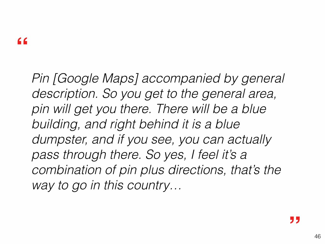
Pin [Google Maps] accompanied by general description. So you get to the general area, pin will get you there. There will be a blue building, and right behind it is a blue dumpster, and if you see, you can actually pass through there. So yes, I feel it’s a combination of pin plus directions, that’s the way to go in this country…
”
“
47
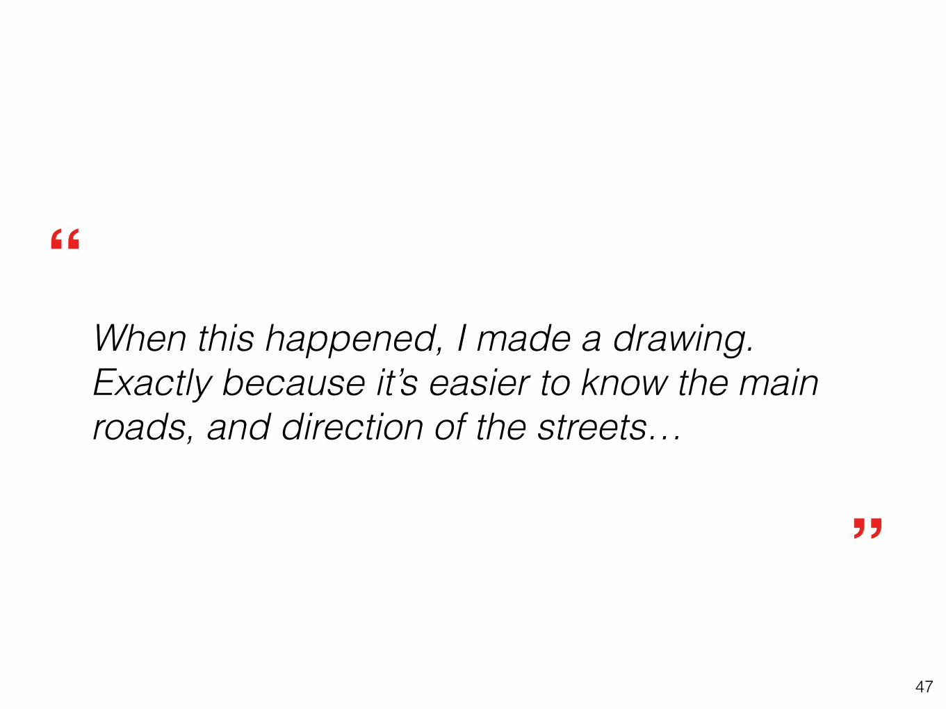
When this happened, I made a drawing. Exactly because it’s easier to know the main roads, and direction of the streets…
”
“
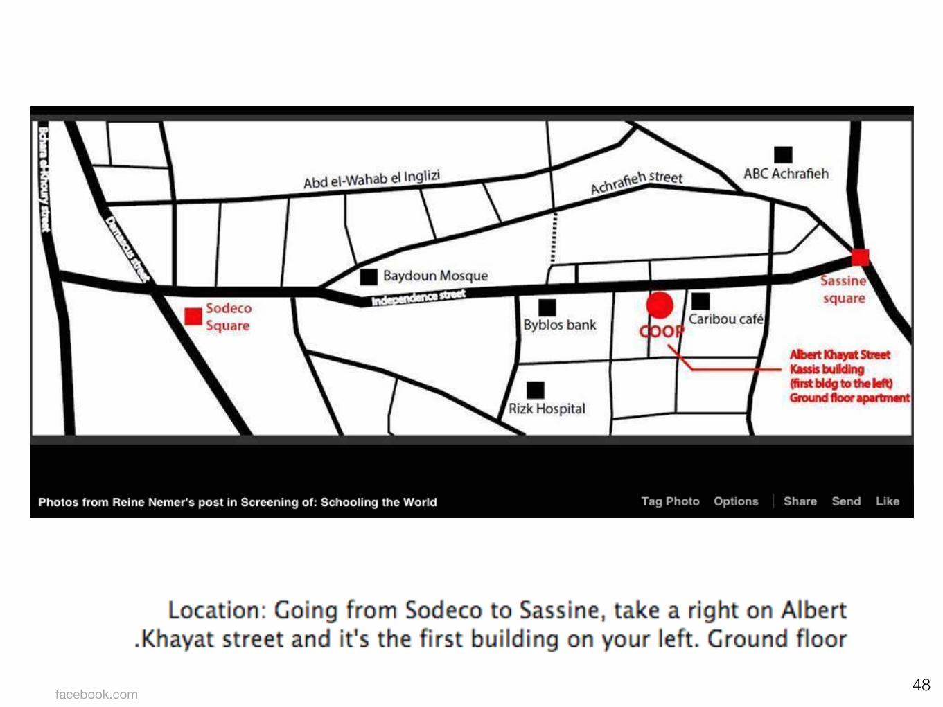
48facebook.com
49
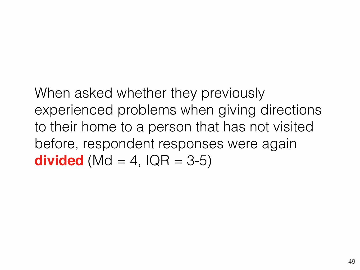
When asked whether they previously experienced problems when giving directions to their home to a person that has not visited before, respondent responses were again divided (Md = 4, IQR = 3-5)
50
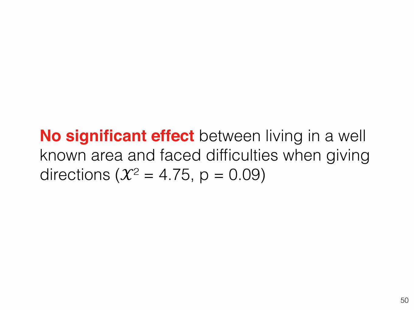
No significant effect between living in a well known area and faced difficulties when giving directions (𝒳² = 4.75, p = 0.09)
51
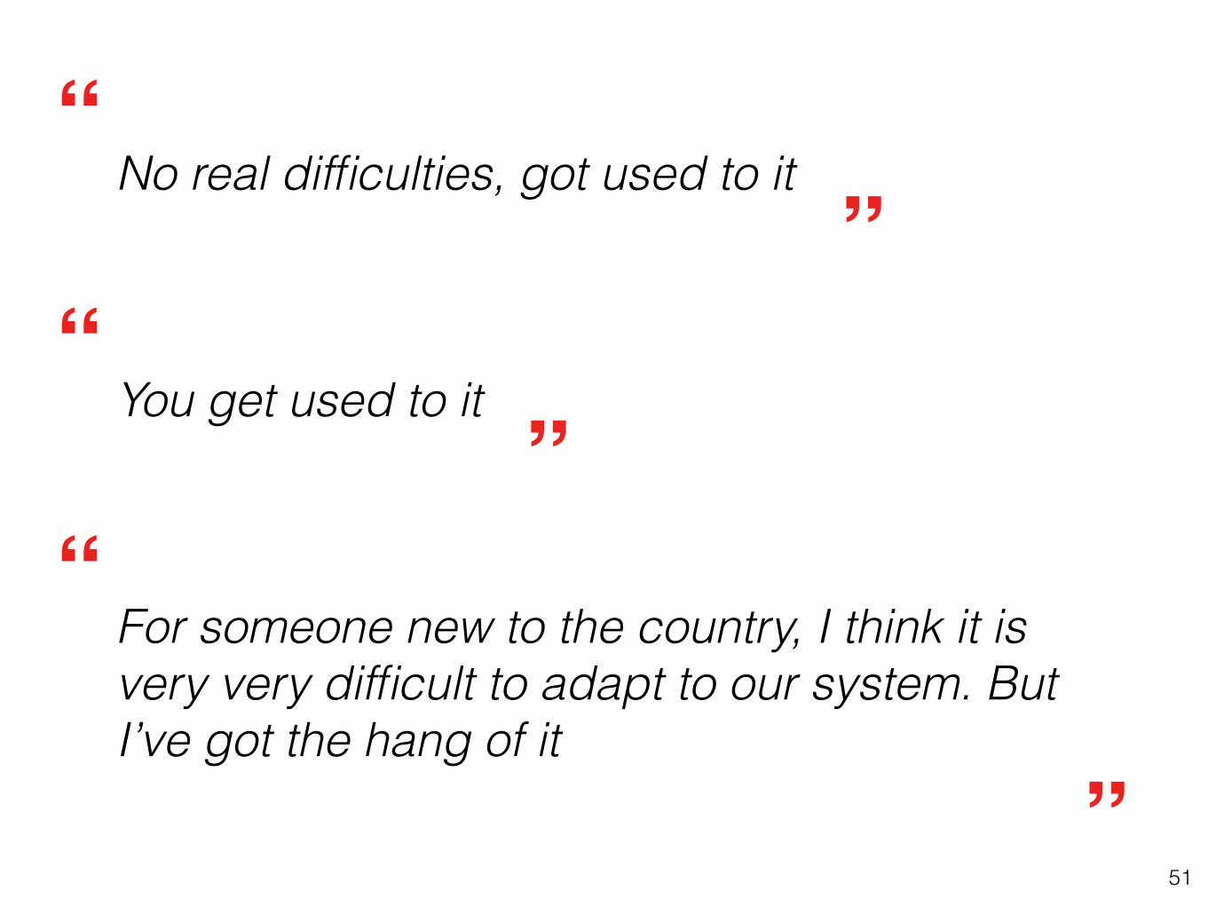
No real difficulties, got used to it
You get used to it
For someone new to the country, I think it is very very difficult to adapt to our system. But I’ve got the hang of it
”
“”
”“
“
52
مامر
مفرا
مفراءزاروبيشارع
rue
ruelle
route
alleywayroad
street
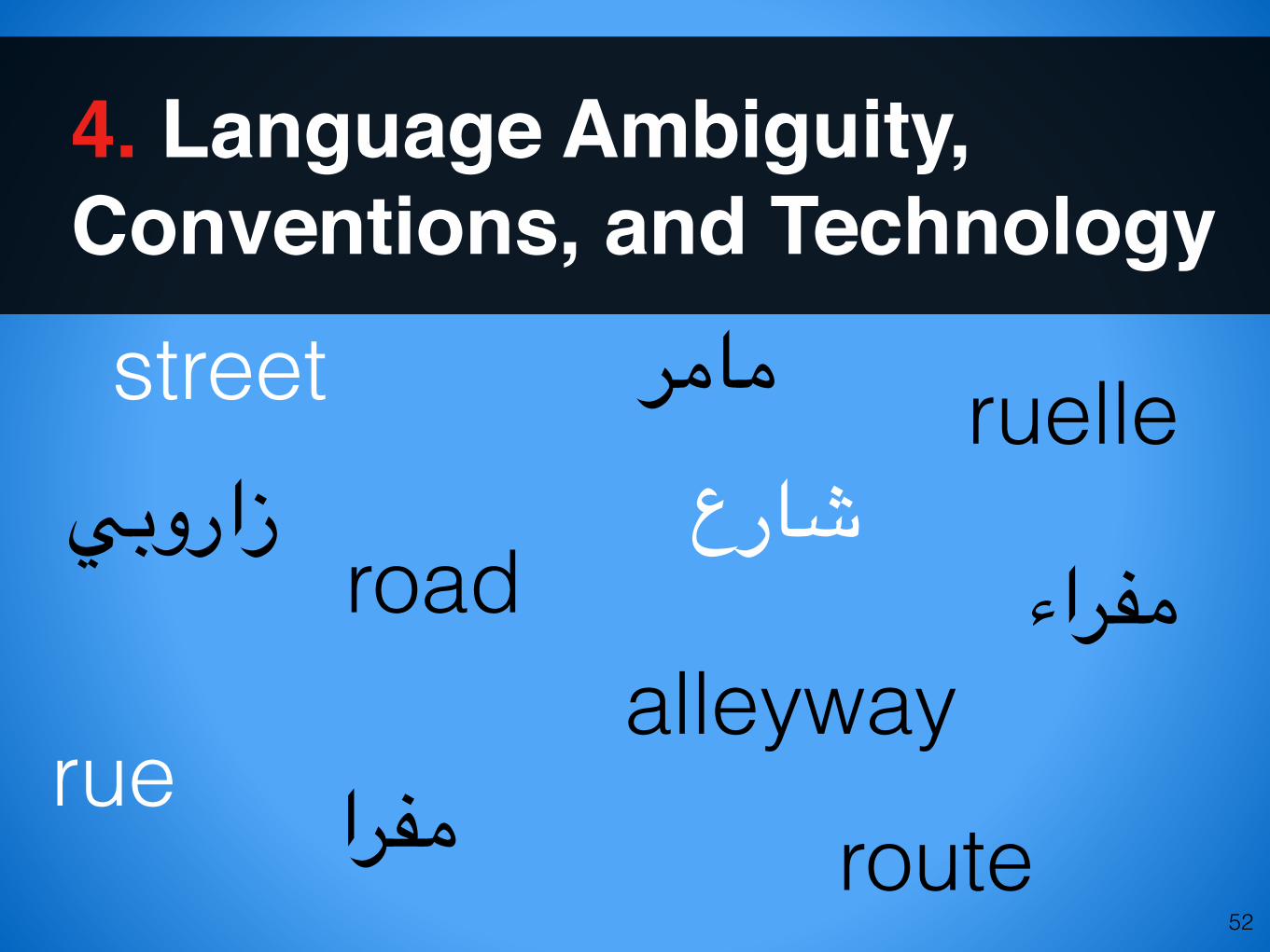
4. Language Ambiguity, Conventions, and Technology
53
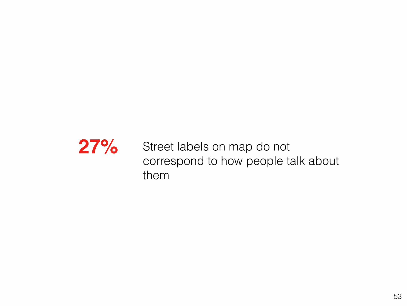
Street labels on map do not correspond to how people talk about them
27%
54
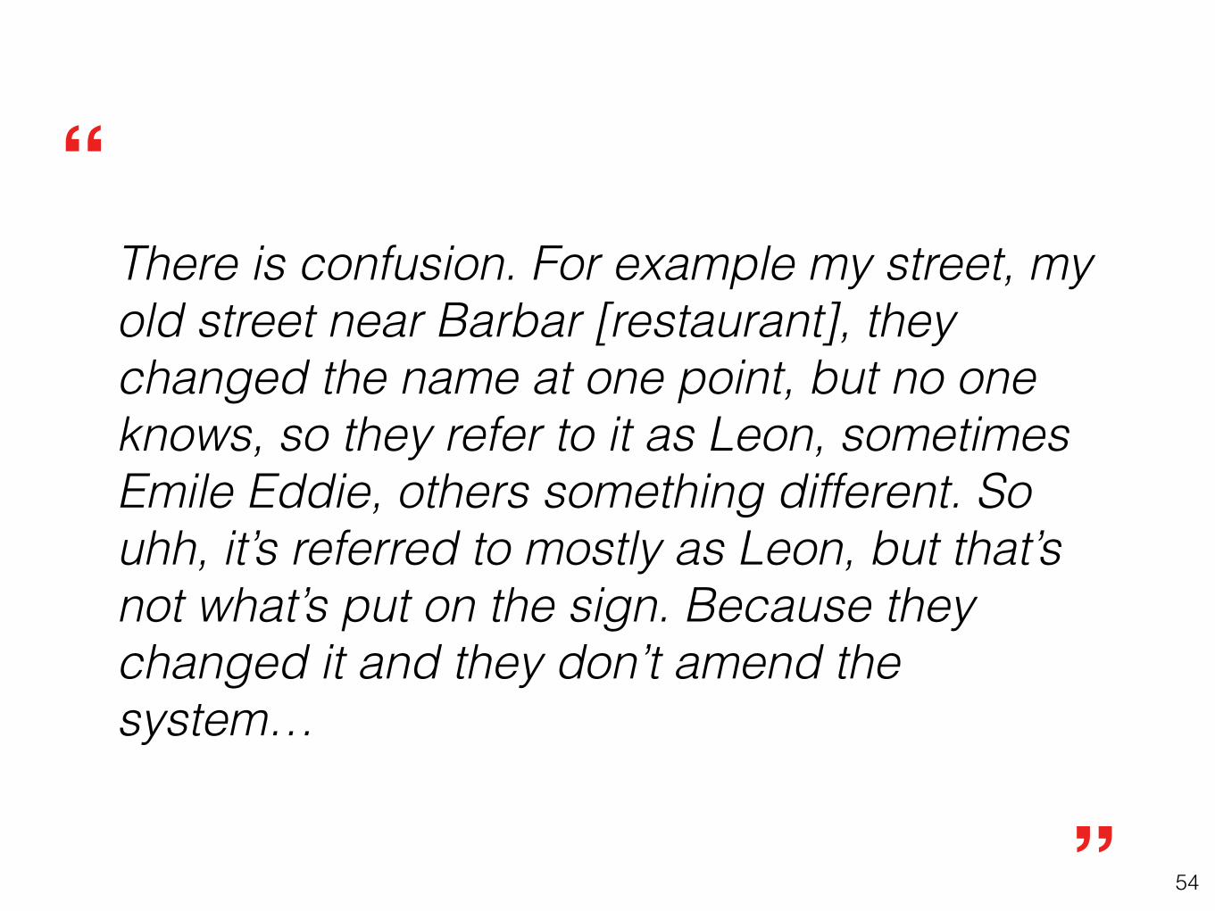
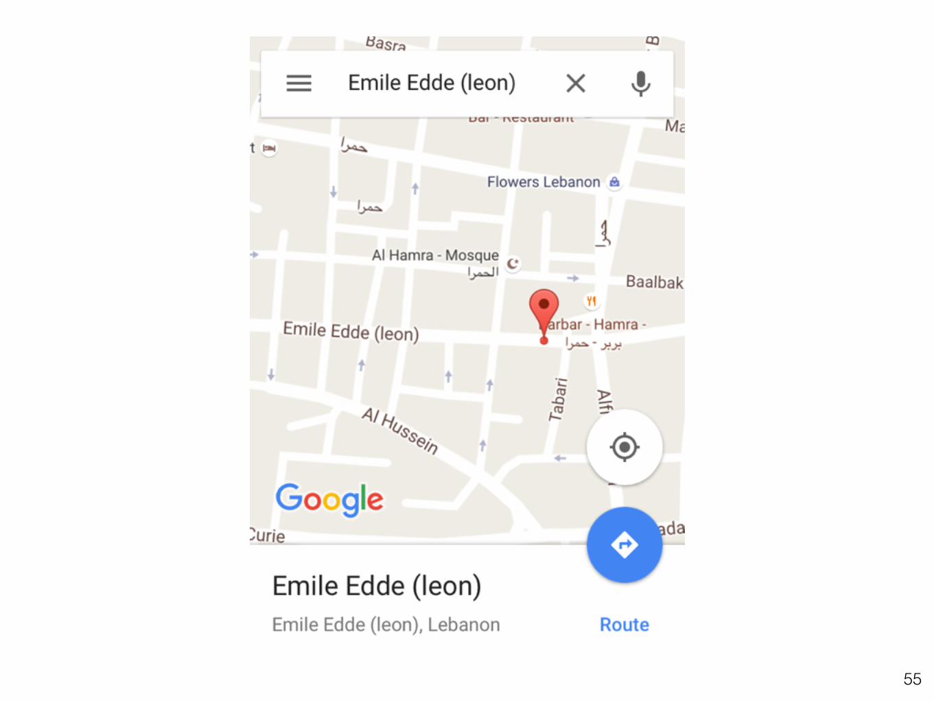
There is confusion. For example my street, my old street near Barbar [restaurant], they changed the name at one point, but no one knows, so they refer to it as Leon, sometimes Emile Eddie, others something different. So uhh, it’s referred to mostly as Leon, but that’s not what’s put on the sign. Because they changed it and they don’t amend the system…
”
“
55

56
5. Tech Literacy & Expectations
Wikipedia: RudolfSimon
57
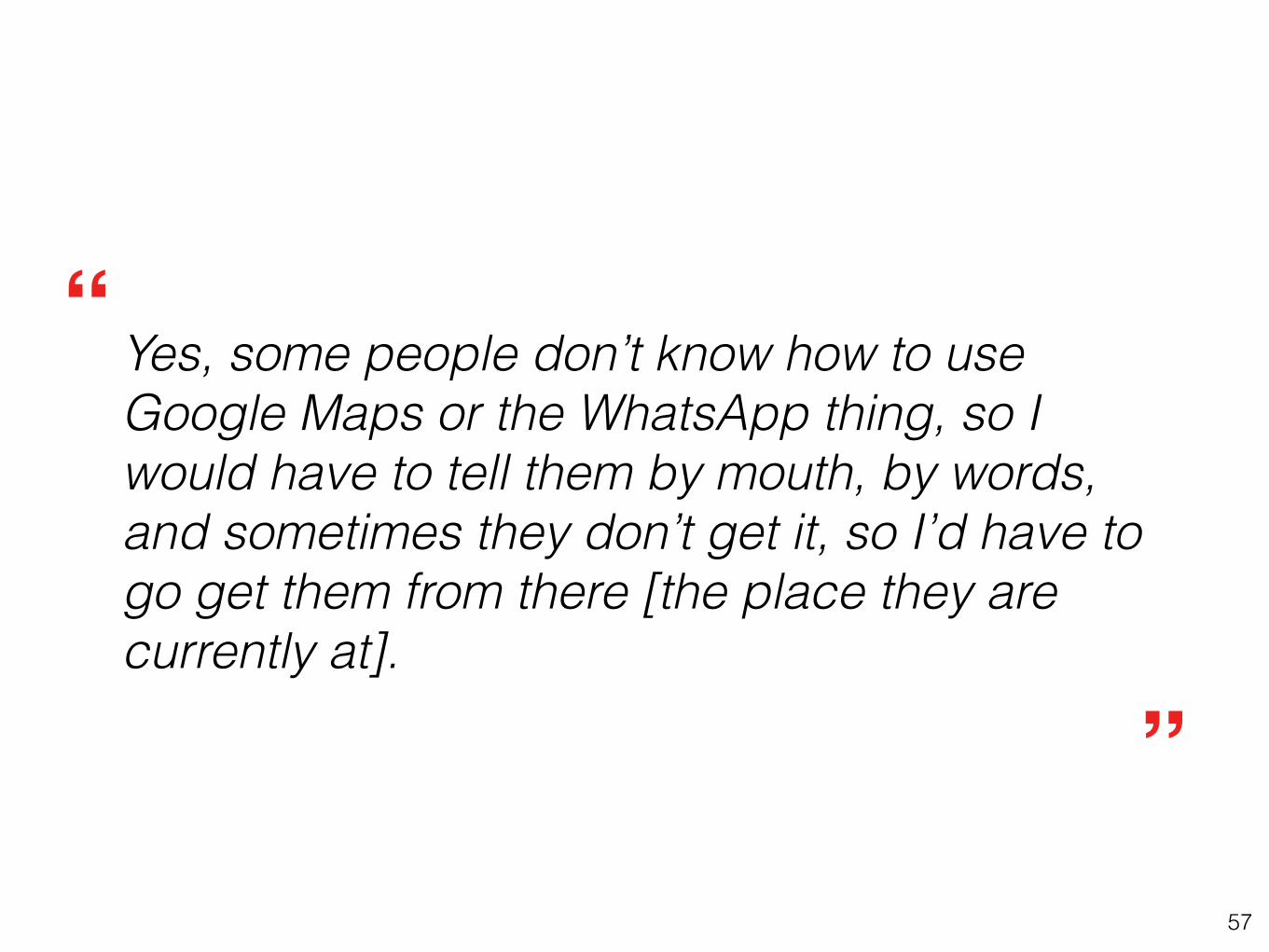
Yes, some people don’t know how to use Google Maps or the WhatsApp thing, so I would have to tell them by mouth, by words, and sometimes they don’t get it, so I’d have to go get them from there [the place they are currently at].
”
“
58
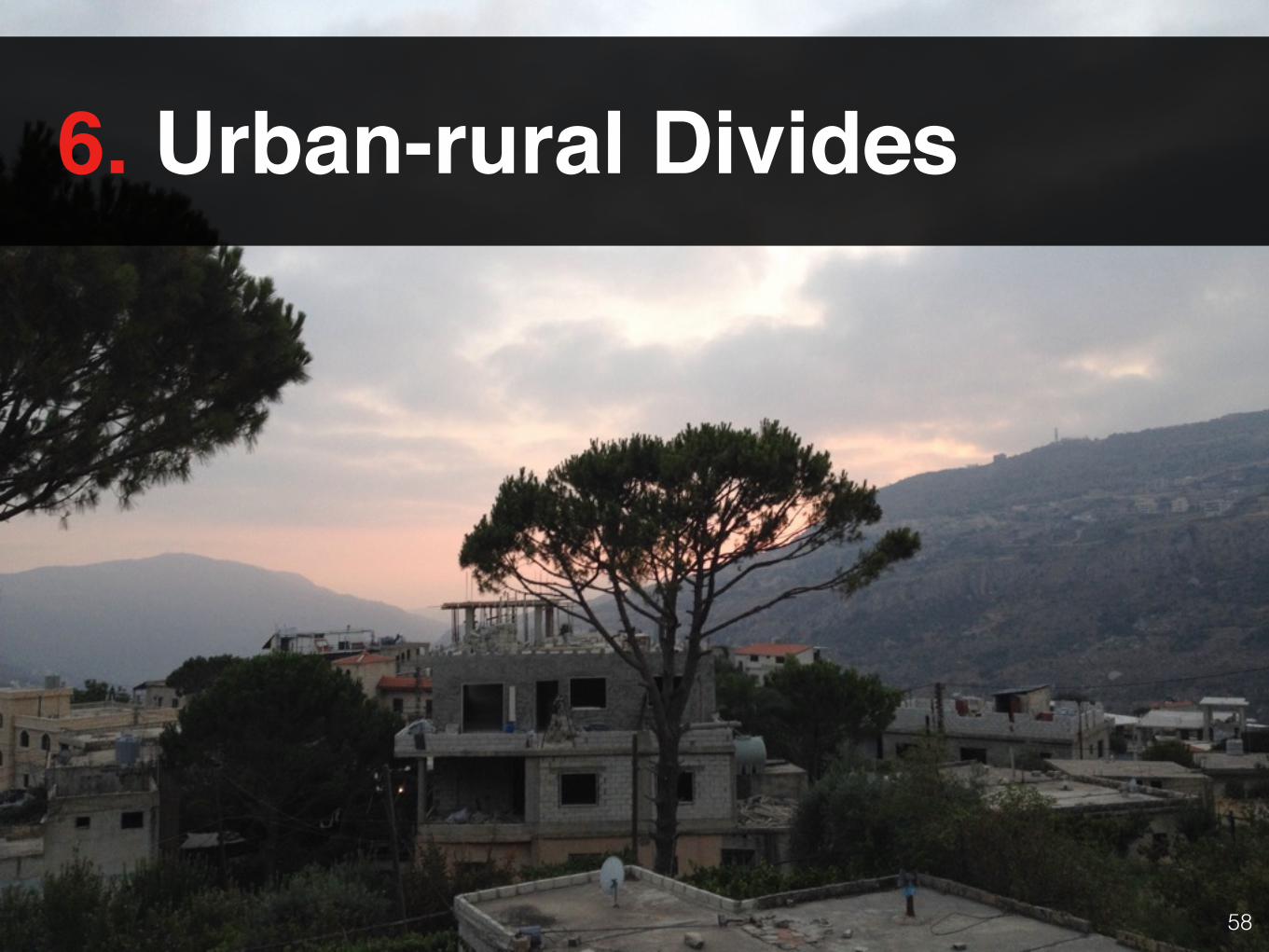
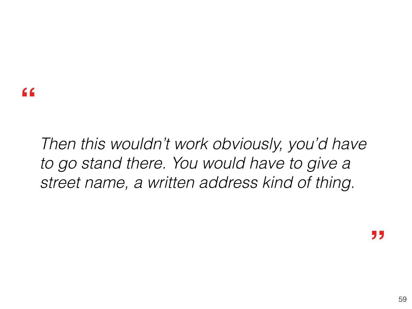
6. Urban-rural Divides
59
Then this wouldn’t work obviously, you’d have to go stand there. You would have to give a street name, a written address kind of thing.
”
“
60
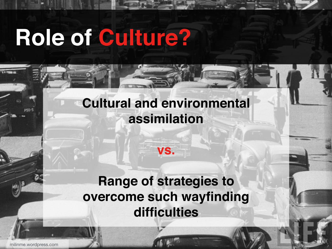
Cultural and environmental assimilation
vs.
Range of strategies to overcome such wayfinding
difficulties
Role of Culture?
milinme.wordpress.com
61
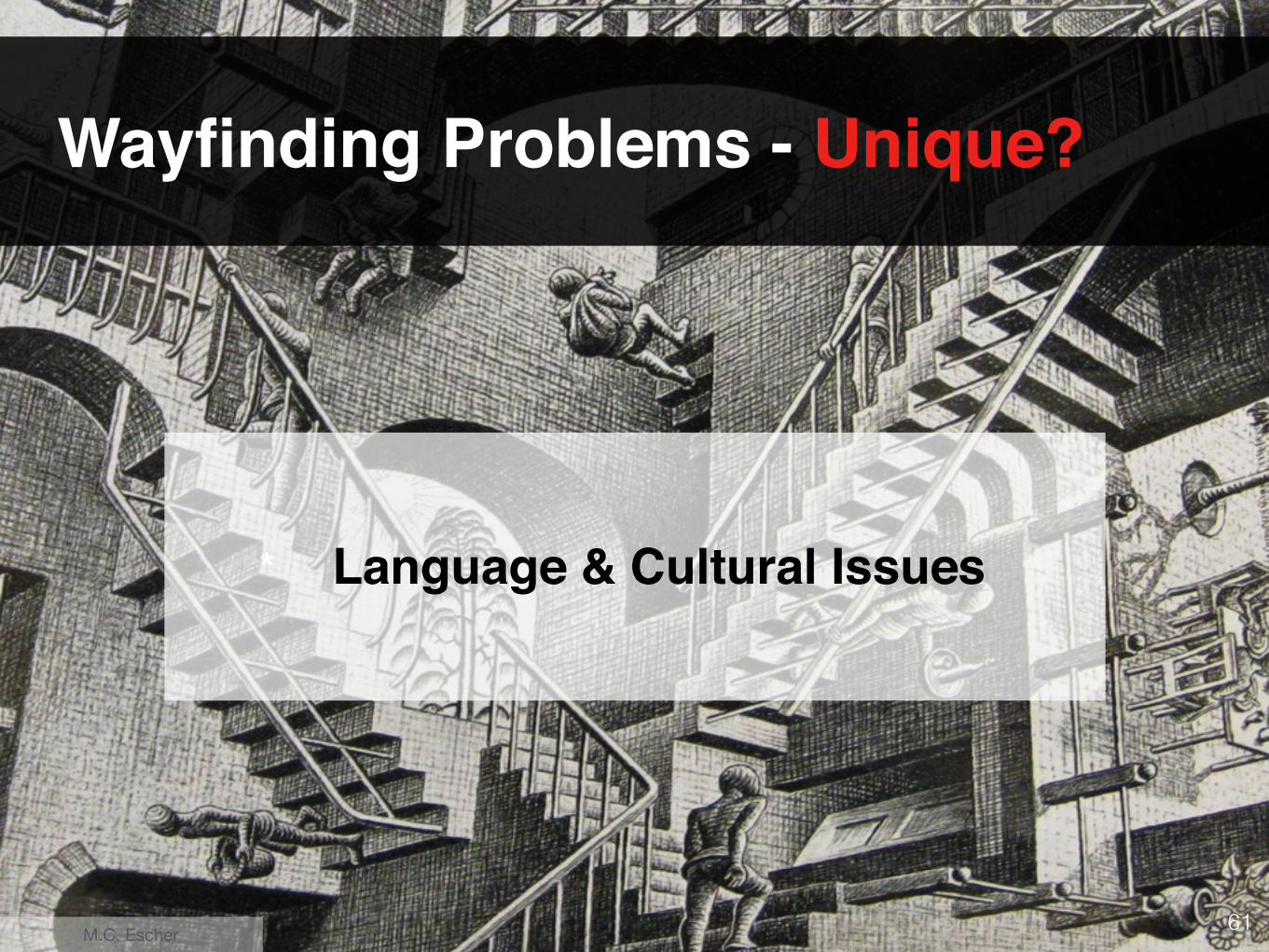
Wayfinding Problems - Unique?
* Language & Cultural Issues
M.C. Escher
62
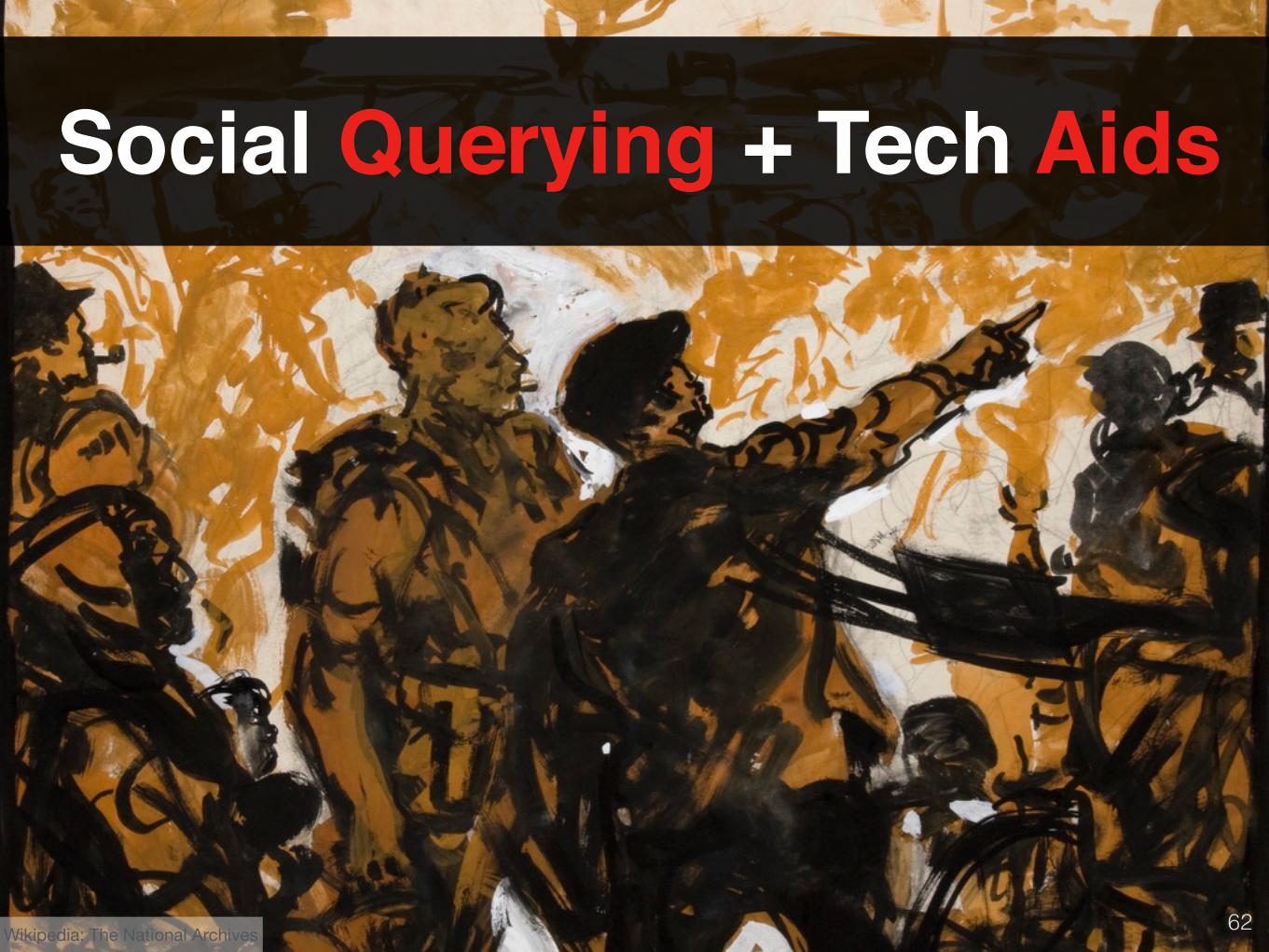
Social Querying + Tech Aids
Wikipedia: The National Archives
63
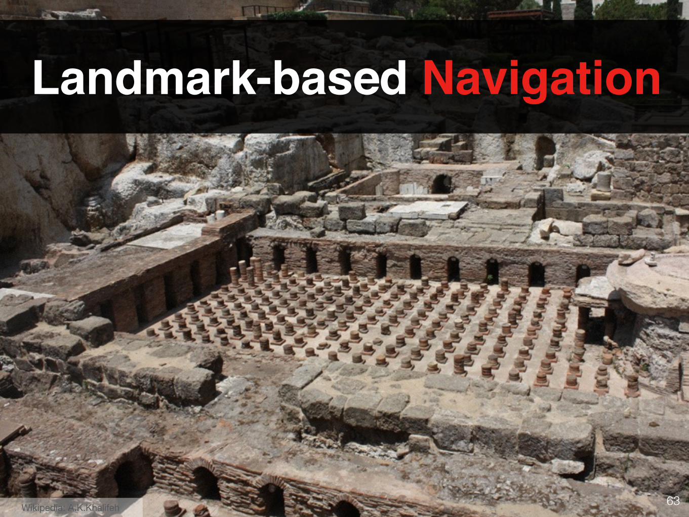
Landmark-based Navigation
Wikipedia: A.K.Khalifeh
64
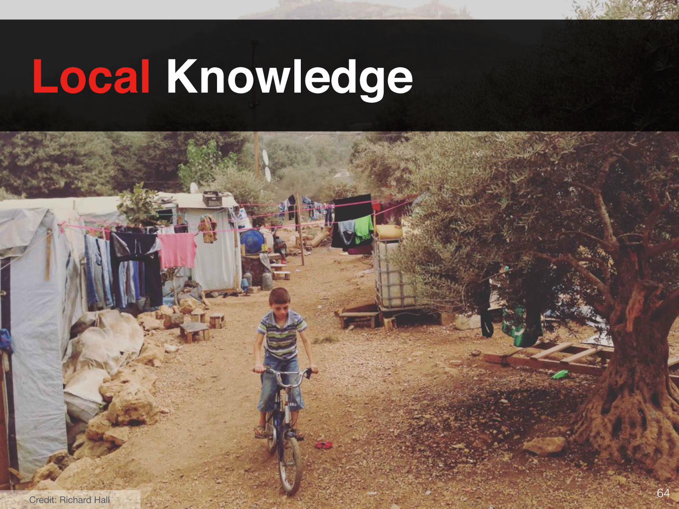
Local Knowledge
Credit: Richard Hall
65
So What?
Conventions are important!
66
• Mix social querying with technology aids • Draw more on landmark-based navigation • Utilize local knowledge, especially for
language issues
Full paper: http://dl.acm.org/citation.cfm?id=2935352
Thank youAbdallah El Aliwww.abdoelali.com [email protected] @abdoelali
Take-home
67
Syed Ishtiaque Ahmed, Nusrat Jahan Mim, and Steven J. Jackson. 2015. Residual Mobilities: Infrastructural Displacement and Post-Colonial Computing in Bangladesh. In Proc. CHI ’15. ACM, New York, NY, USA, 437–446.
GlobalWebIndex. 2013. (2013). http://www.globalwebindex.net/blog/ top- global- smartphone- apps
Kasper L. Jensen, Heike Winschiers-Theophilus, and Kasper Rodil. 2012. Tapping into Local Lore: Toward Scalable Local Mapping and Tagging for Rural Africa Using Mobile Devices. In Proc. NordiCHI ’12. ACM, New York, NY, USA, 631–634.
Indrani Medhi-Thies, Pedro Ferreira, Nakull Gupta, Jacki O’Neill, and Edward Cutrell. 2015. KrishiPustak: A Social Networking System for Low-Literate Farmers. In Proc. CSCW ’15. ACM, New York, NY, USA, 1670–1681.
Sangkeun Park, Yongsung Kim, Uichin Lee, and Mark Ackerman. 2014. Understanding Localness of Knowledge Sharing: A Study of Naver KiN ’Here’. In Proc. MobileHCI ’14. ACM, New York, NY, USA, 13–22.
Wikipedia. https://en.wikipedia.org/wiki/Lebanon
Susan Wyche. 2015. Exploring Mobile Phone and Social Media Use in a Nairobi Slum: A Case for Alternative Approaches to Design in ICTD. In Proc. ICTD ’15. ACM, New York, NY, USA, Article 12, 8 pages.
References