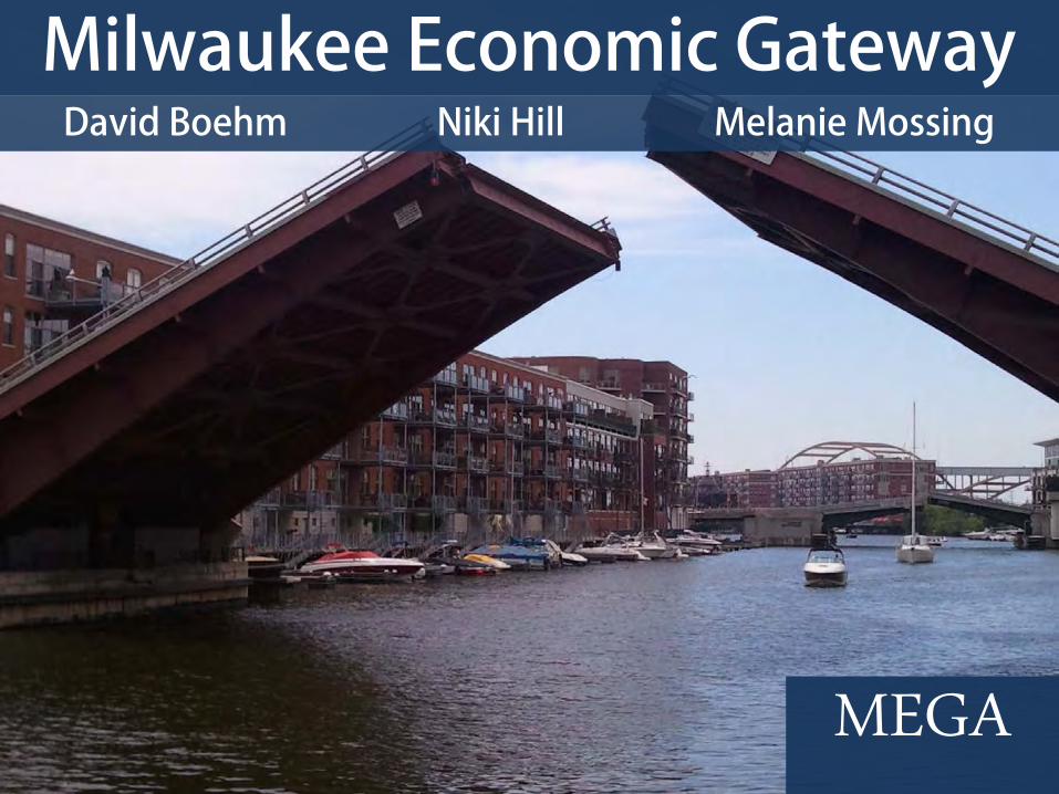
MEGA Milwaukee Economic Gateway
12
MEGA David Boehm Niki Hill Melanie Mossing Milwaukee Economic Gateway
description
Mission of Client: Apply university-based research and technical expertise to improve the quality of life in the region. Vision: Expand economic data available on the existing website to include information that will facilitate development in the community.
Transcript of MEGA Milwaukee Economic Gateway
MEGA
David Boehm Niki Hill Melanie Mossing
Milwaukee Economic Gateway

Project Overview
MEGA
Kate Madison Center for Economic Development
Mission of Client: Apply university-based research and technical expertise to improve the quality of life in the region.
Vision: Expand economic data available on the existing website to include information that will facilitate development in the community.
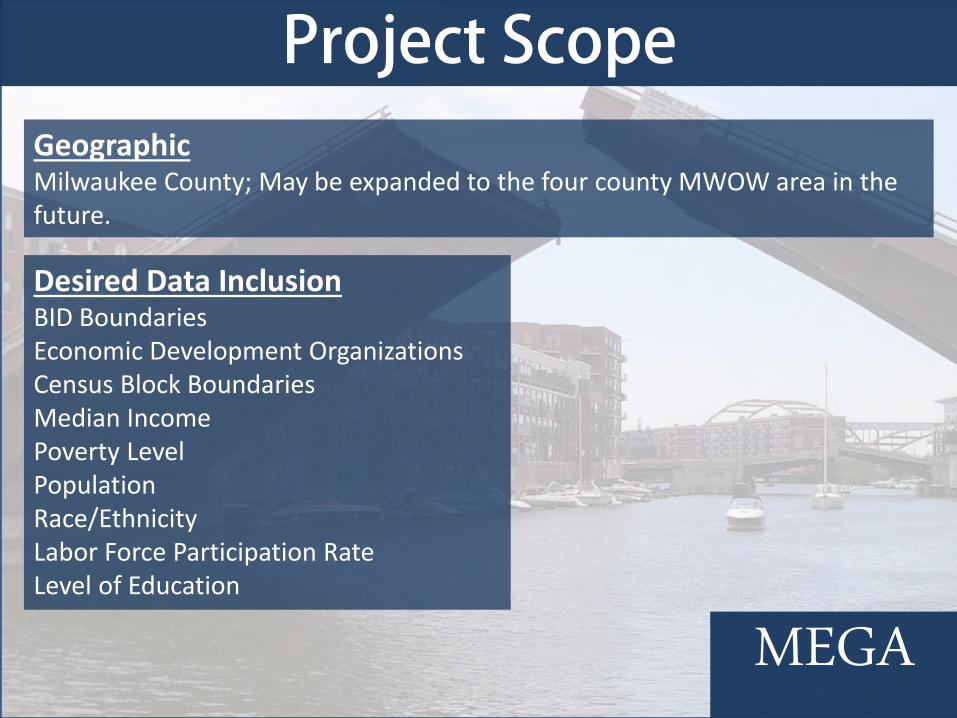
Project Scope
MEGA
Geographic Milwaukee County; May be expanded to the four county MWOW area in the future.
Desired Data Inclusion BID Boundaries Economic Development Organizations Census Block Boundaries Median Income Poverty Level Population Race/Ethnicity Labor Force Participation Rate Level of Education

Objectives
MEGA
• Create MEGA, a prototype website that provides the basis for future information access.
• Develop a plan for future updating, maintenance, and improvements to MEGA.
• Reference of all data added into layers of site for verification purposes.
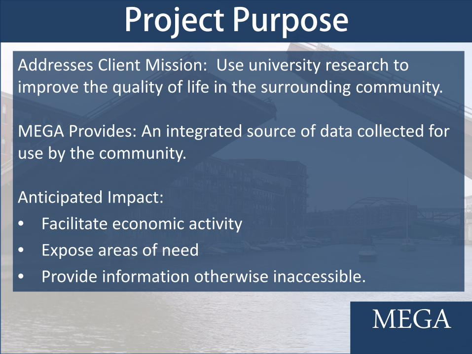
Project Purpose
MEGA
Addresses Client Mission: Use university research to improve the quality of life in the surrounding community. MEGA Provides: An integrated source of data collected for use by the community. Anticipated Impact: • Facilitate economic activity • Expose areas of need • Provide information otherwise inaccessible.

Data Acquisition
MEGA
Collected Data from ESRI, the US Census, UW-Milwaukee Center for Economic Development, Milwaukee County and MCTS
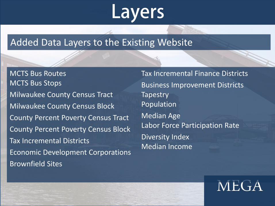
Layers
MEGA
Added Data Layers to the Existing Website
MCTS Bus Routes MCTS Bus Stops Milwaukee County Census Tract Milwaukee County Census Block County Percent Poverty Census Tract County Percent Poverty Census Block Tax Incremental Districts Economic Development Corporations Brownfield Sites
Tax Incremental Finance Districts Business Improvement Districts Tapestry Population Median Age Labor Force Participation Rate Diversity Index Median Income

Metadata
MEGA
Information to give context and references to data

Formatting
MEGA
Edit Website to reflect new information
Click Here to go to the MEGA website.
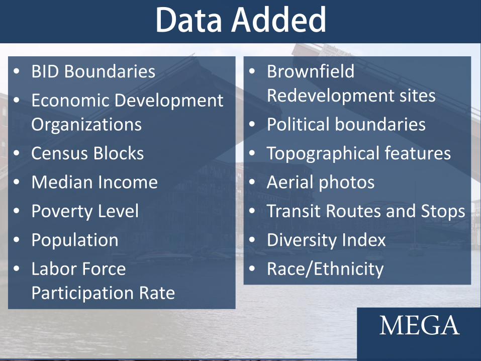
Data Added
MEGA
• BID Boundaries • Economic Development
Organizations • Census Blocks • Median Income • Poverty Level • Population • Labor Force
Participation Rate
• Brownfield Redevelopment sites
• Political boundaries • Topographical features • Aerial photos • Transit Routes and Stops • Diversity Index • Race/Ethnicity

Future Possibilities
MEGA
• Walkability Index • Education Level • Population Density