May 2013 Oracle Spatial and Graph User...
40
May 2013 Oracle Spatial and Graph User Conference
Transcript of May 2013 Oracle Spatial and Graph User...

May 2013 Oracle Spatial and Graph
User Conference

May 22, 2013 Ronald Reagan Building and International Trade Center
Washington, DC USA

Andy Street VP, Spatial Business Systems
Farrid Zeighami Strategic Project Architect, So. Cal. Edison

Implementing Enterprise GIS at Southern California Edison
Challenges and Opportunities

Program Agenda
• Introduction to SCE GIS • Enterprise GIS System Architecture • Data management considerations
– Data transformation – Conflict resolution – Network modeling – Metadata modeling – Symbology management – Global IDs – Performance considerations
• Conclusions

About SCE
6

About SCE
7

GIS at SCE
8
Transmission & Distribution
Network Communications Environmental Health & Safety
Telecom Engineering
Real Properties Customer Service

SCE and Spatial Technologies
• Long time users of geospatial technologies • Many systems evolved
– AutoCAD – general mapping – Autodesk Utility Design – electrical design – Smallworld GIS – circuit mapping, streetlight mapping – ESRI – real estate, environmental and other mapping products
• Disparate systems, multiple land bases and data quality issues caused significant challenges – Safety, Reliability, Compliance – Costly to maintain
• An enterprise-level consolidation effort was necessary 9
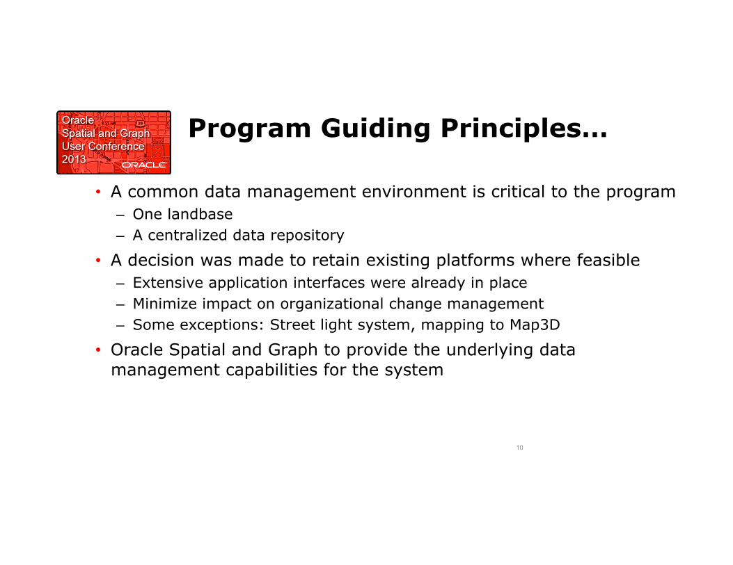
Program Guiding Principles…
• A common data management environment is critical to the program – One landbase – A centralized data repository
• A decision was made to retain existing platforms where feasible – Extensive application interfaces were already in place – Minimize impact on organizational change management – Some exceptions: Street light system, mapping to Map3D
• Oracle Spatial and Graph to provide the underlying data management capabilities for the system
10

Spatially Enabled Applications
11
Day in the Life Overview (IPSEC Model)

Enterprise GIS System Architecture
12

High Level System Architecture
13

Terminology – Data bases
• Application databases – Databases used to support specific applications, e.g. Smallworld Cornerstone, North
American Data Model, ESRI, SAP, EO
• Operational datastore – The operational database that includes staging models, metadata models,
administration tables and the canonical data store.
• Canonical datastore – Application independent representation of the SCE “Real World Objects” with
mappings back to the application view of the data
• Spatial data warehouse – A consolidated view of the entire GIS database that is isolated from the changes
occurring in the ODS. The spatial data warehouse mirrors the canonical data store and provides application specific data marts to support SCE business requirements such as analytics and temporal modeling
14

High Level Data Architecture
15

ODS Architecture
16

SDW Architecture
17
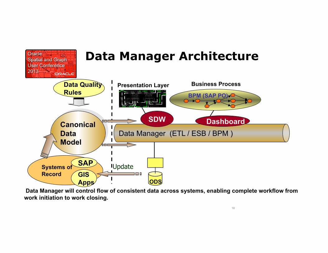
Data Manager Architecture
18
Data Manager (ETL / ESB / BPM )
Presentation Layer Business Process
SDW Dashboard Canonical Data Model
Data Quality Rules BPM (SAP PO)
ODS
Systems of Record
Update GIS Apps
SAP
Data Manager will control flow of consistent data across systems, enabling complete workflow from work initiation to work closing.
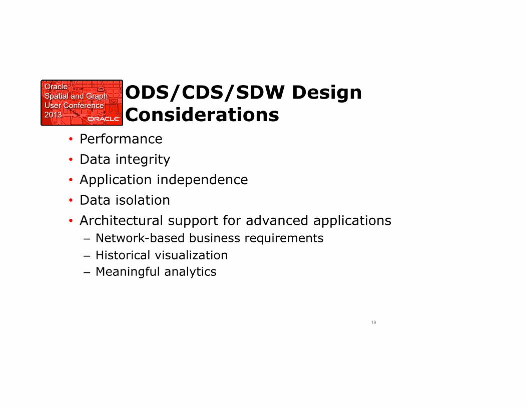
ODS/CDS/SDW Design Considerations
• Performance • Data integrity • Application independence • Data isolation • Architectural support for advanced applications
– Network-based business requirements – Historical visualization – Meaningful analytics
19

Data Management Considerations
20
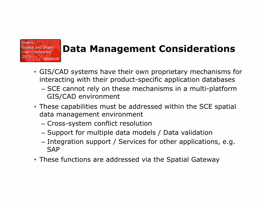
Data Management Considerations
• GIS/CAD systems have their own proprietary mechanisms for interacting with their product-specific application databases – SCE cannot rely on these mechanisms in a multi-platform
GIS/CAD environment • These capabilities must be addressed within the SCE spatial
data management environment – Cross-system conflict resolution – Support for multiple data models / Data validation – Integration support / Services for other applications, e.g.
SAP • These functions are addressed via the Spatial Gateway 21

Application Context Diagram
22
T&D Data Editors Data Consumers Enterprise Data and Application Services

Spatial Gateway Architecture Diagram
• COTS components – Oracle Spatial and Graph – Safe FME + Plug-ins – Oracle MapViewer – SAP PI
• Services used to address specific business requirements
23

Spatial Gateway and the ODS
• Data Access: FME and plug-ins
• Data Transformation: FME and custom transformers
• Data Synchronization: plug-ins and staging difference tables
• Version Management: Oracle WM
• Conflict resolution: Oracle workspace manager with extensions
• Global ID: Based on Oracle / FME
• Data Validation: Based on FME / Oracle
• Metadata: Based on FME / Oracle
• Application Services: By application
24
FME Work bench
FME Server Engine
FME Server Engine…
Plug-‐ins
Plug-‐ins
Valida;on Framework
Metadata Management
Version Management
Applica;on Services
Conflict Resolu;on

Data Transformation and Synchronization
• A key design goal is to transform different data models – Supports use of vendor and industry standards – ODS canonical model is tuned to the SCE business
• Applications, APIs and services are required to expose mechanisms to insert/update and delete ODS data
• Key components: – Safe Software FME / FME Server – OSpatial Plug-in (SBS Spatial Gateway) – OSGeo FDO can fill the role where appropriate
25
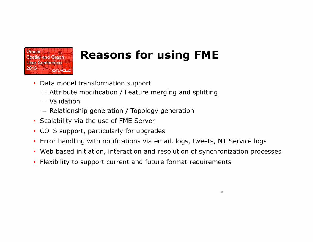
Reasons for using FME
• Data model transformation support – Attribute modification / Feature merging and splitting – Validation – Relationship generation / Topology generation
• Scalability via the use of FME Server • COTS support, particularly for upgrades • Error handling with notifications via email, logs, tweets, NT Service logs • Web based initiation, interaction and resolution of synchronization processes
• Flexibility to support current and future format requirements
26
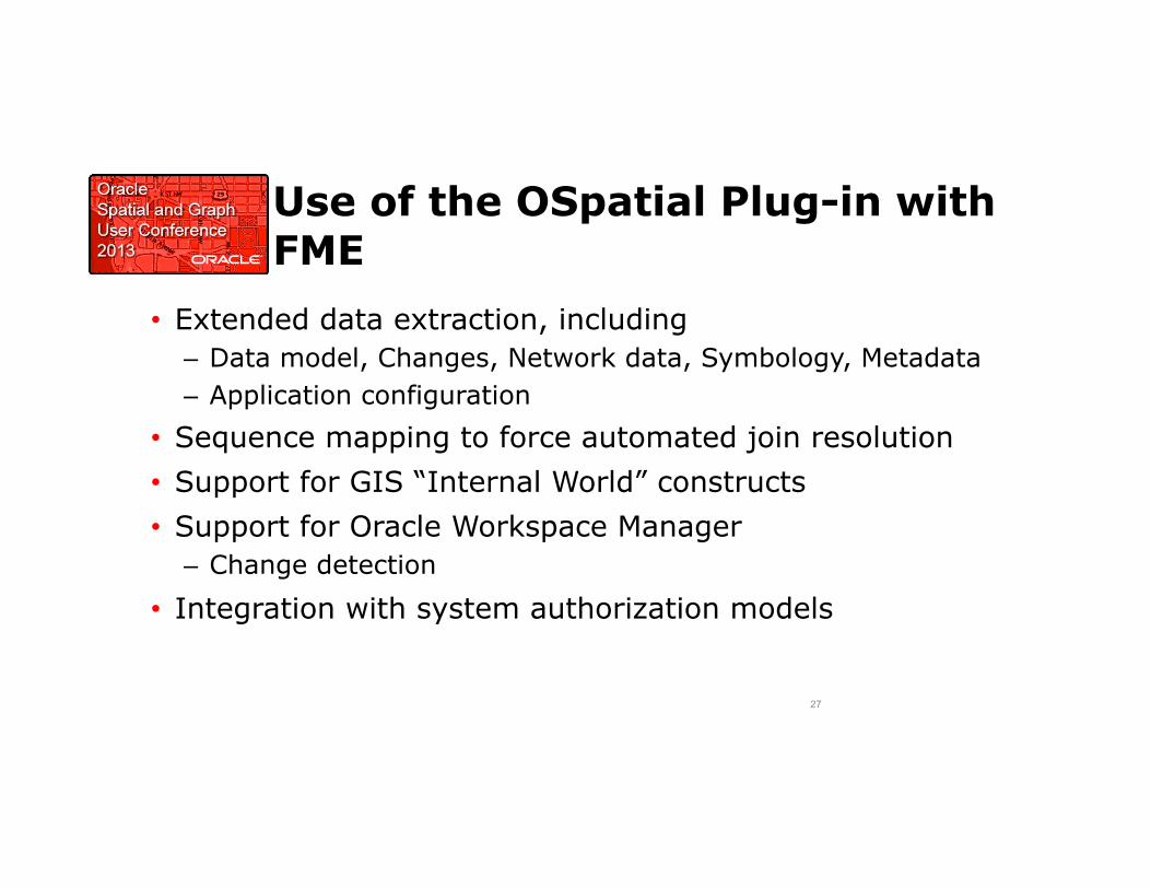
Use of the OSpatial Plug-in with FME
• Extended data extraction, including – Data model, Changes, Network data, Symbology, Metadata – Application configuration
• Sequence mapping to force automated join resolution • Support for GIS “Internal World” constructs • Support for Oracle Workspace Manager
– Change detection
• Integration with system authorization models
27

Interoperability Data Flows
28
Data Synchronization Services
• Data sources synchronized with ODS – GE Smallworld Circuit data – Map3D – Michael Baker Landbase (ESRI) – AUD data added, not synchronized
• Synchronization approach is dependent upon change detection support mechanisms of specific GIS environments – Incremental changes in SWLD supported via Spatialbiz plug-in – Map3D (FDO supports insert/update/delete transaction flagging) – ESRI (various ESRI formats support concepts of inserts/updates/
deletes) 29

Conflict Resolution
• As data is merged and posted between workspaces, the potential for conflicts in the long transaction data exists
• Oracle Workspace Manager provides tools for comparing changes from different workspaces and can identify sources of data change conflict
• Such situations occur when two users modify the same feature at the same time, but in different workspaces.
• In this case merge / post operations may result in overwriting one user’s data in favor of the other
• It is necessary to provide a tool to visualize the changes and for a GIS technician to compare and resolve the changes through semi-automated or manual processes.
30
Conflict Resolution (2)
• Major issue is the support for multiple users operating under a long transaction model
• Objective is to leverage source and target tools for detecting and resolving conflicts
• Designated alternatives for read/write operations used for synchronization operations
• Conflicts can be identified and resolved in the system, resolution results are sent to the peer
• Use of the fme_db_operation attribute supports tolerance of redundant changes
31

Network Modeling
• Oracle Spatial and Graph Network Data Model – Spatial Network with extensions for feature references
• Multiple Models to Reflect Source – Electric
• Transmission / Distribution / Secondary – Structural
• Pole Route / Conduit / Trench – Transportation
• Roads / Rail
32
Network Modeling (2)
• Built / Updated automatically by FME plug-ins • Partitioning by Circuit
– Landbase partitioning not defined as yet
• Custom / SDO_NET tracing engines to support – Applications – Validation – Synchronization
33

Metadata Modeling
• Numerous approaches exist – intent was to keep it very straightforward – Auto generation where possible – Stored in the ODS
• Three level, transaction-oriented model – Job, Feature & Attribute levels
• Archival requirements are to be determined • One key use is to support temporal modeling
34

Symbology Management
• Multiple symbol sets from source applications • Necessary to persist some in the ODS • SW Symbols used directly in some viewers • Symbol and Text Stroking used for Web / Thin client
deployment – Converts point and text to multi-linestring with symbol/font/size/
orientation embedded – Implemented via FME Transformers
35

Stroking Transformer
• Reads template libraries and replaces FME Geometry with the stroked representation
• Works for both Symbols and Text

Global ID Model
• GUID_REGISTRY
– Repository / Mapping for each instantiated GUID – ODS Feature: ODS object where this object acts as a Primary Key – Source Feature: Identifier for the specific feature this data is brought over
from, in the source system. – Source System: System where this data existed previously – Key: Unique Identifier for this record in the Source System, for the
Source Feature object (These 3 values combine with the specific ODS Feature to form a Unique Index on GUID_REG)
37

Global ID Model
• Each Source Feature/Source System/Key combination for a piece of data would yield a separate record for a given GUID – GUID is not a unique column, as multiple sources can/will exist – Used for forward / reverse lookups
• Key fields, Foreign Key fields
• GUID_FEATURE_ALIAS – Contains systems-specific aliases/nicknames for given objects
• To support non-key lookups for a feature
38

Performance Considerations
• Domain table performance – Will be validated during next stages of development
• Metadata management – Can be implemented on an optional basis – Data retention based on business needs
• Workspace manager – Implement on staging tables – Will not use on CDS
• Physical performance enhancements will be implemented in future stages (partitioning, archiving, parallelization)
39

Conclusions
Consolidate physical, electrical, and spatial attributes of all TDBU assets so SCE can: – Correct missing / inaccurate asset information – Correct inaccurate Transformer Load Management data – Establish overall electrical connectivity model from meter to substation
This will enable SCE to: – Provide more accurate asset data to our planners and crews, to better ensure safety
and reliability of our system – Pro-actively identify and address vulnerabilities in our system – Provide more accurate/timely data to customers/regulators
40