
Mapping Food Security and Development: From Yemen Atlas to Yemen Spatial
23
Mapping food security and development: From Yemen Atlas to Yemen Spatial Perrihan Al-Riffai International Food Policy Research Institute IFPRI-IFAD Workshop on “Decreasing Vulnerability to Conflict in MENA through Rural Development”; Sanaa, Yemen; 9 April 2013
-
Upload
ifprimena -
Category
Economy & Finance
-
view
51 -
download
4
Transcript of Mapping Food Security and Development: From Yemen Atlas to Yemen Spatial

Mapping food security and development: From Yemen Atlas to Yemen Spatial
Perrihan Al-Riffai
International Food Policy Research Institute
IFPRI-IFAD Workshop on “Decreasing Vulnerability to Conflict in MENA through Rural Development”; Sanaa, Yemen; 9 April 2013

Yemen Food Security Atlas 2010
• desktop application developed in the context of the National Food Security Strategy (NFSS)
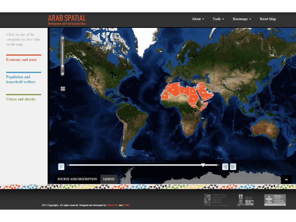
Arab Spatial
• online application developed with IFAD at regional level
Next steps: towards Yemen Spatial, to be developed
Outline
3
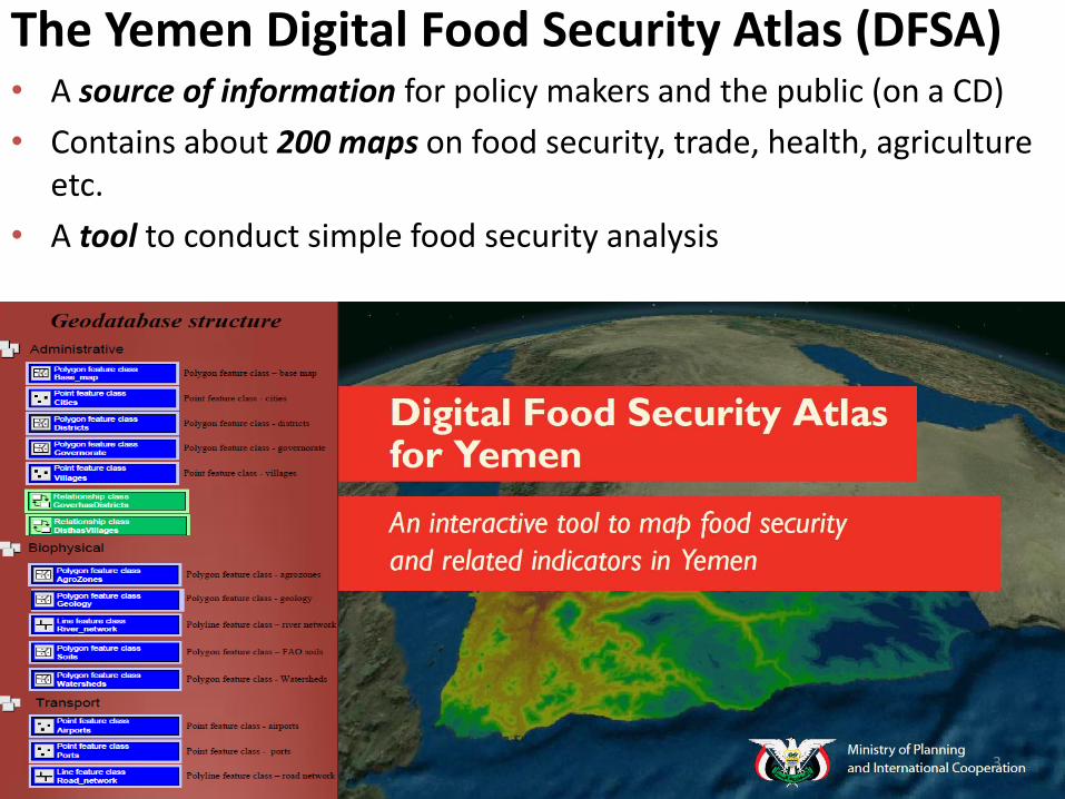
The Yemen Digital Food Security Atlas (DFSA) • A source of information for policy makers and the public (on a CD)
• Contains about 200 maps on food security, trade, health, agriculture etc.
• A tool to conduct simple food security analysis
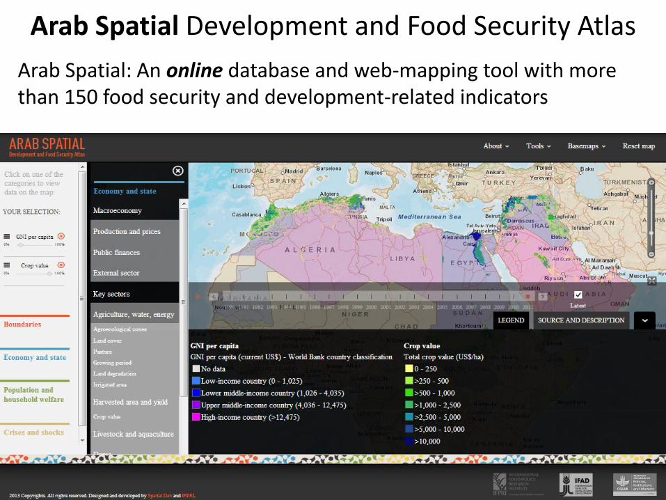
Arab Spatial: An online database and web-mapping tool with more than 150 food security and development-related indicators
Arab Spatial Development and Food Security Atlas
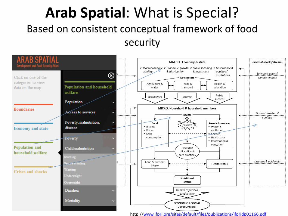
Arab Spatial: What is Special? Based on consistent conceptual framework of food
security
http://www.ifpri.org/sites/default/files/publications/ifpridp01166.pdf

• Online
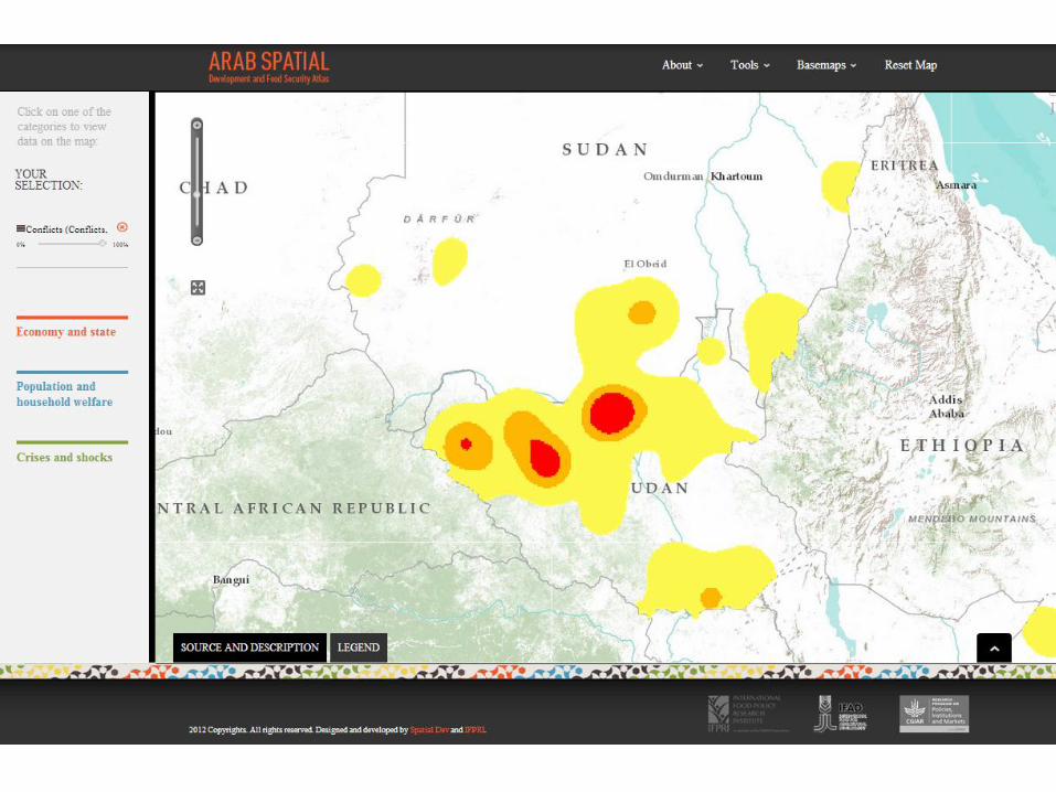
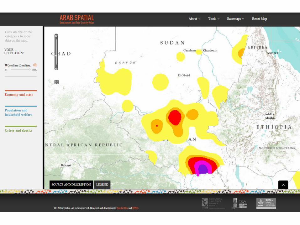
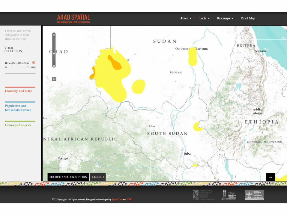
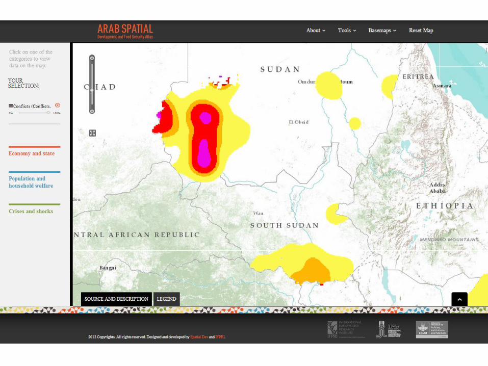
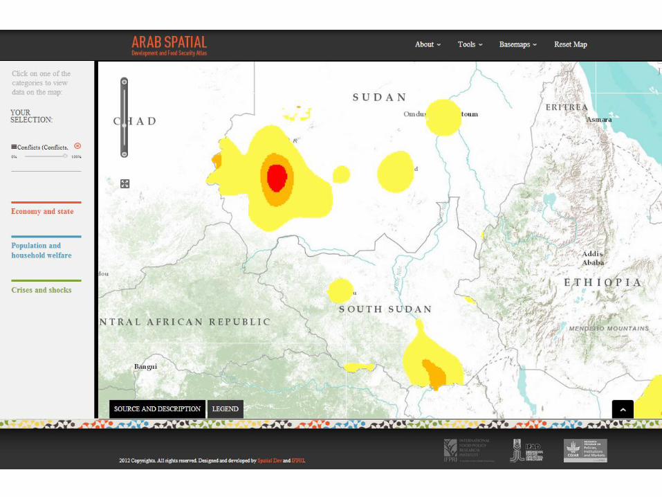
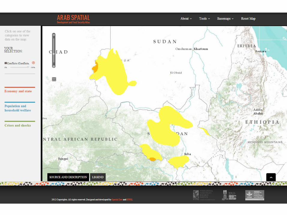
• Dynamic over time (e.g. conflict)
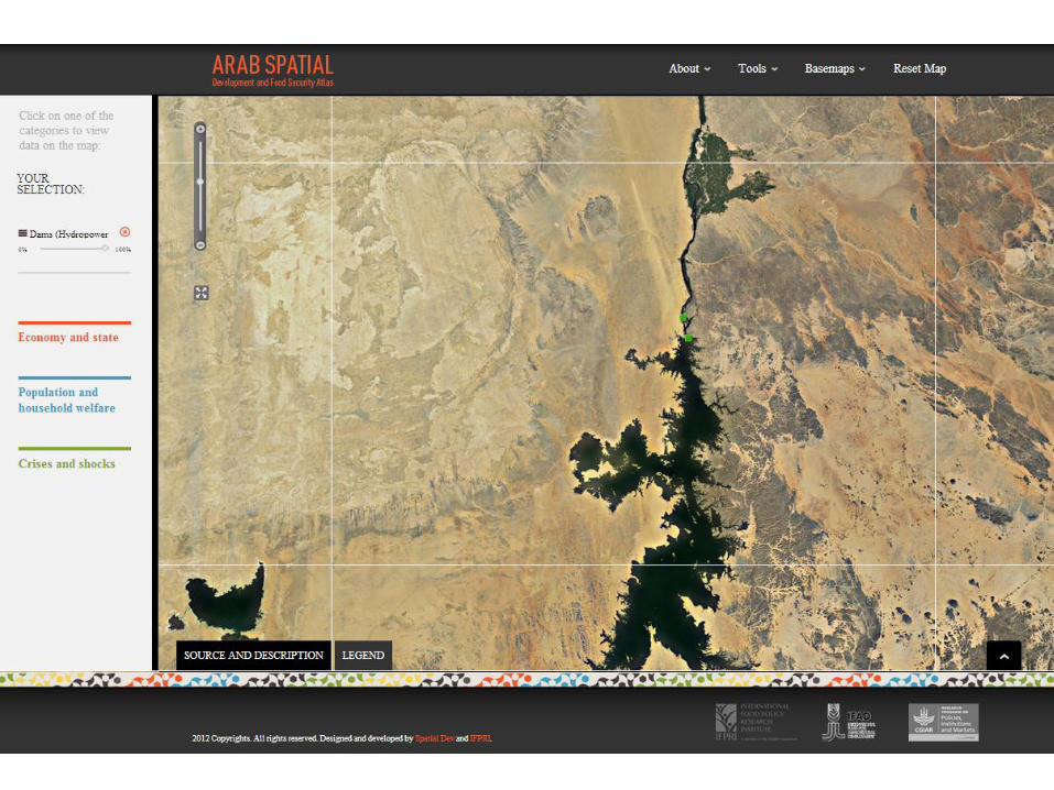
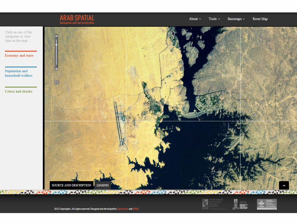
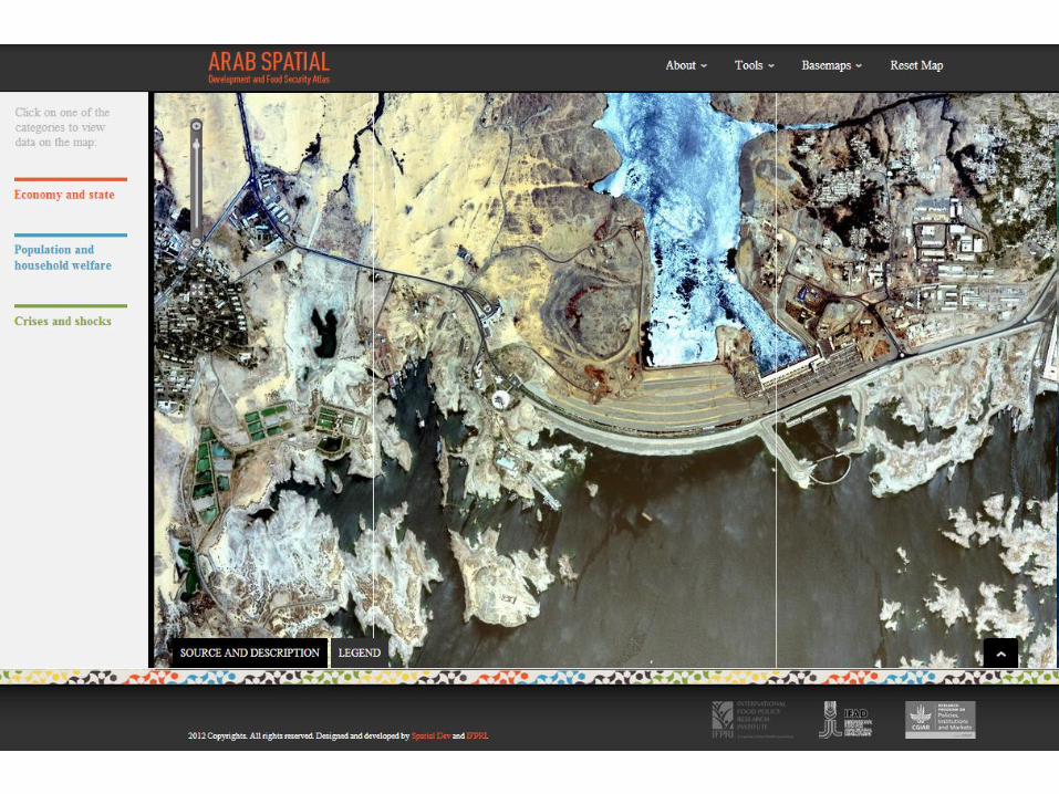
• Zoom in function (e.g. Aswan High Dam)
• Download of maps and metadata (.shp & .csv)
• Others
www.arabspatial.org
Difference from Yemen Atlas
Dynamic features Example: conflict in Sudan


Zoom in-out Example: Aswan High Dam

Next steps Yemen Spatial
• Based on the Yemen Atlas
• Updated data
• Additional data
Collaboration between IFPRI, IFAD, GoY and others
Launch of Yemen Spatial early 2014
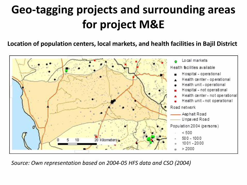
Geo-tagging projects and surrounding areas for project M&E
Location of population centers, local markets, and health facilities in Bajil District
Source: Own representation based on 2004-05 HFS data and CSO (2004)


![ATLAS BASED APPROACHFOR THE SEGMENTATION OF INFANT …aa16914/pdf/Atlas-based approach for the segme… · The LCDG model is described in detail in [16Ð18]. 3D Spatial Interaction](https://static.fdocuments.us/doc/165x107/6065def7cdbc8c33394a043f/atlas-based-approachfor-the-segmentation-of-infant-aa16914pdfatlas-based-approach.jpg)
