Management and application of drone-captured...
19
Management and application of drone-captured imagery in GIS Featuring Drone2Map and FMV Daniel Siegel & Cody Benkelman, Esri Phu Nguyen, 3DR
Transcript of Management and application of drone-captured...
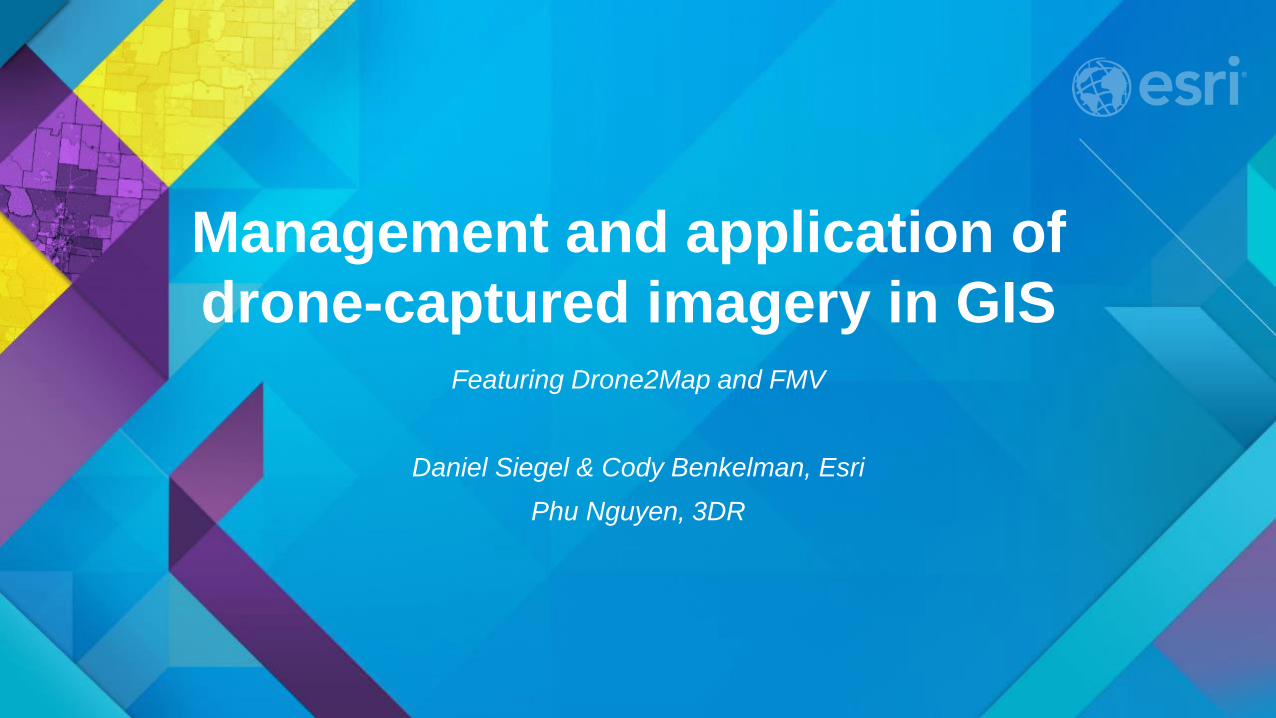
Management and application of drone-captured imagery in GIS
Featuring Drone2Map and FMV
Daniel Siegel & Cody Benkelman, Esri Phu Nguyen, 3DR
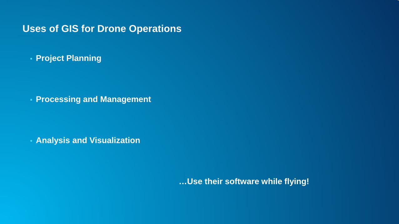
Uses of GIS for Drone Operations
• Project Planning
• Processing and Management
• Analysis and Visualization
…Use their software while flying!
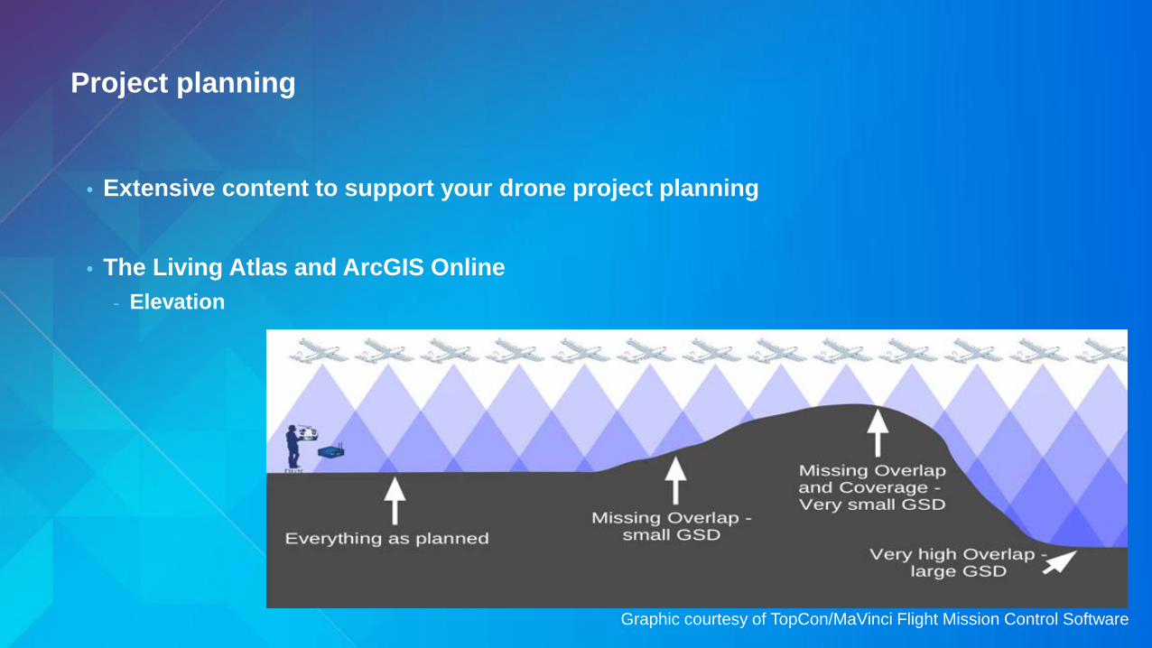
Project planning
• Extensive content to support your drone project planning
• The Living Atlas and ArcGIS Online - Elevation
Graphic courtesy of TopCon/MaVinci Flight Mission Control Software

Project planning
• Extensive content to support your drone project planning
• The Living Atlas and ArcGIS Online - Elevation - Weather, Wind - Political Boundaries - FAA maps
…more…

ArcGIS for Image Management & Processing
• Drone2Map - App Optimized for single frame imagery
• FMV (Full Motion Video) add-in for drone video

ArcGIS for Visualization & Analysis
• Visualization - Use in ArcMap and ArcGIS Server like any other kind of imagery - Fast easy display of imagery in 2D and 3D in ArcGIS Pro
• Analysis Tools
- Calculate NDVI - Delineate flood extent - Track algal blooms

Drone2Map
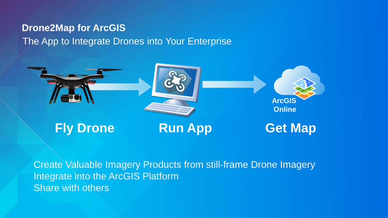
The App to Integrate Drones into Your Enterprise Drone2Map for ArcGIS
ArcGIS Online
Fly Drone Run App Get Map
Create Valuable Imagery Products from still-frame Drone Imagery Integrate into the ArcGIS Platform Share with others

Drone2Map Supports Complete Workflows for
• 2D Mapping - For interpretation and analysis. E.g. map updating, agriculture, site monitoring
• 3D Mapping - For 3D visualization and modeling. E.g. urban planning, building reconstruction
• Inspections - For review of fine details. E.g. industrial and utility management
Input is folder of frame imagery with approx. GPS coordinates and sufficient overlap All products integrate into the ArcGIS platform for further visualization and analysis

2D Mapping Workflows
• High Resolution Color Orthomosaics - For interpretation and mapping
• Digital Surface Models
- For visualization and volumetric analysis
• Multispectral Analytic Imagery (with appropriate cameras)
- NDVI for vegetation analysis
Output and Share: - Image cache direct to ArcGIS Online - TIF image mosaics for use in desktop or enterprise applications

3D Mapping Workflow
• 3D Mesh - Texture Surface as 3D scenes and models
• 3D Point clouds
- Use for visualization and 3D analysis
• Output and Share: - 3D Web Scenes for use in 3D apps & ArcGIS Earth - 3D PDFs, .OBJ and .LAS files for additional integration
3D PDF

Inspection Workflows
• Georeferenced Imagery - Georeference Oblique imagery to ground to enable accurate
interpretation with full image information
• Oriented Imagery - Imagery associated with 3D objects for detailed inspection
• Output and Share: - Feature Web Service of geospatially linked high resolution imagery - Feature class for additional integration
Oblique Imagery Smart Inspection
on Web and Desktop

Drone2Map for ArcGIS
• Desktop App
• Annual Subscription Fee (“Premium App”)
• Licensed per named user (ArcGIS Online or Portal)
• Allows for ‘offline’ use (e.g. field work)
For more information http://www.esri.com/drone2map
Leverage Your ArcGIS Identity
Named User
Drone2Map License Assigned by administrator
ArcGIS

Full Motion Video in ArcGIS

FMV add-in for ArcGIS Efficiently work with georeferenced video (MISB format)
• With FMV you can: - Display moving video on your map - Project map features into the video - Organize and search for video files - Summarize and extract information
• Direct connect to live video streams,
or play back supported video source (.mpg, .mp4, more)

Full Motion Video (FMV) Make your maps come alive
• Work with videos from nearly any source: - Drones (UAS,UAV) - Aerial (helicopters, fixed wing, persistent surveillance) - Terrestrial (fixed and mobile cameras) - Hand held mobile devices - Satellites

Organize & Manage Your Videos Video that’s easy to manage, use, and view
• Search based on metadata, location, and time • Create coverage maps with extracted frames • Extract video metadata • Record live video streams • Export important clips

“Multiplexer” Geoprocessing Tool Added in FMV version 1.3
• Integrate GPS and IMU data (if available) into stored video file for compatibility with MISB format
- Estimated camera orientation may be used if no IMU
• Extend FMV and ArcGIS to simple, low cost UAS (drone) video sensors

For More Information! FMV Landing Page
www.esri.com/fmv
• www.esri.com/fmv • Download the FMV 1.3 Add-In & GP Tools • Find Tutorials and Sample Data • Access our FAQ • Blogs