Legend - Bayside Council
1
Sources: Esri, HERE, Garmin, Intermap, increment P Corp., GEBCO, USGS, FAO, NPS, NRCAN, GeoBase, IGN, Kadaster NL, Ordnance Survey, Esri Japan, METI, Esri China (Hong Kong), (c) OpenStreetMap contributors, and the GIS User Community Legend Botany Bay Precinct Mascot Station Precinct Miles Street Precinct Arncliffe Precinct Arncliffe Banksia Precinct Bexley North Precinct Bexley Precinct Bonar Street Precinct Brighton Le Sands Precinct Kogarah Precinct Ramsgate Town Centre Precinct Rockdale Precinct Sans Souci Precinct Wolli Creek Precinct ¯ 1:11,829 0 1 2 0.5 Kilometers
Transcript of Legend - Bayside Council
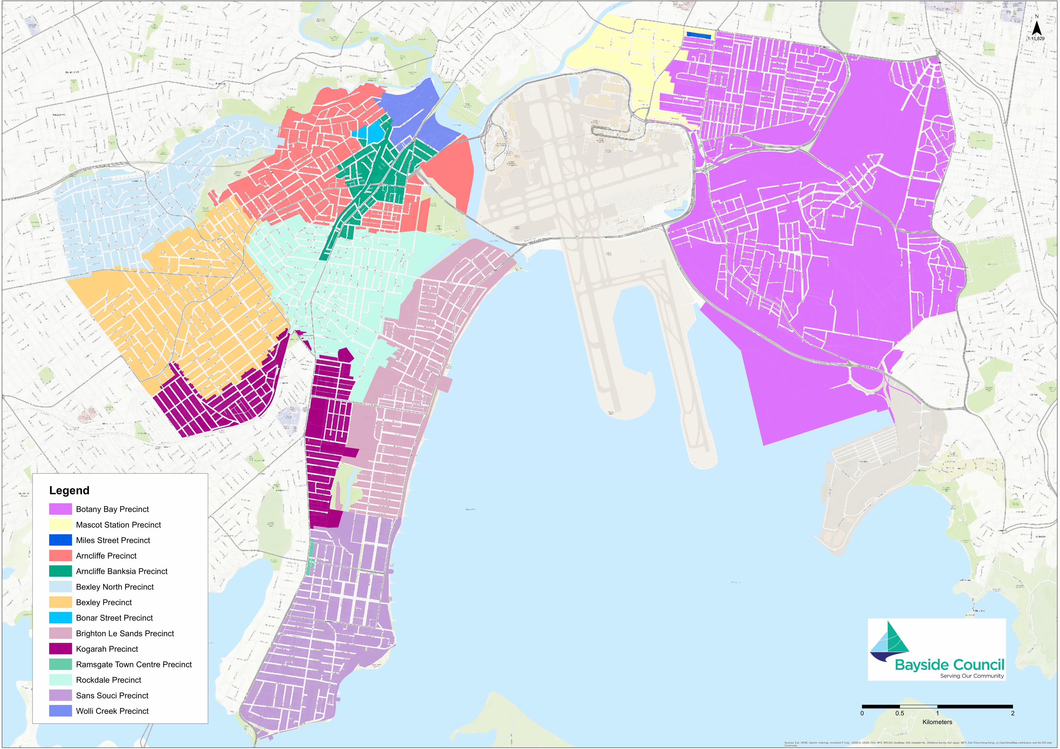
Sources: Esri, HERE, Garmin, Intermap, increment P Corp., GEBCO, USGS, FAO, NPS, NRCAN, GeoBase, IGN, Kadaster NL, Ordnance Survey, Esri Japan, METI, Esri China (Hong Kong), (c) OpenStreetMap contributors, and the GIS UserCommunity
LegendBotany Bay PrecinctMascot Station PrecinctMiles Street PrecinctArncliffe PrecinctArncliffe Banksia PrecinctBexley North PrecinctBexley PrecinctBonar Street PrecinctBrighton Le Sands PrecinctKogarah PrecinctRamsgate Town Centre PrecinctRockdale PrecinctSans Souci PrecinctWolli Creek Precinct
¯1:11,829
0 1 20.5Kilometers