Larger GIS Community Can answer: –Local questions at small extents Spatial and temporal extents...
16
Larger GIS Community • Can answer: – Local questions at small extents • Spatial and temporal extents limited – Global questions at low resolution (while ignoring uncertainties) • Need to answer: – Global questions with better uncertainties and higher resolution • Requires: – Uniform data at high resolution across multiple disciplines
-
Upload
dylan-garey-horn -
Category
Documents
-
view
229 -
download
0
Transcript of Larger GIS Community Can answer: –Local questions at small extents Spatial and temporal extents...

Larger GIS Community
• Can answer:– Local questions at small extents
• Spatial and temporal extents limited
– Global questions at low resolution (while ignoring uncertainties)
• Need to answer:– Global questions with better uncertainties
and higher resolution
• Requires:– Uniform data at high resolution across
multiple disciplines

Problems
• Too much data duplication = waste
• Not enough data duplication = failure to respond to emergencies
• Ad hoc data sharing has many difficulties
• Data often tailored to one application
• Best data often collected in greatest detail at local level but not accessible to regional or national folk
• Metadata often unavailable

What is Required
• High speed networks
• Standard communication protocols
• Standard data formats
• Standardized collection methods
• Standardized metadata
• Library type infrastructure– Unique identifiers for everything– Uniform, persistent, and easy to use
discovery tools– Regular reviews and updates
Importance of Standards
• Can’t exchange data without a common language:– Ad-Hoc Standards:
• No formal definition
– Formal Standards:• Review organization
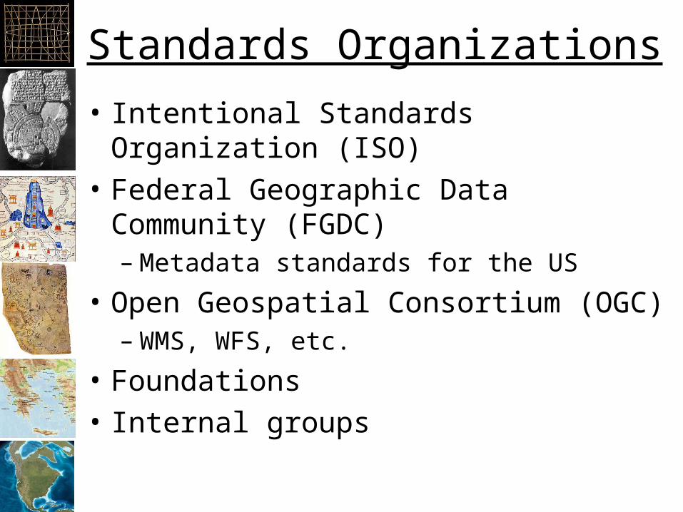
Standards Organizations
• Intentional Standards Organization (ISO)
• Federal Geographic Data Community (FGDC)– Metadata standards for the US
• Open Geospatial Consortium (OGC)– WMS, WFS, etc.
• Foundations
• Internal groups

Types of Standards
• Hardware: 10 Base T, USB, Firewire
• Communication: TCP/IP, HTTP
• Documents: HTML, PDF, “doc”, RTF
• Data: Shapefile, TIFF
• Web services:– Weather– Yahoo, Google Maps API– WFS, ArcGIS Online…
• Operating systems?
• Software?

National Spatial Data Infrastructure
• “The technology, policies, standards, and human resources necessary to acquire, process, store, distribute, and improve utilization of geospatial data.”
Source: Presidential Executive Order #12906 (1994): “Coordinating Geographic Data Acquisition and Access: The National Spatial Data Infrastructure” W. Clinton.

INSPIRE – INfrastructure for SPatial InfoRmation in Europewww.inspire-geoportal.eu
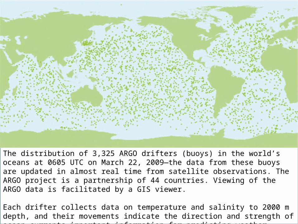
The distribution of 3,325 ARGO drifters (buoys) in the world’s oceans at 0605 UTC on March 22, 2009—the data from these buoys are updated in almost real time from satellite observations. The ARGO project is a partnership of 44 countries. Viewing of the ARGO data is facilitated by a GIS viewer.
Each drifter collects data on temperature and salinity to 2000 m depth, and their movements indicate the direction and strength of ocean currents—important information for predicting weather.

SGML
HTML XML
WMS WFSWCSFGDC
WTS KML
Extensible Markup Language

Jim’s Standards Efforts
• Tagged Image File Format– Too complex
• TWAIN– Just right!
• GISIN– Jury is still out