June 24, 2005Lands Branch Overview1. June 24, 2005Lands Branch Overview2 Branch Mandate...
18
June 24, 2005 Lands Branch Overview 1
-
Upload
john-bangs -
Category
Documents
-
view
214 -
download
0
Transcript of June 24, 2005Lands Branch Overview1. June 24, 2005Lands Branch Overview2 Branch Mandate...

June 24, 2005 Lands Branch Overview 1

June 24, 2005 Lands Branch Overview 2
Branch MandateComprehensive management of the provincial land resource by: administering Crown titles; land use planning; and support services in geomatics.

June 24, 2005 Lands Branch Overview 3
Branch Organization• Comprises 3 Divisions:
– Crown Lands. (Crown titles)
– Surveys and Mapping. (Geomatic Services)
– Land Management. (Land Use Planning)
• Staffing compliment of 88.

June 24, 2005 Lands Branch Overview 4
Branch Profile
• Long standing history, since 1824; one of the oldest branch in government.
• Regionalized since 1976– 4 regional offices (St. John’s, Gander, Corner Brook &
Happy Valley-Goose Bay).
– 1 sub-regional office (Clarenville).
– Head Office (Howley Bldg.)

June 24, 2005 Lands Branch Overview 5
Crown Lands Division (Key Functions)
• Allocation of Crown land– 2500-3000
applications/year
– 1700 Crown titles/year
• Crown titles preparation, mapping and GIS

June 24, 2005 Lands Branch Overview 6
Crown Lands Division (Key Functions)
• Registration of Crown titles and records>70,000 titles administered
• Defending Crown’s interest in Crown land

June 24, 2005 Lands Branch Overview 7
Crown Lands Division(Key Functions)
• Sale of air photos, maps and related land information.

June 24, 2005 Lands Branch Overview 8
Crown Lands Division (Key Issues)
• Addressing unauthorized land activities.• Implementation of real-time GIS.• On-line Public access to Crown title mapping, and
related information.• Reducing times for processing applications for
Crown titles and responding to complaints.
June 24, 2005 Lands Branch Overview 9
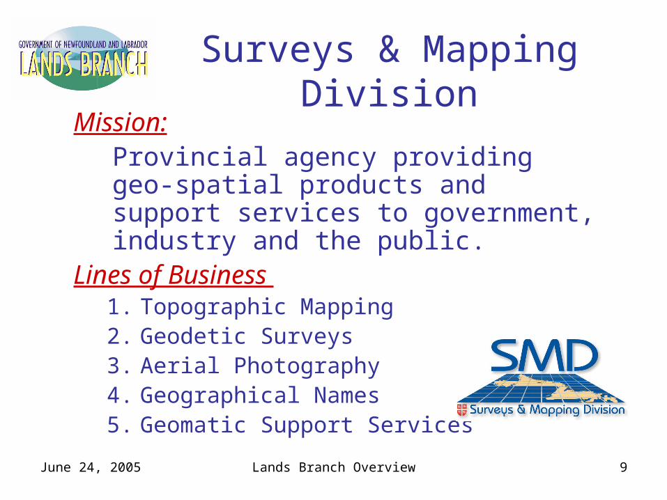
Surveys & Mapping DivisionMission:
Provincial agency providing geo-spatial products and support services to government, industry and the public.
Lines of Business 1. Topographic Mapping2. Geodetic Surveys3. Aerial Photography4. Geographical Names5. Geomatic Support Services

June 24, 2005 Lands Branch Overview 10
Topographic Mapping
• Provincial version of federal maps- 1:50,000 & 1:250,000 scales, complete coverage- Current web mapping access
• Rectified Aerial Photography-1:10,000 scale, 20% of Island of Nfld.- Includes Water & Contour lines- Planned web mapping access
• Community Mapping- mostly 1:2,500 + some 1:5,000 scales- Less than 5% of Island of Nfld- Most towns mapped, but many out-of-date - Partial web mapping access

June 24, 2005 Lands Branch Overview 11
Geodetic Surveys
• Positional reference points for legal surveys, topographic mapping and engineering surveys.
• Photo Control for topographic mapping
• 8,000 points established over 30 years.
Aerial Photography• Provincial repository of original film
• Reprinting & enlargement services
• New high precision scanning services

June 24, 2005 Lands Branch Overview 12
Geographical Names• Administers the NL Geographical Names Board
• Legislative authority to name places & features.
• Collaborates with Geographical Names Board of Canada
• Maintains data base of 36,000 records
Geomatic Support Services• Maintains central datastore of base maps
• Collaborates with the Canadian Council On Geomatics (CCOG) in building the Canadian Geospatial Data Infrastructure (CGDI)
• Fosters the Provincial Geomatics Strategy
• Implements web mapping services.

June 24, 2005 Lands Branch Overview 13
Current SMD Partnerships• Annual maintenance of road data for 5 years
– National GeoBase on Roads• Collaboration on water feature mapping
– National GeoBase on Drainage• Coastal mapping of Northern Labrador
– 4 Year Project– Canadian Hydrographic Service, Parks Canada,
Labrador Inuit Assoc. • Ortho image mapping in North/Central Nfld
– Newfoundland Forest Training Association (et al)
• Community Mapping– Highways, Several Municipalities
• Highway – Strip Mapping– For design on new Labrador Highways

June 24, 2005 Lands Branch Overview 14
Land Management Division• Key Functions:
– Develops and co-ordinates land use management plans
– Develops and co-ordinates land use policies
– Identifies, plans and develops recreational cottage lot areas
• Staffing compliment of 9.

June 24, 2005 Lands Branch Overview 15
Land Management Division
3 Core Programs:• Market Value Pricing for Crown Land
Applications• Cottage Planning and Allocation• Land Use Policy/Legislation/Resource
Management Coordination (ILUC)

June 24, 2005 Lands Branch Overview 16
Land Management Division
Cottage Lot Development 2005:• Pinchgut Lake (W) 18 lots • Big Eel Lake (C) 20 lots• Windmill Bight-Lumsden (C) 12 lots• Spread Eagle-Old Shop (E) 18 lots

June 24, 2005 Lands Branch Overview 17
Bull Pond Cottage Area42 lots allocated in 2004

June 24, 2005 Lands Branch Overview 18