الرئيسية | كلية العمارة والتخطيط...Excel 2000 (Blue Marble) (3D surfer) , (UTM) (GPS) (GPS)
Upload
myles-lambCategory
view
223download
0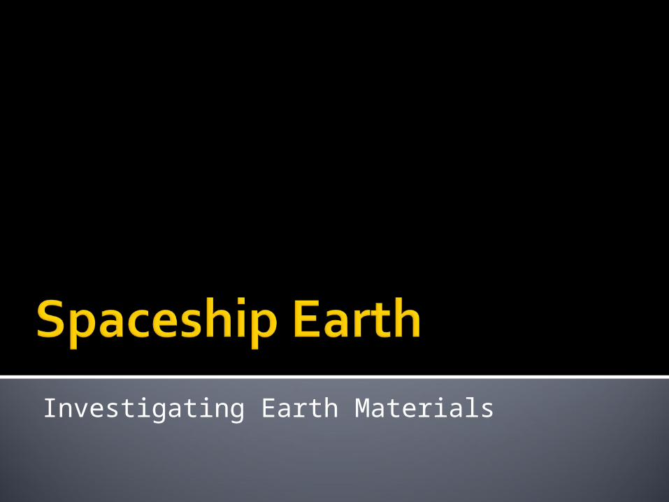
Investigating Earth Materials

The title of this photograph is “The Blue Marble”.
What is this blue marble?
Who do you think might have taken this photograph?
Why do you think they named it as they did?

What can you tell about Earth from this photograph?
The Earth is like a spaceship on which we travel.
It has everything we need to stay alive.

The Earth has rocks and soil to help us make and grow the
things we need.

And, that surface is constantly changing.

Over two-thirds of the Earth’s surface is covered by water.
Think about how many ways we use water.

And, that water is constantly moving.

What do we call the blanket of gases that surround the surface of the Earth?
The atmosphere rises above us and provides the air we breathe.

The Earth’s atmosphere is
constantly changing, too.

Man also changes the
Earth.

Your mission as an Earth scientist is to learn more about these Earth materials.
By studying the Earth and how it works, we can use and protect these natural resources.
After all, it’s the only Earth that we have.


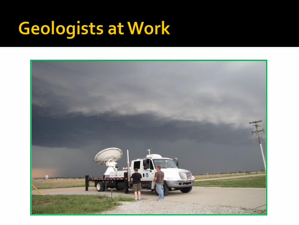


There are many more ways that geoscientists study the Earth. You can learn about some of the these interesting jobs by reading a book
or an internet resource.
Check out Elizabeth Arrendondo – Mineralogist “Mineralogist Elizabeth Arredondo loves
adventure! When she's not skydiving, she's out hunting for colorful gems and minerals.”
(PBS KIDS: Dragonfly TV)
Slides 2,3, and 11: NASA (National Aeronautics and Space Administration)Slide 4: Quarry http://resourcescommittee.house.gov/subcommittees/emr/usgsweb/photogallery/Farm Land: Jupiter Images 0400540Slide 5: Earthquake USGS (United States Geological Survey); Volcano- Govt. Volcano Site; Monahans Sandhills TPWDSlide 6: Left Slides – Jupiter Images; Right is Lake Travis (Wikipedia)Slide 7: Ocean and Waterfall – Jupiter; Glacier Ph01371JSlide 8: Jupiter ImagesSlide 9: Tornado – Jupiter; Rainbow PH03965ISlide 10: Jupiter ImagesSlide 13: USGS geologists examining rocks and (paleontologist) /htmllib/btch199/btch199j/btch199z/hwr00147.jpg Slide 14: Jupiter Images and USGS drilling rig/htmllib/btch545/btch545j/btch545z/pap0047d.jpg
Slide 15: Water sampling and soil sampling US Dept of Agriculture ARSSlide 16: NOAA (National Oceanic and Atmospheric Administration); NSSL (National Severe Storms Laboratory)Slide 17: USGS /htmllib/batch36/batch36j/batch36z/hvo00412.jpg Hawaii volcano geologists and Earthquake PhotoSlide 18: Moon Surface Geologists – NASA