Why Aid for Education to India? Christopher Colclough and Anuradha De.
Importance of Master Planning
Marcy ColcloughSenior Planner
Southwest Michigan Planning Commission

WHERE and HOW we develop Land affects Water Quality!
43.2 Acres total
20 Homes
35.8 Acres of open space

Why Local Protection?Land Use Decisions - LOCALGreatly impact water and natural resources
Michigan Planning Enabling Act: to promote public health, safety and general welfare.
Local Government has authority to protect water and wetlands beyond federal and state government
Clean Water Goal –How it will be achieved?


We care about water….
Swimming
Drinking water
Playing in the water

• Identify & Map –Where are they?FUTURE LAND USE MAP!
• Values/Benefits –What functions do/did they serve?
• Goals/Policies
The Master PlanMaster Plan – guide for where and how land is developed

• Ensure streams, rivers, lakes and wetlands are clean and healthy.
• Protect wetlands and wetland function to protect water quality, mitigate flooding and provide aquatic habitat.
• Protect and restore wetland areas and their functions, thereby protecting and improving hydrology and water quality.
Goals

• Update zoning ordinance to include natural features buffers
• Ensure natural features and water quality are considered during site plan review
• Encourage/provide incentives for open space developments and low impact development techniques.
Objectives/Policies

Future Land Use MapIdentifying Opportunities for Protection and Restoration

Future Land Use Map

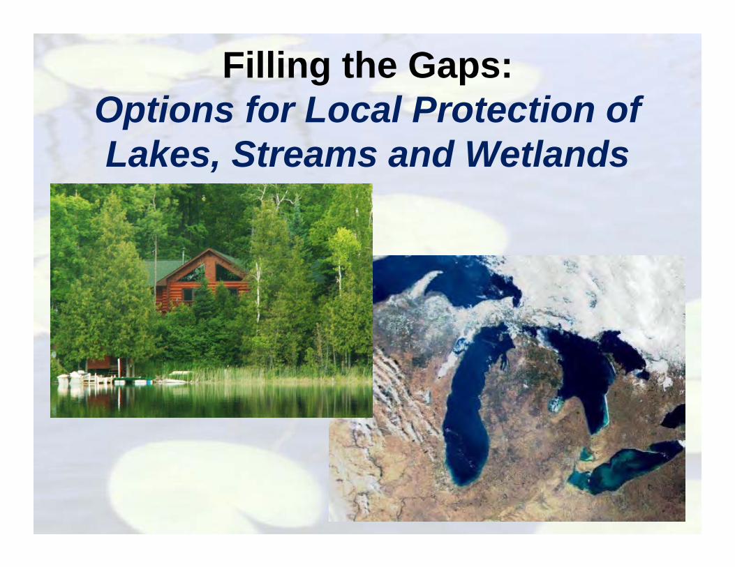
Filling the Gaps:Options for Local Protection of Lakes, Streams and Wetlands

• Natural Features Setback
• Wetland Ordinances
• Site Plan Review
• Permit Coordination
• Stormwater Management
• Open Space/ Conservation Design
• Septic Systems
Options for Local Protection

Natural Features Setback

Natural Features Setback• Minimum setback for structures/septic systems• Vegetated buffer strip adjacent to water
– Last Line of Defense - last opportunity to clean polluted runoff
• Lakes, Wetlands, Streams, Rivers
Over 60% of water pollution comes from runoff

• How wide? Typical…– 25-50 feet – wetlands – 25-100 feet – lakes, rivers and streams– Consider current conditions– Customize widths – Applies to new construction or when a building permit
is granted.
Natural Features Setback

Natural Features SetbackOther provisions for setback area:•Restrict clearing/trimming – except dead/diseased, path to access to water
•Require native vegetation in buffer area
•Restrict shoreline activities/alterations•One pier/dock per lot (50 ft in length)•Restrict sea walls and beach sanding•Restrict hazardous materials and uses•Restrict fertilizer use
•Limit construction footprint•25% of total lot area or 10,000 ft2
•Limit impervious surfaces•10-20% (reduce hardscaping, encourage pervious materials)

Natural Features Setback
Benefits• Improves water quality• Reduces damage from flooding/erosion/wave action• Preserves aesthetic views• Increases recreational
enjoyment• Reduces noise levels• Increases taxable
value• Provides wildlife
habitat
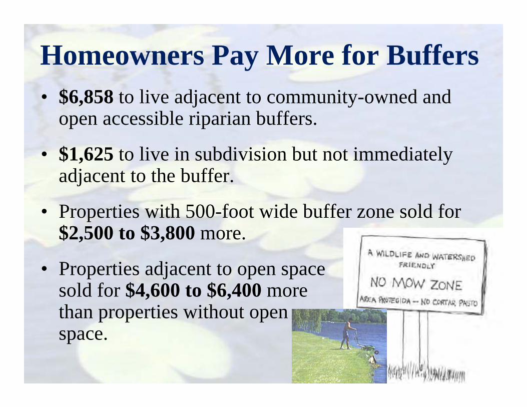
• $6,858 to live adjacent to community-owned and open accessible riparian buffers.
• $1,625 to live in subdivision but not immediately adjacent to the buffer.
• Properties with 500-foot wide buffer zone sold for $2,500 to $3,800 more.
• Properties adjacent to open space sold for $4,600 to $6,400 more than properties without open space.
Homeowners Pay More for Buffers

• Site Plan Review
• Permit Coordination
• Stormwater Management
• Open Space/ Conservation Design
• Septic Systems
Other Options for Local Protection

Site Plan Review

Require EXISTING natural features to be shown on site plan Waterbodies (lakes, ponds, streams, rivers) Wetland boundaries (size, type) Large stands of mature trees Hydric Soils Topography Floodplains Others?
Site Plan Review

Site Plan Review Standards• Restrict development in hydric soil areas and
minimize impacts to wetlands• Restrict removal or alteration of natural features/
shorelines• Preserve topography and natural drainage patterns
(swales, low areas, wetlands, ponds)• Encourage/Require Low
Impact Development • Explicitly state that
applicants abide by county, state & federal laws

Incorporate Topography into design (utilize natural drainage patterns)
TopographicLows
Preserved for
Bioswales
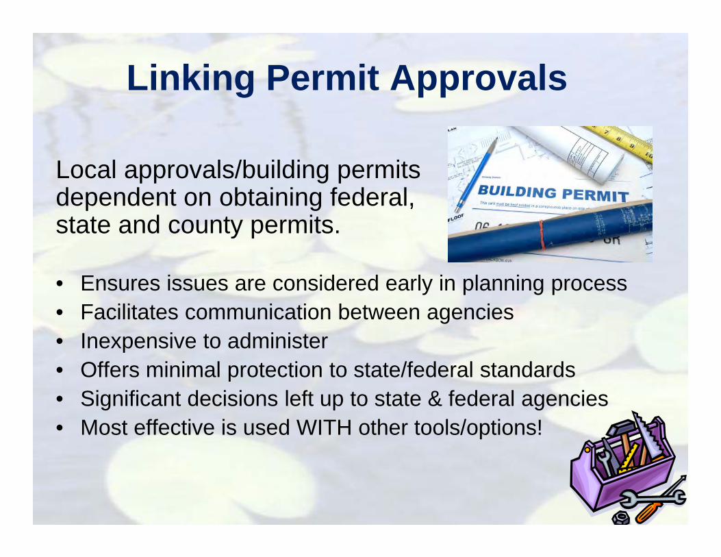
Linking Permit Approvals
Local approvals/building permits dependent on obtaining federal, state and county permits.
• Ensures issues are considered early in planning process• Facilitates communication between agencies• Inexpensive to administer• Offers minimal protection to state/federal standards• Significant decisions left up to state & federal agencies• Most effective is used WITH other tools/options!

Stormwater Management

Stormwater ManagementAs little as 10% impervious surface cover within a watershed can cause water quality and habitat degradation.
FIG URE 1 - Relationship of Impervious Cover to Stream Health

Stormwater Management• Reduce amount of runoff leaving a site by encouraging
infiltration and clean/filter polluted runoff – Limit impervious areas (especially parking!)– WATER – SLOW IT DOWN– SPREAD IT OUT – SOAK IT IN
• Require/Encourage low impact development techniques (rain gardens, swales, bioretention, green roofs, permeable pavement)
• Require routine maintenance • Discourage use of natural wetlands to treat stormwater
www.swmpc.org/lid.asp
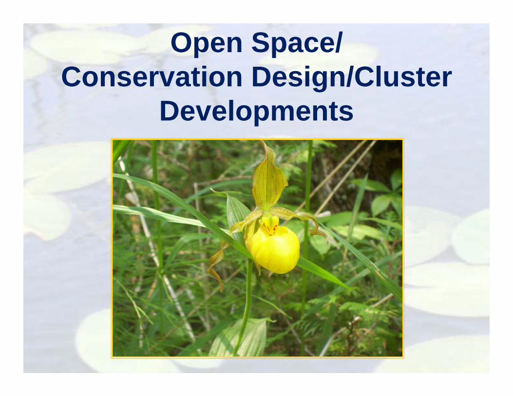
Open Space/Conservation Design/Cluster
Developments

Open Space/Conservation Design Developments
Traditional Open Space Development
• Inventory/map special site features• Building envelopes respect and retain special features• Significant portion of the site protected as permanent open space

Considerations• A by-right form of development
• Require open space (30-50%) for all PUDs– Explicitly require wetlands to be included in open space areas
and are often not counted toward the required open space percentage.
• Allow for flexible site design criteria (setbacks, road widths, lot sizes)
• Provide Incentives for developers to preserve additional open space and conserve non-regulated lands (small wetlands, shorelines)
– Density bonuses
• Protection provided by conservation easement, deed restriction, covenants


43.2 Acres total
20 Homes
35.8 Acres of open space

The Pokagon Development- Minimized impervious areas (35 acres of open space (80%)- Maximized infiltration & groundwater recharge LID Techniques
Narrow/porous roads
No curb and gutter
Porous trail surfaces
Efficient floor plans
Native plants/ grasses
Bioswales/rain gardens
80% Preserved open space
WATER •SLOW IT DOWN•SPREAD IT OUT•SOAK IT IN

“Save It, Don’t Pave It” philosophy
Clustered homes and 40% preserved open space
Enhancement and extensive buffering of wetlands and ponds
Site design to decrease number, length and width of roadways
Grass swales/open channels instead of curb and gutter, where feasible
Native vegetation plantings used for stormwater treatment and filtration
Sand and pretreatment filter systems for commercial parking areas

Septic Systems
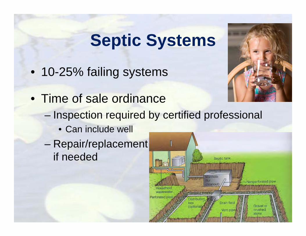
Septic Systems
• 10-25% failing systems
• Time of sale ordinance– Inspection required by certified professional
• Can include well – Repair/replacement
if needed
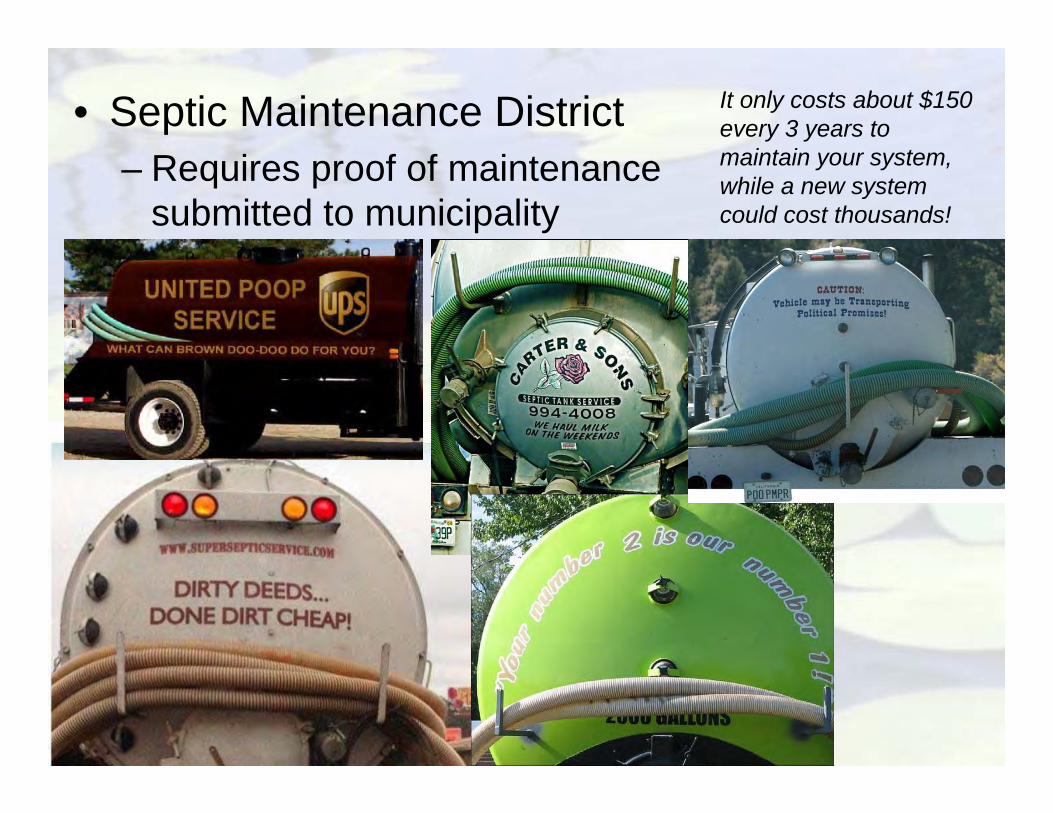
• Septic Maintenance District– Requires proof of maintenance
submitted to municipality
It only costs about $150 every 3 years to maintain your system, while a new system could cost thousands!