Impact of high resolution modeling on ozone predictions in the Cascadia region
16
Impact of high resolution modeling on ozone predictions in the Cascadia region Ying Xie and Brian Lamb Laboratory for Atmospheric Research Department of Civil & Environmental Engineering Washington State University
-
Upload
vance-pace -
Category
Documents
-
view
26 -
download
2
description
Impact of high resolution modeling on ozone predictions in the Cascadia region. Ying Xie and Brian Lamb Laboratory for Atmospheric Research Department of Civil & Environmental Engineering Washington State University. Motivation. The need for resolving the topographical features - PowerPoint PPT Presentation
Transcript of Impact of high resolution modeling on ozone predictions in the Cascadia region

Impact of high resolution modeling on ozone predictions in the Cascadia region
Ying Xie and Brian Lamb
Laboratory for Atmospheric Research
Department of Civil & Environmental Engineering
Washington State University
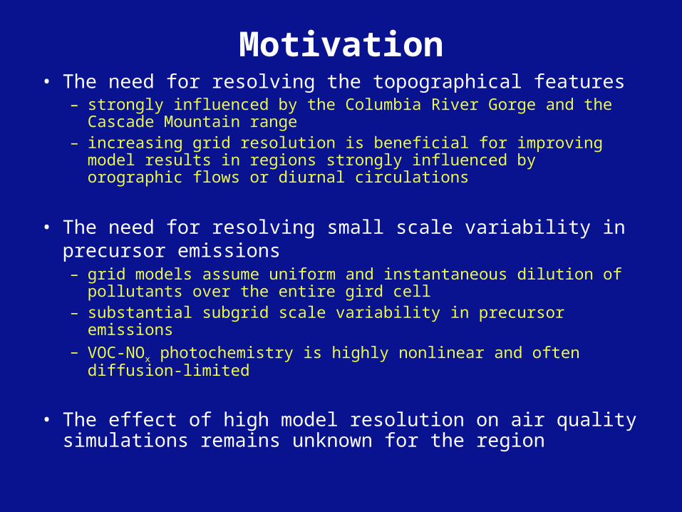
Motivation• The need for resolving the topographical features
– strongly influenced by the Columbia River Gorge and the Cascade Mountain range
– increasing grid resolution is beneficial for improving model results in regions strongly influenced by orographic flows or diurnal circulations
• The need for resolving small scale variability in precursor emissions– grid models assume uniform and instantaneous dilution of pollutants
over the entire gird cell– substantial subgrid scale variability in precursor emissions– VOC-NOx photochemistry is highly nonlinear and often diffusion-
limited
• The effect of high model resolution on air quality simulations remains unknown for the region

Methodology• MM5/SMOKE/CMAQ modeling system• July 1998 ozone episode (July 26-28):
– 1-hr peak 140 ppb• Domain:
– nested 4 km/1 km domain– 1 km: 280x176 horizontal grid cells, 28 layers in the vertical (1st layer at 19 m)
• Meteorology: – MM5 v3.7
• Emissions: – SMOKE v2.0– 1 km surrogates: population, mileage on roadways, major airport, livestock, and
Oregon drycleaners• Air quality:
– CMAQ v4.6• BC/IC:
– 4 km: July average MOZART-2 (1990-1999) – 1 km: use IC/BC from the 4 km simulation
• Chemical mechanism: – SAPRC99

• A & B – Investigate the effects of high resolution met
input
• B & C– Investigate the effects of high resolution emission
inventories
Runs MM5
resolution (km)
Emission resolution
(km)
First layer height
(m) A 4Met/EI 4 4 19 B 1Met_4EI 1 4 19 C 1Met/EI 1 1 19
Simulations and analysis
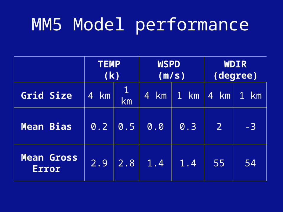
TEMP (k)
WSPD (m/s)
WDIR(degree)
Grid Size 4 km 1 km 4 km 1 km 4 km 1 km
Mean Bias 0.2 0.5 0.0 0.3 2 -3
Mean Gross Error
2.9 2.8 1.4 1.4 55 54
MM5 Model performance

Emissions - NO (15 LST July 27, 1998)
4 km
1 km

CMAQ results -NOx concentrations
A (4Met/EI) B (1Met_4EI)
C (1Met/EI) C - B (1Met/1EI - 1Met_4EI)

O3 Concentrations - High resolution MM5 run
B - A (1Met_4EI - 4Met/EI)
B (1Met_4EI)A (4Met/EI)

O3 Concentrations - High resolution emissions run
C (1Met/EI)B (1Met_4EI)
C - B (1Met/1EI - 1Met_4EI)

1MET/EI

O3 time series
Conclusions• Using high resolution meteorological input alone
– has a larger impact on the position and peak levels of the O3 plume
– O3 are higher in the 1 km case in areas where the terrain effects are substantial
• Using high resolution emissions
– affect small-scale features in O3 patterns mainly within the urban area
– both O3 increases and decreases can be identified

Future research
• Investigate the impact of vertical resolution upon ozone predictions
( 1st layer @ 38 m vs. @ 19 m)
• Investigate how horizontal and vertical resolution affect the interactions between different processes with process analysis

Acknowledgements
• Thanks to Sally Otterson and Rob Elleman for help with the 1 km input data and setup.


Objectives
• investigate the impact of high resolution meteorological and photochemical modeling on ozone predictions for the region
• compare the relative effects of high resolution meteorological input versus high resolution emissions